
Umbria · Perugia
Cascia
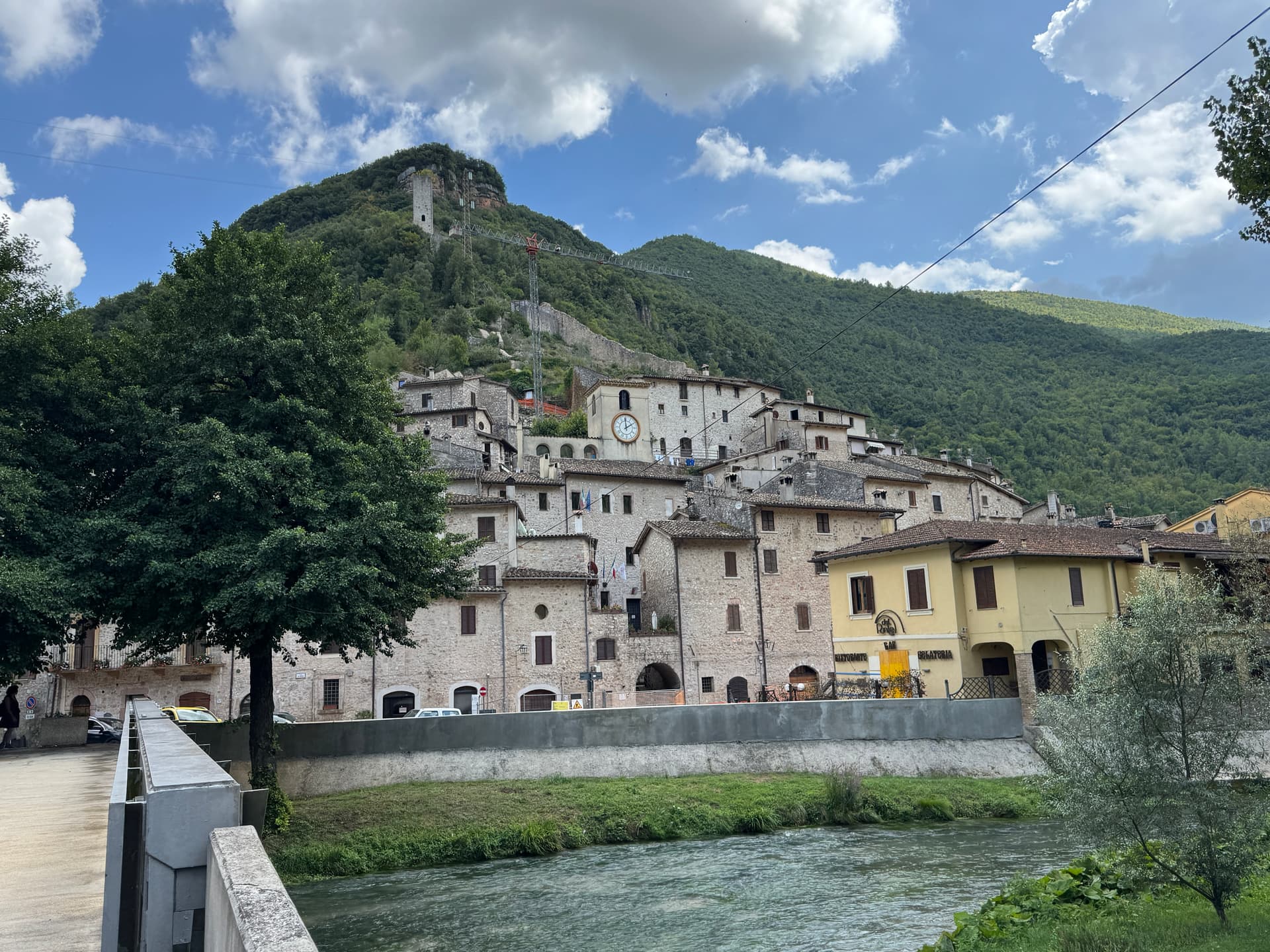
Santa Rita's town at 653 meters in the upper Valnerina, in the seismic corner of Umbria that the 2016 earthquake reopened.
Known for
SANTA RITA
Augustinian nun who died in Cascia in 1457, canonized in 1900, patron of impossible causes and the town's central economy.
TARTUFO NERO
Black truffle of the upper Valnerina, harvested in the woods above town, the secular half of Cascia's annual calendar.
2016 EARTHQUAKE
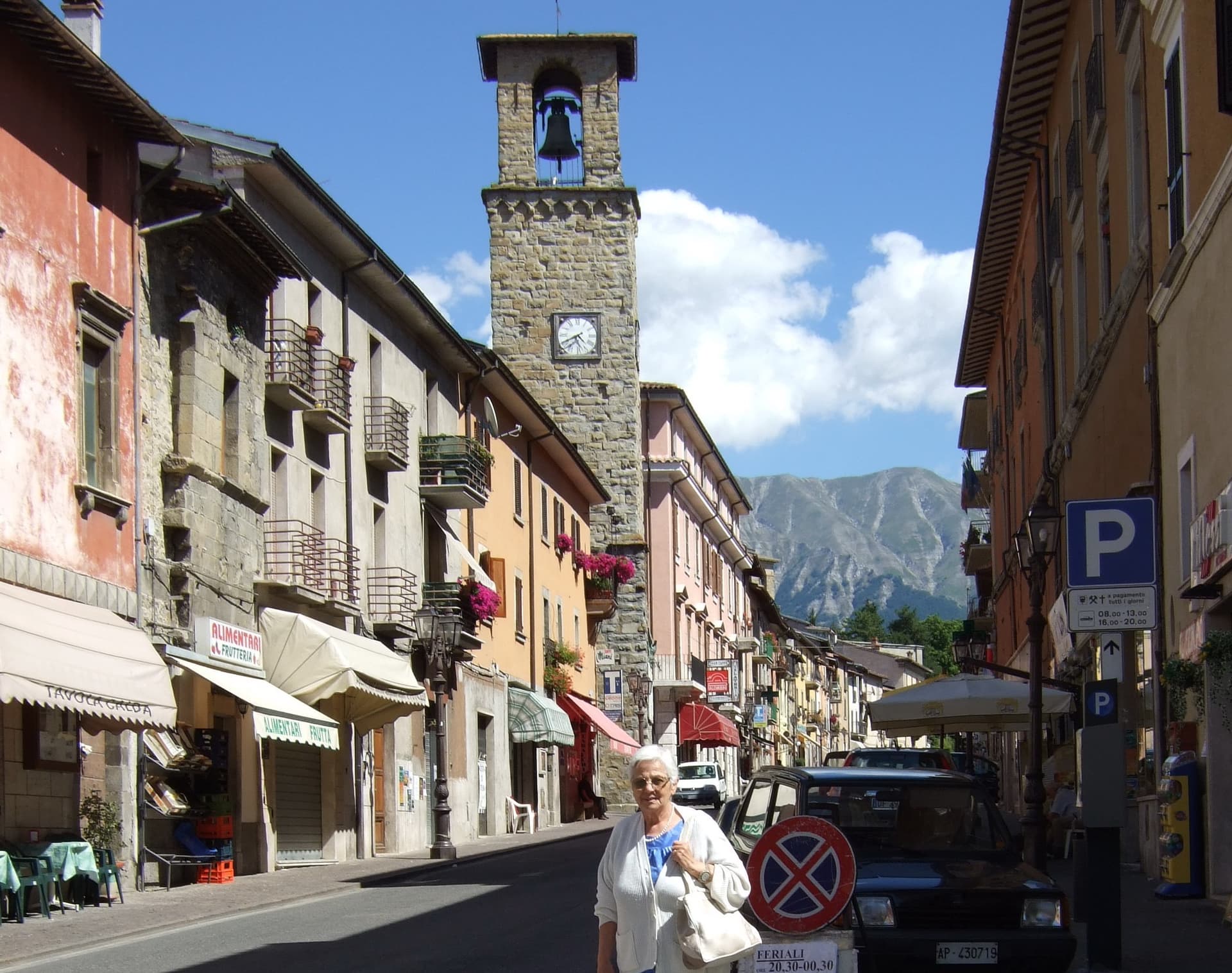
August 2016 sequence damaged the basilica and centro storico, part of an active seismic corner that has shaken the town for centuries.
When to visit
Best · May–Oct
- J
- F
- M
- A
- M
- J
- J
- A
- S
- O
- N
- D
- Best
- Hot or crowded
- Quiet
- Mostly closed
The festa: Rita da Cascia, 22 May
Why come
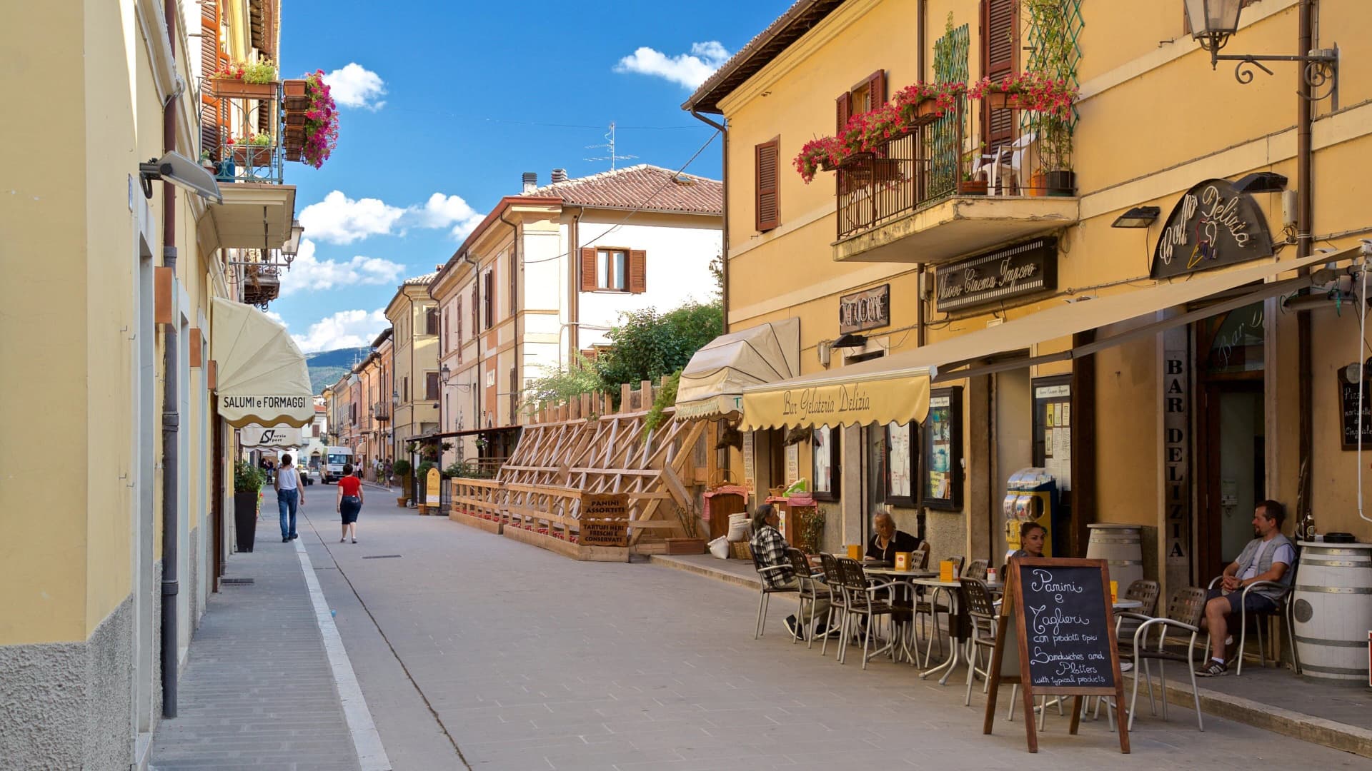
Cascia sits at 653 meters in the mountainous southeastern corner of Umbria, a remote pocket of the upper Valnerina near the Marche and Lazio borders. The commune carries the highest seismic activity in the region together with Norcia twelve kilometers away, and a long history of destructive earthquakes that culminated in the August 2016 sequence. The town is built around Rita Lotti, who died in the Augustinian monastery here in 1457 and was canonized as Santa Rita in 1900.
The Basilica di Santa Rita, built 1937-1947 in white Tivoli travertine on the site of the older church, draws pilgrims year-round and turns Cascia into a town that runs on faith and on truffle. The Cammino di San Benedetto passes through, linking Norcia to Subiaco and Montecassino. Visitors not pilgrims tend to come for the black truffle, the lentils of nearby Castelluccio, and the silence of the high pastures above town.
The Sunday letter
We haven’t written Cascia’s letter yet.
One town every Sunday, with the photo, the food, the festa. Be there when this one comes up. Free, by Peter & Sophia from Pietrasanta.
By subscribing you agree to Substack’s Terms of Use, our Privacy Policy and our Information collection notice.


What to see
Basilica di Santa Rita
Built 1937-1947 in white Tivoli travertine, Greek-cross plan, frescoes by Montanarini, Filocamo, Consadori, Ceracchini and Vicenzi.
Monastero di Santa Rita
Augustinian monastery where Rita Lotti lived and died in 1457, attached to the basilica and still active as a religious community.
Chiesa di San Francesco
Medieval Franciscan church in the lower centro storico, fourteenth and fifteenth-century frescoes inside.
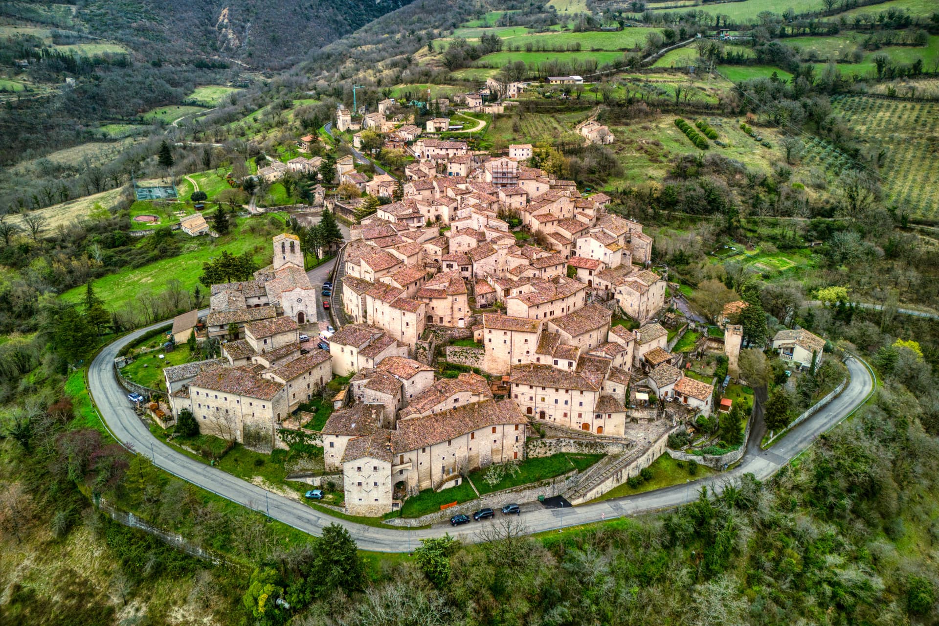
Centro storico medievale
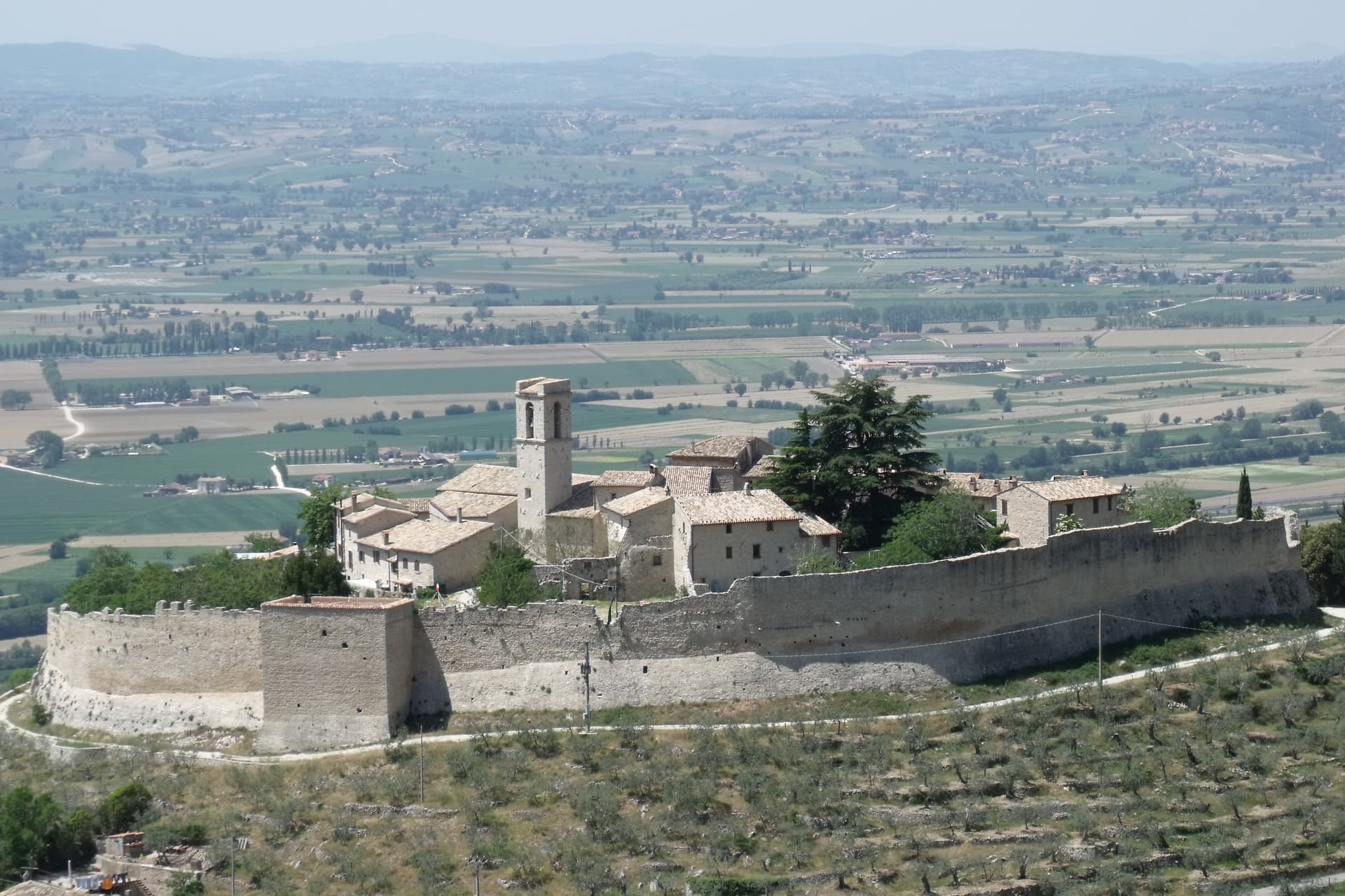
Compact upper town around the basilica, partially restored after the 1979 and 2016 quakes, remains of medieval fortifications.
Cammino di San Benedetto
Pilgrim route from Norcia toward Subiaco and Montecassino, with Cascia as the main Umbrian stage.
The slow-trip planner
Building a trip? Find where Cascia fits in a slow Italy circuit.
Answer five questions. We will shape a geographically coherent slow trip from the 1,000 Italian towns most travelers skip. Yours to save and share.
Living here
- Population 2,957
- Off the beaten pathi
- Pharmacy in town
- High school within a 30-minute drive
- Nearest airport Ancona / Pescara, 2 h 34 min drive
- Regional capital Perugia, 1 h 47 min drive
Tags & datadesignations · numbers · sources
Recognised as
The numbers
- Elevation: 653 m
- Population: 2,957
- Surface area: 180.85 km²
These figures were compiled from public directories — ISTAT, OpenStreetMap, Wikidata — and from the official listings of the guides named on this page. Town details change; verify with official sources before you travel.
Close by
More towns near Cascia

Monteleone di Spoleto
Province: Perugia
Where the 6th-century-BC Etruscan parade chariot now in the Met was found — a 555-resident Borghi più belli d'Italia borgo at 978m in the upper Nera valley, with a replica of the Monteleone Chariot (the original is in New York), the medieval Rocca dei Brancaleoni, and a stop on the Cammino di San Benedetto pilgrim route.
Norcia
Province: Perugia
Birthplace of San Benedetto at 604 meters on a Sibillini plateau, leveled by the 2016 earthquake and rebuilt stone by stone.
Vallo di Nera
Province: Perugia
Castle village of 345 people at 467 meters in the upper Valnerina, granted by Spoleto in 1217 and barely changed since.

Labro
Province: Rieti
A 355-person stone borgo at 628 meters above Lake Piediluco, restored since the 1960s by a Belgian architect and his descendants.
Amatrice
Province: Rieti
A 955-meter Apennine town leveled by the 24 August 2016 earthquake, slowly rebuilding the streets that gave amatriciana its name.
🍄 Città del Tartufo
More Città del Tartufo towns in Umbria
Campello sul Clitunno
Province: Perugia
Springs of the Clitunno and the Lombard Tempietto on the valley floor at 290 meters, the temple inscribed by UNESCO in 2011.

Città di Castello
Province: Perugia
The upper Tiber valley's Renaissance + 20th-c art capital — 38,000-resident walled town in the Alta Valtiberina where Raphael painted his first independent commissions, where Alberto Burri (1915-95) founded the Fondazione that now occupies the 14th-c Ex Seccatoi del Tabacco + the Palazzo Albizzini, and where the white truffle season + the Mostra del Tartufo in November are the year's headline food event.
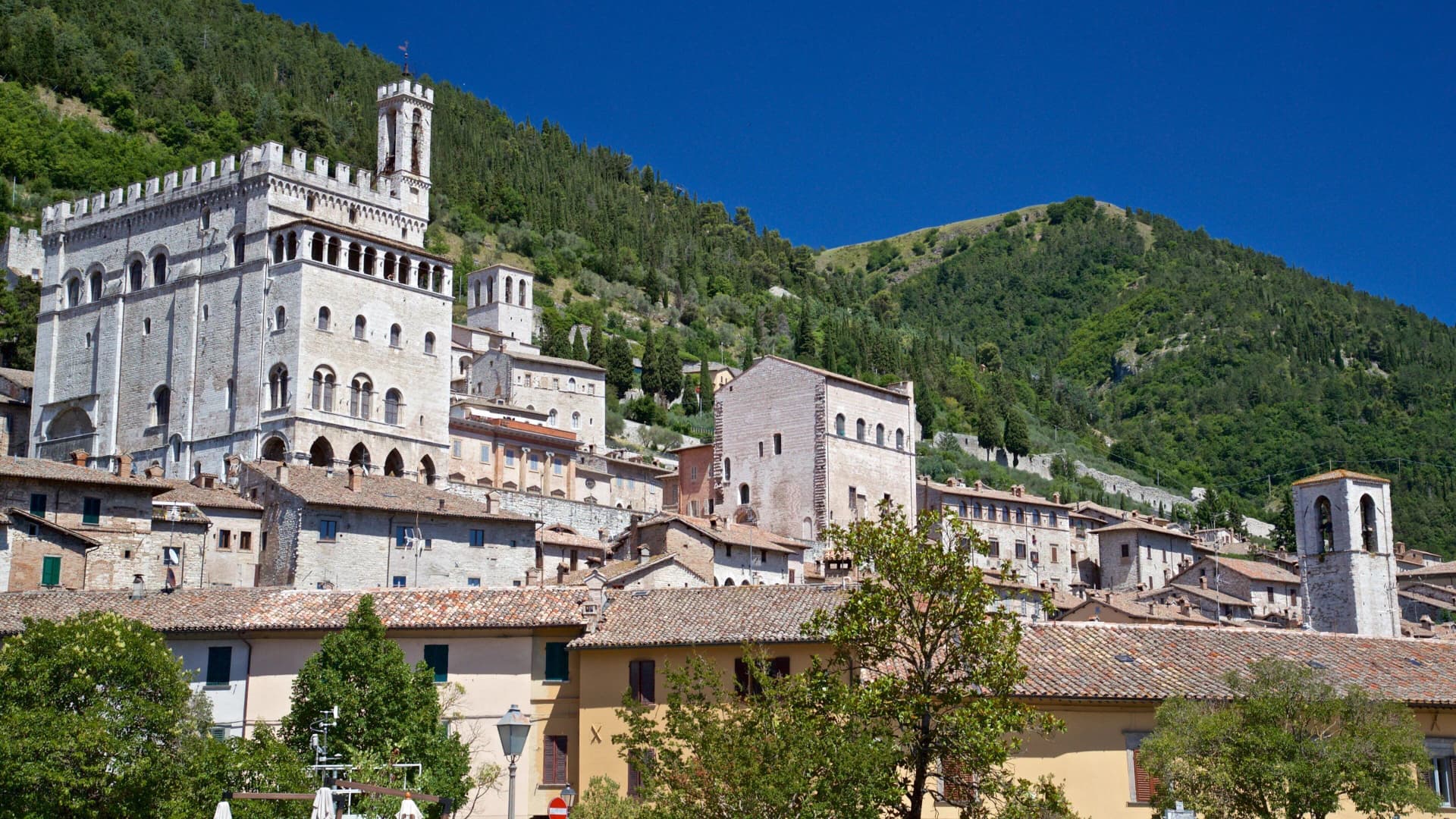
Gubbio
Province: Perugia
Pre-Roman Ikuvium of the Umbri at the foot of Monte Ingino, where seven bronze tablets carry the longest text of the Umbrian language.
Pietralunga
Province: Perugia
A pre-Apennine hill town at 566 meters on the northeast Tiber ridge, ringed by truffle woods and white-potato fields.
Scheggino
Province: Perugia
Triangular castle village on the banks of the Nera at 280 meters, where the first commercial Italian truffle company was founded in 1928.