
Tuscany · Pisa
Pomarance
The capital of the Tuscan geothermal field, where industrial steam plumes rise from the same hills that produced two Renaissance painters.
96 km / 60 mi
Nearest hub (Livorno)
5,299
Population
Apr–Oct
Best time to visit
Recognised as
Why come
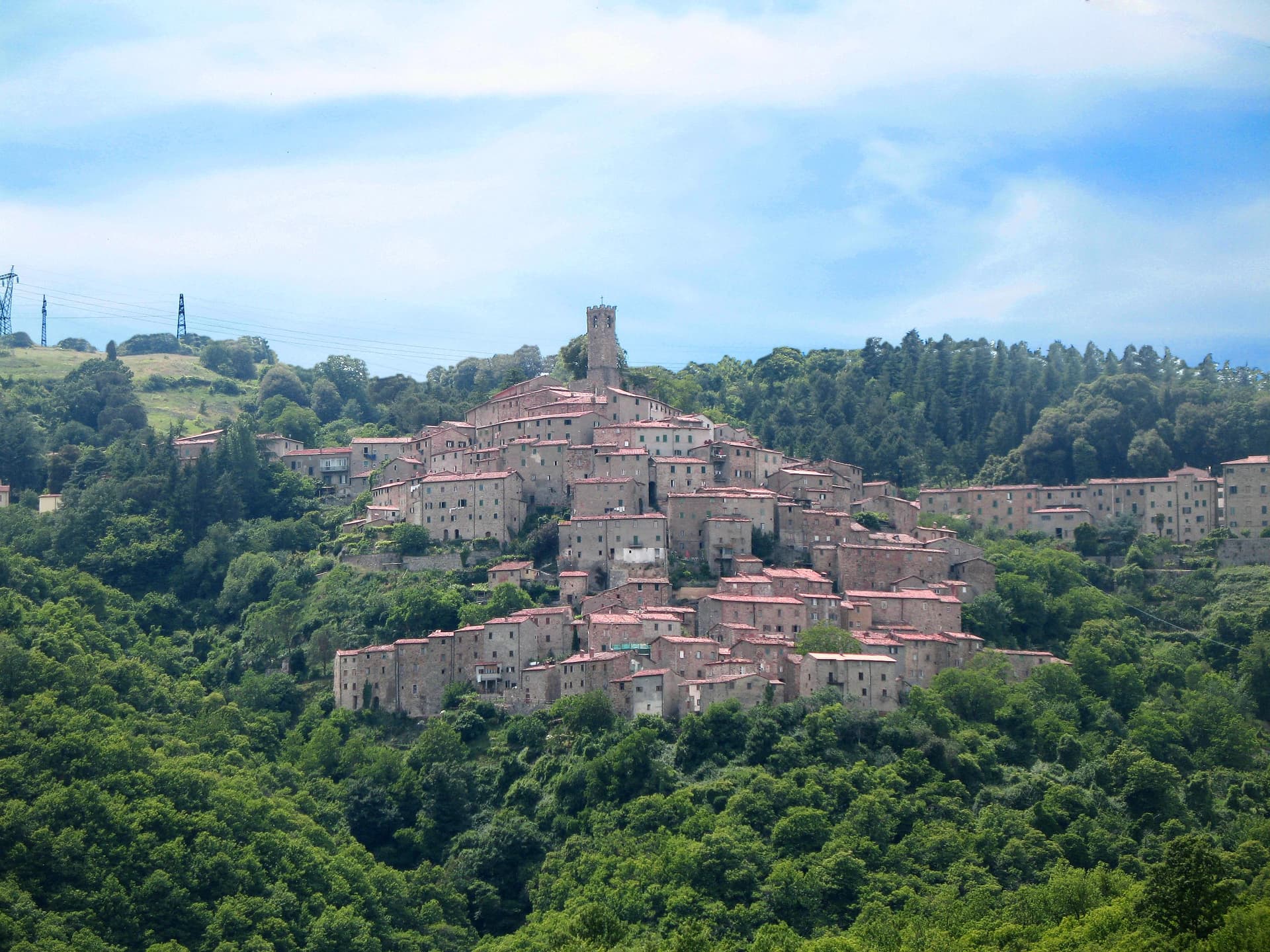
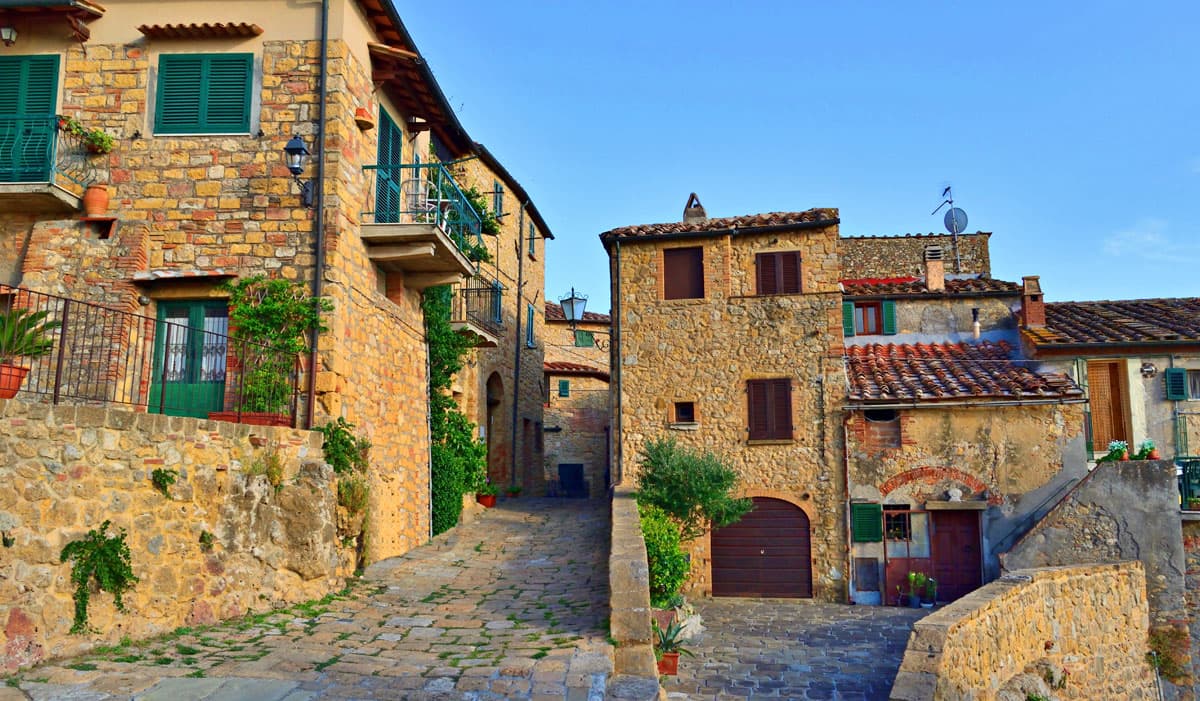
Pomarance sitsabove the upper Cecina valley, the administrative center of the Tuscan geothermal field. The frazione of Larderello, four kilometers down the road, is where Francesco Larderel began industrial harvesting of natural steam in 1818, building the first geothermal power station in the world here in 1904. The Museo della Geotermia documents the technology that now produces around a quarter of Tuscany's electricity. Two of the late-Mannerist painters known as the Pomarancio, Niccolò Circignani and his student Cristoforo Roncalli, were born in the town and worked in Rome under Pope Clement VIII. The centro storico keeps a row of seventeenth-century palazzi along Corso Matteotti, including Palazzo Bicocchi, now a museum of bourgeois Tuscan interiors. The Rocca Sillana, the pentagonal Pisan-Florentine fortress, rises on the next ridge over, surveying the entire steam-and-stone landscape.
The slow-trip planner
Building a trip? Find where Pomarance fits in a slow Italy circuit.
Answer five questions. We will shape a geographically coherent slow trip from the 1,000 Italian towns most travelers skip. Yours to save and share.
Gallery
10 photos · scroll →
Known for
Museo della Geotermia
Industrial-history museum in Larderello on the world's first geothermal power station, opened on the site in 1904.
Palazzo Bicocchi
Seventeenth-century townhouse on Corso Matteotti, preserved as a museum of bourgeois Tuscan interiors from the nineteenth century.
Rocca Sillana
Pentagonal Pisan-Florentine fortress on the next ridge, surveying the geothermal valley below.
Larderello geothermal field
Industrial steam plumes and cooling towers across the frazione of Larderello, the first commercial geothermal site in the world.
Chiesa di San Giovanni Battista
Medieval parish church in the centro storico, with later additions including frescoes attributed to the Pomarancio school.
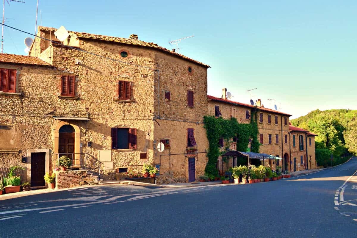
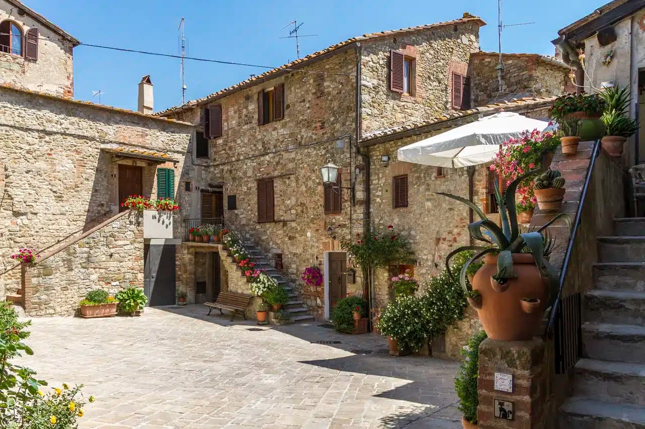
Centro storico
Corso Matteotti runs the length of the old town, lined with seventeenth-century palazzi between two parish churches.
When to visit
Best months · Apr–Oct
- J
- F
- M
- A
- M
- J
- J
- A
- S
- O
- N
- D
- Best
- Hot or crowded
- Quiet
- Mostly closed
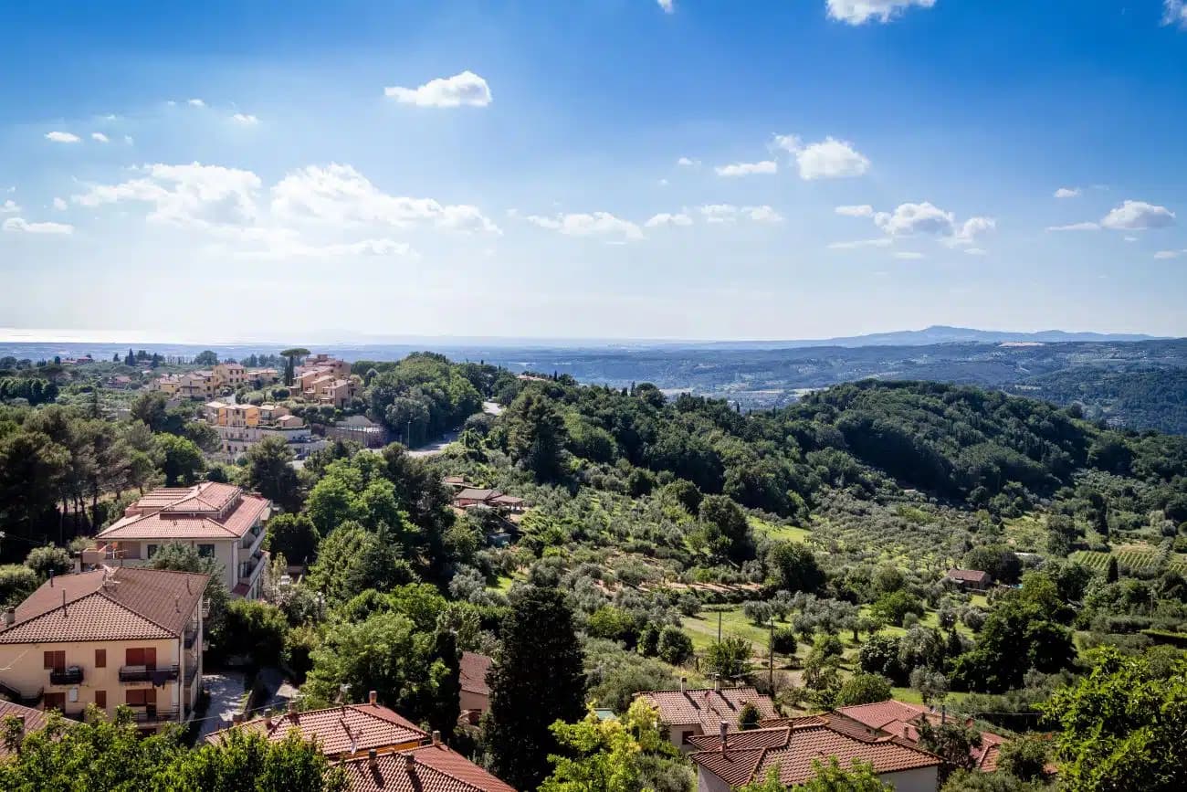
April through June is dry and green, with the hills still cool and the geothermal plumes visible against the morning air. September and October are the second window, with the smaller sagre across the comune. July and August are hot in the valley; the centro storico empties in the afternoon and the temperature drops sharply once the sun goes off the ridge. November through March is quiet. The plumes from Larderello show more in cold air, the Rocca Sillana stays open by booking, and the trattorie on Corso Matteotti run the long winter stews built around chestnuts and wild boar.
How to get there
From Livorno, Pomarance is roughly 96 km by road. Allow about 82–115 minutes depending on traffic and route choice (autostrada vs scenic).
Drive time to the nearest gateway airports
- Florence / Pisa2h 3m
- Bologna3h 4m
- Genoa3h 42m
Elevation 369 m
Subscribe — free
Get the best guides on hidden Italian towns.
One letter on Sundays. The week’s town, with the photo, the food, the festa. Free, by Peter & Sophia from Pietrasanta.
Substack sends a confirmation link to your inbox. The signup finishes when it’s clicked.
Close by
More towns near Pomarance
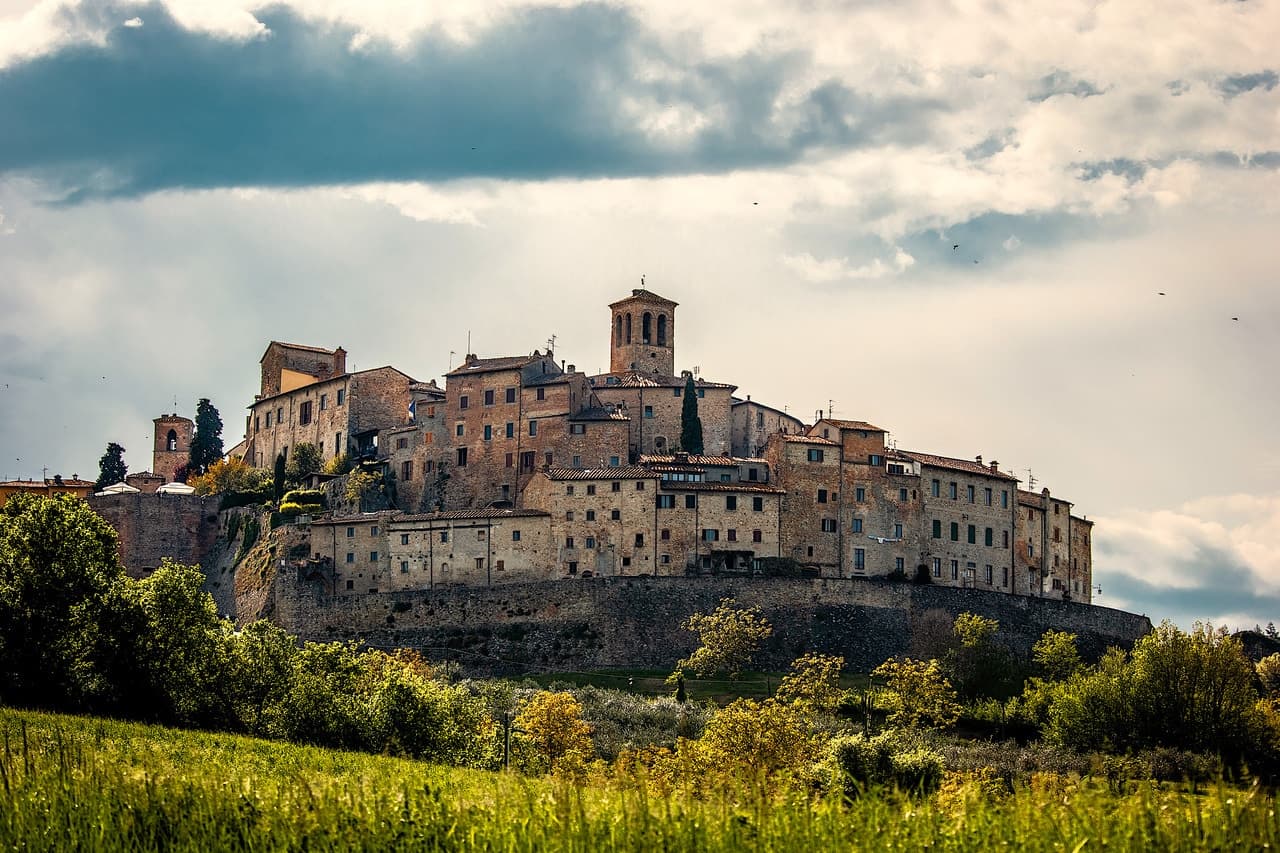
Castelnuovo di Val di Cecina
Province: Pisa
A copper and geothermal borgo at 576 meters in the Cecina valley, where natural steam vents and medieval towers sit on the same hill.
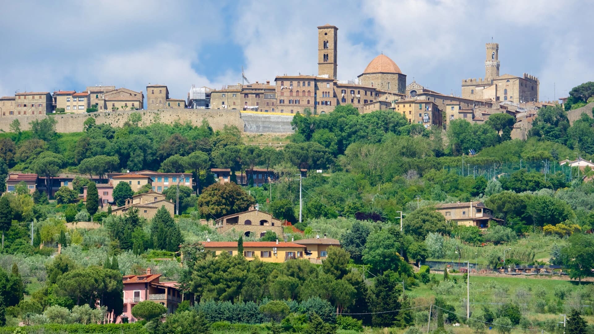
Volterra
Province: Pisa
The Etruscan acropolis of Velathri at 531 meters, the alabaster town that has been carving the same stone for three thousand years.
Casale Marittimo
Province: Pisa
A concentric stone borgo at 214 meters above the Val di Cecina, built where a seventh-century BC Etruscan outpost of Volterra once stood.
Montescudaio
Province: Pisa
A fortified hill borgo at 242 meters above the Val di Cecina, named for a mountain of shields, with DOC wine since 1977 and bread, oil and grape all stamped in its identity.
Bibbona
Province: Livorno
An Etruscan-origin hill village above the Costa degli Etruschi, with a Romanesque parish church and a Lorraine-built coastal fort eight kilometers down the road at Marina di Bibbona.
🟠 Bandiera Arancione
Other Bandiera Arancione towns in Tuscany
Abetone Cutigliano
Province: Pistoia
The Apennine ski pass at 1,388 meters where the Granduca's two stone pyramids of 1778 mark the old Tuscan-Modenese border.
Anghiari
Province: Arezzo
A walled medieval town at 430 meters over the upper Tiber valley, where Florence beat Milan in 1440 and Leonardo started the fresco he never finished.
Barga
Province: Lucca
A medieval hilltop town at 410 meters in the Serchio valley between the Apuan Alps and the Apennines, where Giovanni Pascoli wrote his last poems and the August festival serves fish and chips.
Casale Marittimo
Province: Pisa
A concentric stone borgo at 214 meters above the Val di Cecina, built where a seventh-century BC Etruscan outpost of Volterra once stood.
Castelnuovo Berardenga
Province: Siena
A Chianti Classico commune at 351 meters between the Ombrone and the Crete Senesi, the last castle Siena built against Florence, in 1366.