

Tuscany · Livorno
Capraia Isola
A volcanic island of 370 residents and one village, the third largest of the Tuscan Archipelago, a penal colony from 1873 to 1986 and a national park since.
Known for
VOLCANIC ISLAND
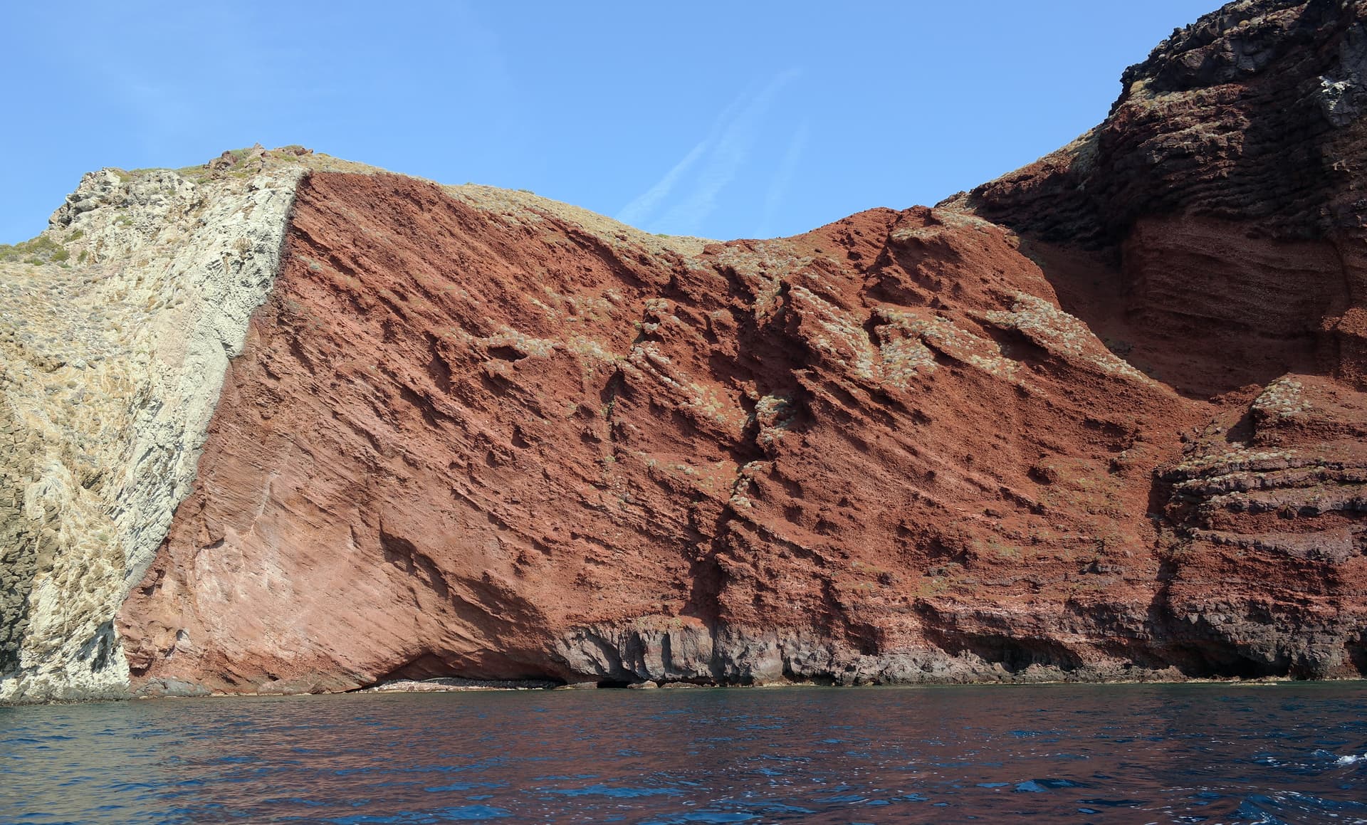
Third largest in the Tuscan Archipelago, the only one of volcanic origin, with the eruption cone still visible at Cala Rossa.
PENAL COLONY
Italian state-run agricultural prison from 1873 to 1986, occupying two thirds of the island and emptying the original population.
ARCIPELAGO TOSCANO PARK
Whole island and surrounding waters protected since 1996 inside the largest marine park in the European Mediterranean.
When to visit
Best · May–Sep
- J
- F
- M
- A
- M
- J
- J
- A
- S
- O
- N
- D
- Best
- Hot or crowded
- Quiet
- Mostly closed
The festa: Nicola di Bari, 6 December
Why come
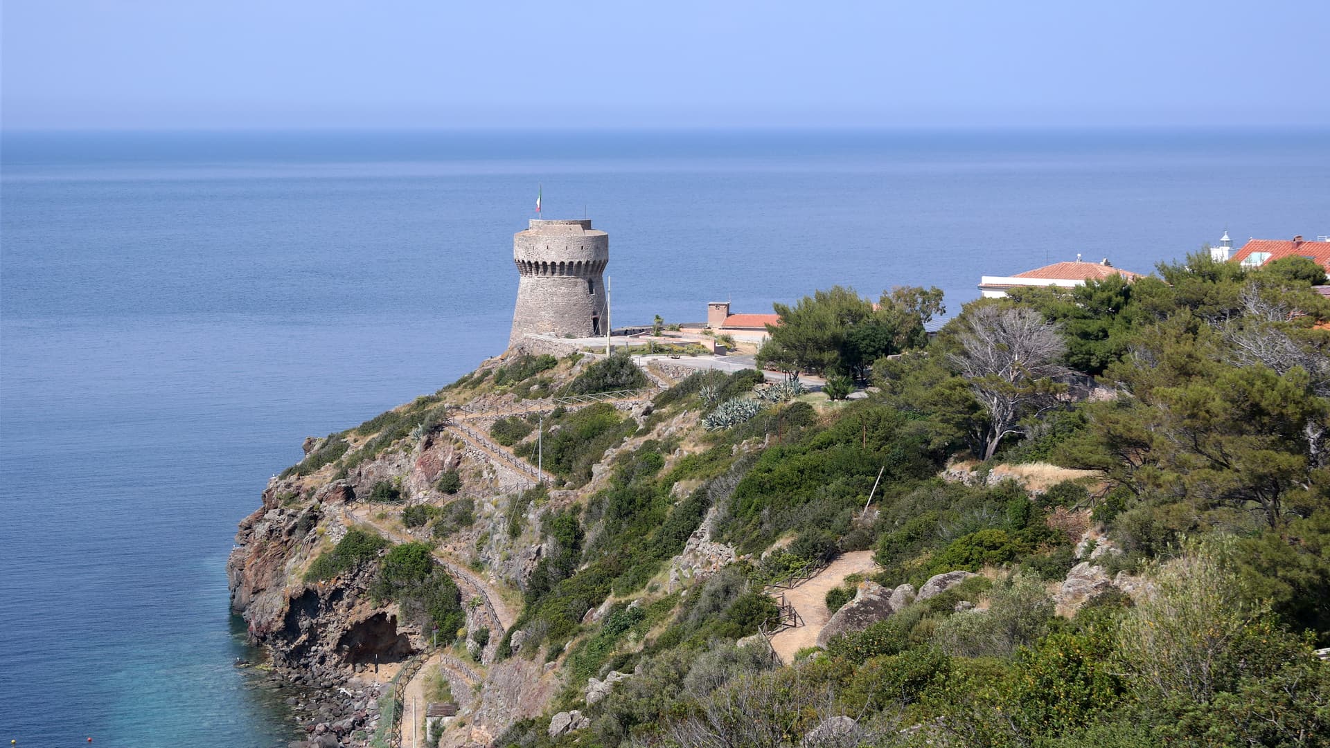
Capraia is a volcanic island in the Tuscan Archipelago, the third largest after Elba and Giglio, the northernmost of the seven. The eruption cone is still visible at Cala Rossa, where the cliffs hold the red of oxidized basalt. The Genoese built the Forte San Giorgio on the harbor in 1540 on an earlier fortification destroyed by the corsair Turgut Reis; the fort served as the island's defense against pirates for two centuries.
From 1873 to 1986, the Italian state ran the Colonia Penale Agricola di Capraia, an agricultural penal colony that occupied two thirds of the island and drove out most of the population. The fences and cells came down after the prison closed in 1986. The Arcipelago Toscano National Park, established in 1996, now covers the whole island and the waters around it.
The comune has 370 residents, the least-populated Italian municipality with an outlet to the sea. There is one village, one harbor, and no cars beyond a few service vehicles.
The Sunday letter
We haven’t written Capraia Isola’s letter yet.
One town every Sunday, with the photo, the food, the festa. Be there when this one comes up. Free, by Peter & Sophia from Pietrasanta.
By subscribing you agree to Substack’s Terms of Use, our Privacy Policy and our Information collection notice.
What to see
Forte San Giorgio
Sixteenth-century Genoese fort above the harbor, built in 1540 on the foundation of an earlier tower destroyed by Turgut Reis.
Cala Rossa
Red volcanic cove on the western side of the island, the visible half of the original eruption cone.
Stagnone
Small natural lake at 320 meters, the only freshwater basin in the Tuscan Archipelago, on the volcanic plateau above the village.
Sentiero del Semaforo
Coastal trail to the abandoned naval signal station at the southern tip, with views to Corsica on clear days.
Colonia Penale ruins
Abandoned buildings of the agricultural penal colony at the north end of the island, dismantled after 1986 and slowly returning to scrub.
The slow-trip planner
Building a trip? Find where Capraia Isola fits in a slow Italy circuit.
Answer five questions. We will shape a geographically coherent slow trip from the 1,000 Italian towns most travelers skip. Yours to save and share.
Living here
- Population 370
- Very remotei
- Pharmacy in town
- Regional capital Firenze, 4 h 36 min drive
Tags & datadesignations · numbers · sources
Recognised as
The numbers
- Elevation: 19 m
- Population: 370
- Surface area: 19.33 km²
On the map
These figures were compiled from public directories — ISTAT, OpenStreetMap, Wikidata — and from the official listings of the guides named on this page. Town details change; verify with official sources before you travel.
Close by
More towns near Capraia Isola
Capoliveri
Province: Livorno
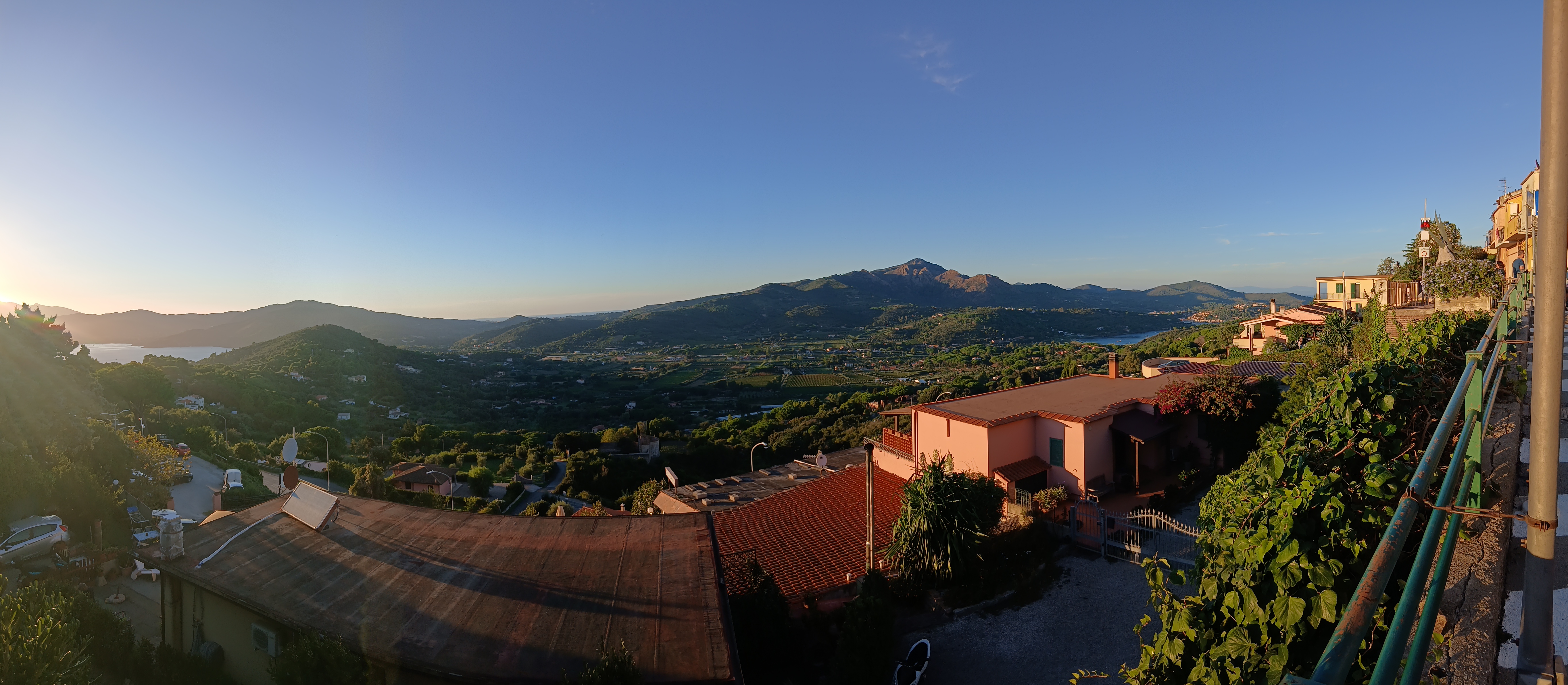
A medieval hill town at 167 meters on the eastern lobe of Elba, with 35 kilometers of coast and the iron mines of Monte Calamita below.
Piombino
Province: Livorno
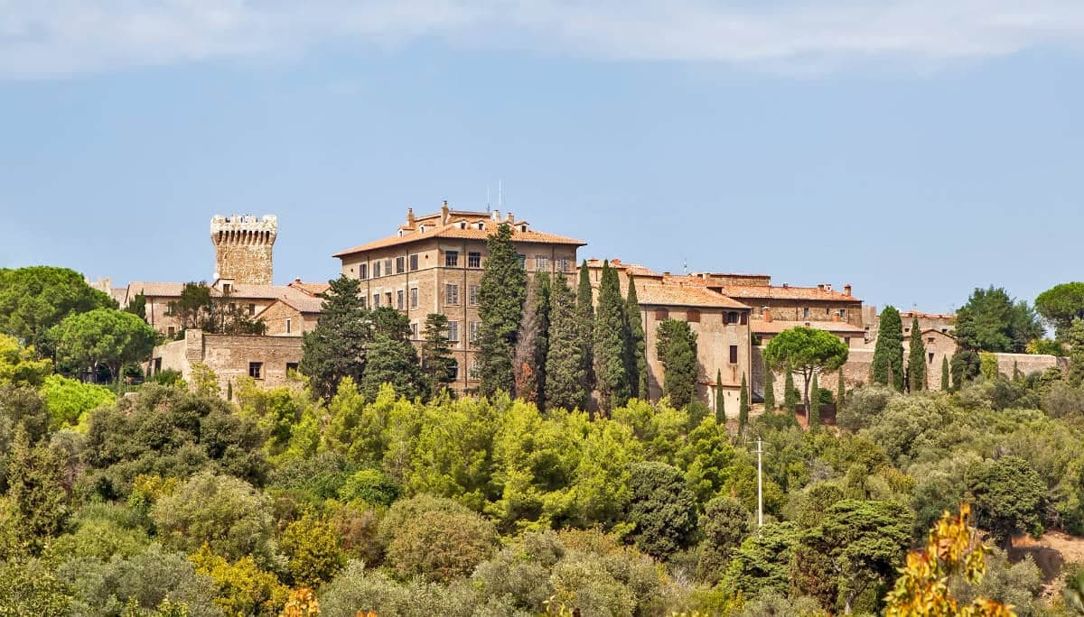
A promontory port facing Elba across the channel, founded by refugees from Etruscan Populonia and now the Tuscan archipelago's ferry capital.
Campiglia Marittima
Province: Livorno
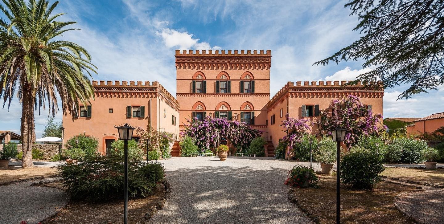
A walled hilltop borgo above the Val di Cornia, where the Rocca tower watches a mining landscape worked from the Etruscans to 1976.

Castagneto Carducci
Province: Livorno
A hilltop borgo at 194 meters above the Costa degli Etruschi, renamed for the poet Carducci in 1907 and the home of Bolgheri and Sassicaia.
Bibbona
Province: Livorno
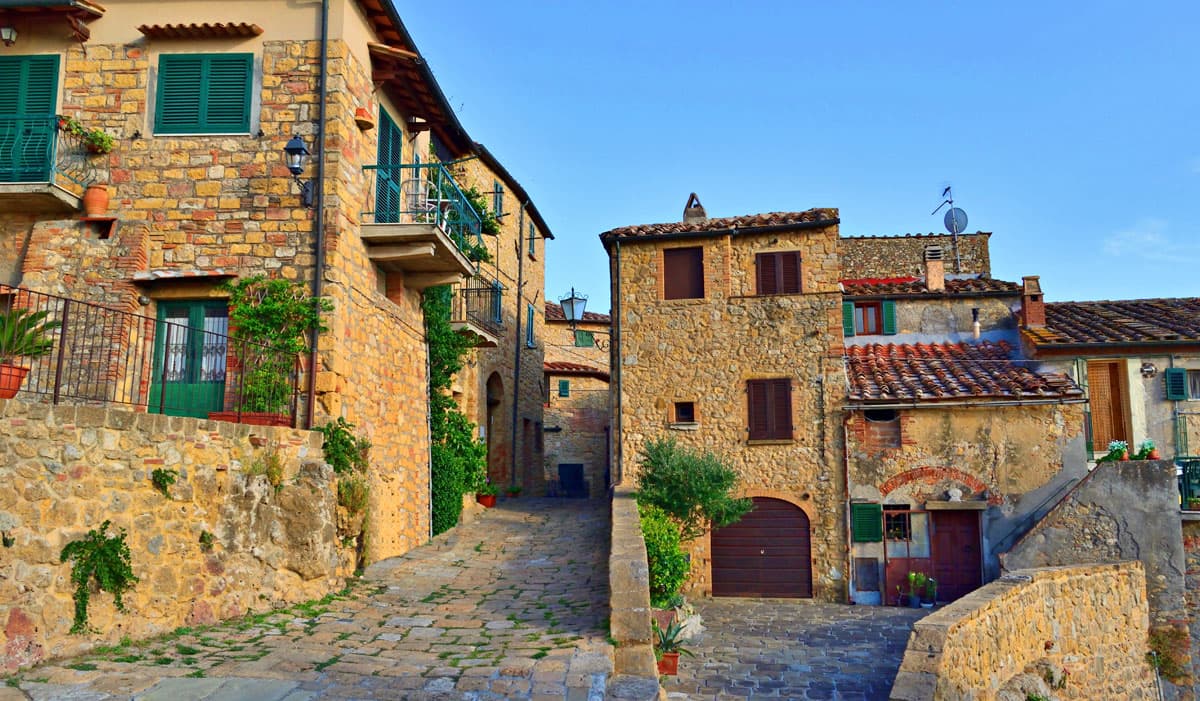
An Etruscan-origin hill village above the Costa degli Etruschi, with a Romanesque parish church and a Lorraine-built coastal fort eight kilometers down the road at Marina di Bibbona.
🌲 Parco Nazionale
More Parco Nazionale towns in Tuscany
Fivizzano
Province: Massa-Carrara
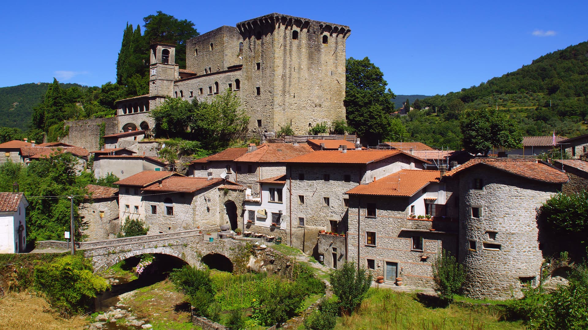
Don't come for Fivizzano-the-town — come for the frazioni: Equi Terme with its thermal grotto-and-cave complex, Verrucola's intact Malaspina fortress, Gassano's mountain panorama, and a 264 km² Lunigiana commune covering 92 hamlets inside the Parco Nazionale dell'Appennino Tosco-Emiliano.
Grosseto
Province: Grosseto
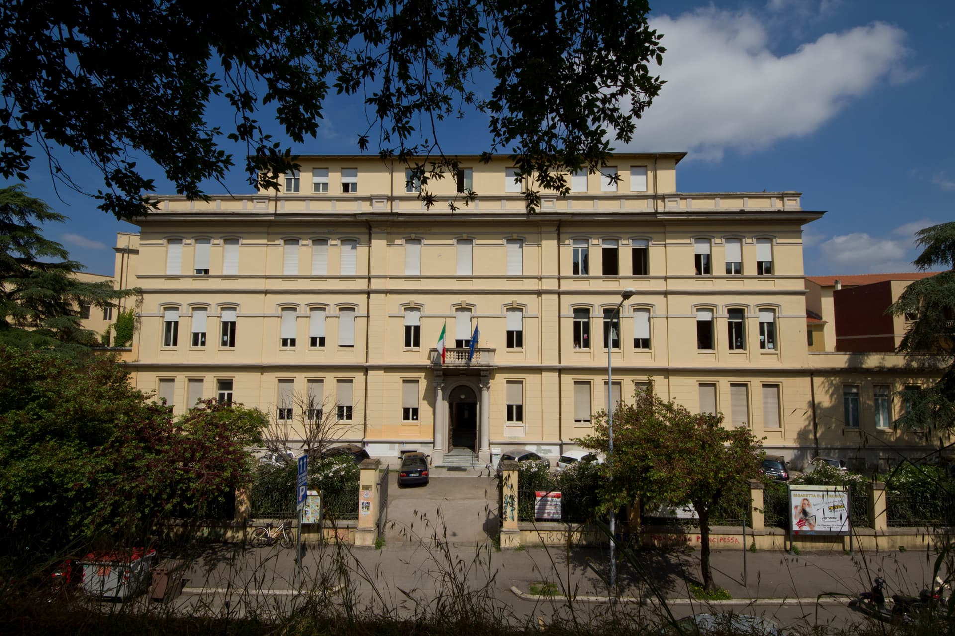
The Maremma capital on the Ombrone river, ringed by hexagonal Medici walls of 1564 that now serve as the city's public park.
Isola del Giglio
Province: Grosseto
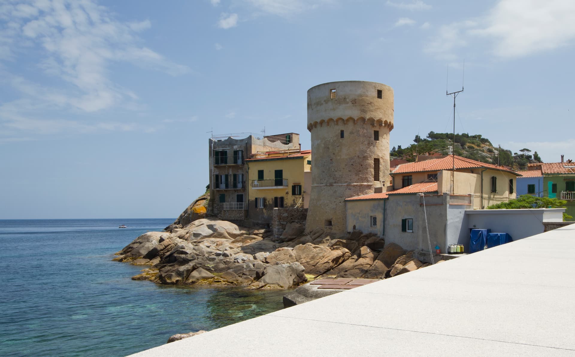
A granite island in the Tyrrhenian Archipelago, walled village on the ridge, port below, where the Costa Concordia ran aground in January 2012.
Licciana Nardi
Province: Massa-Carrara
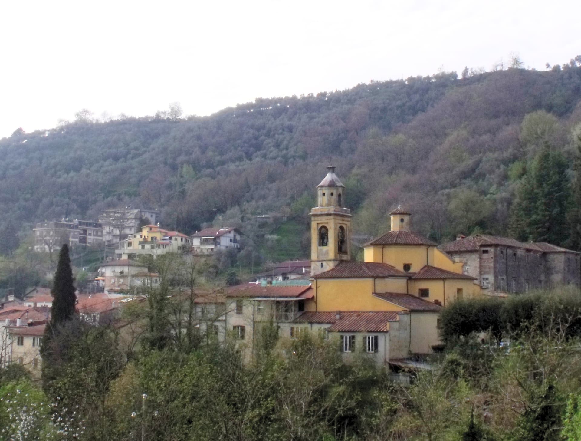
A Lunigiana Malaspina village at 215 meters in the Apennine Tosco-Emiliano park, named in 1933 for the Risorgimento patriot Anacarsi Nardi.
Livorno
Province: Livorno
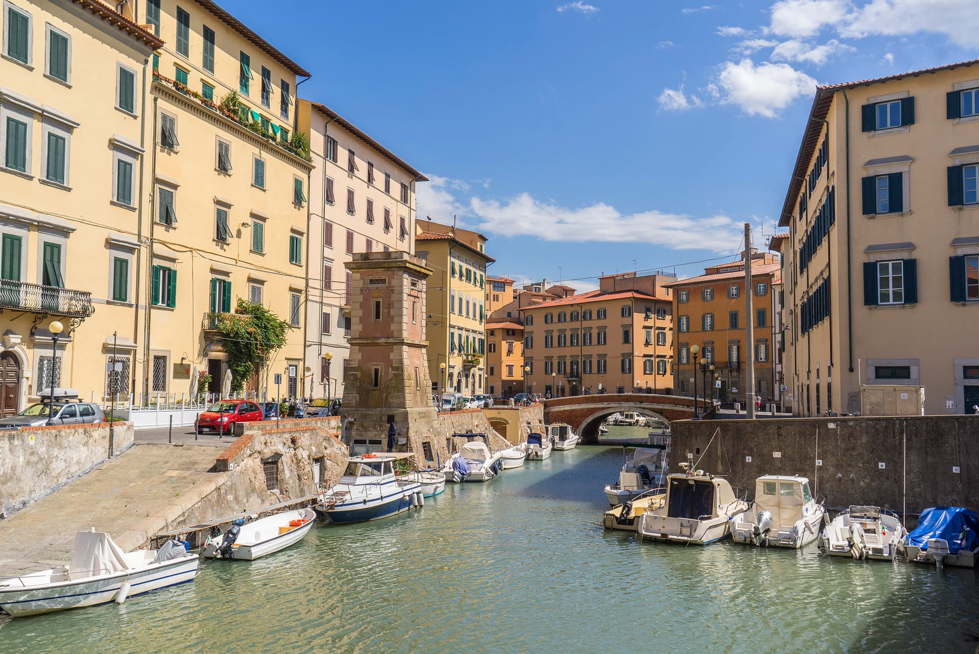
Tuscany's working port and Medici-planned 'New City' — a 16th-century planned town built on reclaimed coast, with a Venice-like canal quarter, the Quattro Mori monument, and a 1.5-km seafront promenade that locals call the world's most beautiful balcony.