

Tuscany · Grosseto
Isola del Giglio
A granite island in the Tyrrhenian Archipelago, walled village on the ridge, port below, where the Costa Concordia ran aground in January 2012.
Known for
COSTA CONCORDIA
Cruise ship grounded off Giglio Porto on 13 January 2012, killing thirty-two; refloated and towed to Genoa in July 2014.
GIGLIO CASTELLO
Walled ridge village at around 405 meters, the medieval and administrative center of the island under successive Pisan, Piccolomini and Medici rule.
ANSONACO
Local white wine, Ansonica from the Costa dell'Argentario DOC, grown on terraced granite slopes that ring the island.
When to visit
Best · May–Sep
- J
- F
- M
- A
- M
- J
- J
- A
- S
- O
- N
- D
- Best
- Hot or crowded
- Quiet
- Mostly closed
The festa: Mamiliano di Palermo, 15 September
Why come
Isola del Giglio is the second-largest island in the Tuscan Archipelago, almost entirely granite, the highest point at Poggio della Pagana 496 meters above the sea. The commune has three inhabited frazioni: Giglio Porto on the eastern coast, where the ferries from Porto Santo Stefano dock; Giglio Castello on the central ridge at around 405 meters, the walled medieval village and administrative center; and Giglio Campese on the western bay, a 1960s seaside resort built on an old pyrite mine closed in 1964. Charlemagne gave the island to the abbey of Tre Fontane in 805.
It was Pisan from 1264, ceded to Antonio Piccolomini in the fifteenth century, then passed to the Medici in 1558. Saracen raids continued until 1799. The wreck of the Costa Concordia on the night of 13 January 2012 killed thirty-two people and held the world's attention until the ship was righted, refloated and towed to Genoa in July 2014.
The Sunday letter
We haven’t written Isola del Giglio’s letter yet.
One town every Sunday, with the photo, the food, the festa. Be there when this one comes up. Free, by Peter & Sophia from Pietrasanta.
By subscribing you agree to Substack’s Terms of Use, our Privacy Policy and our Information collection notice.
What to see
Giglio Castello
Walled medieval village on the ridge at around 405 meters, with intact mura and the Rocca Aldobrandesca, the administrative center of the island.
Giglio Porto
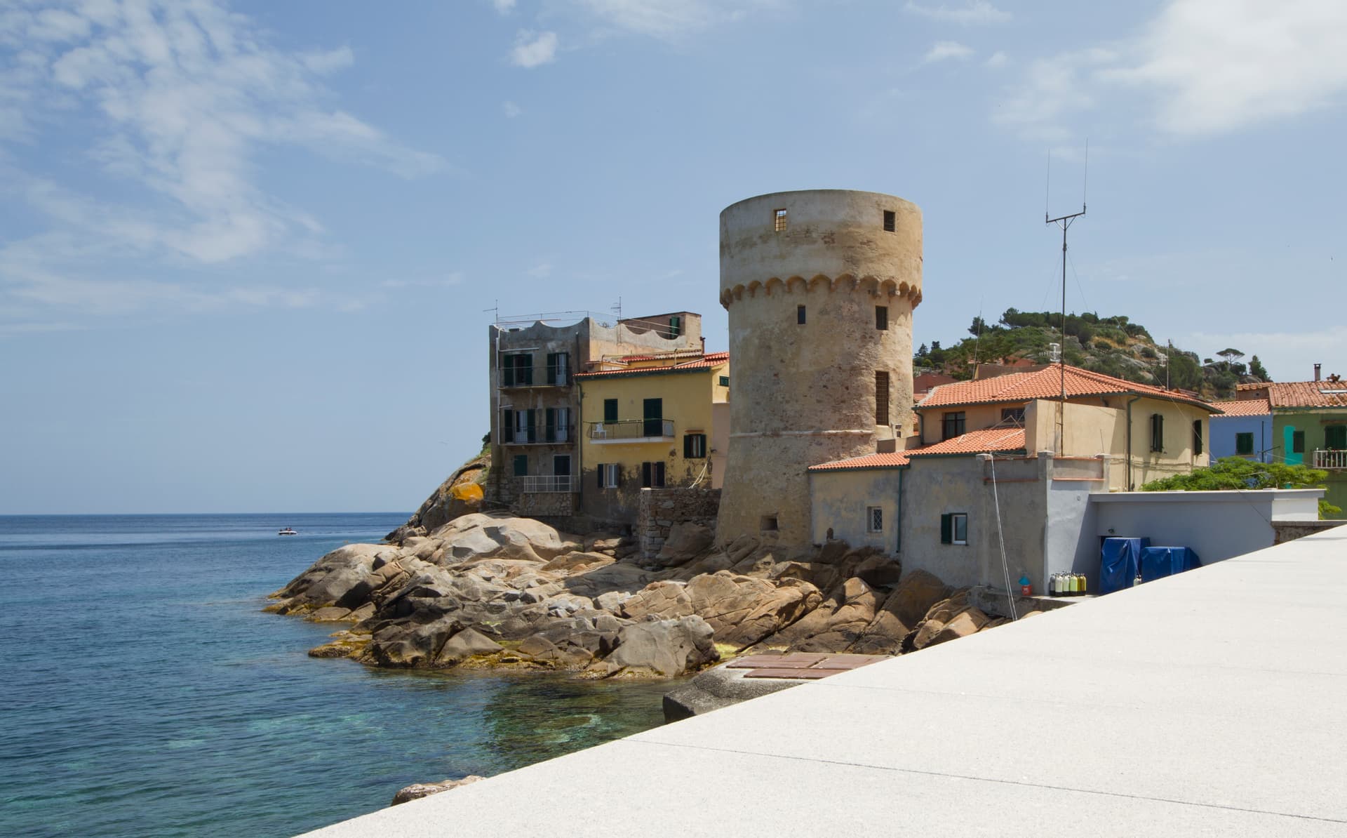
Main harbor of the island on the east coast, with the colored houses around the small ferry dock and the lighthouse of Capel Rosso to the south.
Giglio Campese
Largest bay and sandy beach of the island on the west coast, with the medieval Torre del Campese and the disused pyrite mine on the headland.
Poggio della Pagana
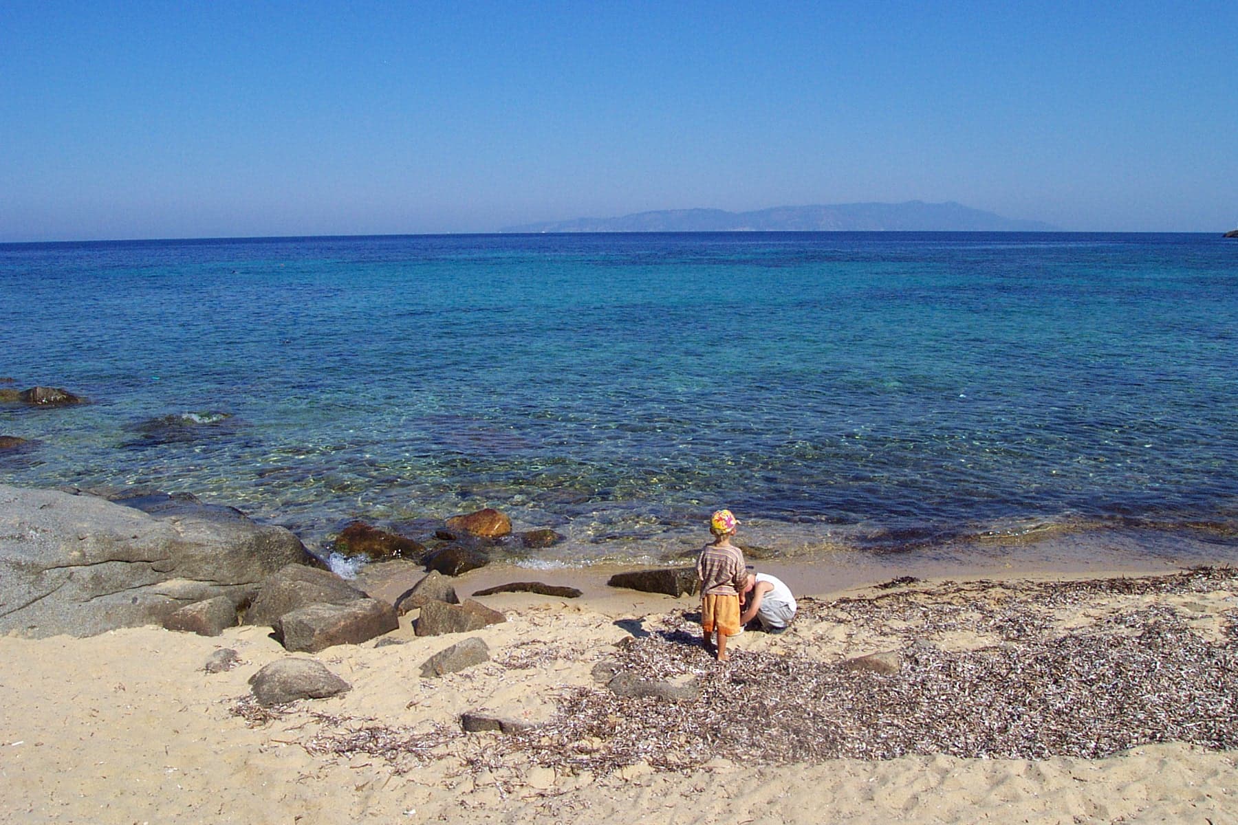
Highest point of the island at 496 meters, granite ridge with a panorama from Argentario to Elba and across to Giannutri to the southeast.
Parco Nazionale Arcipelago Toscano
Protected park covering most of the island and the surrounding waters, with marked trails across the granite spine and the macchia mediterranea.
The slow-trip planner
Building a trip? Find where Isola del Giglio fits in a slow Italy circuit.
Answer five questions. We will shape a geographically coherent slow trip from the 1,000 Italian towns most travelers skip. Yours to save and share.
Living here
- Population 1,330
- Very remotei
- Pharmacy in town
- Nearest high school over ~30 minutes away
- Regional capital Firenze, 3 h 57 min drive
Tags & datadesignations · numbers · sources
Recognised as
The numbers
- Elevation: 405 m
- Population: 1,330
- Surface area: 24.01 km²
On the map
These figures were compiled from public directories — ISTAT, OpenStreetMap, Wikidata — and from the official listings of the guides named on this page. Town details change; verify with official sources before you travel.
Close by
More towns near Isola del Giglio
Monte Argentario
Province: Grosseto
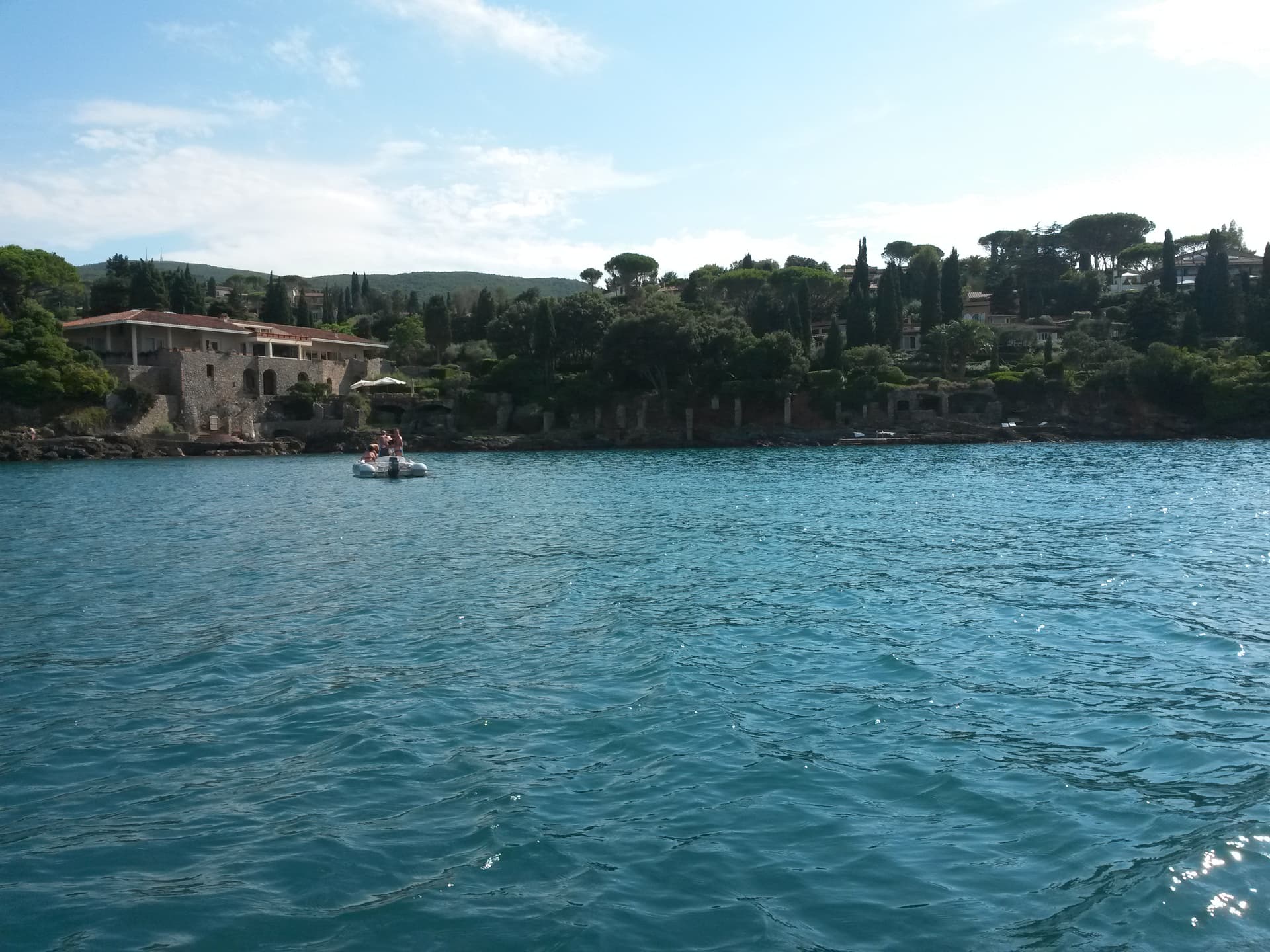
A 635-meter peninsula tied to the mainland by three sand spits, ringed by Spanish forts and the place where Caravaggio died in 1610.
Orbetello
Province: Grosseto
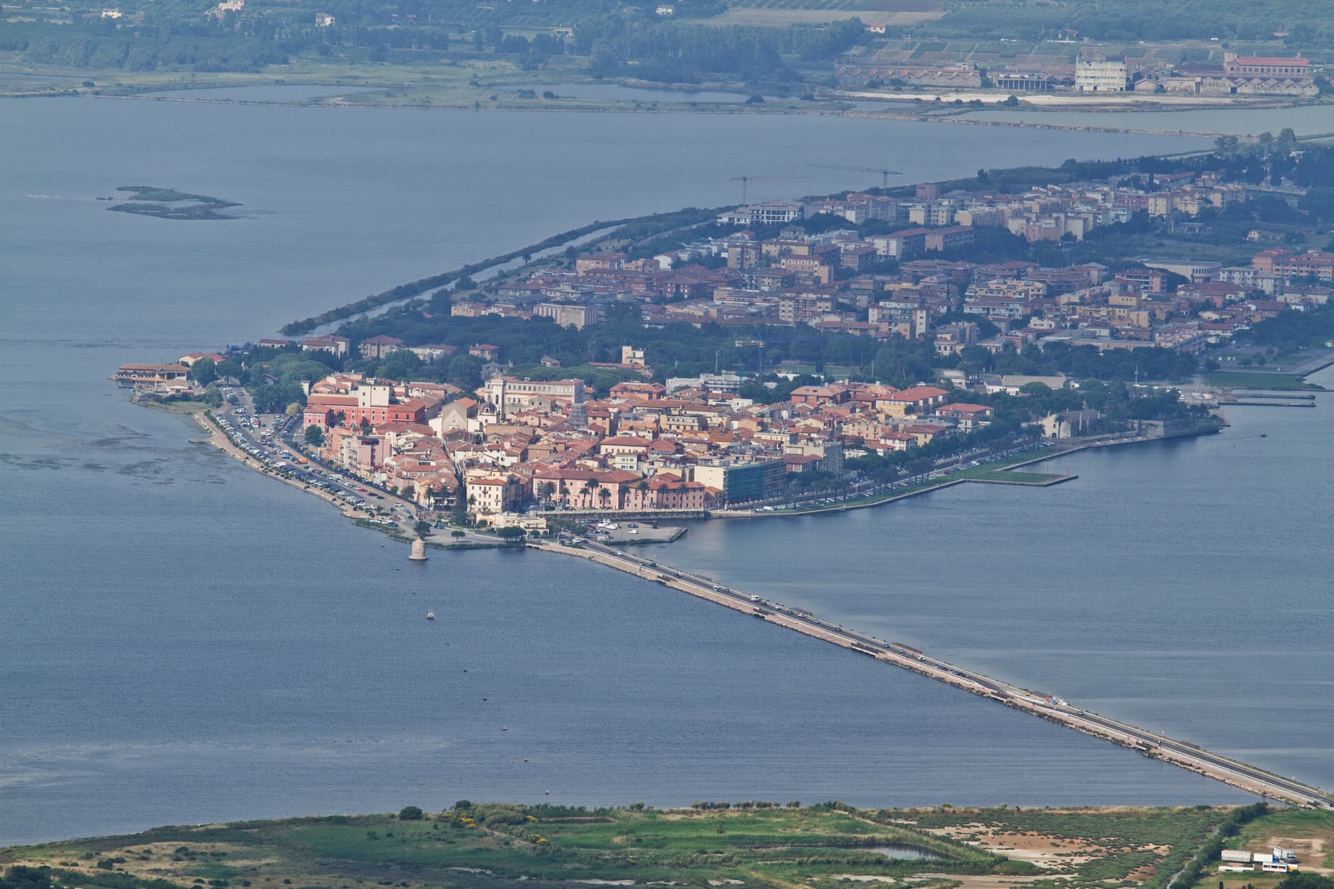
A town on a narrow isthmus at the center of its own lagoon, fortified by Spain in 1557 and tied to Monte Argentario by two tombolos.
Capalbio
Province: Grosseto
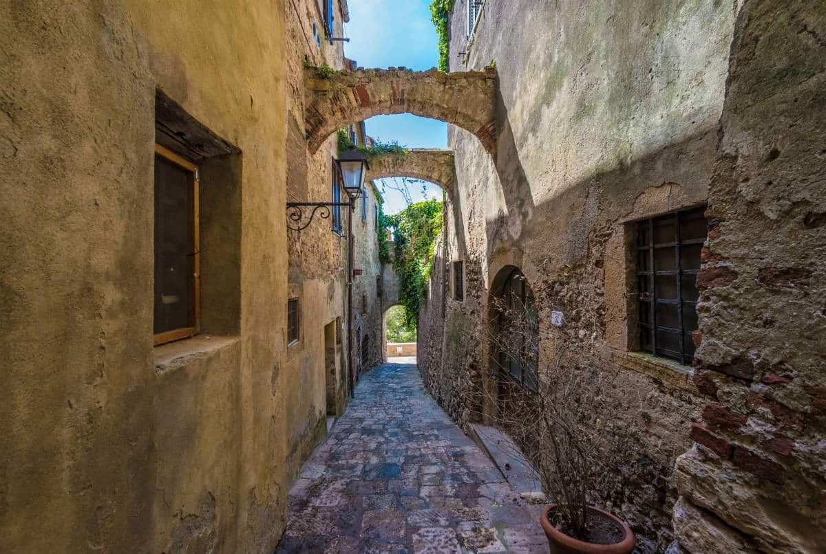
A walled hilltop borgo at 217 meters in the southern Maremma, donated to the Abbey of Tre Fontane by Charlemagne and home of Niki de Saint Phalle's Tarot Garden.
Grosseto
Province: Grosseto
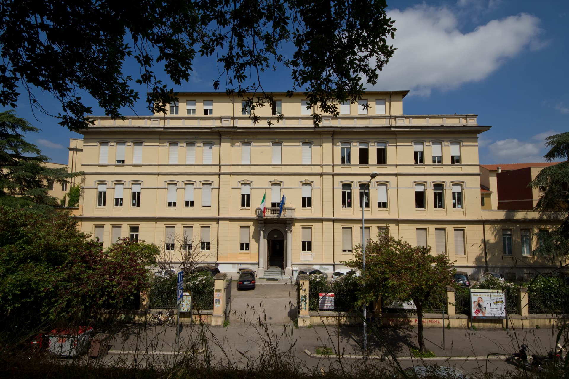
The Maremma capital on the Ombrone river, ringed by hexagonal Medici walls of 1564 that now serve as the city's public park.
Manciano
Province: Grosseto
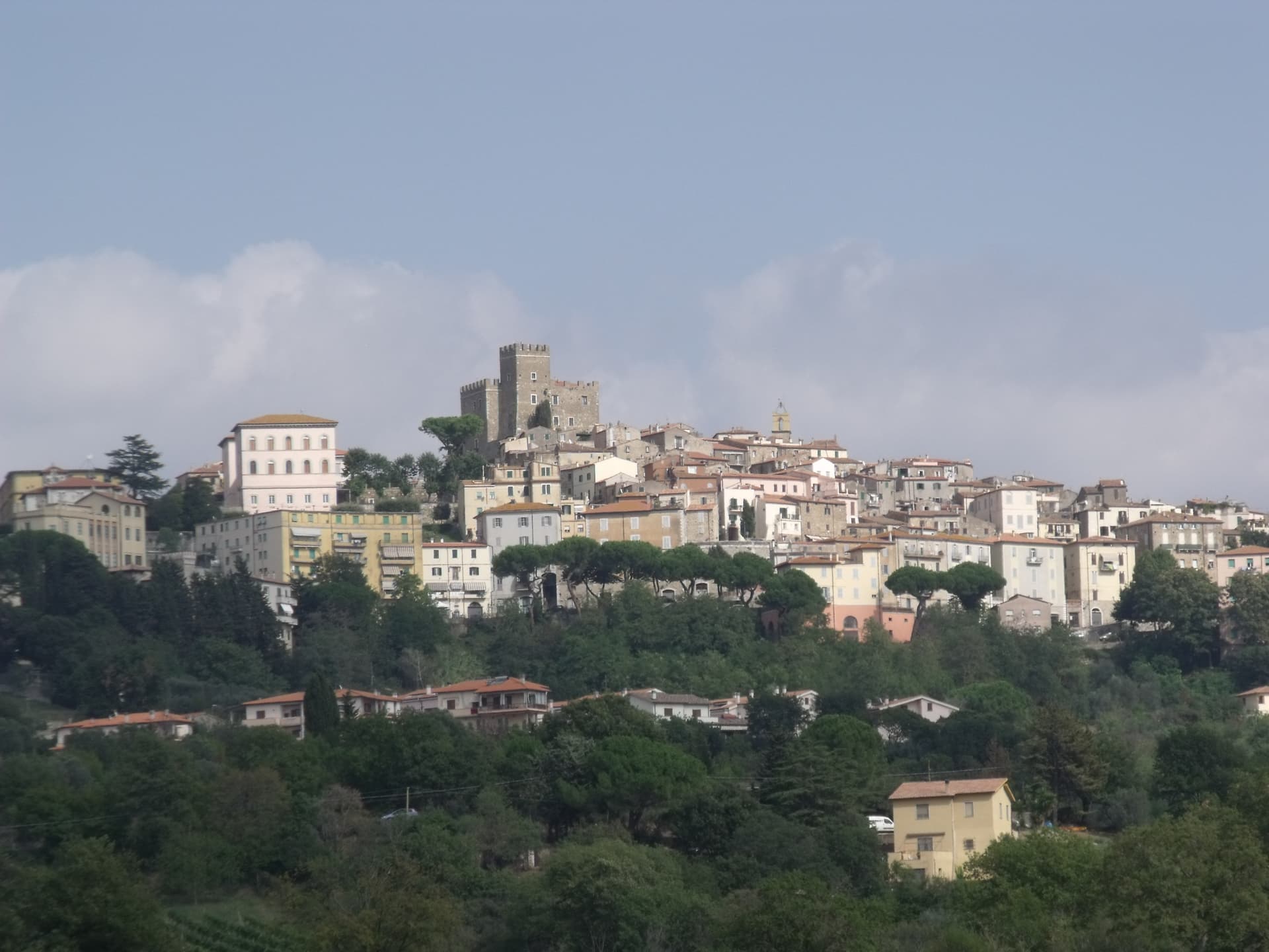
A market town at 444 meters in the southern Maremma, with a Sienese fortress of 1424 and the thermal frazione of Saturnia in its territory.
🎨 Borghi più belli d'Italia
More Borghi più belli d'Italia towns in Tuscany
Anghiari
Province: Arezzo
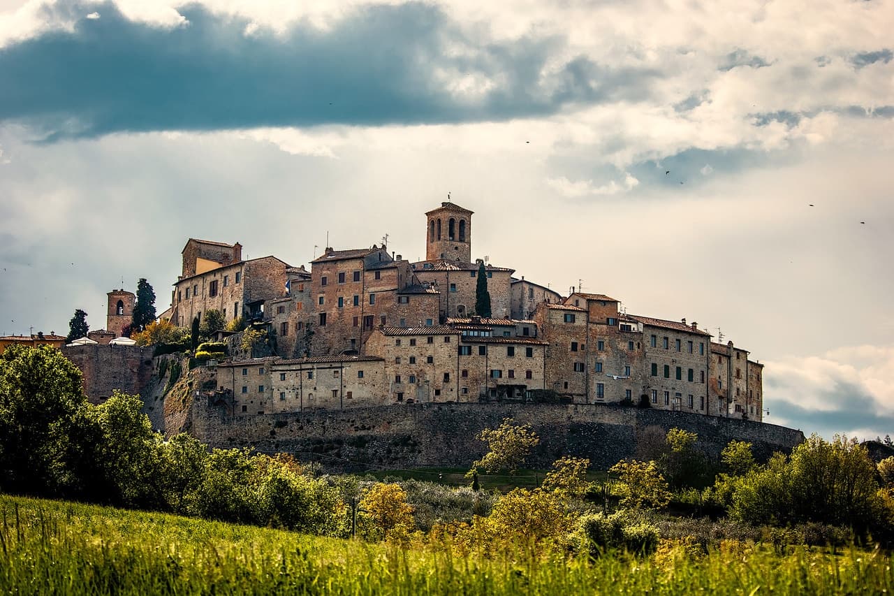
A walled medieval town at 430 meters over the upper Tiber valley, where Florence beat Milan in 1440 and Leonardo started the fresco he never finished.
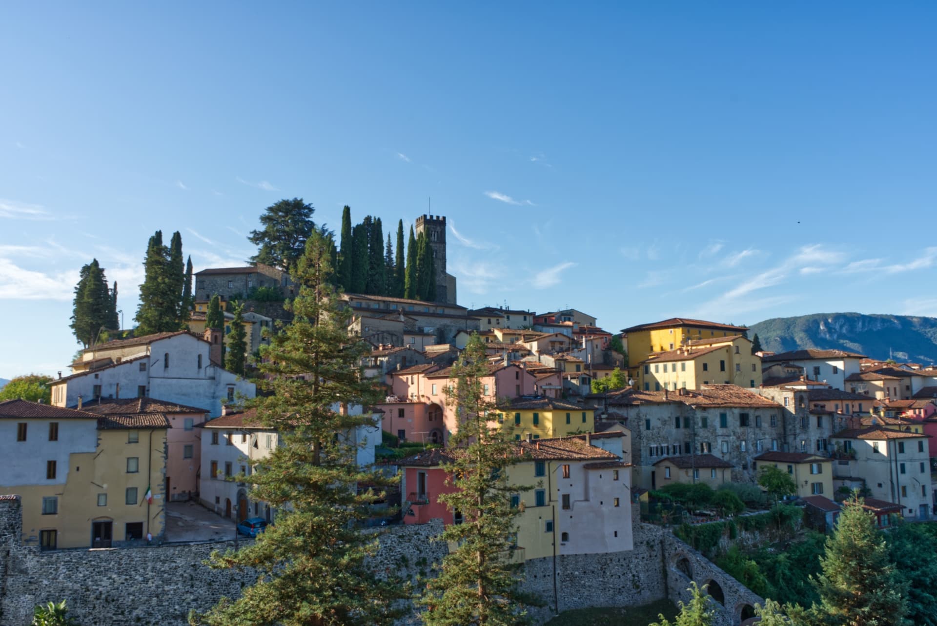
Barga
Province: Lucca
A medieval hilltop town at 410 meters in the Serchio valley between the Apuan Alps and the Apennines, where Giovanni Pascoli wrote his last poems and the August festival serves fish and chips.
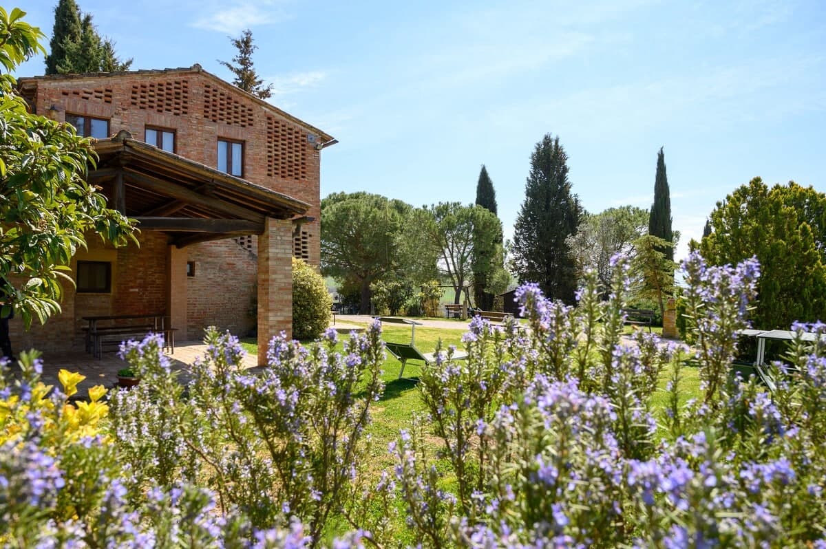
Buonconvento
Province: Siena
The walled brick borgo in the Crete Senesi where Emperor Henry VII died in 1313, on the Via Cassia at the confluence of the Arbia and Ombrone.
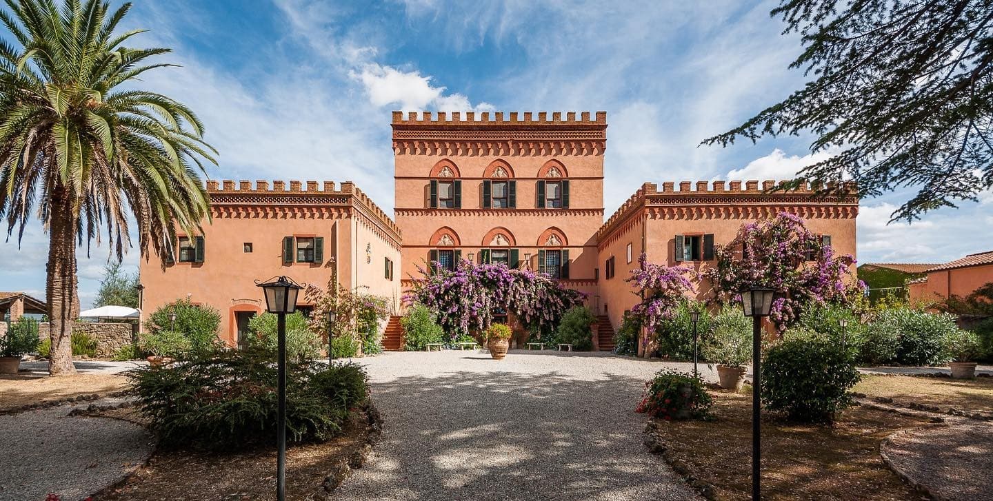
Campiglia Marittima
Province: Livorno
A walled hilltop borgo above the Val di Cornia, where the Rocca tower watches a mining landscape worked from the Etruscans to 1976.
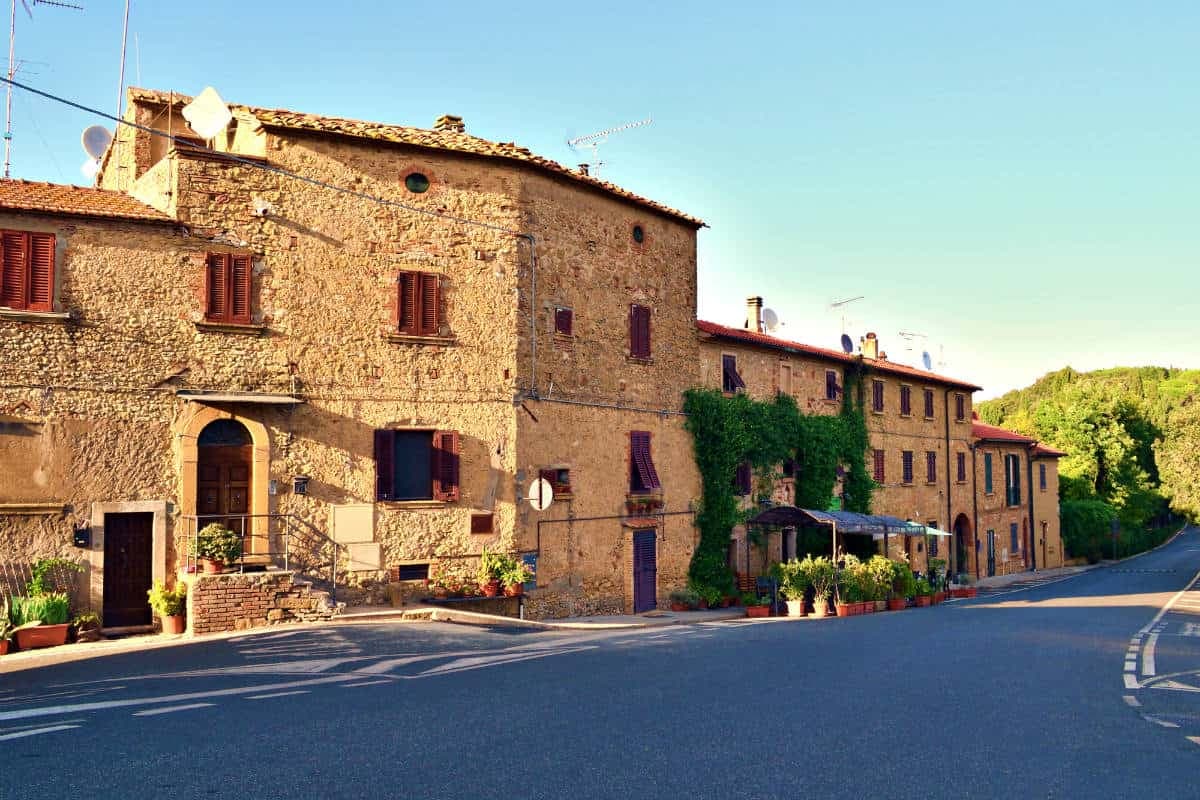
Casale Marittimo
Province: Pisa
A concentric stone borgo at 214 meters above the Val di Cecina, built where a seventh-century BC Etruscan outpost of Volterra once stood.