

Lazio · Rieti
Casperia
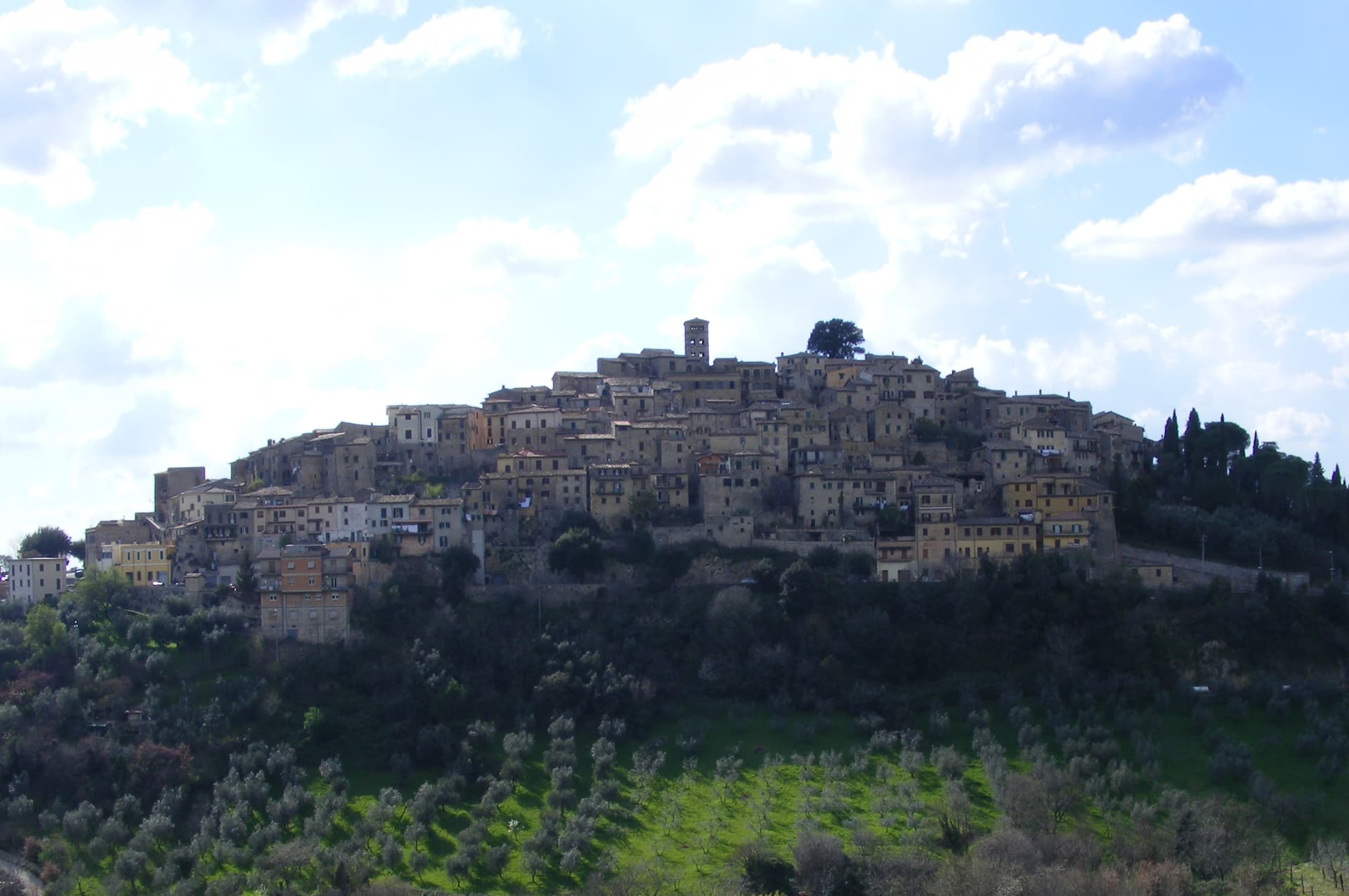
A Sabina hill village named Aspra in Virgil's Aeneid, called that until 1947, ringed by walls from 1282 and Sabina DOP olive groves below.
Known for
VIRGIL'S ASPRA
Named Aspra in Book VII of the Aeneid; kept the name until 1947, when it was renamed Casperia for an older Sabine site.
NO-CAR BORGO
Walled village from 1282, entered only on foot through the Porta Romana or the Porta Santa Maria.
SABINA DOP
First Italian olive oil protected-origin denomination, 1996; the groves around the village are part of the appellation.
When to visit
Best · Apr–Oct
- J
- F
- M
- A
- M
- J
- J
- A
- S
- O
- N
- D
- Best
- Hot or crowded
- Quiet
- Mostly closed
The festa: Giovanni Battista, 24 June
Why come
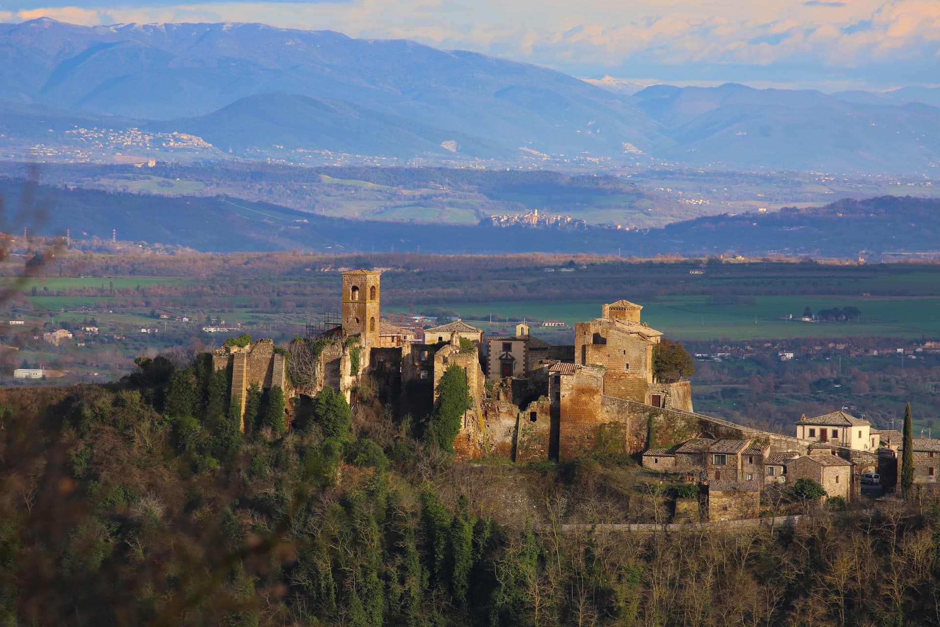
Casperia sits on the western slope of the Monti Sabini, fifty kilometers northeast of Rome. Virgil names it Aspra in Book VII of the Aeneid, in the catalogue of Italic peoples; the name held until 1947, when the town renamed itself Casperia for an older Sabine settlement nearby. The walls around the centro storico were built in 1282.
The village is closed to cars: it is entered on foot through the Porta Romana on the west side or the Porta Santa Maria on the east, and the lanes inside the walls are a near-pure example of medieval planning, concentric rings climbing to the parish church of San Giovanni Battista at the top. The countryside below produces Sabina DOP extra virgin olive oil, the first protected-origin olive oil in Italy, awarded in 1996. The 13th-century walls, the no-car village inside them, and the olive groves around it have made Casperia one of the better-restored Sabina hill towns.
The Sunday letter
We haven’t written Casperia’s letter yet.
One town every Sunday, with the photo, the food, the festa. Be there when this one comes up. Free, by Peter & Sophia from Pietrasanta.
By subscribing you agree to Substack’s Terms of Use, our Privacy Policy and our Information collection notice.
What to see
Centro storico
Walled medieval village from 1282, concentric lanes climbing to the parish church, no vehicles allowed inside the walls.
Chiesa di San Giovanni Battista
Parish church on the highest point of the village, baroque interior on medieval foundations, with works by Vincenzo Manenti.
Porta Romana
Western gate of the medieval wall circuit, the main entry point on foot from the lower road.
Porta Santa Maria
Eastern gate of the 1282 walls, the second entry point on foot from the valley side.
Sabina DOP olive groves
Olive groves surrounding the village in the localities of Paranzano, Santa Maria in Legarano and San Vito; first Italian olive oil DOP, 1996.
The slow-trip planner
Building a trip? Find where Casperia fits in a slow Italy circuit.
Answer five questions. We will shape a geographically coherent slow trip from the 1,000 Italian towns most travelers skip. Yours to save and share.
Living here
- Population 1,178
- Off the beaten pathi
- Pharmacy: none mapped
- High school within a 30-minute drive
- Nearest airport Rome, 1 h 39 min drive
- Regional capital Roma, 1 h 4 min drive
Tags & datadesignations · numbers · sources
Recognised as
The numbers
- Elevation: 397 m
- Population: 1,178
- Surface area: 25.31 km²
These figures were compiled from public directories — ISTAT, OpenStreetMap, Wikidata — and from the official listings of the guides named on this page. Town details change; verify with official sources before you travel.
Featured on
Casperia appears on this themed pick from our Collections:
Close by
More towns near Casperia
Magliano Sabina
Province: Rieti
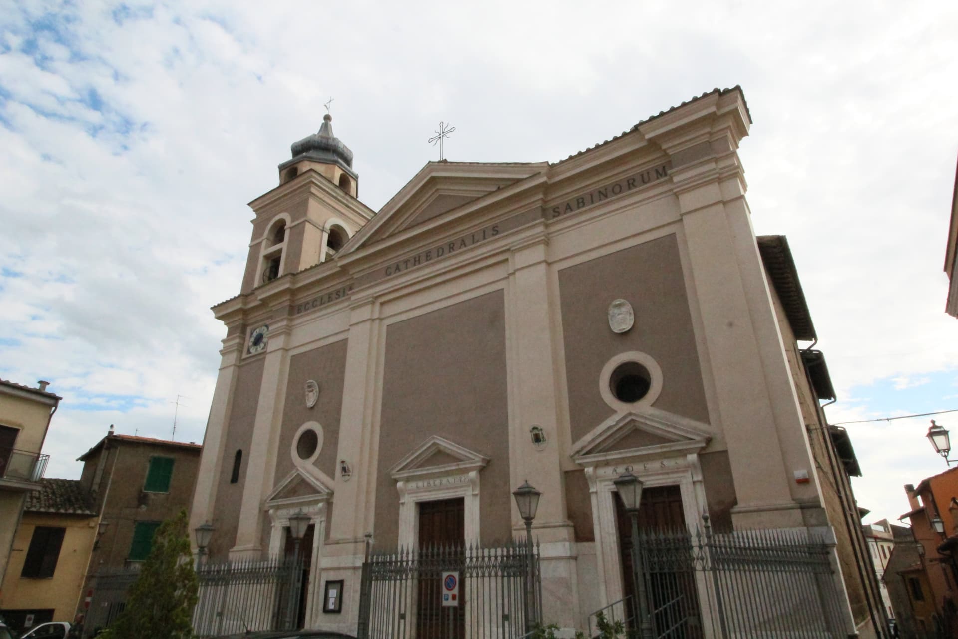
A 222-meter Sabine town on a Tiber terrace facing Monte Soratte, cathedral seat of the Sabina diocese on the Lazio-Umbria border.
Greccio
Province: Rieti
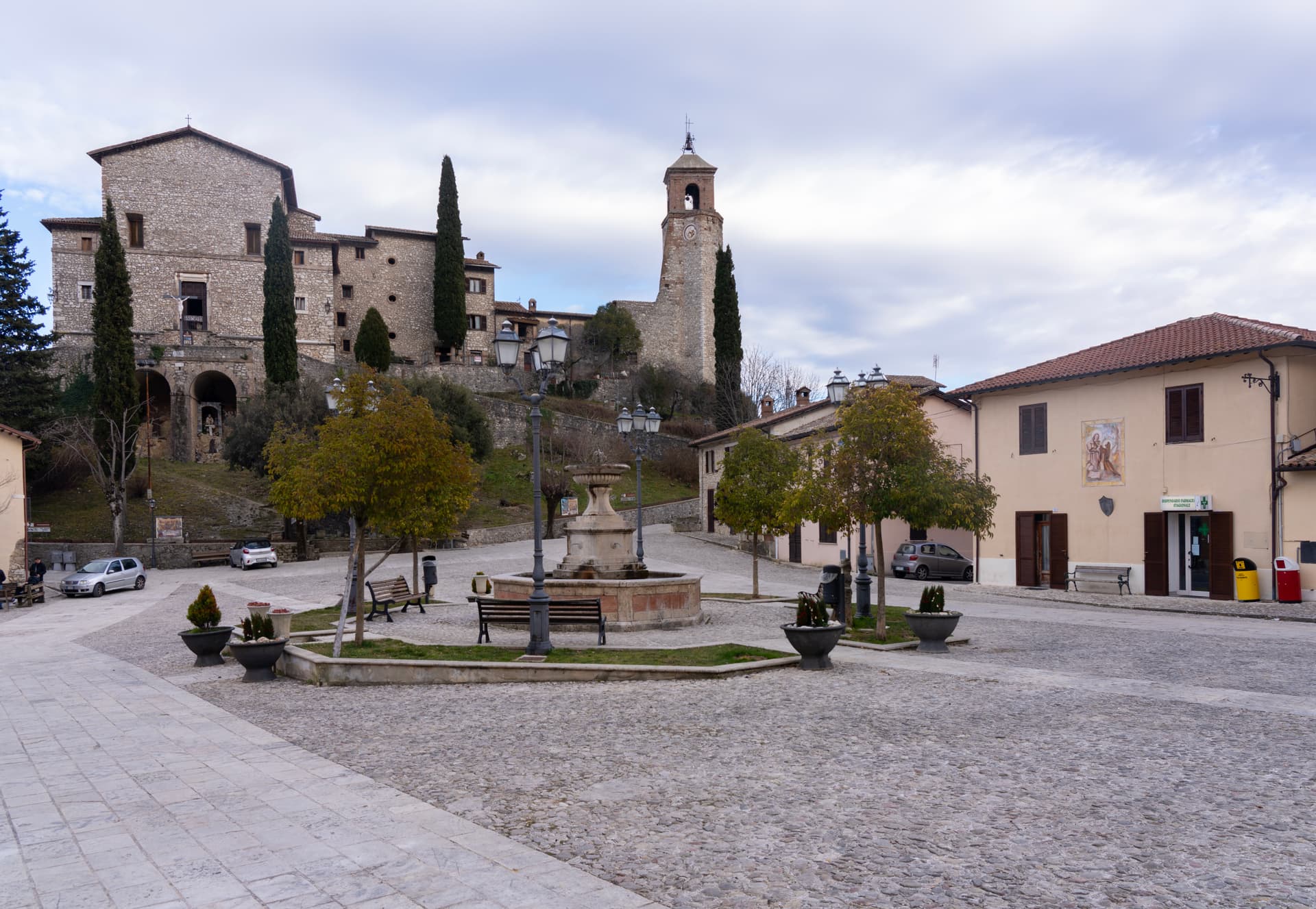
A 705-meter borgo above the Rieti valley where Francis of Assisi staged the first living nativity scene in a cliff cave on Christmas Eve 1223.
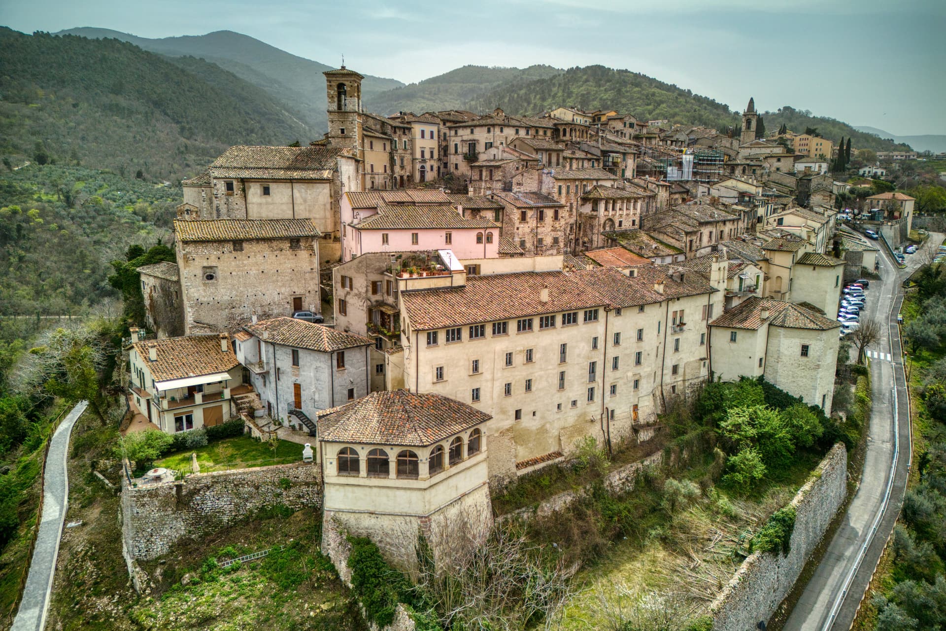
Stroncone
Province: Terni
A walled medieval borgo at 451 meters eight kilometers south of Terni, with a Franciscan convent traditionally founded by Francis himself in 1213.
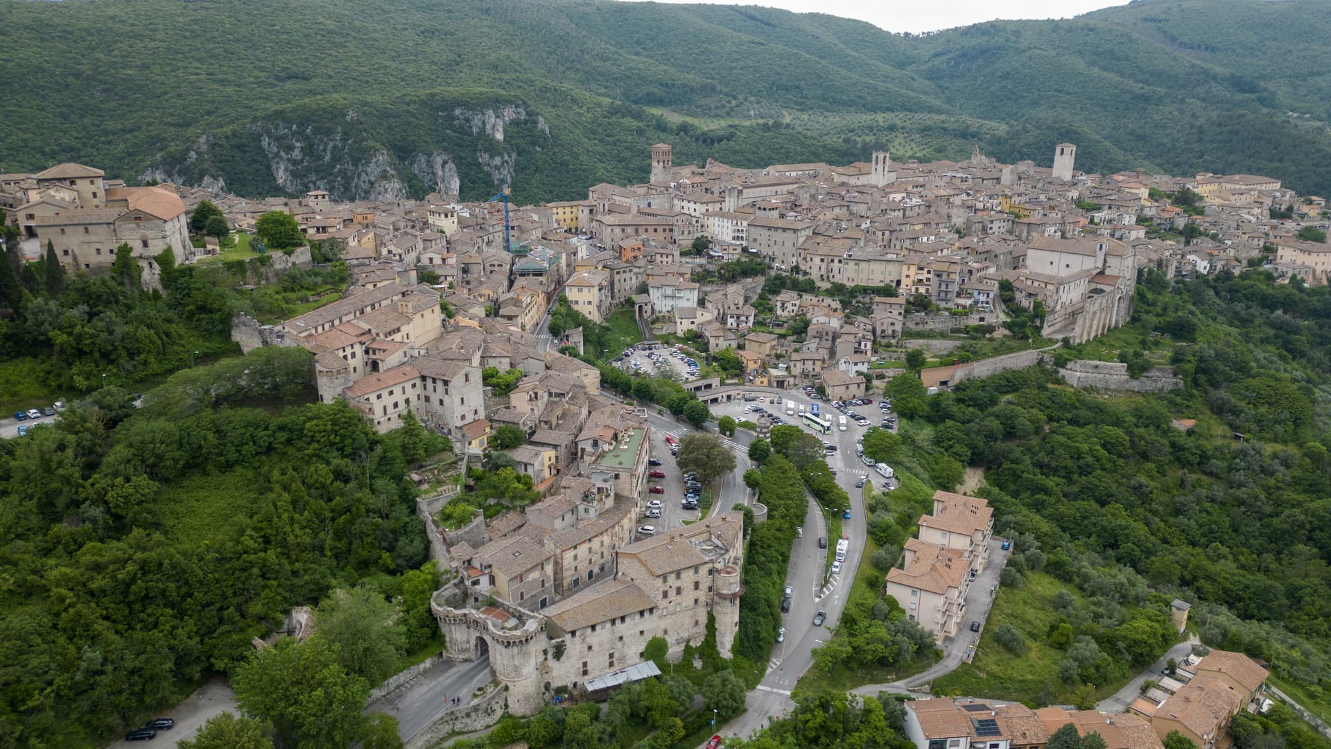
Narni
Province: Terni
Italy's geographical centre and the etymological 'Narnia' — a 17,900-resident hilltop town on a travertine outcrop above the Nera valley, with the Rocca Albornoz papal fortress, a 30m Roman arch of the Ponte d'Augusto, a hidden underground complex containing a 13th-c Inquisition cell with original prisoner graffiti, and the documented Latin name (Narnia) that C.S. Lewis lifted for his fictional kingdom.
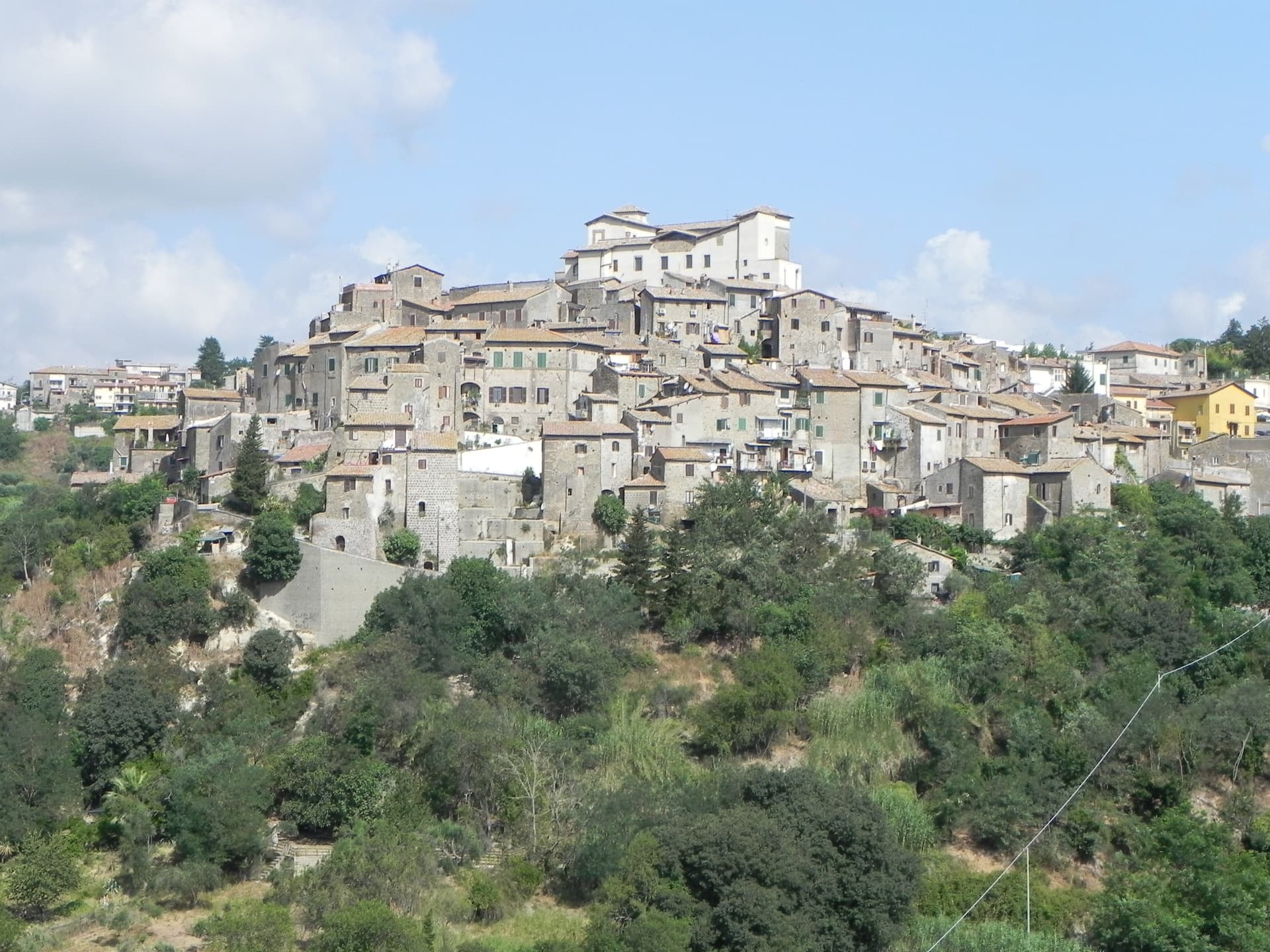
Castelnuovo di Porto
Province: Roma
A tufa-ridge borgo twenty-five kilometers north of Rome inside the Parco di Veio, dominated by the Rocca Colonna above the Tiber valley.
🟠 Bandiera Arancione
More Bandiera Arancione towns in Lazio
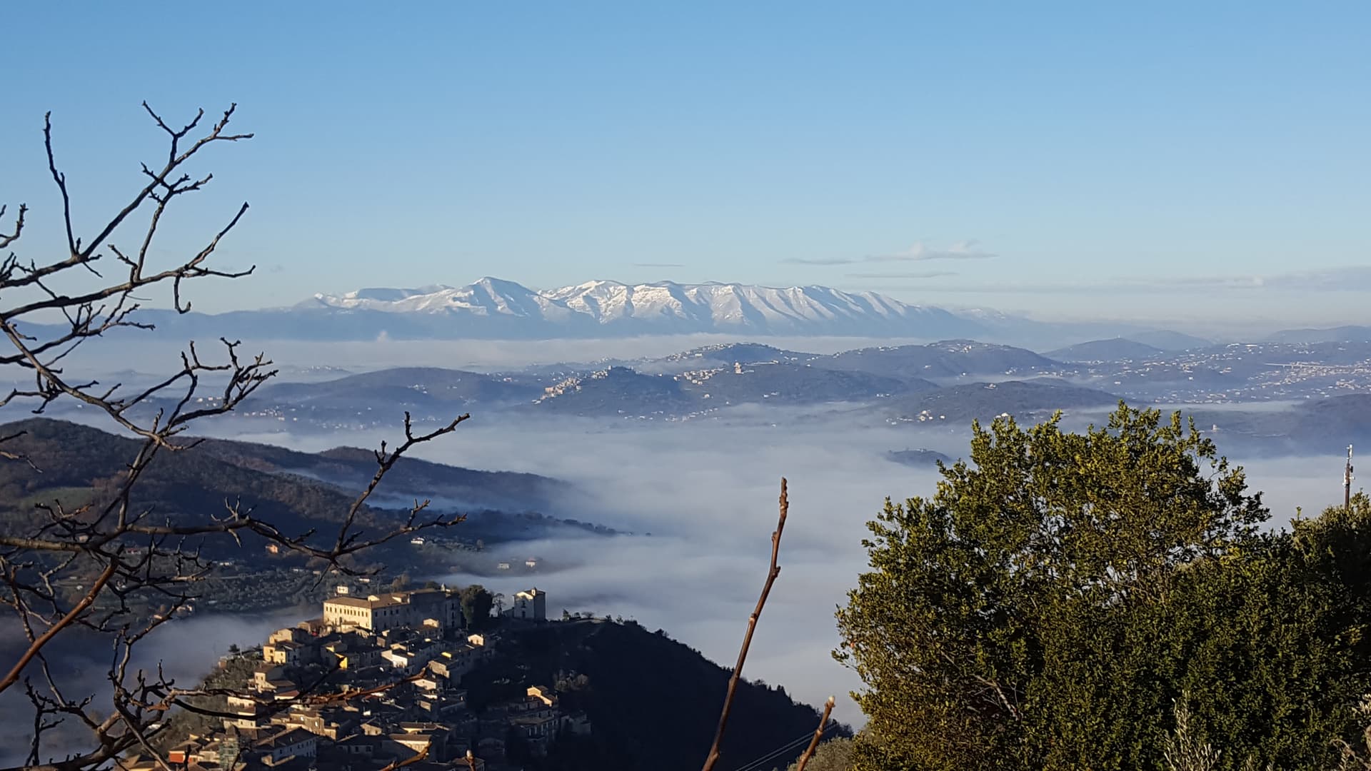
Arpino
Province: Frosinone
The Volscian-Roman hill town in the Liri valley that produced Marius and Cicero, with a pre-Roman acropolis above the modern center.
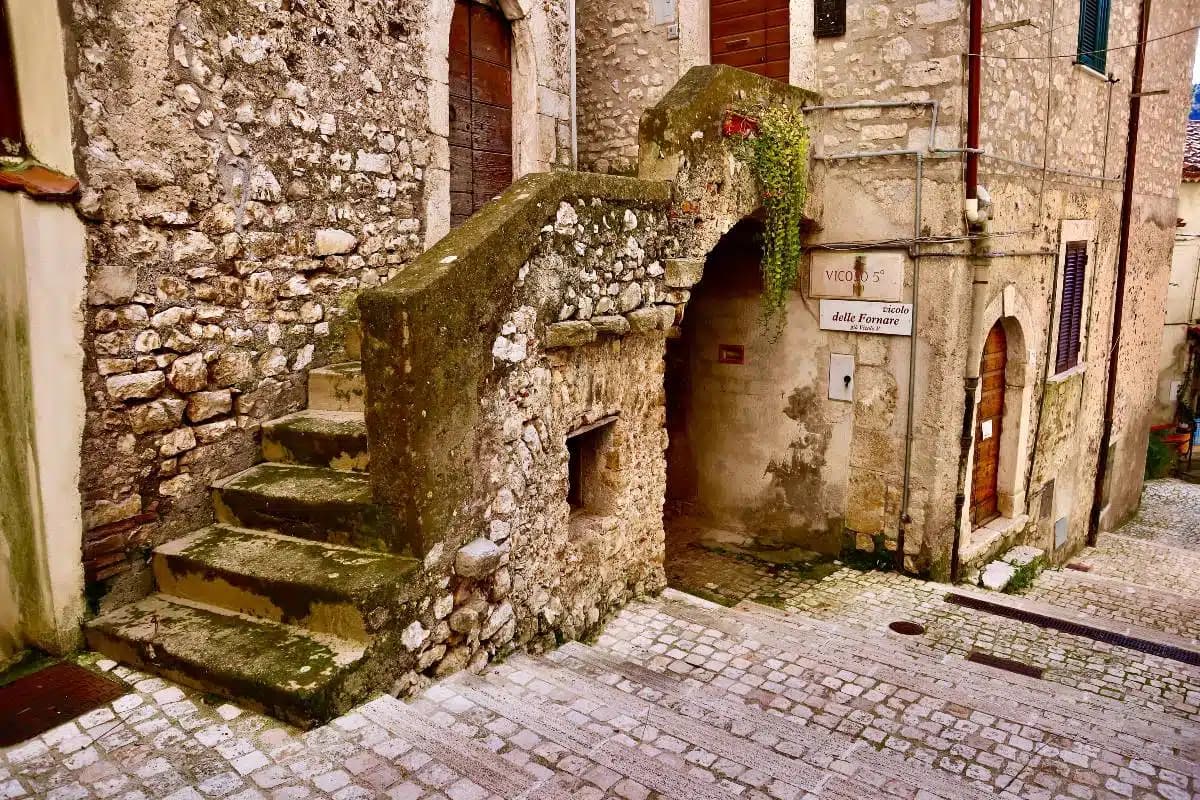
Bassiano
Province: Latina
The highest village in the province of Latina at 562 meters, birthplace of Aldo Manuzio, who shrank the book to pocket size.
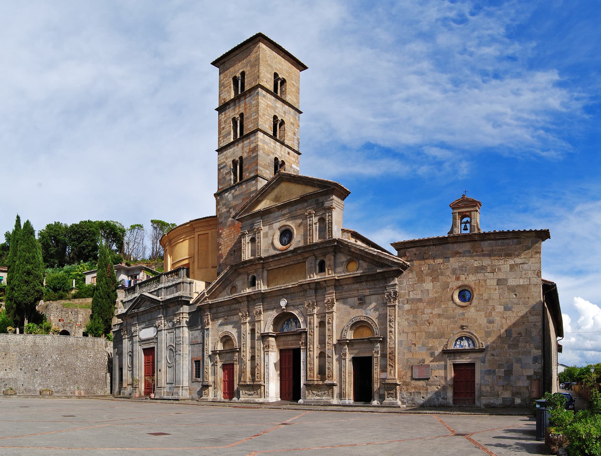
Bolsena
Province: Viterbo
A medieval town at 350 meters on the eastern shore of Europe's largest volcanic lake, where a Bohemian priest reported a Eucharistic miracle in 1263.
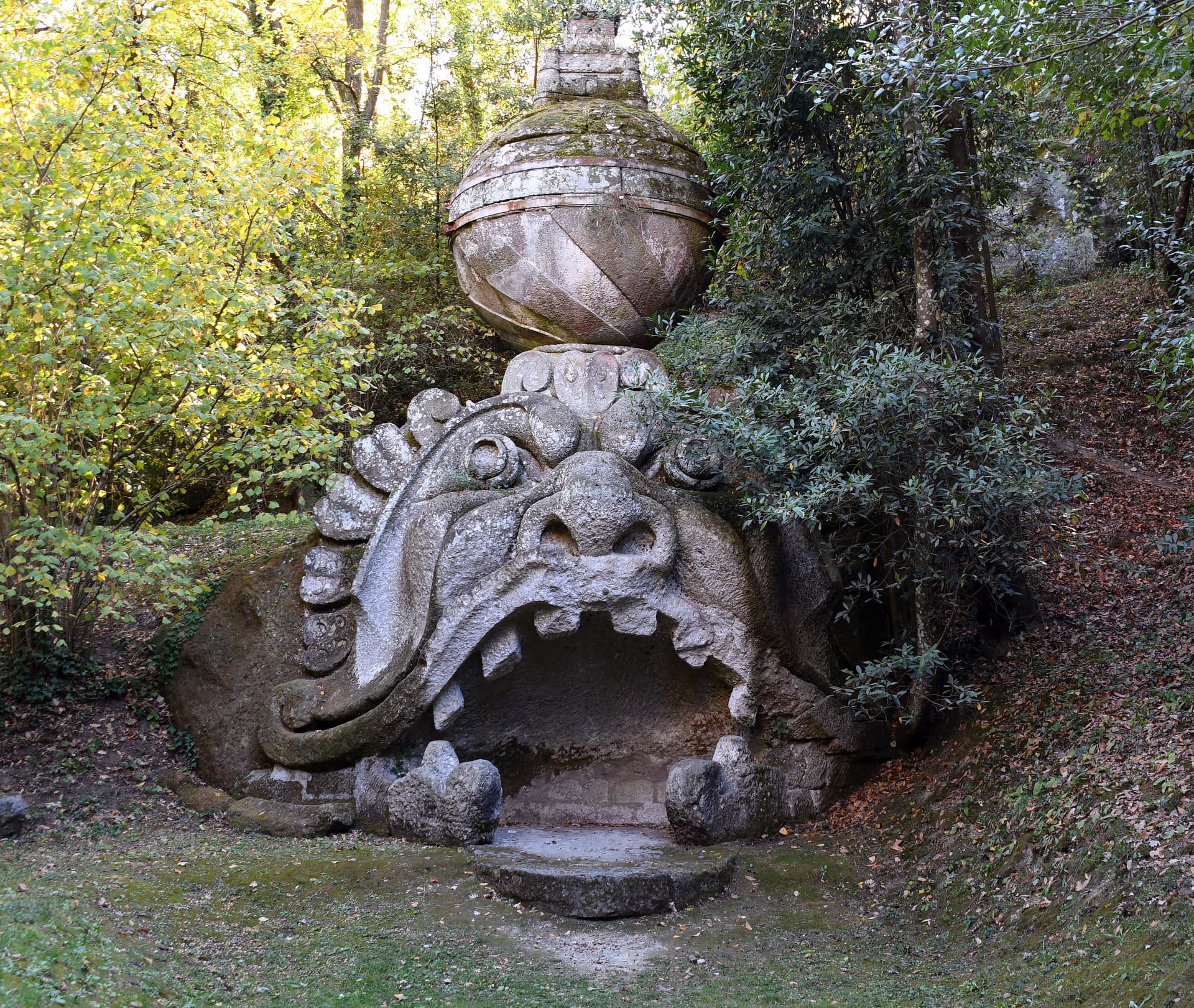
Bomarzo
Province: Viterbo
The Tuscia village below the Sacro Bosco, the 16th-century stone-monster garden built by a grieving condottiero for his dead wife.
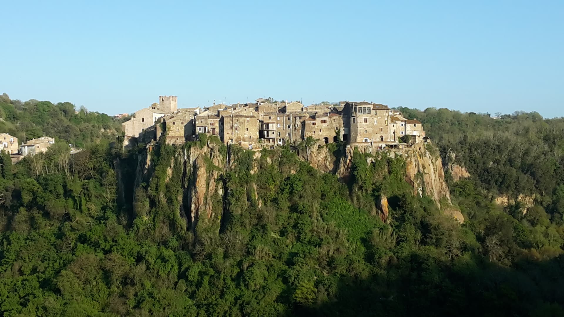
Calcata
Province: Viterbo
A tufa-cliff village forty kilometers north of Rome, condemned and abandoned in the 1930s, then occupied by artists and never left.