
Abruzzo · L'Aquila
Rocca di Botte
At 750 meters on the Carseolani slopes between Abruzzo and Lazio, the birthplace of an eleventh-century hermit and a fief of the Colonna.
Known for
SAN PIETRO EREMITA
Birthplace of the eleventh-century hermit Pietro of Trevi, who refused an arranged marriage and died near Trevi nel Lazio in 1052.
COLONNA FIEF
Granted to the Roman Colonna family in 1496 by Ferdinand II of Naples, the village stayed under their lordship for centuries.
CARSEOLANI
Sits on the wooded northern flank of the Carseolani range at the Lazio-Abruzzo border, on the edge of the Simbruini mountains.
When to visit
Best · May–Oct
- J
- F
- M
- A
- M
- J
- J
- A
- S
- O
- N
- D
- Best
- Hot or crowded
- Quiet
- Mostly closed
Why come
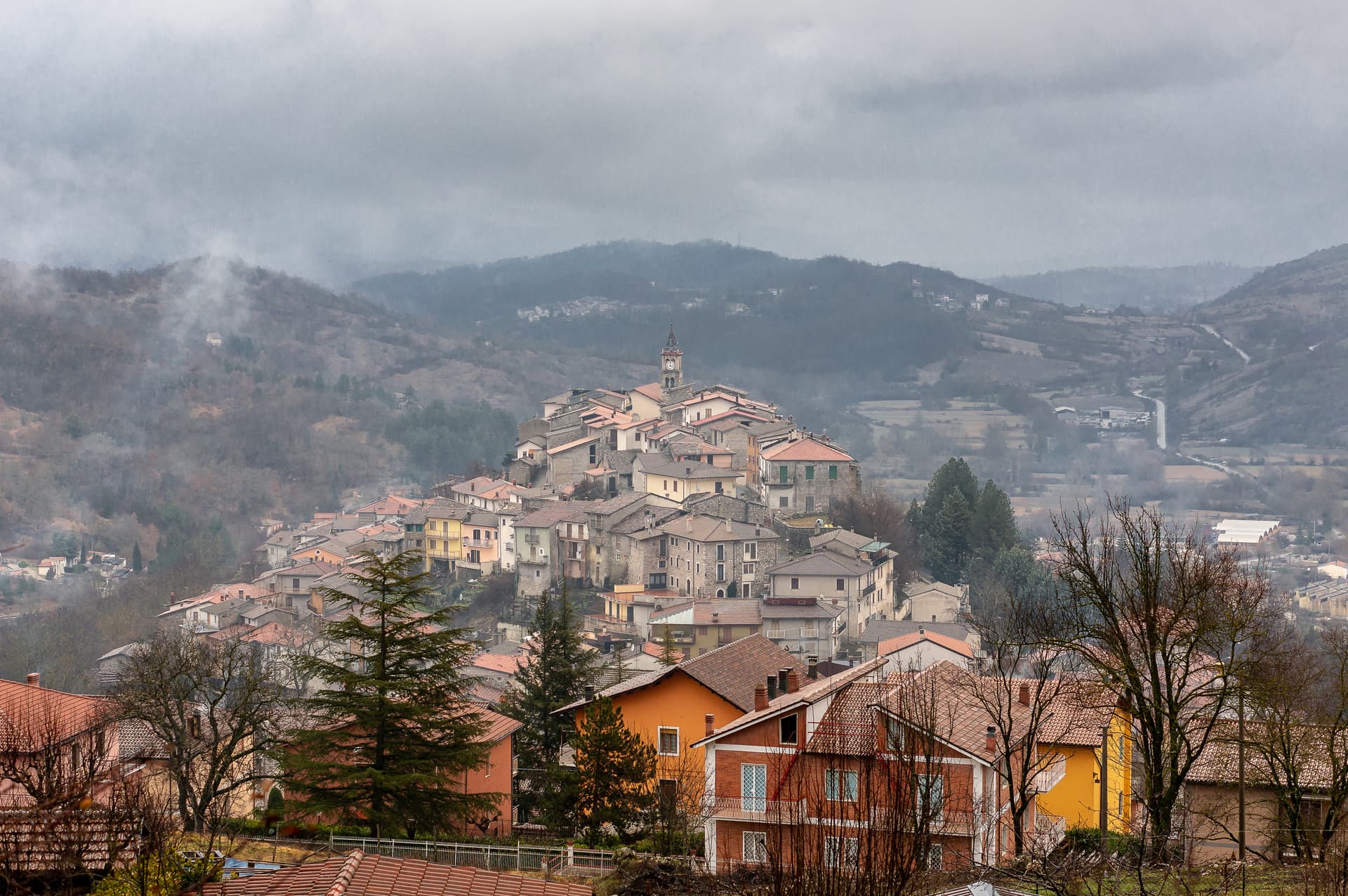
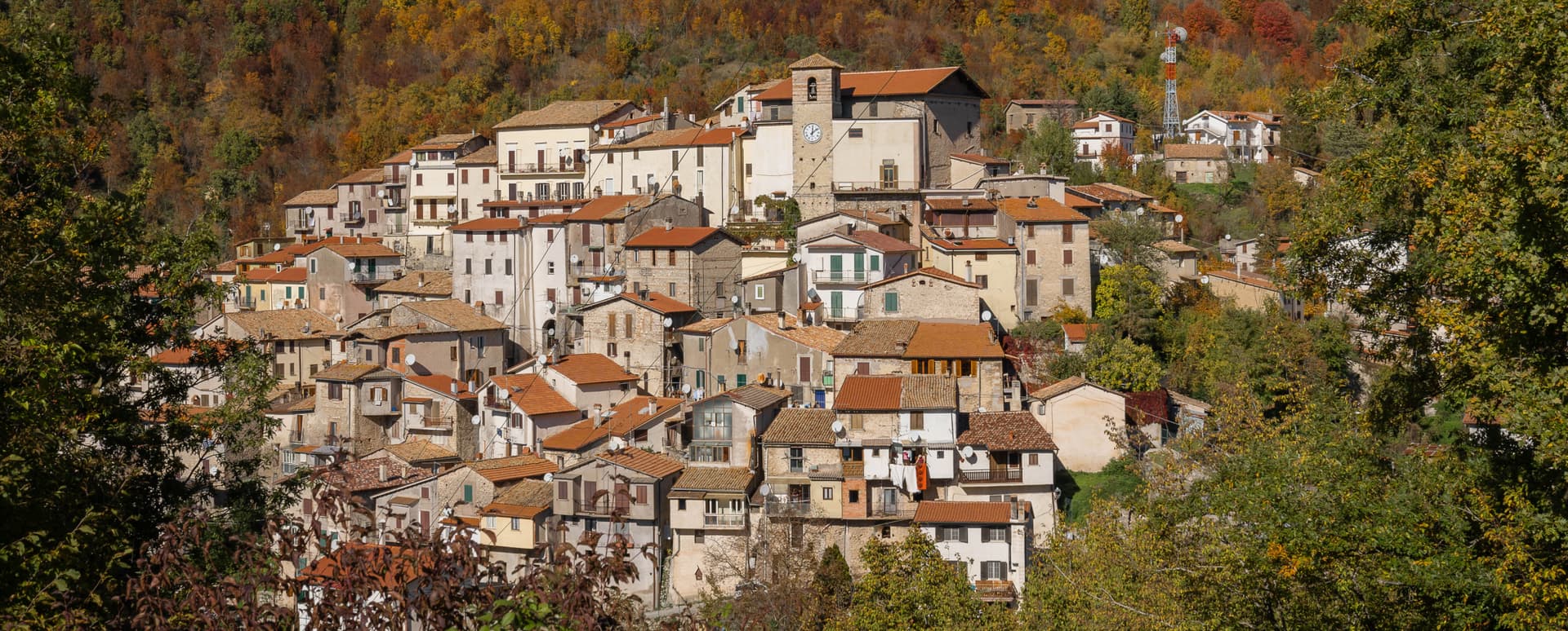
Rocca di Botte sits at 750 meters on the north-western flank of the Carseolani mountains, where Abruzzo meets the Simbruini range across the Lazio border. The village formed around an eleventh-century Basilian monastery, and the Romanesque church of San Pietro Eremita, built in the twelfth century, is dedicated to the hermit Pietro of Trevi who was born here in the early 1000s and chose the contemplative life over an arranged marriage. In medieval documents the place appears as Rocca de Bucte.
In 1496 Ferdinand II of Naples gave it as a fief to the Colonna of Rome, and Colonna rule lasted into the modern period. Today the commune has 866 residents and lies on the Cammino di San Pietro Eremita, a walking route that climbs from the village toward the saint's mountain above. The closer big city is Roma, fifty-five kilometers west.
The Sunday letter
We haven’t written Rocca di Botte’s letter yet.
One town every Sunday, with the photo, the food, the festa. Be there when this one comes up. Free, by Peter & Sophia from Pietrasanta.
By subscribing you agree to Substack’s Terms of Use, our Privacy Policy and our Information collection notice.


What to see
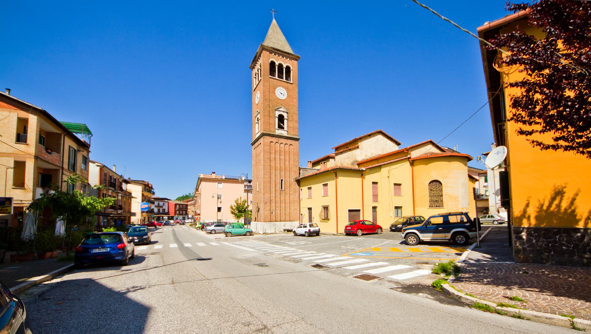
Chiesa di San Pietro Eremita
Twelfth-century Romanesque parish church dedicated to the village's hermit-saint, with an austere stone façade and a single-nave interior.
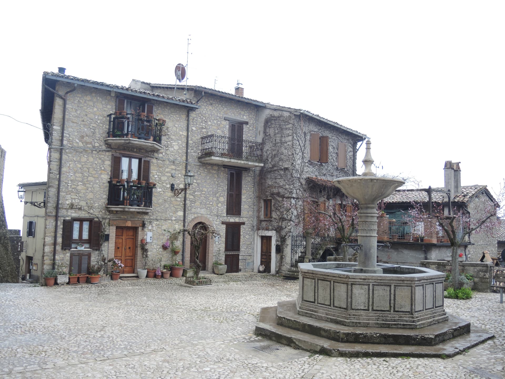
Centro storico
Mountain village core grown around the Basilian monastery of the eleventh century, with stone houses tight along the slope.
Monti Carseolani and Monte San Pietro Eremita
Forested limestone range rising above the village to around 1,400 meters, walked on the Cammino di San Pietro Eremita.
Cammino di San Pietro Eremita
Walking route linking Rocca di Botte to the saint's mountain hermitage and onward across the Lazio border.
The slow-trip planner
Building a trip? Find where Rocca di Botte fits in a slow Italy circuit.
Answer five questions. We will shape a geographically coherent slow trip from the 1,000 Italian towns most travelers skip. Yours to save and share.
Living here
- Population 866
- In-betweeni
- Pharmacy: none mapped
- High school within a 30-minute drive
- Nearest airport Rome, 1 h 41 min drive
- Regional capital L'Aquila, 50 min drive
Tags & datadesignations · numbers · sources
Recognised as
The numbers
- Elevation: 750 m
- Population: 866
- Surface area: 31.11 km²
These figures were compiled from public directories — ISTAT, OpenStreetMap, Wikidata — and from the official listings of the guides named on this page. Town details change; verify with official sources before you travel.
Featured on
Rocca di Botte appears on this themed pick from our Collections:
Close by
More towns near Rocca di Botte
Carsoli
Province: L'Aquila
A 616-meter mountain town in the Marsica, built next to the ruins of Roman Carsioli, the 4th-century BC fortress on the road to Alba Fucens.
Collalto Sabino
Province: Rieti
A 980-meter Sabine borgo dominated by a Barberini baronial castle, with a 360-degree panorama from the keep over the Gran Sasso, Terminillo and Maiella.
Sante Marie
Province: L'Aquila
A 950-meter Marsica village and the trailhead of the Cammino dei Briganti, the seven-day brigand trail through the Cartore band's territory.
Orvinio
Province: Rieti
The highest borgo in the Monti Lucretili park at 840 meters, called Canemorto until 1863 and dominated by the Castello Malvezzi-Campeggi.
Tagliacozzo
Province: L'Aquila
A Marsica town at 740 meters below Monte Civita, where Charles of Anjou won the 1268 battle and the Orsini built the ducal palace.
💎 Borghi Autentici
More Borghi Autentici towns in Abruzzo

Archi
Province: Chieti
A 492-meter rocky spur called the Terrazza sul Sangro, fief of del Balzo, Cantelmo, Colonna and Carafa, now Città del Tartufo and Città dell'Olio.

Balsorano
Province: L'Aquila
At 359 meters in the Valle Roveto, a Piccolomini castle that became the backdrop for half of 1970s Italian horror cinema.

Barrea
Province: L'Aquila
A 1,066-meter spur above an artificial lake at the heart of the Abruzzo National Park, with a Samnite necropolis and an 11th-century di Sangro castle.

Calascio
Province: L'Aquila
At 1,200 meters under the highest castle in the Apennines, a village of 125 people that played the monk's refuge in Ladyhawke.

Campo di Giove
Province: L'Aquila
At 1,064 meters under the southwestern Maiella, the highest village in the park, named for a Roman temple to Jupiter.