

Abruzzo · L'Aquila
Roccacasale
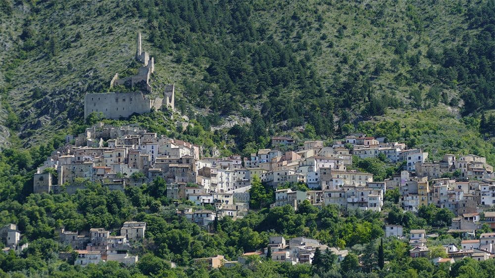
A village of 597 on the slopes of Monte Morrone, under the ruins of a Cantelmo-De Sanctis castle blown up by Napoleon's army in 1803.
Known for
CASTELLO DE SANCTIS
Medieval rocca held by the Cantelmo and then the De Sanctis barons, destroyed by Napoleonic French troops in 1803.
MONTE MORRONE
Long limestone ridge above the village, where Celestino V lived as a hermit before being elected pope in 1294.
MAIELLA PARK
Inside the Parco Nazionale della Majella, on the western slope of the Morrone overlooking the Peligna valley and Sulmona.
When to visit
Best · Apr–Oct
- J
- F
- M
- A
- M
- J
- J
- A
- S
- O
- N
- D
- Best
- Hot or crowded
- Quiet
- Mostly closed
The festa: Michele, 8 May
Why come
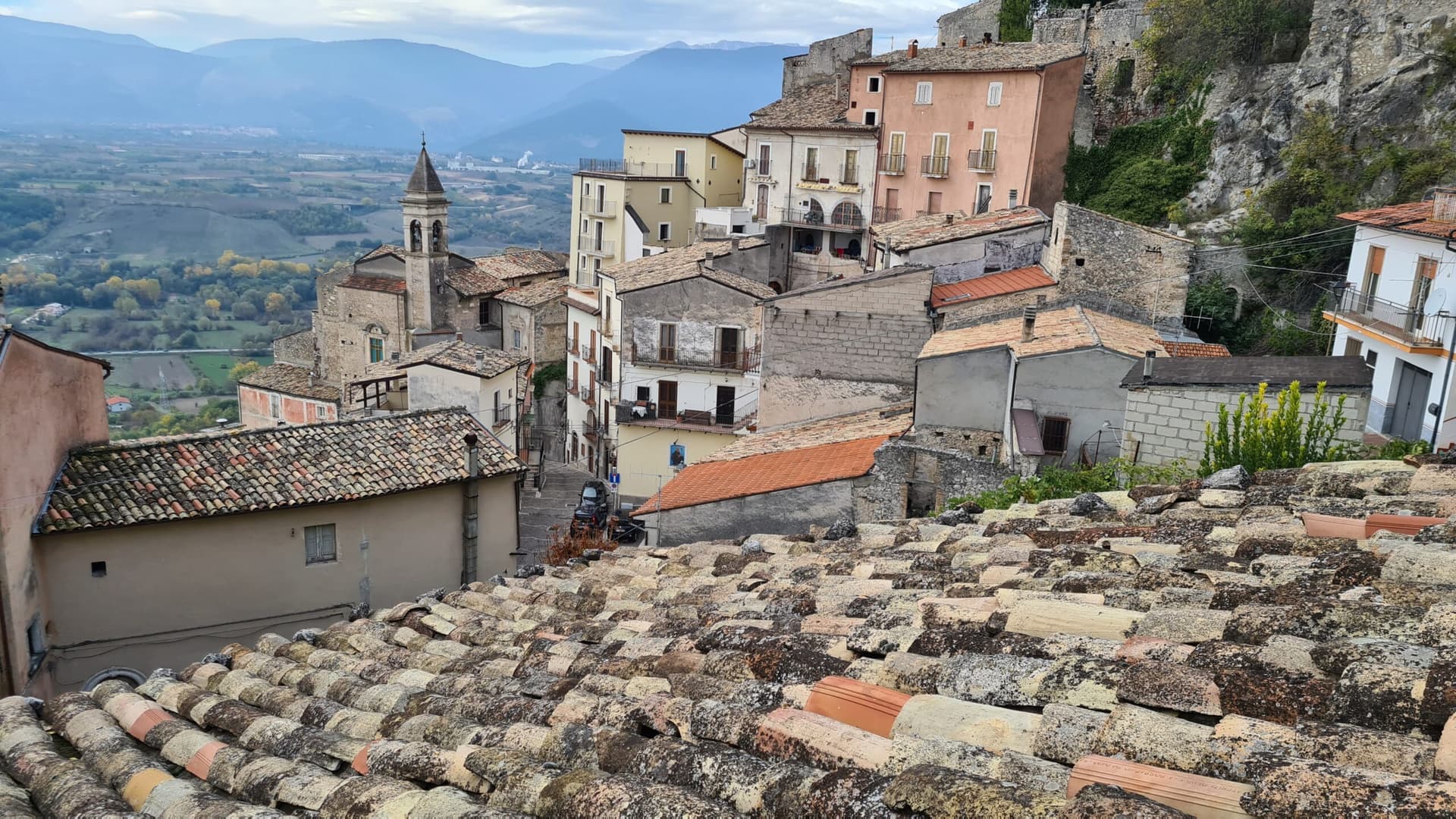
Roccacasale clings to the western slope of Monte Morrone, overlooking the Peligna valley and the town of Sulmona below. The settlement coalesced as a defensive borgo on the slopes directly under a rocca built before the year 1000 to guard the entrance to the Sangro valley and the Cinquemiglia plain against Saracen and Byzantine raids. In 1318 part of the territory passed to Giacomo Cantelmo.
The Cantelmo family held the castle through the Renaissance, then in the late sixteenth century it passed to the De Sanctis barons. In 1803, in the wake of the Napoleonic wars, the French army destroyed the castle. Its ruins still crown the hill above the village.
The Church of Sant'Michele Arcangelo, consecrated in 1579, stands inside the ancient walls. The commune lies inside the Maiella National Park and shares the long ridge of Monte Morrone, where Pope Celestino V spent decades as a hermit before his election in 1294.
The Sunday letter
We haven’t written Roccacasale’s letter yet.
One town every Sunday, with the photo, the food, the festa. Be there when this one comes up. Free, by Peter & Sophia from Pietrasanta.
By subscribing you agree to Substack’s Terms of Use, our Privacy Policy and our Information collection notice.
What to see
Castello De Sanctis
Ruined castle on the Monte Morrone slope above the village, Cantelmo and De Sanctis stronghold, blown up by French troops in 1803.
Chiesa di Sant'Michele Arcangelo
Parish church inside the ancient walls, consecrated 1579, with a baroque interior restored in the nineteenth century.
Borgo medievale
Stone houses arranged on terraces directly below the ruined castle, original medieval plan preserved.
Monte Morrone
Long limestone ridge above the village, 2,061 meters at its highest, hermitage country of Pope Celestino V before his 1294 election.
Parco Nazionale della Majella
Roccacasale sits inside the park, with trails climbing east up the Morrone toward the hermitages of Sant'Onofrio and San Pietro Celestino.
The slow-trip planner
Building a trip? Find where Roccacasale fits in a slow Italy circuit.
Answer five questions. We will shape a geographically coherent slow trip from the 1,000 Italian towns most travelers skip. Yours to save and share.
Living here
- Population 597
- In-betweeni
- Pharmacy in town
- High school within a 30-minute drive
- Train station in the comune
- Nearest airport Rome, 2 h 25 min drive
- Regional capital L'Aquila, 1 h 9 min drive
Tags & datadesignations · numbers · sources
Recognised as
The numbers
- Elevation: 450 m
- Population: 597
- Surface area: 17.31 km²
These figures were compiled from public directories — ISTAT, OpenStreetMap, Wikidata — and from the official listings of the guides named on this page. Town details change; verify with official sources before you travel.
Close by
More towns near Roccacasale
Corfinio
Province: L'Aquila
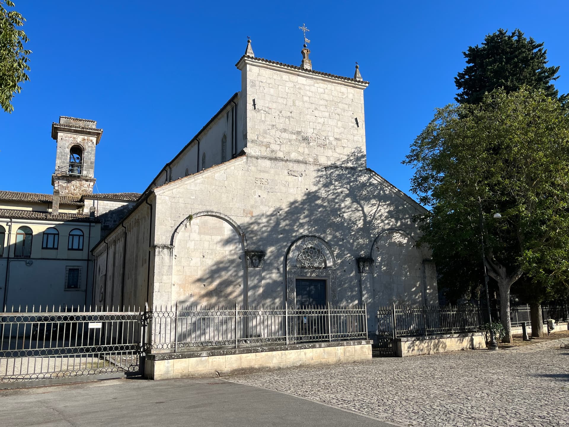
A village of under a thousand on the Peligna valley floor at 346 meters, sitting on the Italic League's would-be capital Italia.
Sulmona
Province: L'Aquila
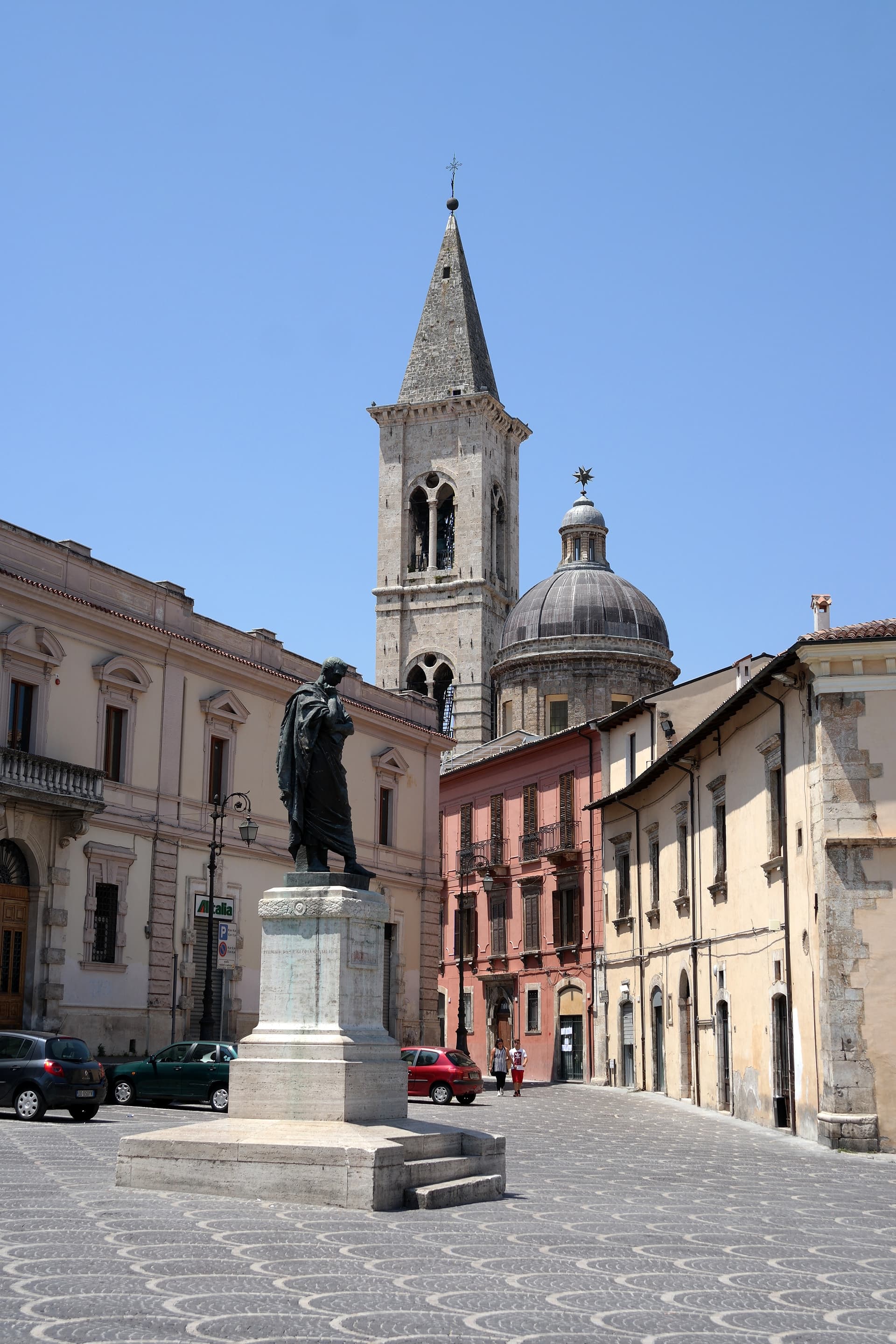
At 405 meters in the Valle Peligna, birthplace of Ovid in 43 BC and home of the sugared-almond confetti industry since the 14th century.
Pacentro
Province: L'Aquila
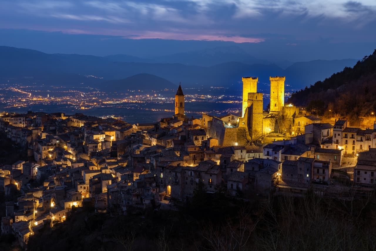
A medieval village at 650 meters under the Caldora castle towers, where every September a barefoot race honors a Madonna and a pop singer's grandparents.
Castelvecchio Subequo
Province: L'Aquila
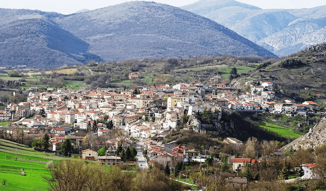
At 409 meters under Monte Sirente, the Roman Superaequum and Franciscan station where the saint himself built a convent between 1221 and 1261.
Pettorano sul Gizio
Province: L'Aquila
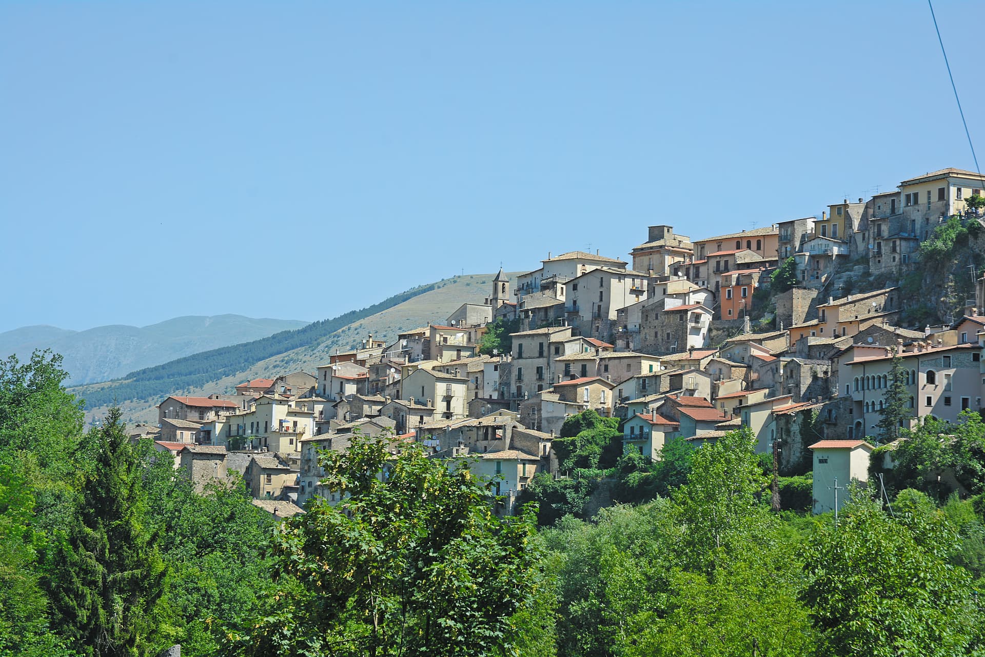
At 656 meters above the Gizio river, a Cantelmo fortress town that guarded the gateway to the Peligna valley for four hundred years.
💎 Borghi Autentici
More Borghi Autentici towns in Abruzzo
Archi
Province: Chieti
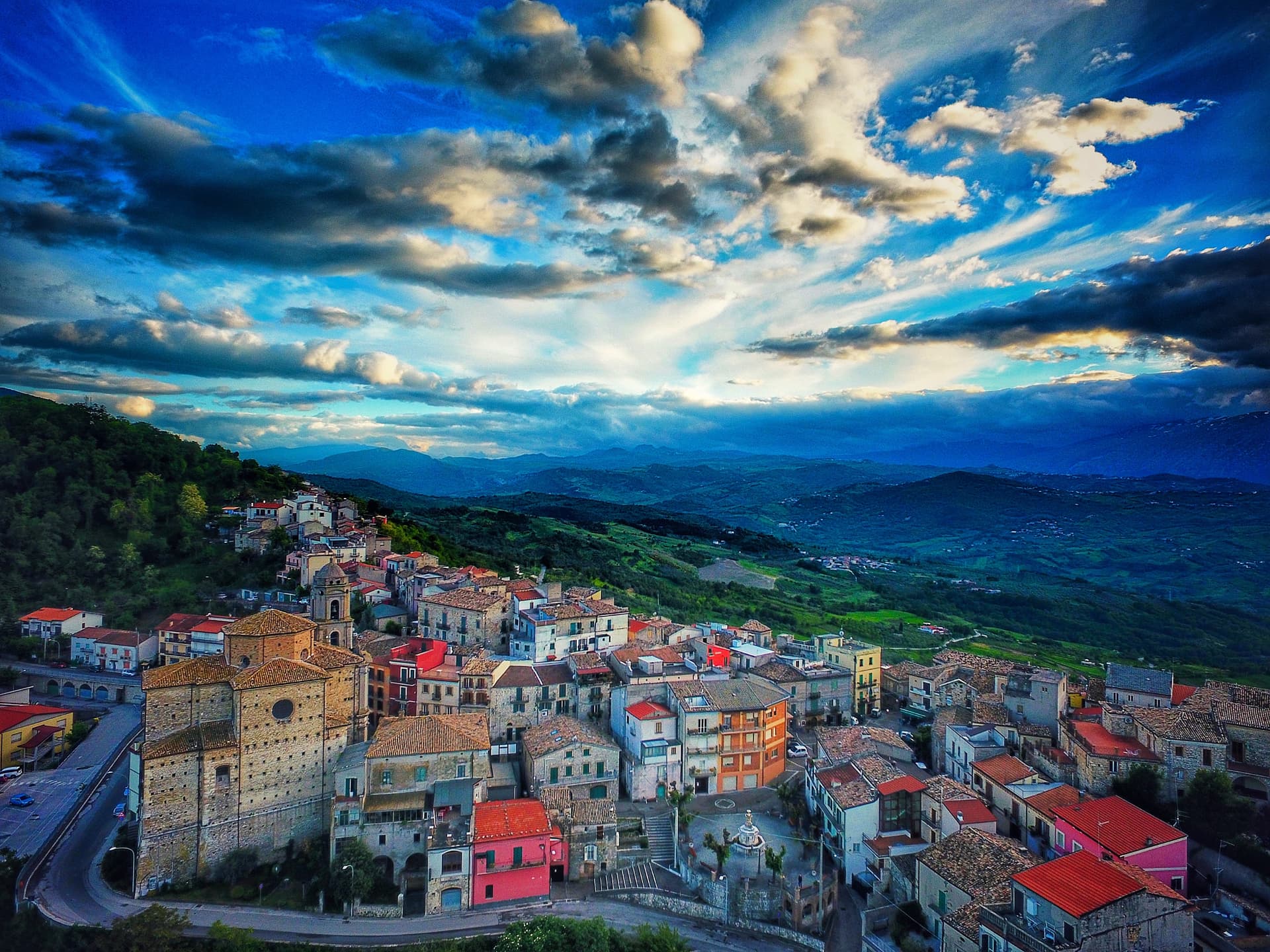
A 492-meter rocky spur called the Terrazza sul Sangro, fief of del Balzo, Cantelmo, Colonna and Carafa, now Città del Tartufo and Città dell'Olio.
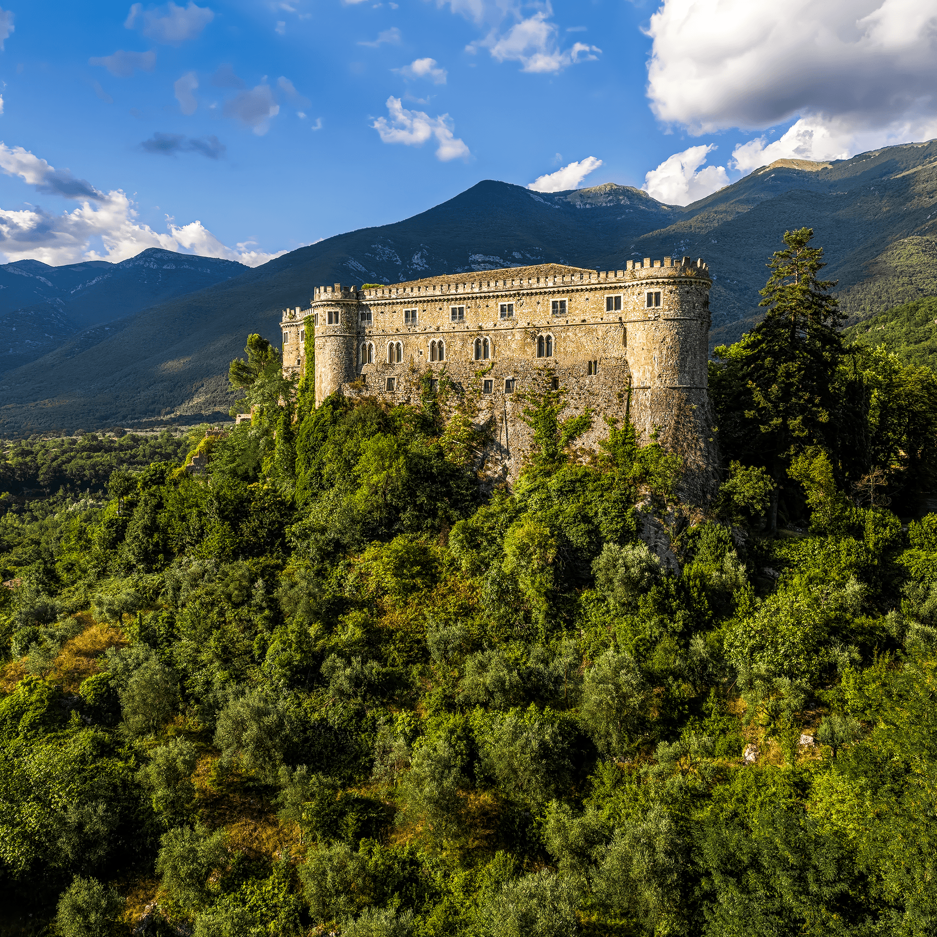
Balsorano
Province: L'Aquila
At 359 meters in the Valle Roveto, a Piccolomini castle that became the backdrop for half of 1970s Italian horror cinema.
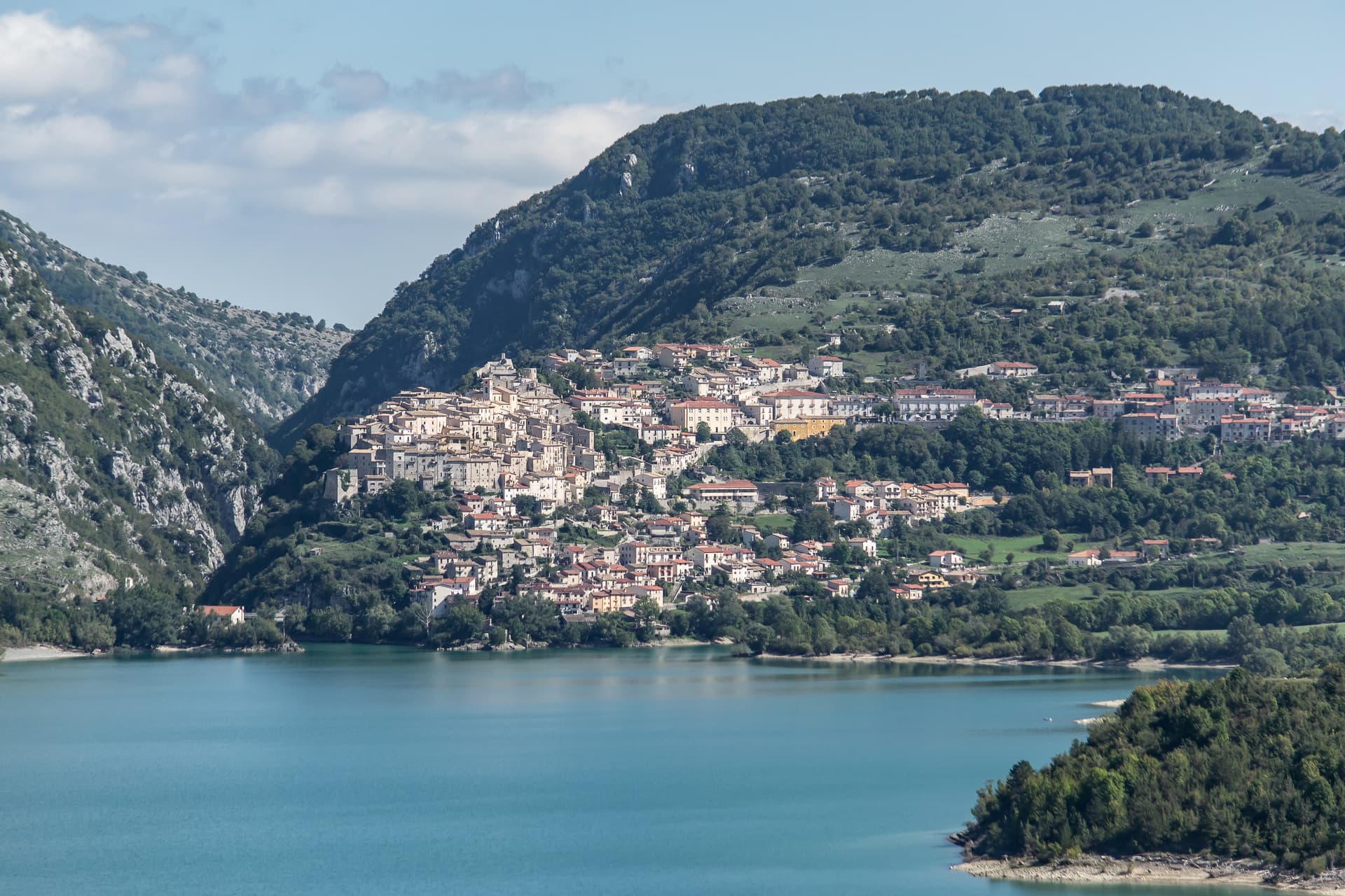
Barrea
Province: L'Aquila
A 1,066-meter spur above an artificial lake at the heart of the Abruzzo National Park, with a Samnite necropolis and an 11th-century di Sangro castle.
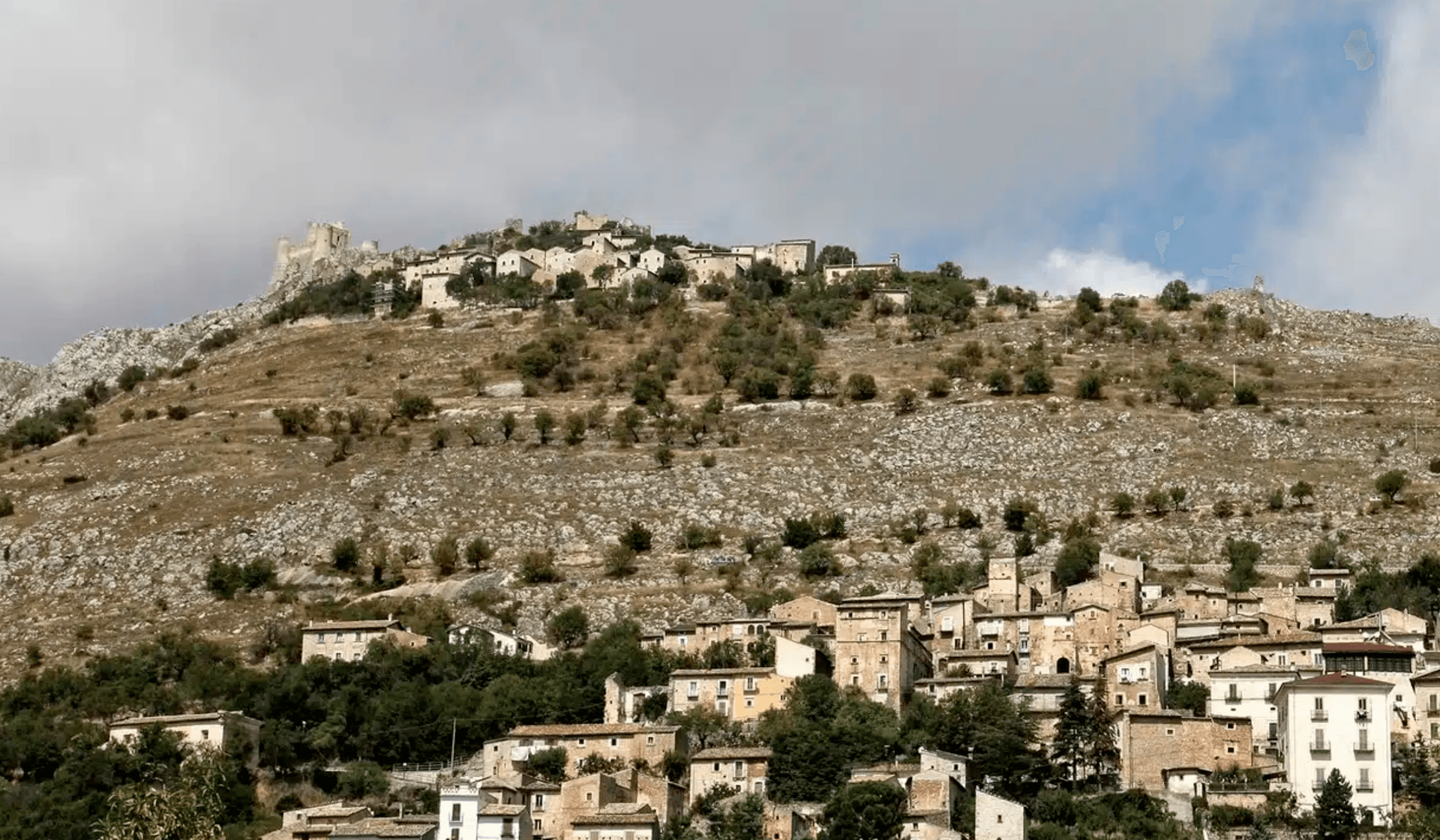
Calascio
Province: L'Aquila
At 1,200 meters under the highest castle in the Apennines, a village of 125 people that played the monk's refuge in Ladyhawke.
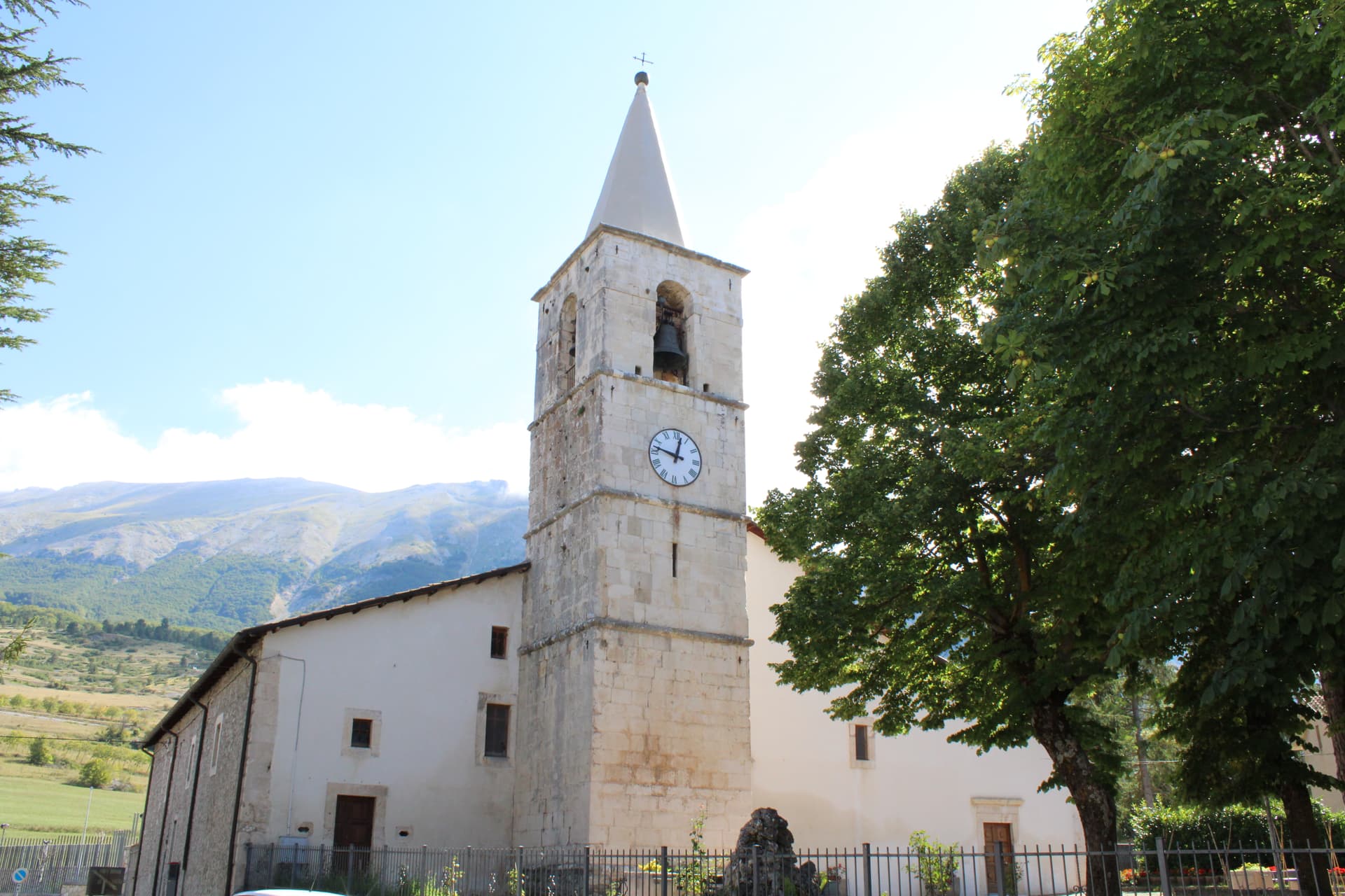
Campo di Giove
Province: L'Aquila
At 1,064 meters under the southwestern Maiella, the highest village in the park, named for a Roman temple to Jupiter.