
Lombardy · Brescia
Sirmione
A 4-kilometer peninsula reaching into the southern Garda, with the Scaliger fortified port and the Roman villa called the Grotte di Catullo at its tip.
Known for
GROTTE DI CATULLO
Roman villa at the peninsula tip, the largest in northern Italy, named for the poet who returned here in his thirty-first poem.
CASTELLO SCALIGERO
The only surviving fourteenth-century fortified port in Italy, built by the Della Scala family of Verona.
TERME
Mineral water rises in Lake Garda at 70 degrees just off the peninsula, the source of the Terme di Catullo spa.
When to visit
Best · Apr–Oct
- J
- F
- M
- A
- M
- J
- J
- A
- S
- O
- N
- D
- Best
- Hot or crowded
- Quiet
- Mostly closed
Why come
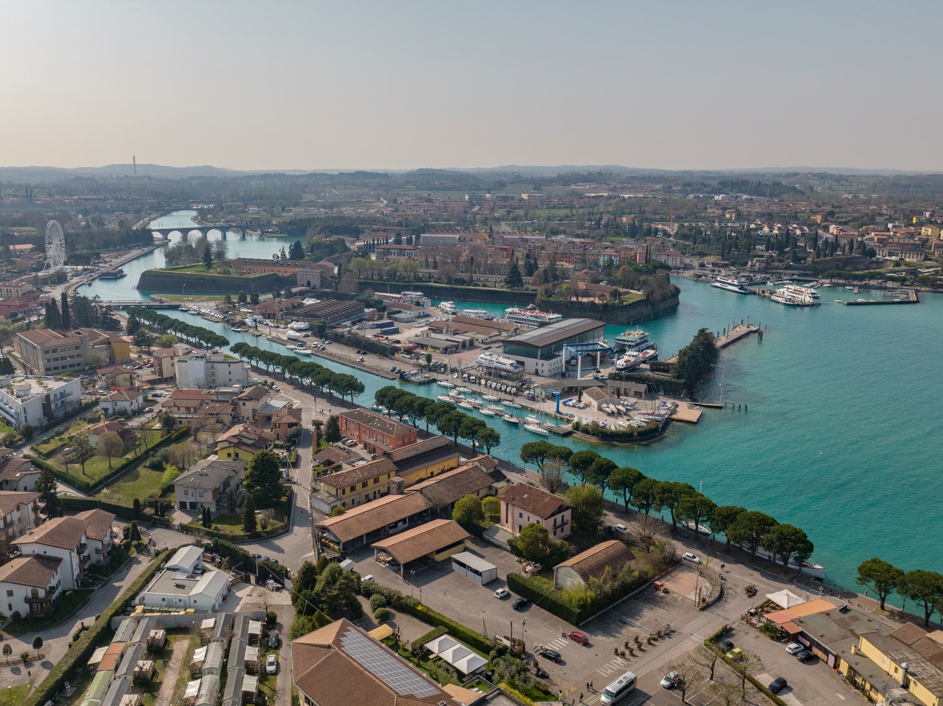
Sirmione sits on a peninsula that stretches four kilometers into the southern end of Lake Garda. The old town occupies a triangle of land just over a mile long, with three low hills, Cortine, San Pietro, and the Grotte di Catullo. The poet Catullus came back here, in the famous Poem 31, to the family villa on the peninsula tip.
The Roman complex that survives at that point, built between the late first century BC and the early first century AD, is the largest Roman private residence in northern Italy; the connection to Catullus is literary rather than archaeological, but the name has stayed for a thousand years. The Della Scala family of Verona built the Castello Scaligero in the late fourteenth century at the only entrance to the old town. It is the only surviving example of a fourteenth-century fortified port in Italy.
Thermal water rises in Lake Garda just off the peninsula at 70 degrees, the source of the Terme di Catullo. Maria Callas kept a villa here through the 1950s and 60s.
The Sunday letter
We haven’t written Sirmione’s letter yet.
One town every Sunday, with the photo, the food, the festa. Be there when this one comes up. Free, by Peter & Sophia from Pietrasanta.
By subscribing you agree to Substack’s Terms of Use, our Privacy Policy and our Information collection notice.


What to see
Castello Scaligero
Late fourteenth-century Della Scala fortress at the entrance to the old town, with a 37-meter keep and a fortified port still enclosing a piece of the lake.
Grotte di Catullo
Roman villa complex at the peninsula tip, largest Roman private residence in northern Italy, built late first century BC to early first century AD.
Terme di Catullo
Thermal spa using mineral water that rises in Lake Garda at 70 degrees just off the peninsula.
Chiesa di San Pietro in Mavino
Romanesque church on the highest hill of the peninsula, with frescoes from the twelfth to fourteenth centuries.
Centro storico di Sirmione
Walled old town inside the Castello Scaligero gates, with a triangle of medieval streets between three low hills.
The slow-trip planner
Building a trip? Find where Sirmione fits in a slow Italy circuit.
Answer five questions. We will shape a geographically coherent slow trip from the 1,000 Italian towns most travelers skip. Yours to save and share.
We recommend
Where to eat and stay
Not our picks, but places the guides put their name to — a Michelin star, a Gambero Rosso fork, a Slow Food snail, a Michelin Key for the hotels. Worth a table, a counter, or a night when you pass through.
La Speranzina Restaurant & RelaisRistorante
La Speranzina Restaurant & Relais carries one Michelin star, plus two Gambero Rosso forks (86/100).
TancrediRistorante
Tancredi holds one Michelin star and two Gambero Rosso forks (83/100).
Caffè Grande ItaliaCaffè
Caffè Grande Italia carries a place on Italy's historic-locali register.
La Rucola 2.0Ristorante
La Rucola 2.0 carries one Michelin star.
Le Gardenie del Villa Cortine Palace Relais & SpaRistorante
Le Gardenie del Villa Cortine Palace Relais & Spa carries two Gambero Rosso forks (81/100).
Grand Hotel Terme SirmioneHotel
A place in the Michelin hotel guide, at Grand Hotel Terme Sirmione.
Hotel CatulloHotel
Hotel Catullo has a place on Italy's historic-locali register to its name.
Hotel Ocelle Thermae & SpaHotel
Hotel Ocelle Thermae & Spa holds a place in the Michelin hotel guide.
Villa CortineHotel
Villa Cortine has one Michelin Key to its name.
Living here
- Population 8,248
- Commuter belti
- Pharmacy in town
- High school within a 30-minute drive
- Nearest airport Verona, 39 min drive
- Regional capital Milano, 1 h 39 min drive
Thermal baths in town: Terme di Sirmione Virgilio, Aquaria.
Tags & datadesignations · numbers · sources
Recognised as
The numbers
- Elevation: 91 m
- Population: 8,248
- Surface area: 26.25 km²
These figures were compiled from public directories — ISTAT, OpenStreetMap, Wikidata — and from the official listings of the guides named on this page. Town details change; verify with official sources before you travel.
Featured on
Sirmione appears on 3 themed picks from our Collections:
Close by
More towns near Sirmione
Peschiera del Garda
Province: Verona
The Venetian fortress town on a Mincio island at the southern outlet of Lake Garda, UNESCO-listed in 2017 for its Sanmicheli bastions.
Lonato del Garda
Province: Brescia
A hilltop commune on the southwestern Garda morainic ridge, with a Visconti Rocca and the 52,000-volume Casa del Podestà library.
Castellaro Lagusello
Province: Mantova
A walled medieval borgo south of Lake Garda, ringed by 13th-century stone walls and overlooking a small heart-shaped natural lake that gives the village its second name and most-photographed silhouette.
Monzambano
Province: Mantova
A Mincio commune at 88 meters in the moraine hills west of Mantova, whose frazione Castellaro Lagusello sits on a heart-shaped lake inside fortified walls.

Solferino
Province: Mantova
The morainic hill where 300,000 soldiers met on 24 June 1859, the battle whose wounded gave Henry Dunant the idea of the Red Cross.
🟦 Bandiera Blu
More Bandiera Blu towns
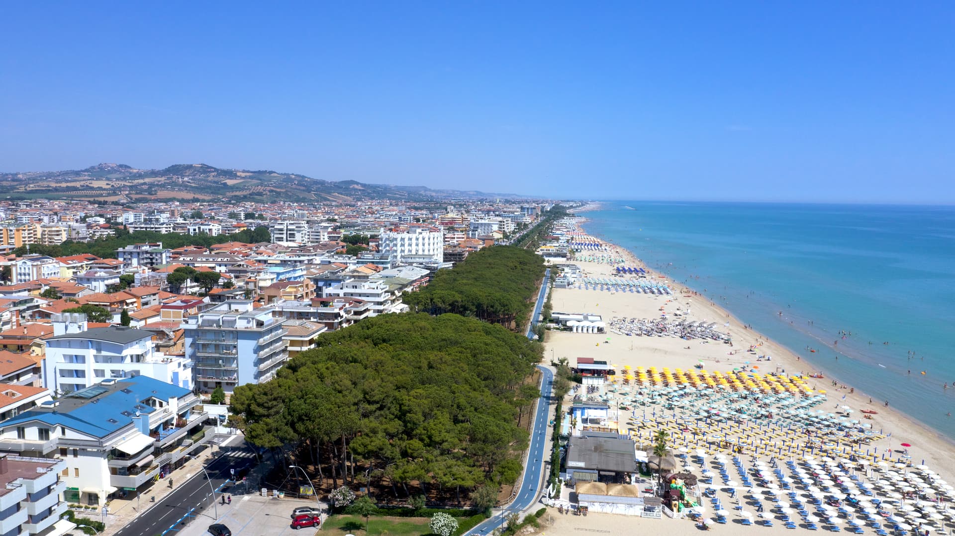
Alba Adriatica
Province: Teramo
The northernmost of the Teramo coast's seven sisters, a 1956 spin-off from Tortoreto with a fine-sand beach known as the Spiaggia d'Argento.
Giulianova
Province: Teramo
Coastal town split between hilltop Paese at 68 meters and the lido, rebuilt in 1471 as a Renaissance ideal city by Giulio Antonio Acquaviva.
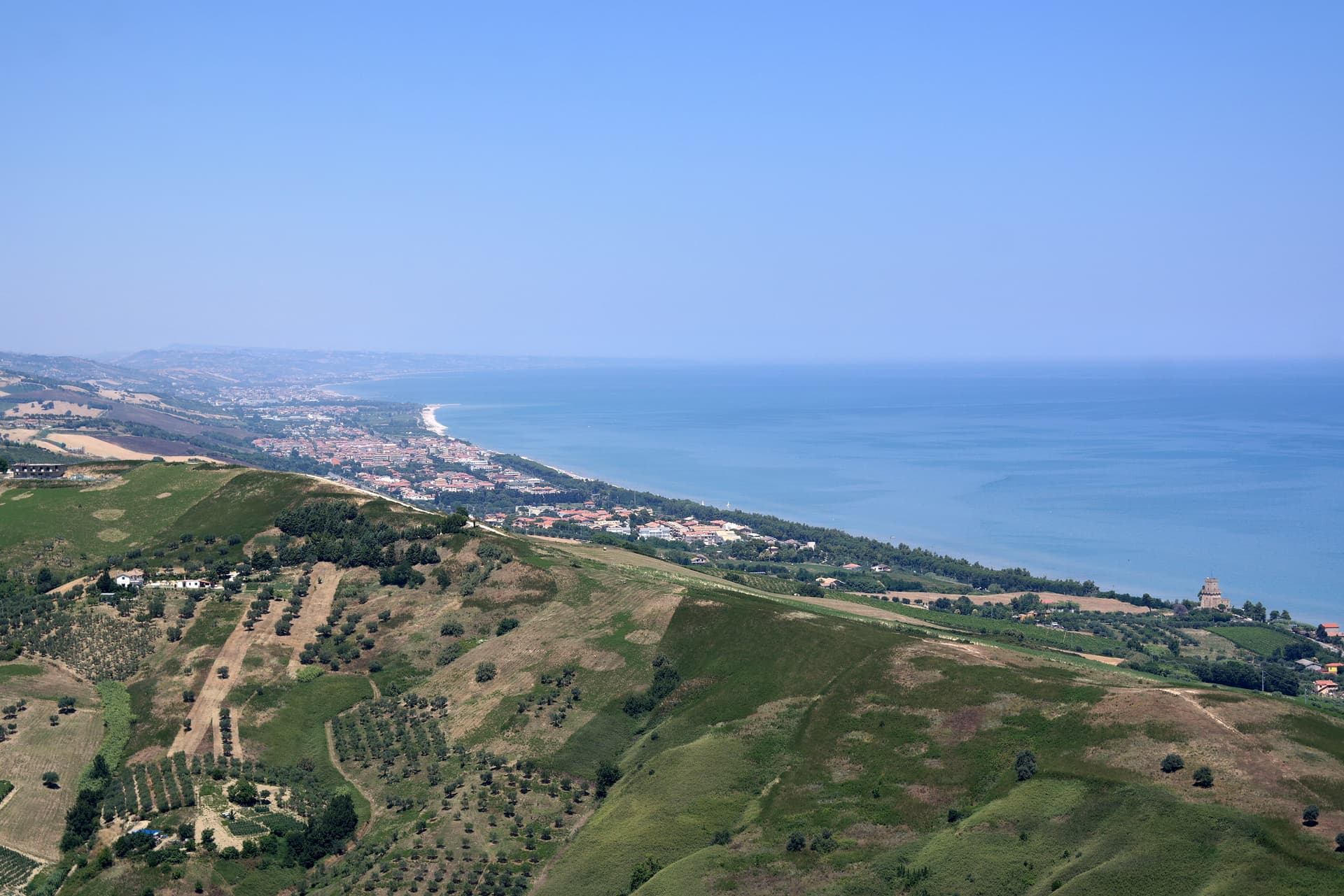
Pineto
Province: Teramo
A planned twentieth-century beach town named for D'Annunzio's poem, with the sixteenth-century Cerrano tower anchoring Abruzzo's first marine protected area.
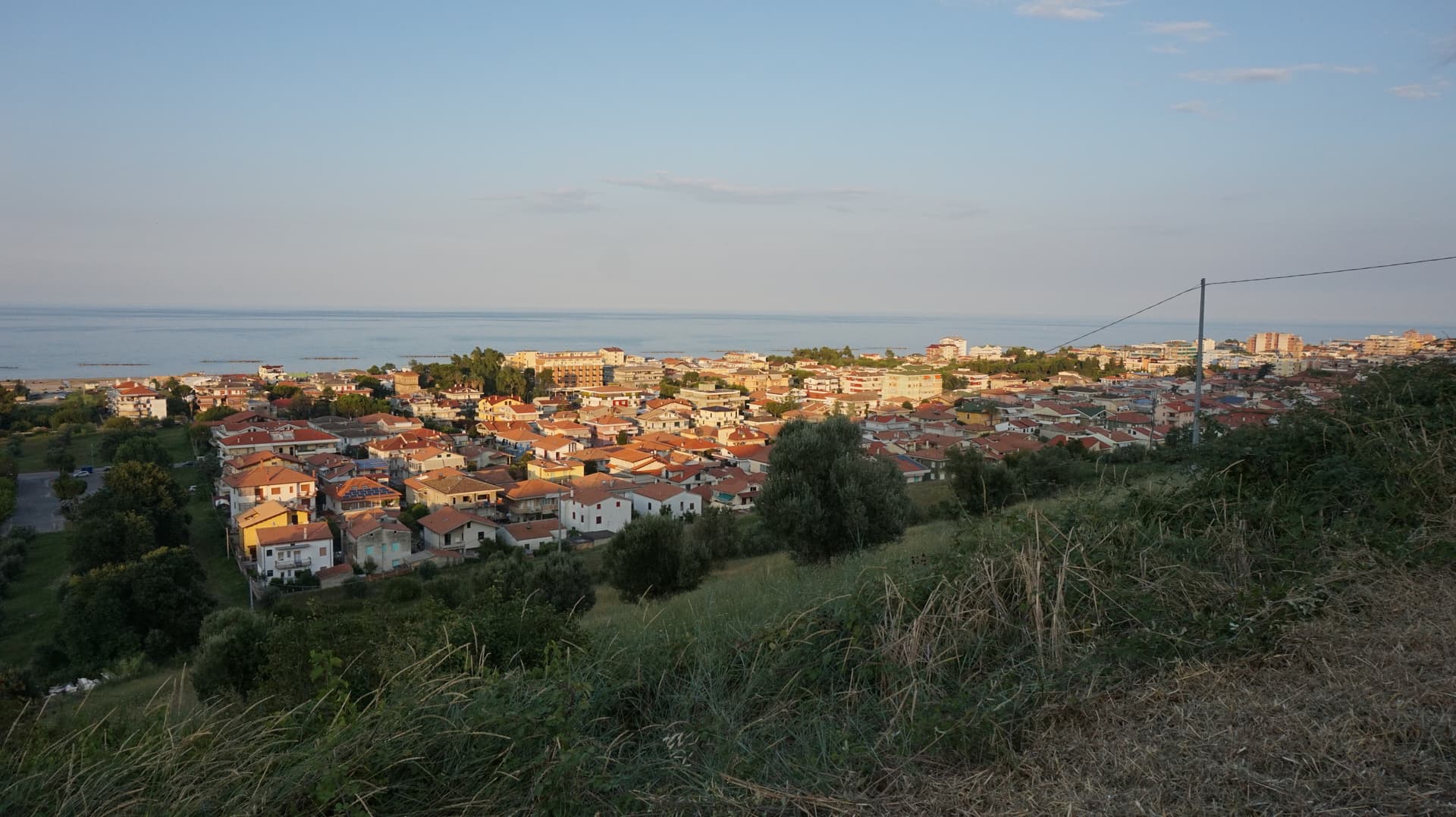
Roseto degli Abruzzi
Province: Teramo
An Adriatic beach town of 25,500 with ten kilometers of low-rise sand, a hilltop frazione at 285 meters, and Blue Flags since 1995.
Scanno
Province: L'Aquila
A 1,057-meter Sagittario valley village photographed by Cartier-Bresson and Giacomelli, where women in black still walk the same alleys as the 1957 series.