

Tuscany · Siena
Monteriggioni
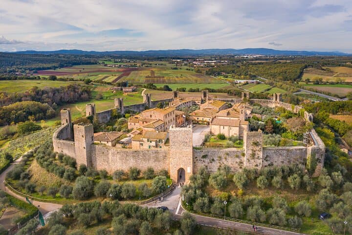
A circular Sienese fortress built between 1213 and 1219 on a natural hill, fourteen towers on a 570-meter wall, intact and unbroken.
Known for
THE WALLS
Fourteen square towers and 570 meters of curtain wall, intact since 1219, the most complete medieval enceinte in central Italy.
DANTE'S GIANTS
Inferno XXXI compares the giants ringing the central pit of Hell to the towers of Monteriggioni seen from below.
VIA FRANCIGENA
Medieval pilgrim route from Canterbury to Rome runs past the southern wall, a documented stop since the twelfth century.
When to visit
Best · Apr–Oct
- J
- F
- M
- A
- M
- J
- J
- A
- S
- O
- N
- D
- Best
- Hot or crowded
- Quiet
- Mostly closed
Why come
Monteriggioni sits on a natural hillock between Firenze and Siena, eleven kilometers from the Sienese gates. The walls were built between 1213 and 1219, when Siena ran them up as a frontline garrison facing Florentine expansion north. They are still there.
Fourteen square towers, 570 meters of curtain wall, ten meters tall, two gates: Porta Fiorentina to the north, Porta Romana to the south. Dante used the towers in Inferno XXXI as the image for the giants ringing the central pit of Hell. The fortress was never breached by storm.
Inside, the village is a single irregular Piazza Roma, a Romanesque parish church of Santa Maria Assunta, a few streets that take fifteen minutes to walk end to end. The Via Francigena runs past the southern wall. The town hosts a medieval festival in early July, when the population inside the walls multiplies for a weekend. The rest of the year, the silence inside the gates is the point.

What to see
Mura di Monteriggioni
Circular 570-meter wall built 1213-1219 by the Sienese, fourteen square towers on equidistant bases, ten meters high, intact.
Piazza Roma
Single main square inside the walls, ringed by stone houses, with the Romanesque parish church on the north side.
Chiesa di Santa Maria Assunta
Romanesque parish church on Piazza Roma, plain stone façade, single nave, the only significant religious building inside the walls.
Camminamento delle mura
Walkway along the parapet of the walls, accessible at two points, with views across the Val d'Elsa to the surrounding ridges.
Via Francigena
The medieval pilgrim route from Canterbury to Rome runs past the southern wall, with Monteriggioni a documented overnight stop since the twelfth century.
The slow-trip planner
Building a trip? Find where Monteriggioni fits in a slow Italy circuit.
Answer five questions. We will shape a geographically coherent slow trip from the 1,000 Italian towns most travelers skip. Yours to save and share.
We recommend
Where to eat and stay
Not our picks, but places the guides put their name to — a Michelin star, a Gambero Rosso fork, a Slow Food snail, a Michelin Key for the hotels. Worth a table, a counter, or a night when you pass through.
Futura OsteriaTrattoria
Futura Osteria carries a Michelin Bib Gourmand, plus three Gambero Rosso prawns.
Osteria Bottega dell'AbateTrattoria
Osteria Bottega dell'Abate carries one Gambero Rosso prawn.
The Sunday letter
Monteriggioni got its letter. One town every Sunday, free — the photo, the food, the festa.
By subscribing you agree to Substack’s Terms of Use, our Privacy Policy and our Information collection notice.
Living here
- Population 9,991
- Commuter belti
- Pharmacy in town
- Nearest high school over ~30 minutes away
- Train station in the comune
- Nearest airport Bologna, 2 h 29 min drive
- Regional capital Firenze, 1 h 36 min drive
Tags & datadesignations · numbers · sources
Recognised as
The numbers
- Elevation: 274 m
- Population: 9,991
- Surface area: 99.72 km²
These figures were compiled from public directories — ISTAT, OpenStreetMap, Wikidata — and from the official listings of the guides named on this page. Town details change; verify with official sources before you travel.
Close by
More towns near Monteriggioni
Siena
Province: Siena
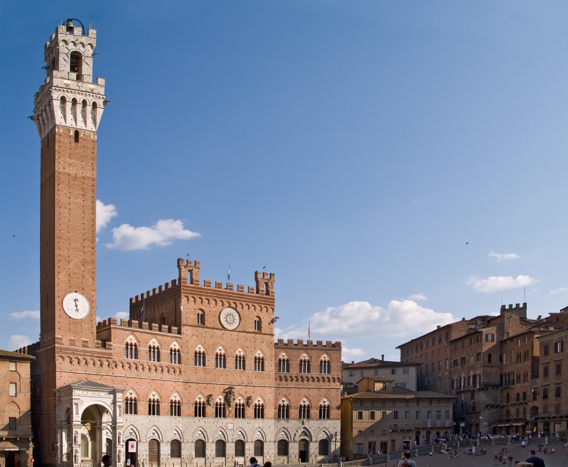
The medieval rival of Florence at 322 meters on three hills, with a shell-shaped piazza where seventeen contrade race bareback horses twice a year.
Castelnuovo Berardenga
Province: Siena
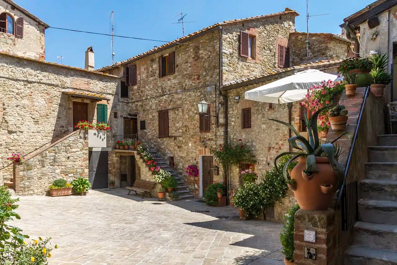
A Chianti Classico commune at 351 meters between the Ombrone and the Crete Senesi, the last castle Siena built against Florence, in 1366.
Castellina in Chianti
Province: Siena
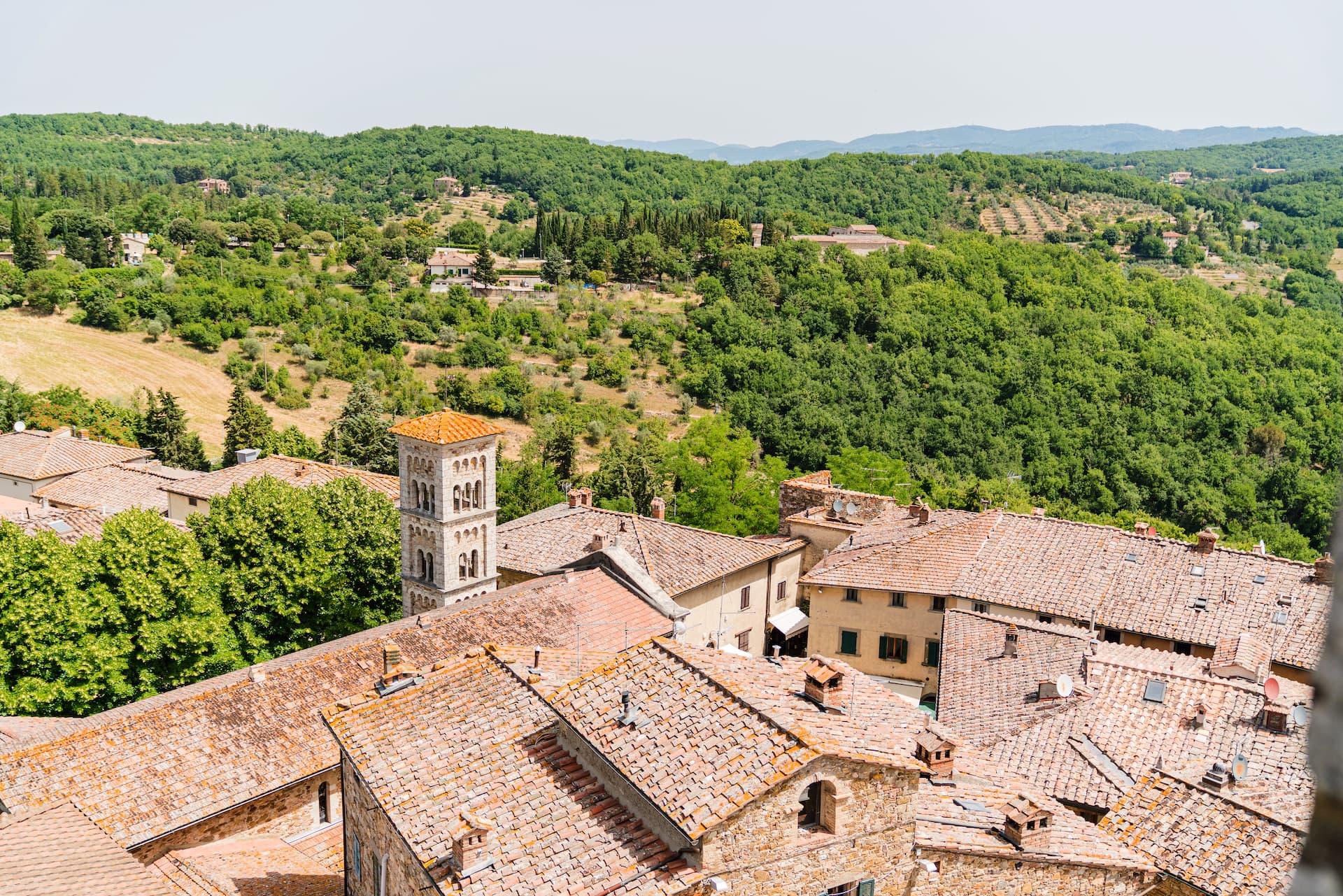
A Chianti hill town at 578 meters on the watershed between the Arno and the Ombrone, with an Etruscan tumulus, a Brunelleschi-reinforced wall and a covered medieval walkway around its edge.
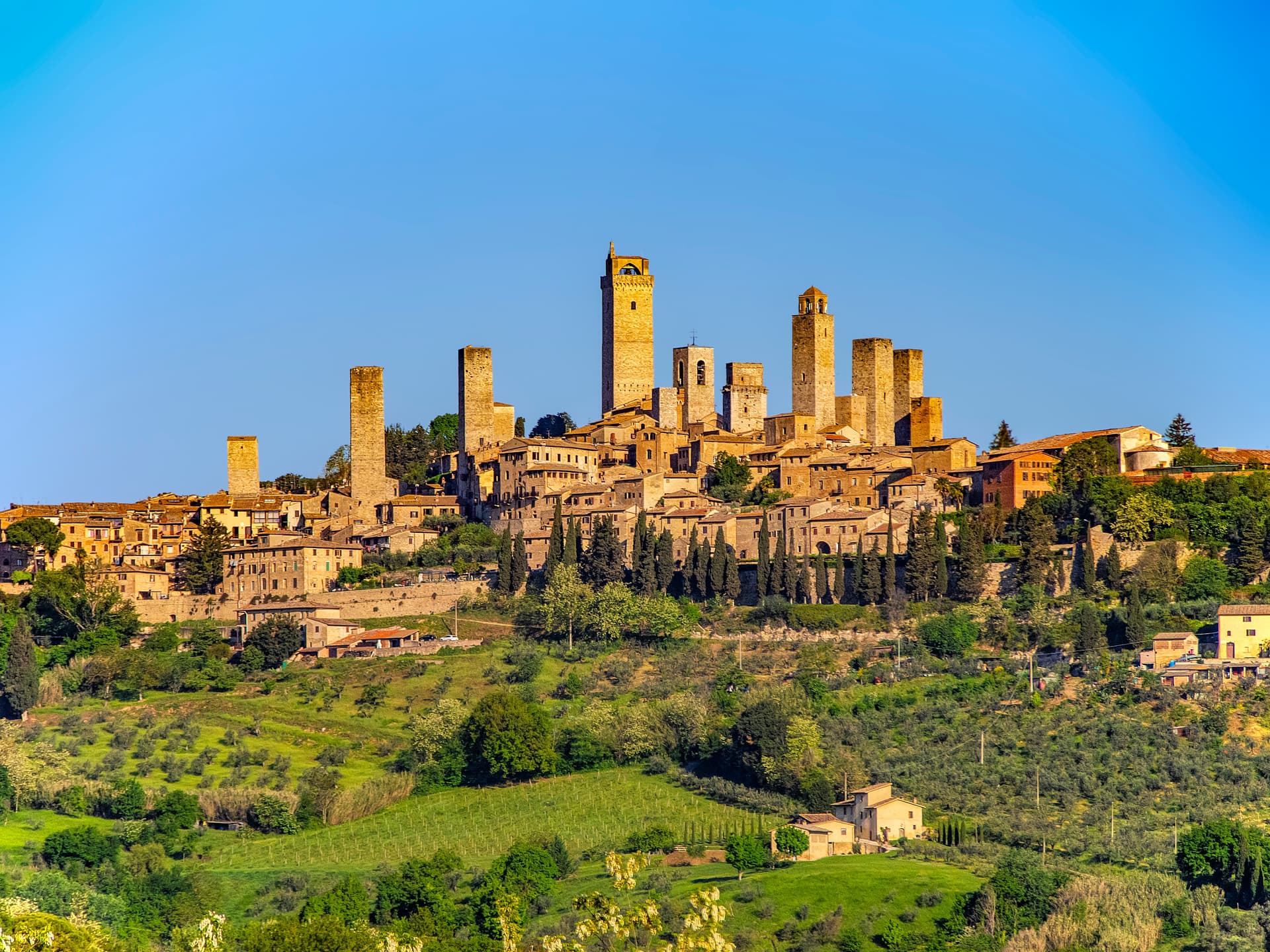
San Gimignano
Province: Siena
A walled hill town at 334 meters with 14 surviving medieval towers, UNESCO listed since 1990 and the home of Vernaccia.
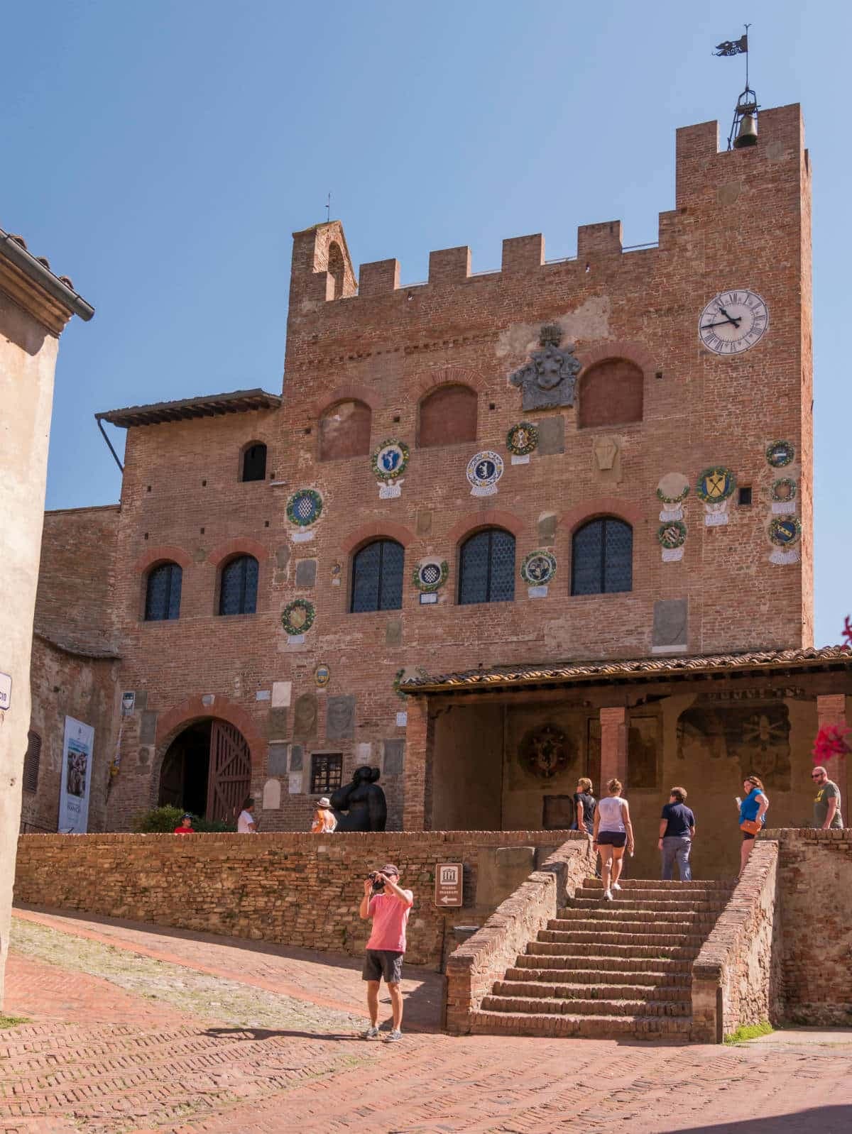
Certaldo
Province: Firenze
The brick-built upper town in the Valdelsa where Boccaccio spent his last years, twenty-five kilometers from Florence on the medieval road to Siena.
🟠 Bandiera Arancione
More Bandiera Arancione towns in Tuscany
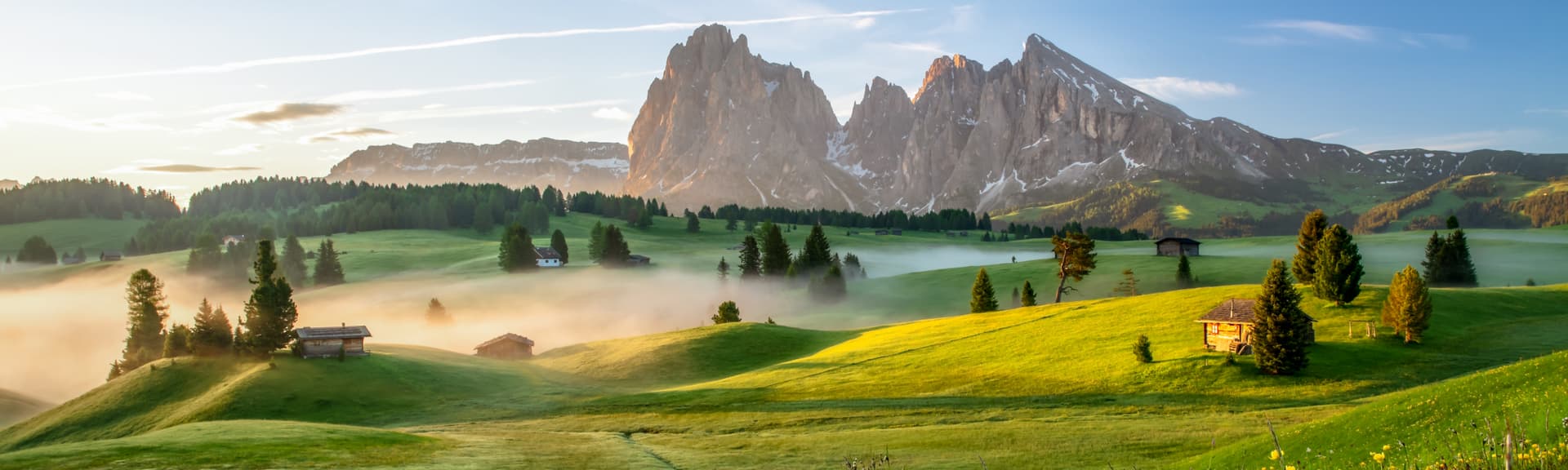
Abetone Cutigliano
Province: Pistoia
The Apennine ski pass at 1,388 meters where the Granduca's two stone pyramids of 1778 mark the old Tuscan-Modenese border.
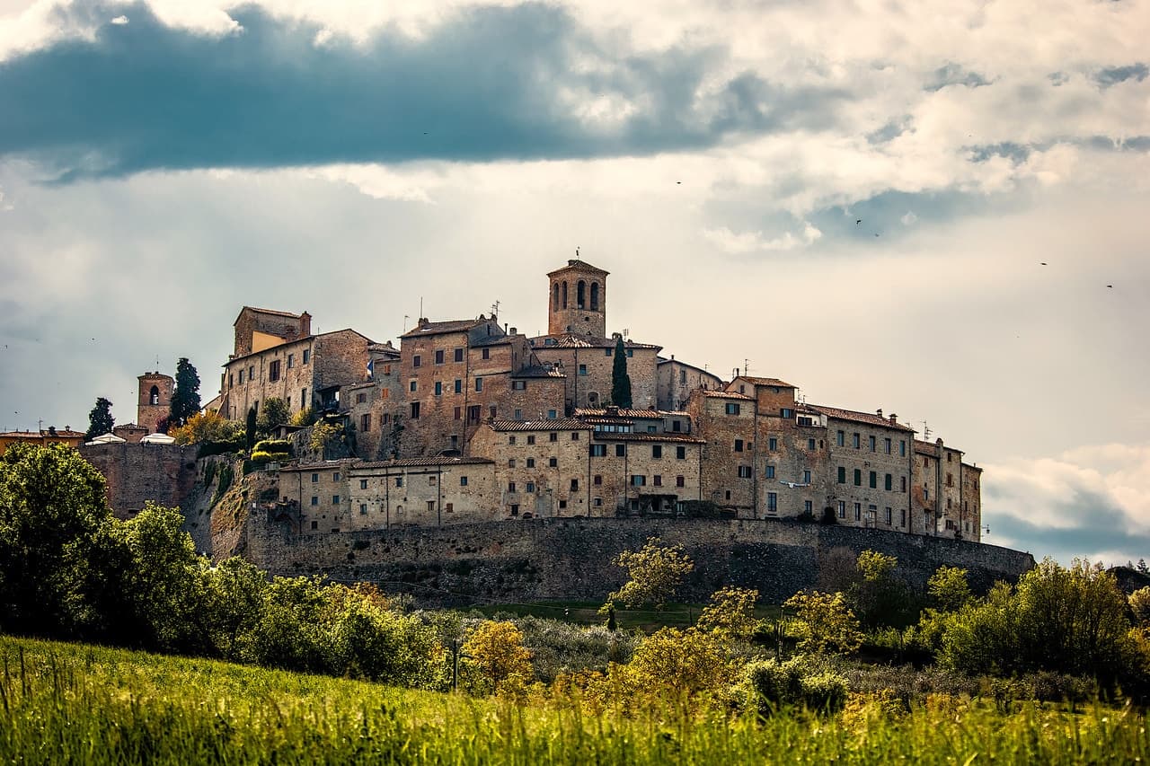
Anghiari
Province: Arezzo
A walled medieval town at 430 meters over the upper Tiber valley, where Florence beat Milan in 1440 and Leonardo started the fresco he never finished.
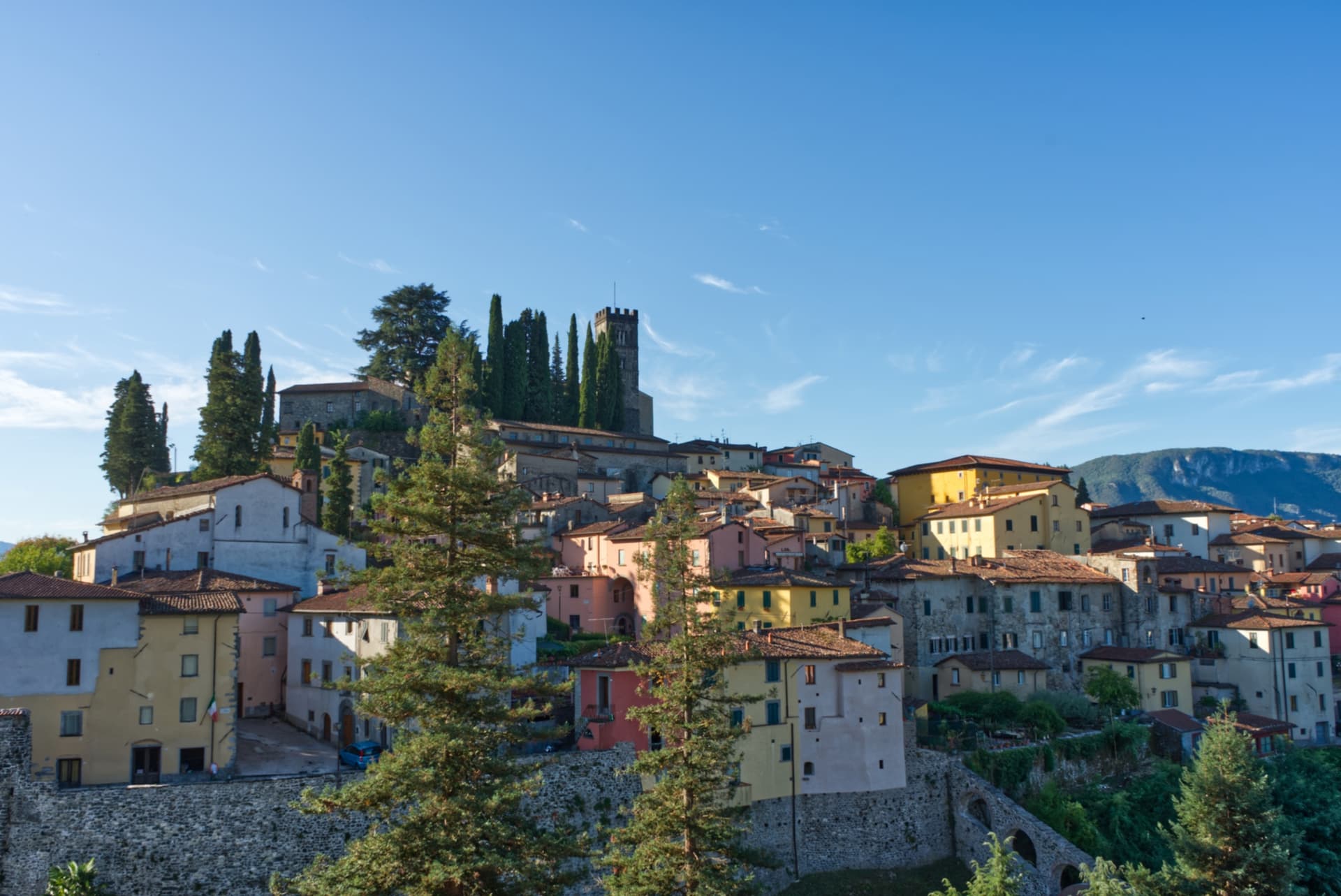
Barga
Province: Lucca
A medieval hilltop town at 410 meters in the Serchio valley between the Apuan Alps and the Apennines, where Giovanni Pascoli wrote his last poems and the August festival serves fish and chips.
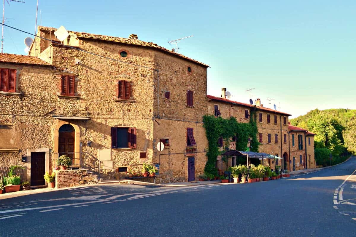
Casale Marittimo
Province: Pisa
A concentric stone borgo at 214 meters above the Val di Cecina, built where a seventh-century BC Etruscan outpost of Volterra once stood.
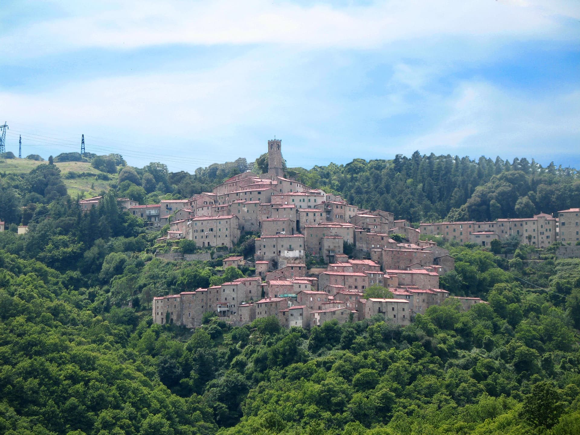
Castelnuovo di Val di Cecina
Province: Pisa
A copper and geothermal borgo at 576 meters in the Cecina valley, where natural steam vents and medieval towers sit on the same hill.