

Abruzzo · L'Aquila
Villetta Barrea
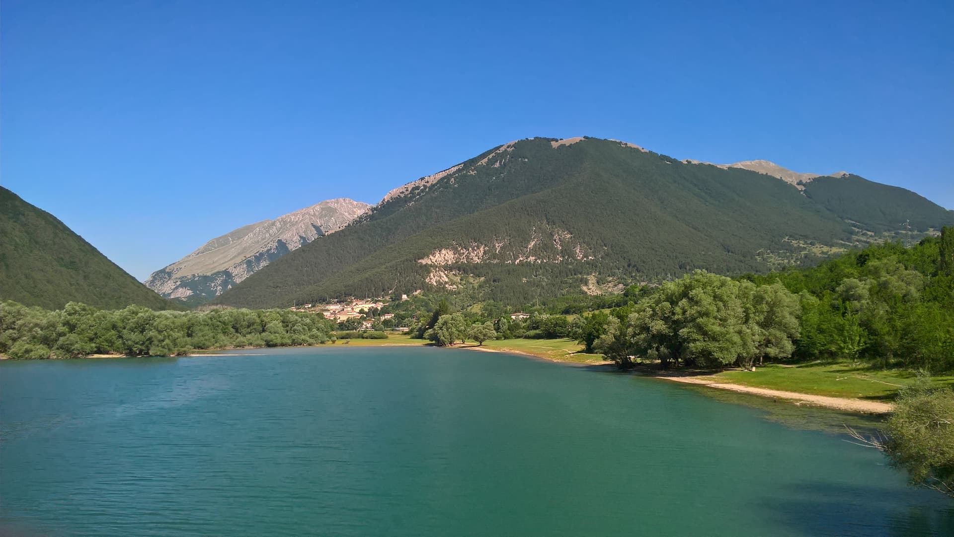
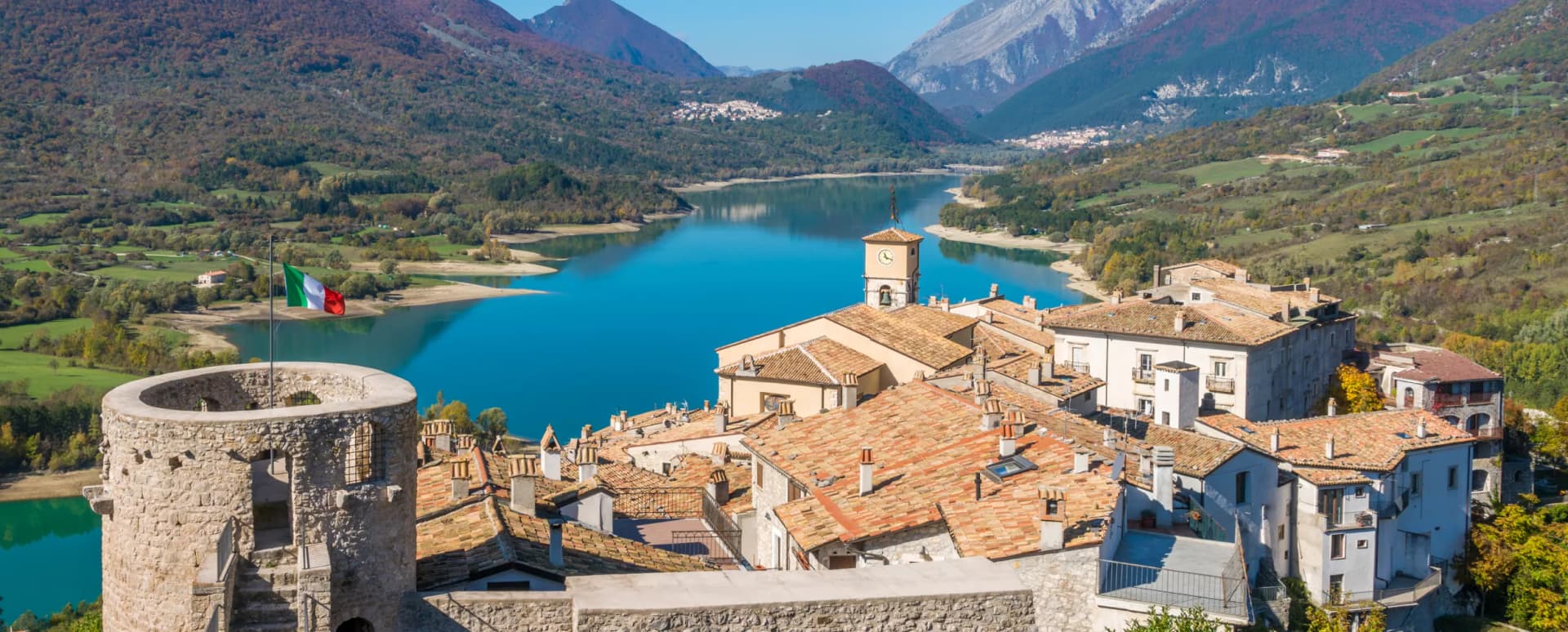
At 975 meters on the shore of Lake Barrea, a village inside the Abruzzo National Park where red deer walk the streets alongside residents.
Known for
RED DEER
Free-roaming red deer walk the village streets in the evenings, one of the rare places in Europe where they share human space.
LAKE BARREA
Reservoir at 980 meters along the Sangro, the southern anchor of the national park and a summer swimming spot.
BLACK PINE
Local subspecies of Austrian pine on Monte Mattone, the signature forest cover above the village.
When to visit
Best · May–Oct
- J
- F
- M
- A
- M
- J
- J
- A
- S
- O
- N
- D
- Best
- Hot or crowded
- Quiet
- Mostly closed
Why come
Villetta Barrea sits at 975 meters on the southern slopes of Monte Mattone, inside the Parco Nazionale d'Abruzzo, Lazio e Molise. The Sangro river runs through the village and feeds Lake Barrea, the artificial reservoir at 980 meters that defines the southern end of the park. The town developed around a 14th-century castle in the upper village, and stabilized through transhumance after 1447, when sheep and herder economies became the spine of inland Abruzzo for four centuries.
What people come for now is the black pine forest, a local subspecies that grows on the slopes above the village, and the red deer, which roam the streets so freely the town is widely called the village of the deer. Wolves, chamois, and Marsican brown bears live in the surrounding park. Pescara is 75 kilometers north.
The Sunday letter
We haven’t written Villetta Barrea’s letter yet.
One town every Sunday, with the photo, the food, the festa. Be there when this one comes up. Free, by Peter & Sophia from Pietrasanta.
By subscribing you agree to Substack’s Terms of Use, our Privacy Policy and our Information collection notice.
What to see
Lago di Barrea
Artificial reservoir at 980 meters along the Sangro, with summer swimming beaches and trails around the shoreline.
Parco Nazionale d'Abruzzo, Lazio e Molise
Italy's oldest mainland national park, home to Marsican brown bear, Apennine wolf, chamois, and the red deer that wander into town.
Pineta di Pino Nero
Black pine forest of a local subspecies, on the slopes of Monte Mattone above the village, traversed by marked park trails.
Castello e borgo medievale
Fourteenth-century castle and surrounding upper village, the original nucleus around which Villetta developed under transhumance economies.
Centro storico
Compact stone village where red deer regularly walk the streets, one of the few inhabited places where wild deer coexist with residents.
The slow-trip planner
Building a trip? Find where Villetta Barrea fits in a slow Italy circuit.
Answer five questions. We will shape a geographically coherent slow trip from the 1,000 Italian towns most travelers skip. Yours to save and share.
Living here
- Population 602
- Very remotei
- Pharmacy in town
- Nearest high school over ~30 minutes away
- Nearest airport Naples / Salerno, 2 h 28 min drive
- Regional capital L'Aquila, 1 h 39 min drive
Tags & datadesignations · numbers · sources
Recognised as
The numbers
- Elevation: 975 m
- Population: 602
- Surface area: 20.53 km²
These figures were compiled from public directories — ISTAT, OpenStreetMap, Wikidata — and from the official listings of the guides named on this page. Town details change; verify with official sources before you travel.
Close by
More towns near Villetta Barrea
Scanno
Province: L'Aquila
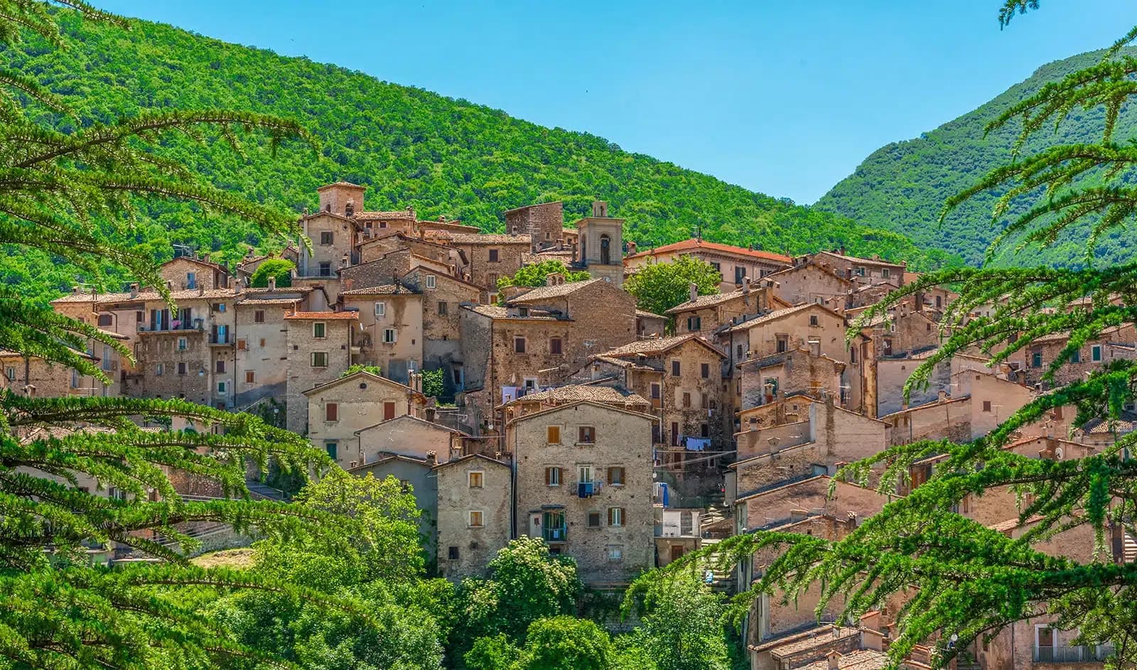
A 1,057-meter Sagittario valley village photographed by Cartier-Bresson and Giacomelli, where women in black still walk the same alleys as the 1957 series.
Civitella Alfedena
Province: L'Aquila
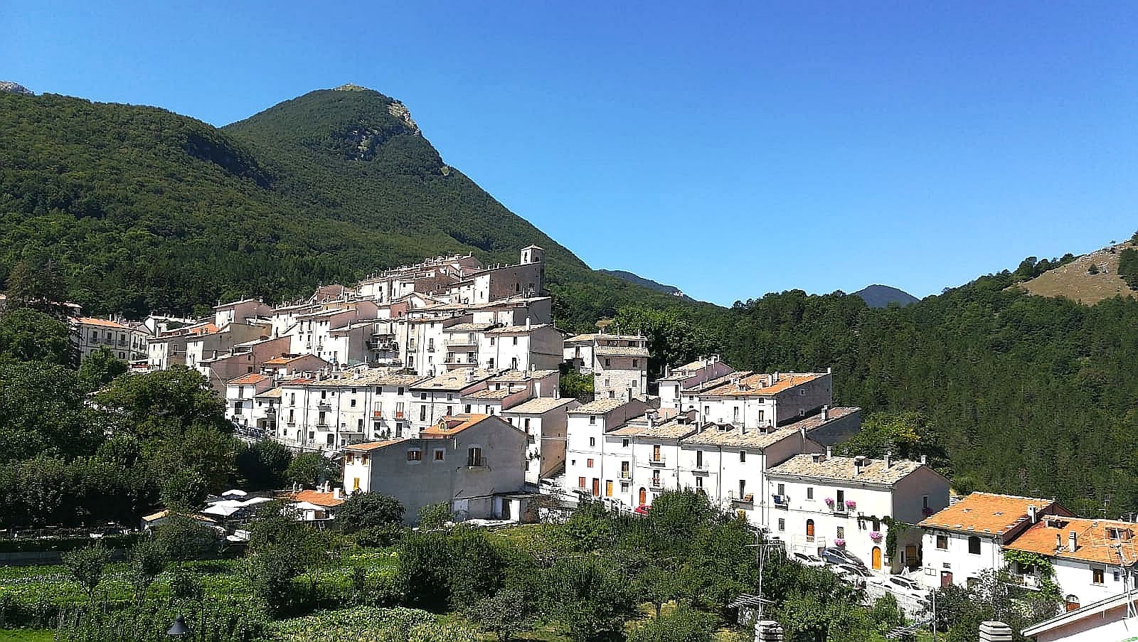
At 1,123 meters above Lake Barrea, 285 residents, the trailhead for the Camosciara reserve and home of the Apennine Wolf Museum.
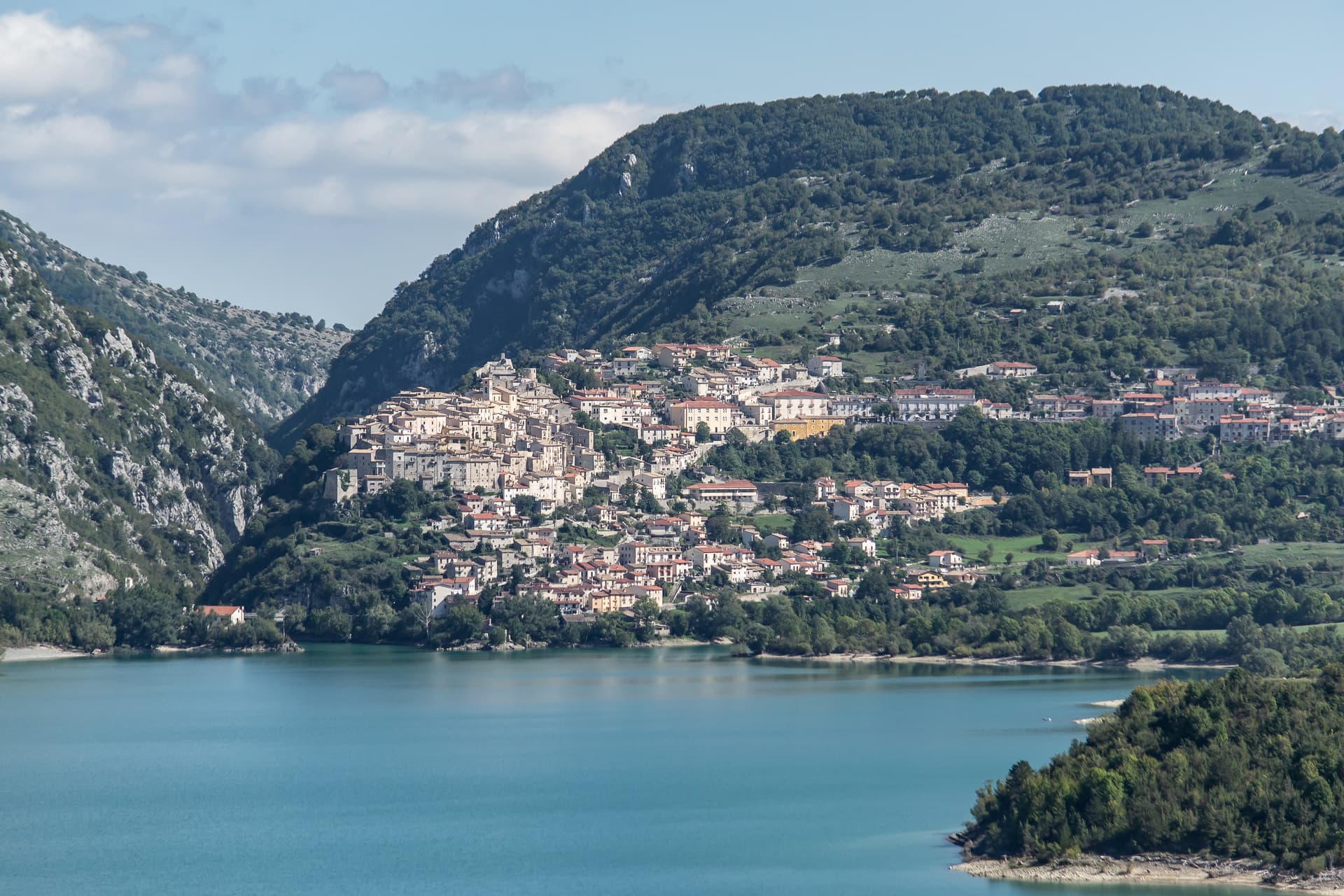
Barrea
Province: L'Aquila
A 1,066-meter spur above an artificial lake at the heart of the Abruzzo National Park, with a Samnite necropolis and an 11th-century di Sangro castle.
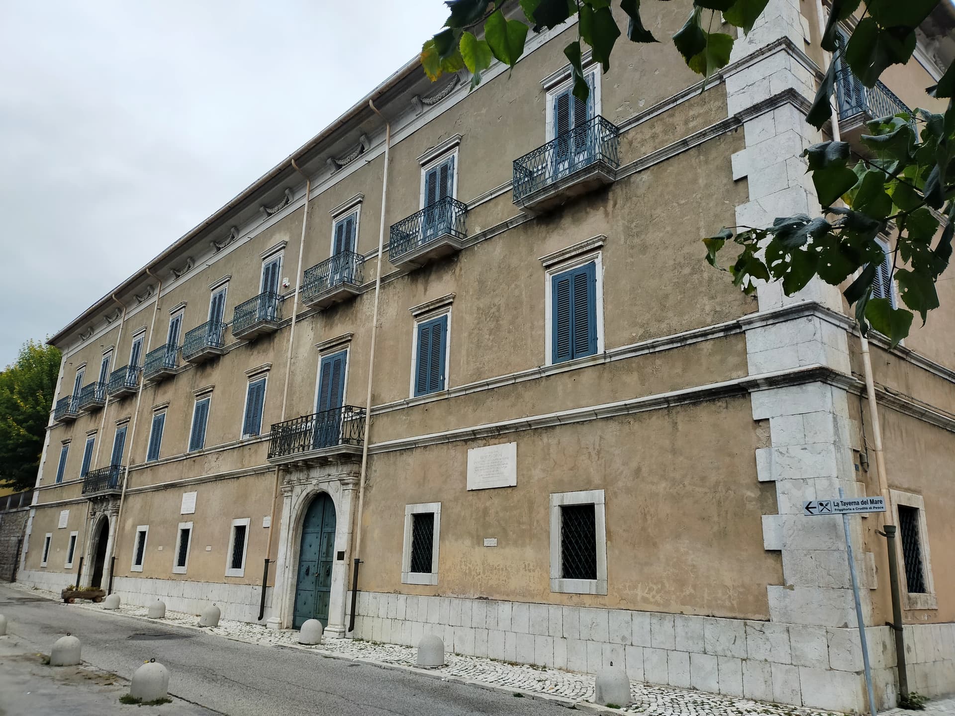
Pescasseroli
Province: L'Aquila
At 1,167 meters at the head of the Sangro valley, capital of Italy's oldest national park and birthplace of Benedetto Croce.
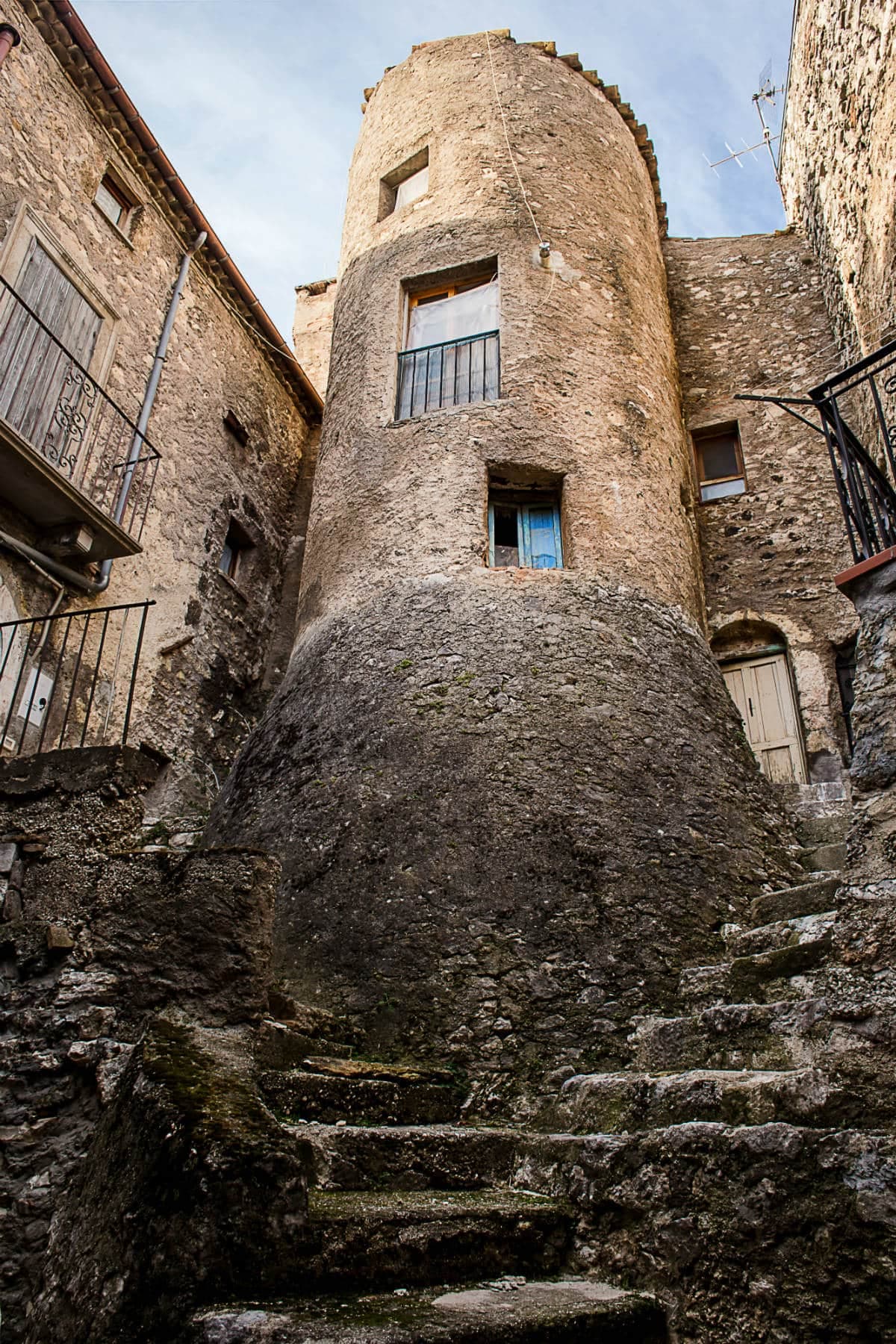
Villalago
Province: L'Aquila
A 930-meter village above three lakes, named for the nine that once filled the valley, with a hermit's cave on the water's edge.
💎 Borghi Autentici
More Borghi Autentici towns in Abruzzo
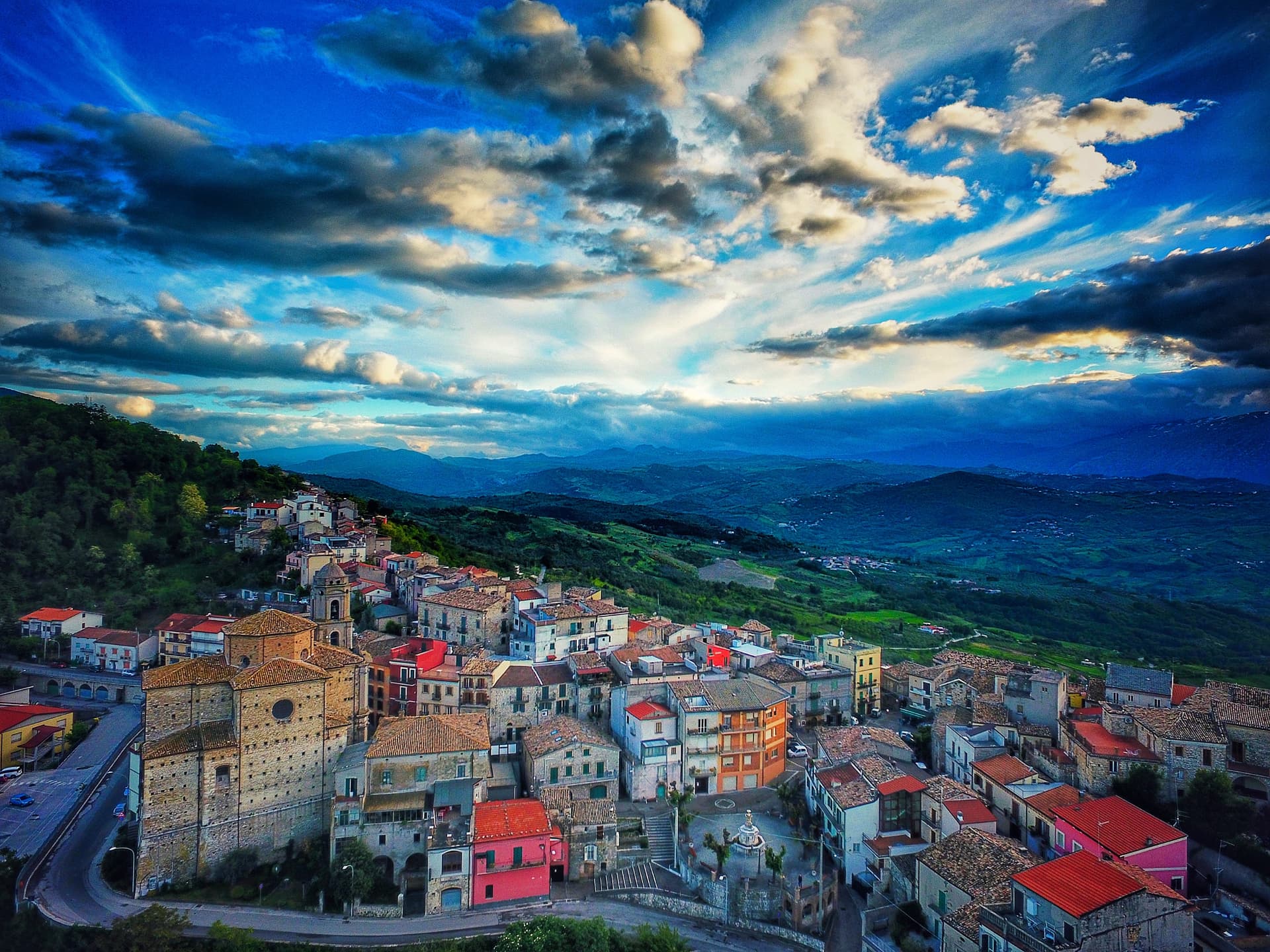
Archi
Province: Chieti
A 492-meter rocky spur called the Terrazza sul Sangro, fief of del Balzo, Cantelmo, Colonna and Carafa, now Città del Tartufo and Città dell'Olio.
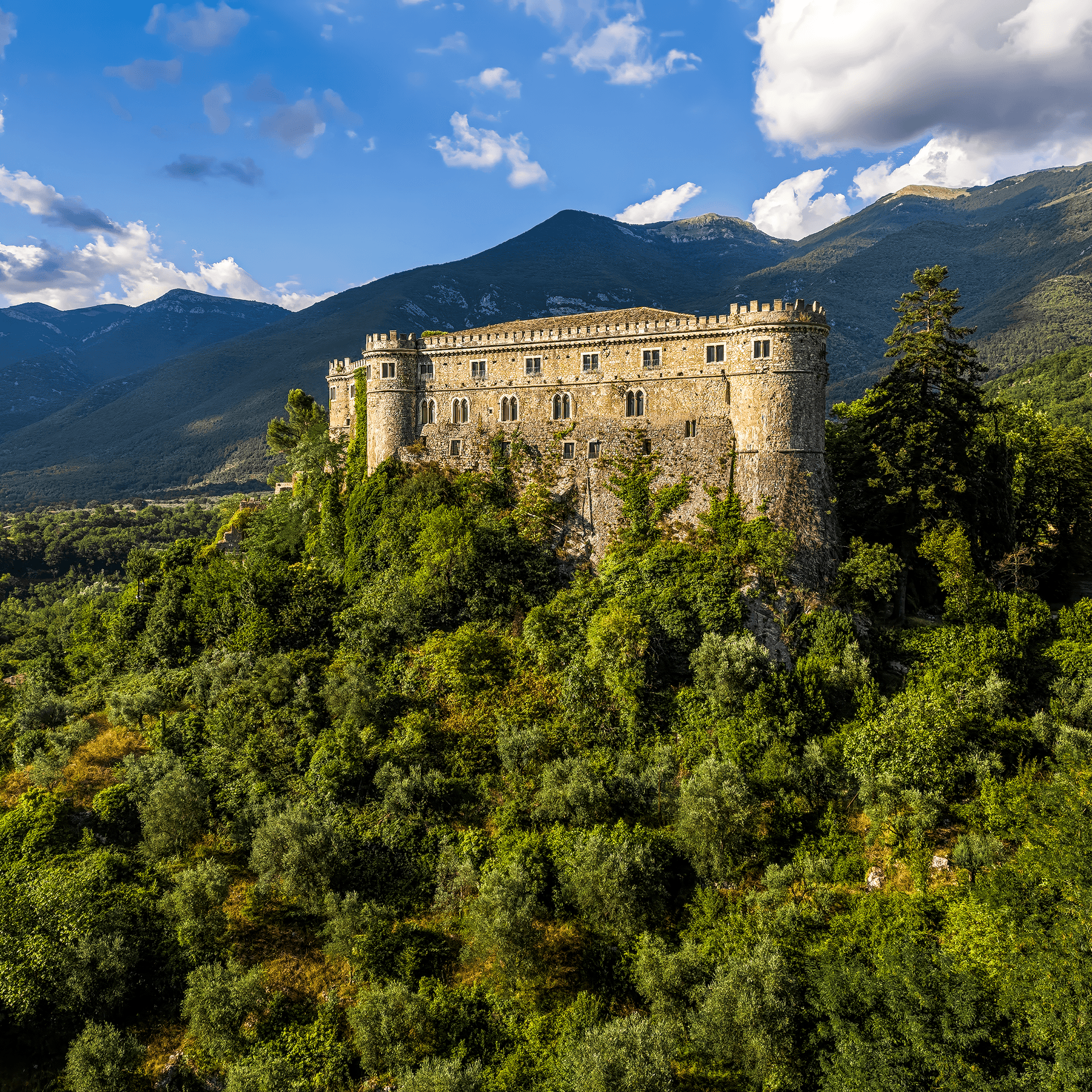
Balsorano
Province: L'Aquila
At 359 meters in the Valle Roveto, a Piccolomini castle that became the backdrop for half of 1970s Italian horror cinema.
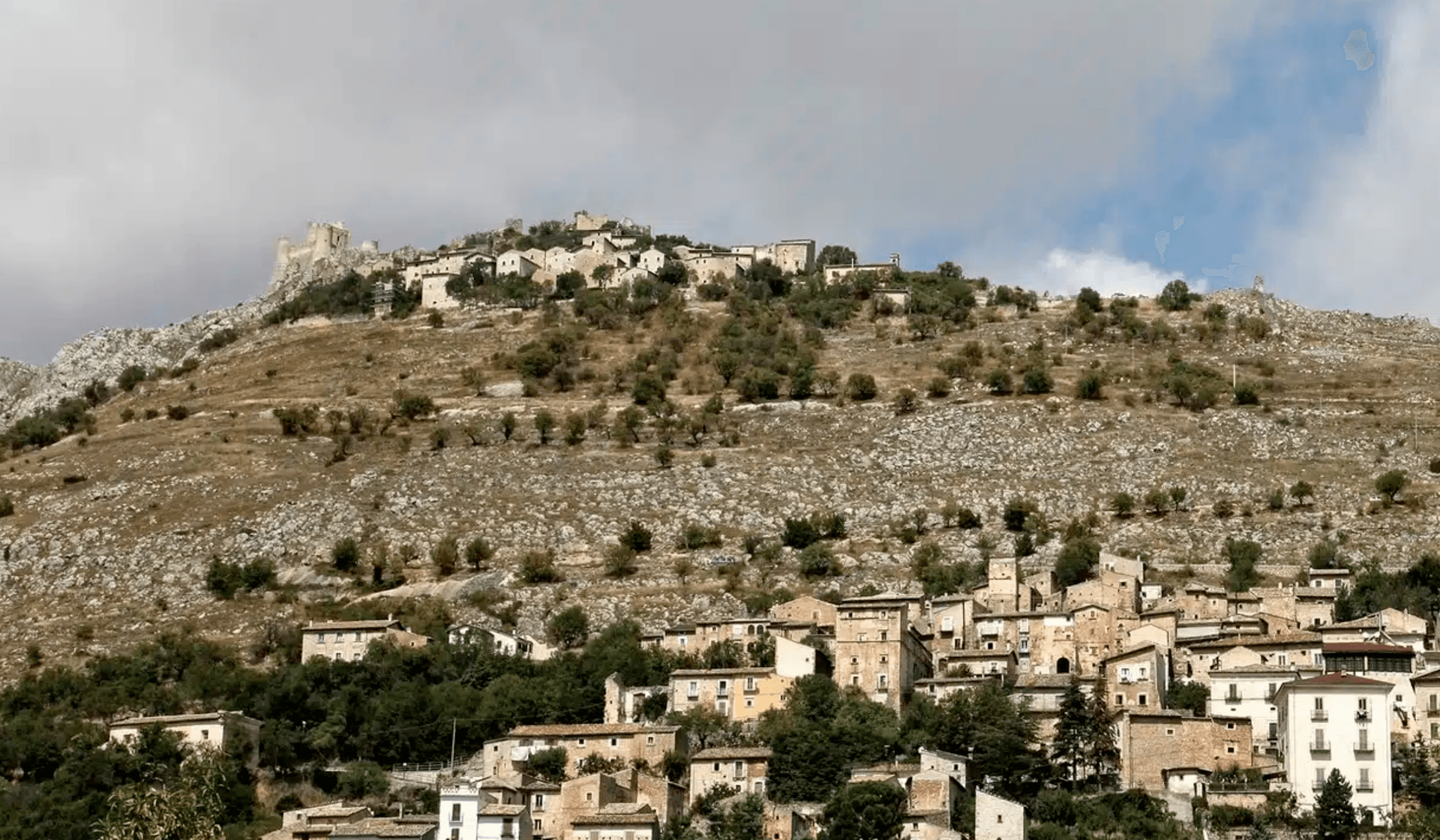
Calascio
Province: L'Aquila
At 1,200 meters under the highest castle in the Apennines, a village of 125 people that played the monk's refuge in Ladyhawke.
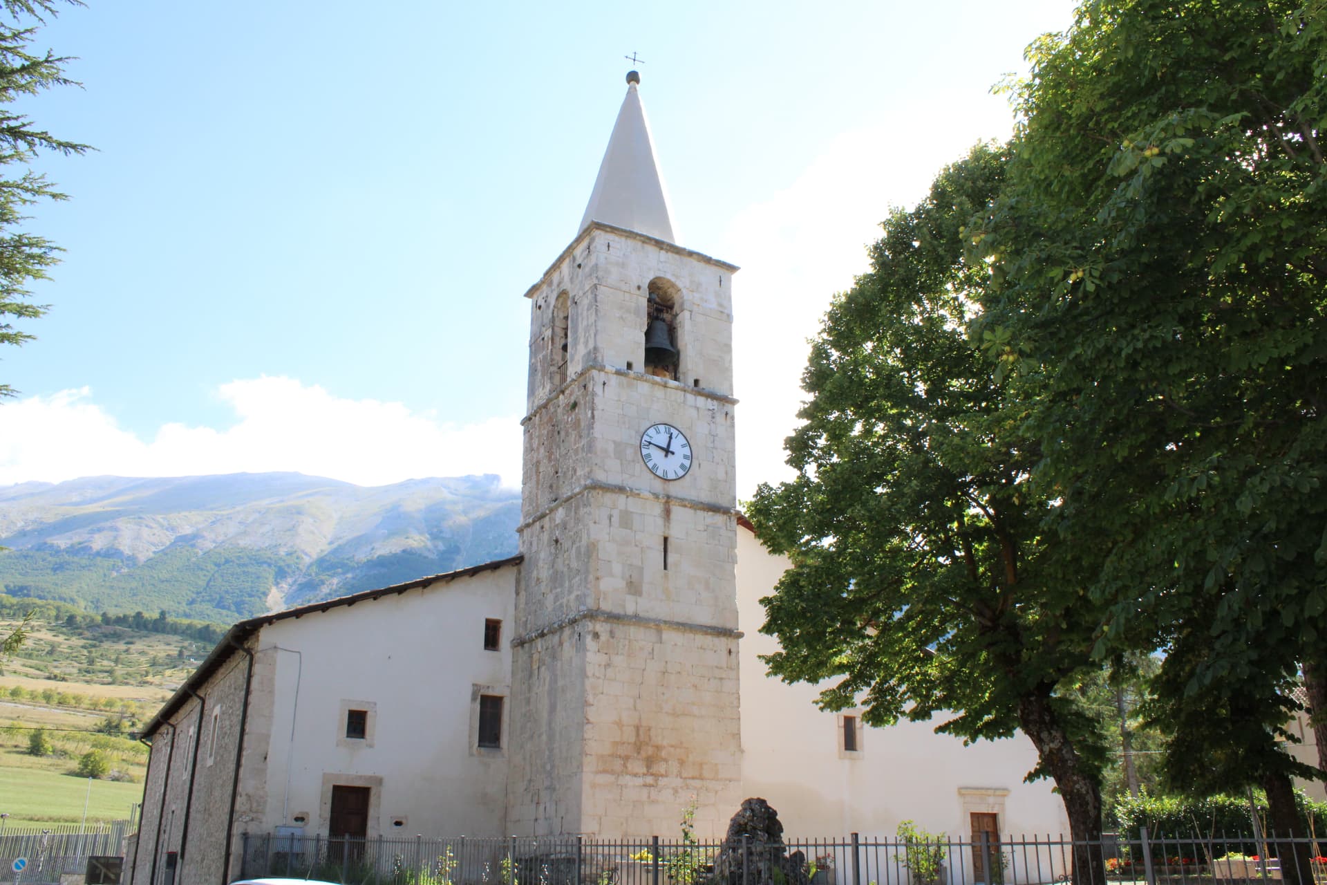
Campo di Giove
Province: L'Aquila
At 1,064 meters under the southwestern Maiella, the highest village in the park, named for a Roman temple to Jupiter.
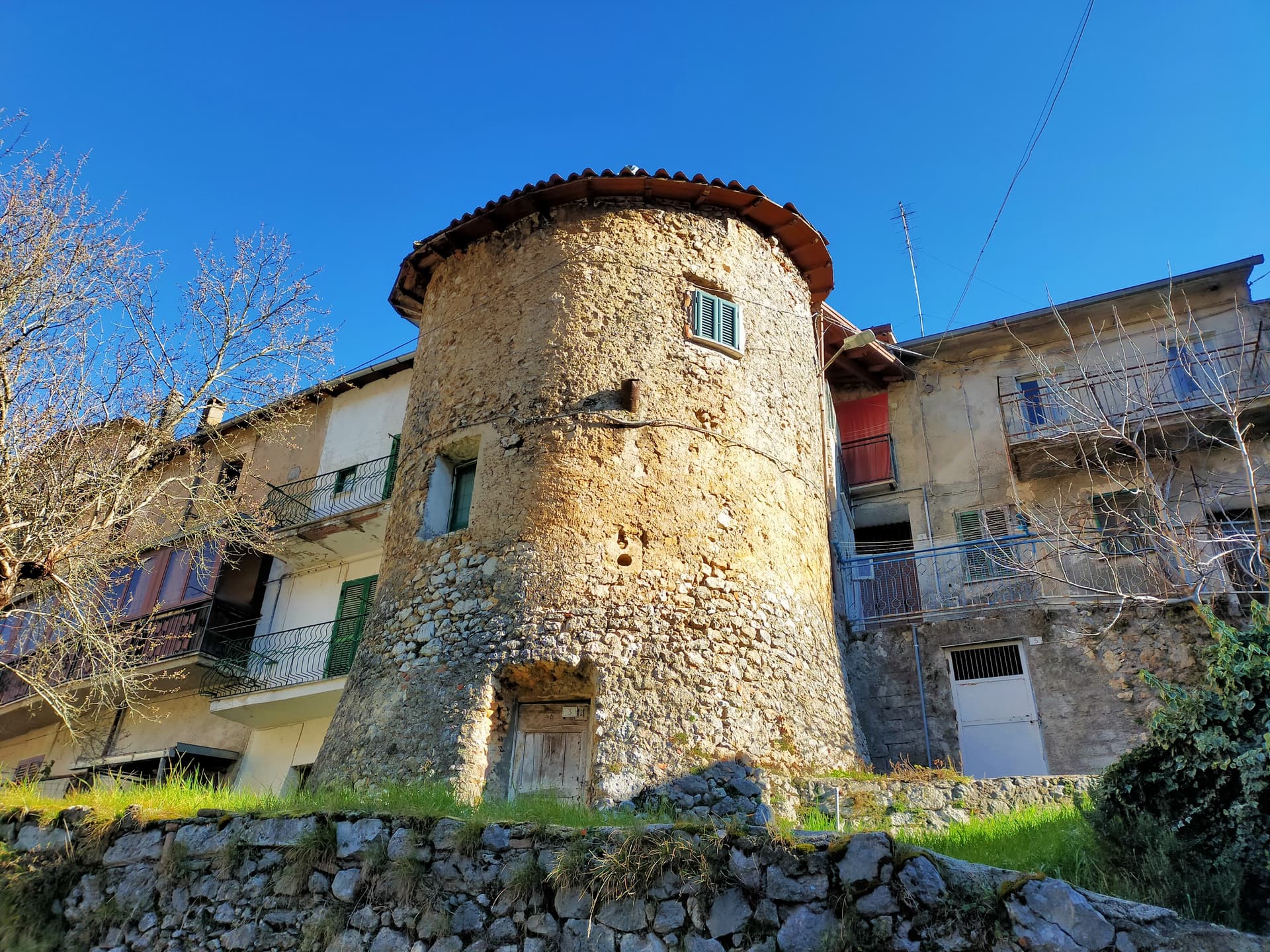
Capistrello
Province: L'Aquila
At 734 meters where the upper Liri valley meets the Marsica, the village where Emperor Claudius's 52 AD tunnel emptied a lake into a river.