

Emilia-Romagna · Forlì-Cesena
Premilcuore
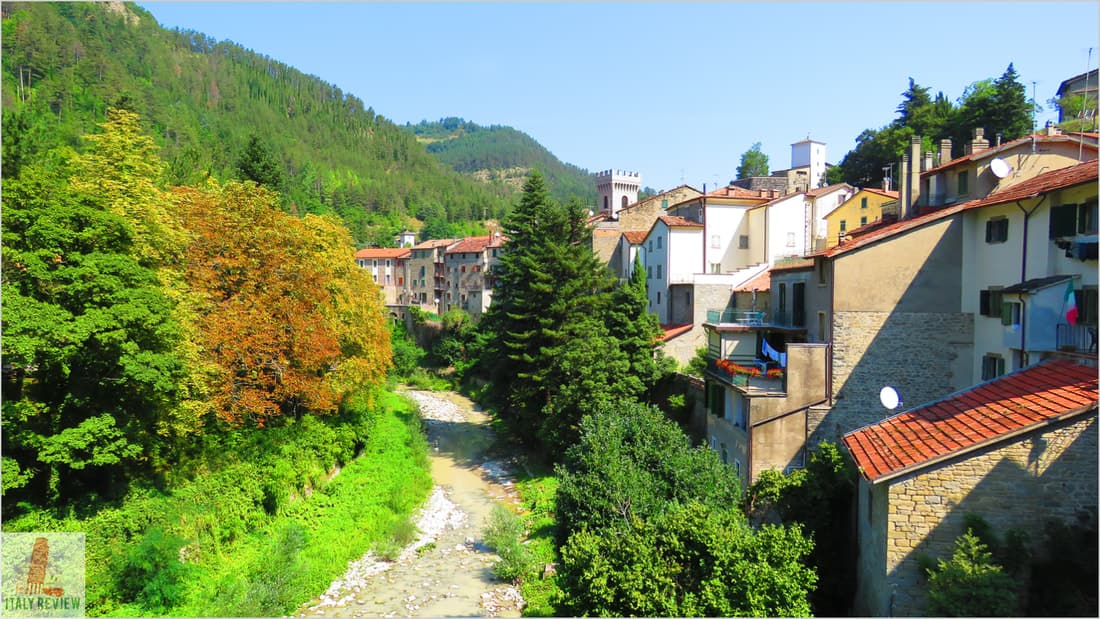
A 459-meter walled borgo on the Rabbi river, an entry point to the Foreste Casentinesi from the Romagna side.
Known for
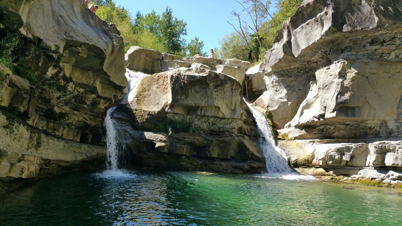
RABBI POOLS
Cold natural pools cut into sandstone by the Rabbi river below the borgo, used by residents and visitors through summer.
FOREST GATEWAY
Romagna-side entry point to the Parco Nazionale delle Foreste Casentinesi, with most of the ninety-eight square kilometers under park protection.
FLORENTINE FOR FIVE CENTURIES
Belonged to the Republic of Florence from 1375 and the Grand Duchy of Tuscany after that, only joining Romagna in 1923.
When to visit
Best · Apr–Oct
- J
- F
- M
- A
- M
- J
- J
- A
- S
- O
- N
- D
- Best
- Hot or crowded
- Quiet
- Mostly closed
The festa: Martino di Tours, domenica successiva al patrono
Why come
Premilcuore sits in the upper Rabbi valley on the Romagna-Tuscany border, fifty kilometers north of Florence and inside the Parco Nazionale delle Foreste Casentinesi. The Rocca and the medieval wall ring a centro storico of fewer than three hundred residents; the southern gate, Porta Fiorentina, still carries the marks of the 1375 surrender that put Premilcuore inside the Florentine state until 1923. The town belonged to the Guidi counts of Modigliana from 1124, then to Caterina Sforza in the 1490s, then to Florence for five centuries.
The Rabbi runs cold and clear through gorges below the borgo, with pools cut into the sandstone that the locals use through summer. The municipality covers ninety-eight square kilometers, mostly old-growth beech and silver-fir forest inside the national park, with six people per square kilometer. Bandiera Arancione recognition arrived in the 2000s.
The Sunday letter
We haven’t written Premilcuore’s letter yet.
One town every Sunday, with the photo, the food, the festa. Be there when this one comes up. Free, by Peter & Sophia from Pietrasanta.
By subscribing you agree to Substack’s Terms of Use, our Privacy Policy and our Information collection notice.
What to see
Rocca di Premilcuore
Medieval fortress at the top of the borgo, held by the Guidi counts from 1124 and later by Florence, now in partial restoration.
Porta Fiorentina
Southern gate of the walled centro storico, the surviving original entry after the demolition of the Porta di Sotto on the north side.
Chiesa di Santa Maria
Parish church inside the walls, restored after damage in the 1918 earthquake, with a Renaissance baptismal font.
Gole del Rabbi
Sandstone gorges and natural pools cut by the Rabbi river below the borgo, with marked trails along both banks.
Parco Nazionale delle Foreste Casentinesi
Old-growth beech and silver-fir forest covering most of the municipality, reached from the Rabbi valley by way of Premilcuore.
The slow-trip planner
Building a trip? Find where Premilcuore fits in a slow Italy circuit.
Answer five questions. We will shape a geographically coherent slow trip from the 1,000 Italian towns most travelers skip. Yours to save and share.
Living here
- Population 692
- Off the beaten pathi
- Pharmacy in town
- High school within a 30-minute drive
- Nearest airport Bologna, 1 h 42 min drive
- Regional capital Bologna, 1 h 44 min drive
Tags & datadesignations · numbers · sources
Recognised as
The numbers
- Elevation: 459 m
- Population: 692
- Surface area: 98.56 km²
These figures were compiled from public directories — ISTAT, OpenStreetMap, Wikidata — and from the official listings of the guides named on this page. Town details change; verify with official sources before you travel.
Close by
More towns near Premilcuore
Portico e San Benedetto
Province: Forlì-Cesena
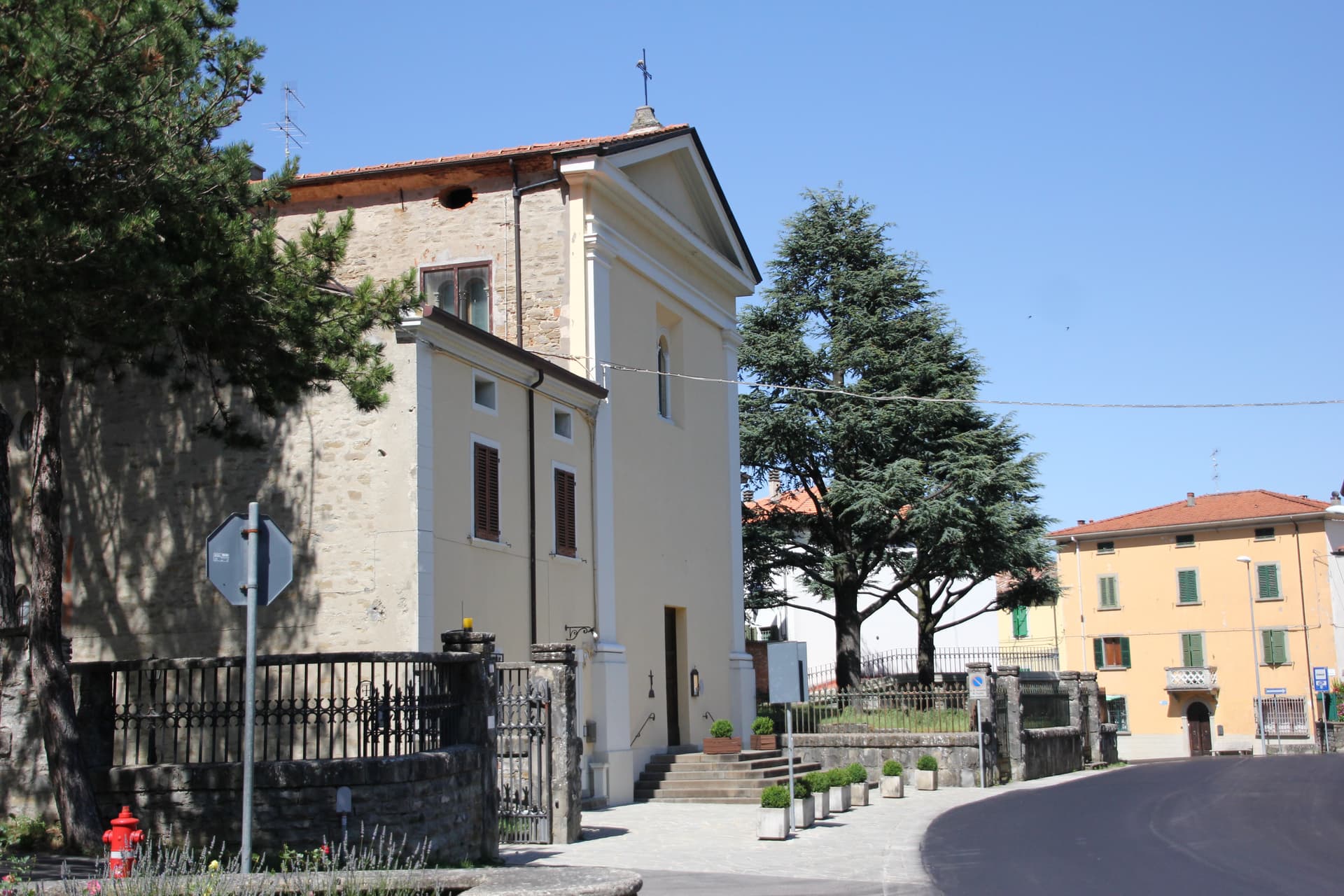
A three-tier medieval borgo at 309 meters on the Montone river, capital of Florence's Romagna territories from 1386.
Castrocaro Terme e Terra del Sole
Province: Forlì-Cesena
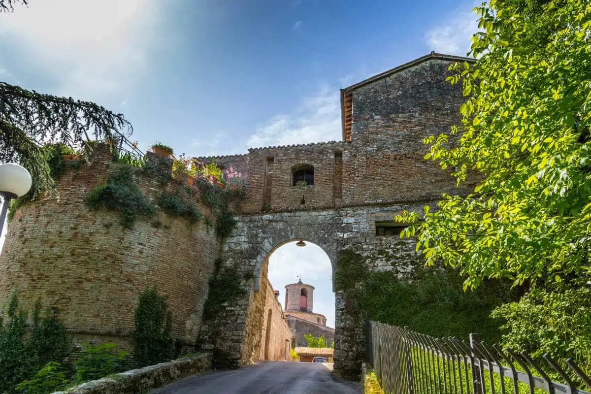
A pairing of two towns: a ninth-century fortress at Castrocaro and Cosimo I de' Medici's planned Renaissance fortress of Terra del Sole, founded 1564.
Bertinoro
Province: Forlì-Cesena
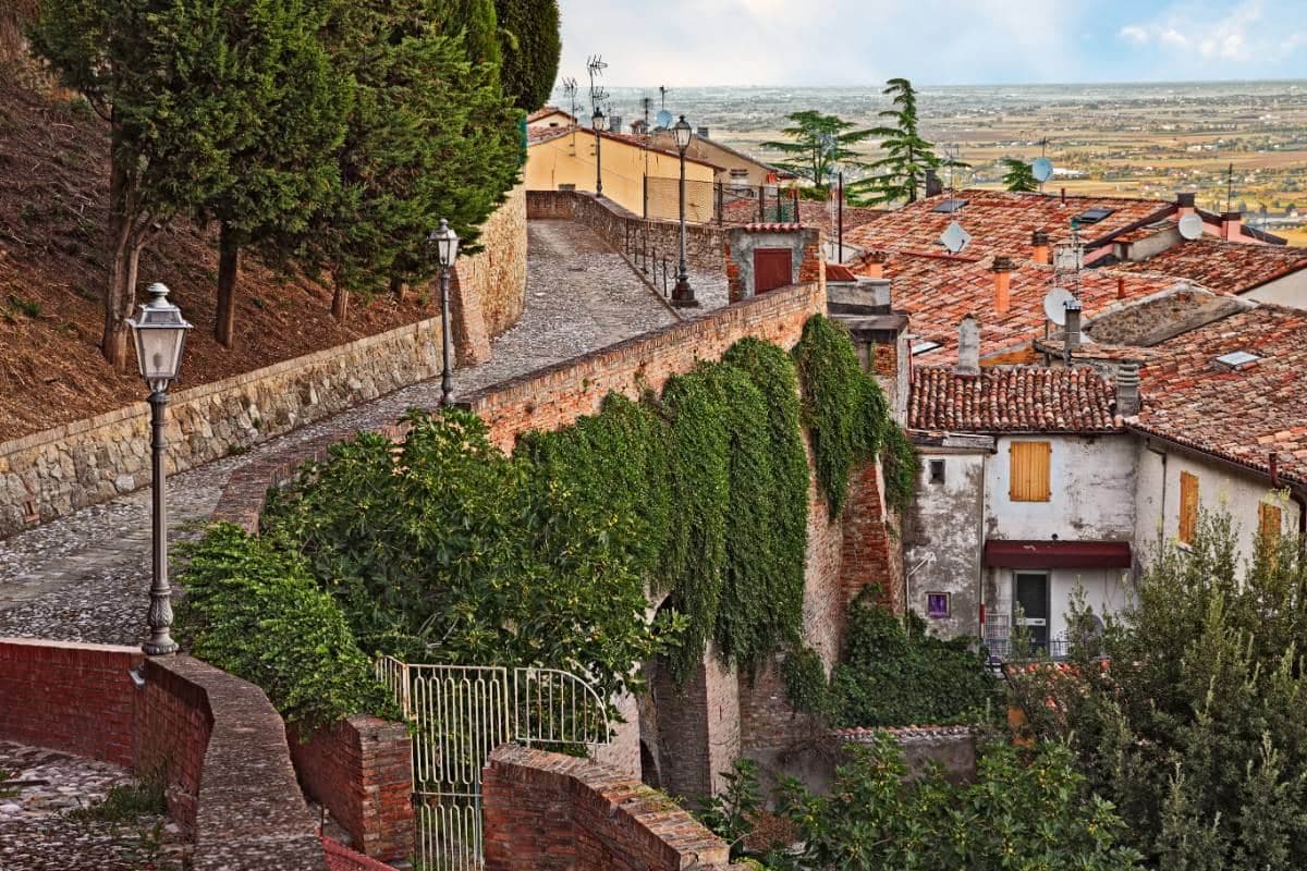
A 254-meter Romagna-hill borgo above the Via Emilia, with a twelve-ring hospitality column from 1300 and the slopes that grow Albana DOCG.
Bagno di Romagna
Province: Forlì-Cesena
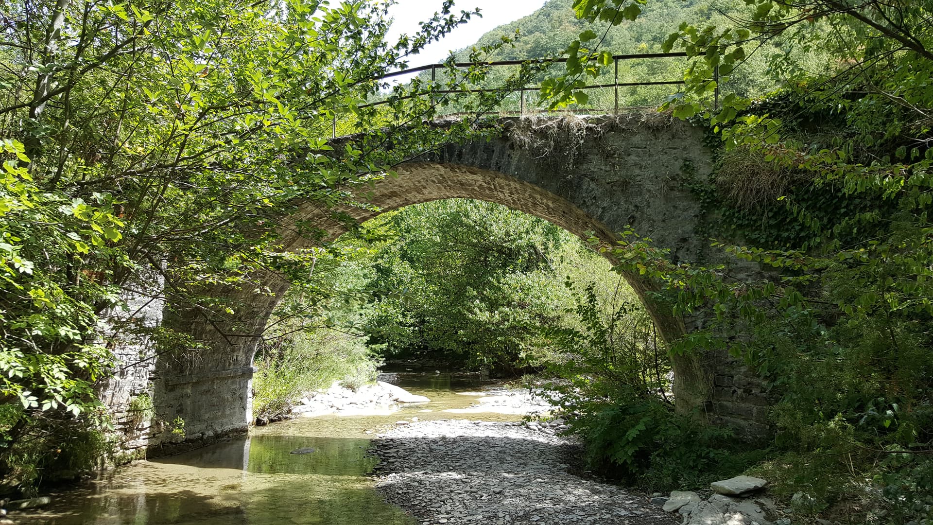
A 491-meter thermal town at the head of the Savio valley, drawing on springs that have run at 47 degrees since Roman times.
Faenza
Province: Ravenna
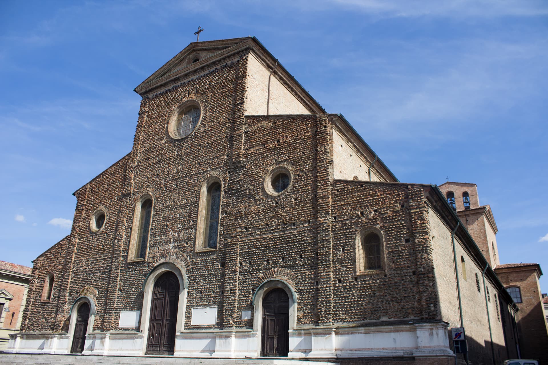
The city that gave its name to faïence, with a tin-glazed maiolica tradition since the fourteenth century and the world ceramics museum since 1908.
🟠 Bandiera Arancione
More Bandiera Arancione towns in Emilia-Romagna
Bobbio
Province: Piacenza
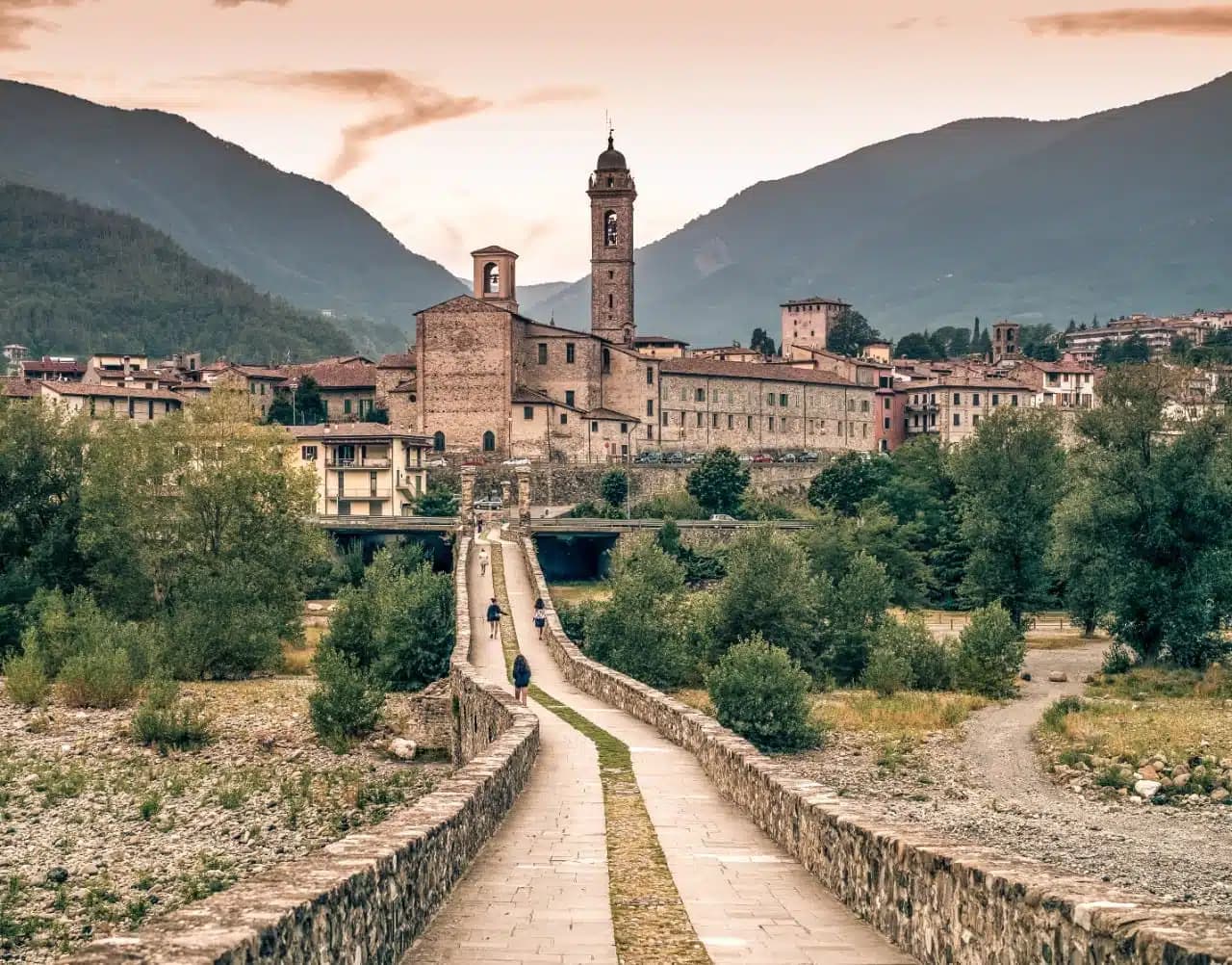
A 272-meter Trebbia-valley town built around the abbey Saint Columbanus founded in 614, named Borgo dei Borghi by RAI in 2019.
Brisighella
Province: Ravenna
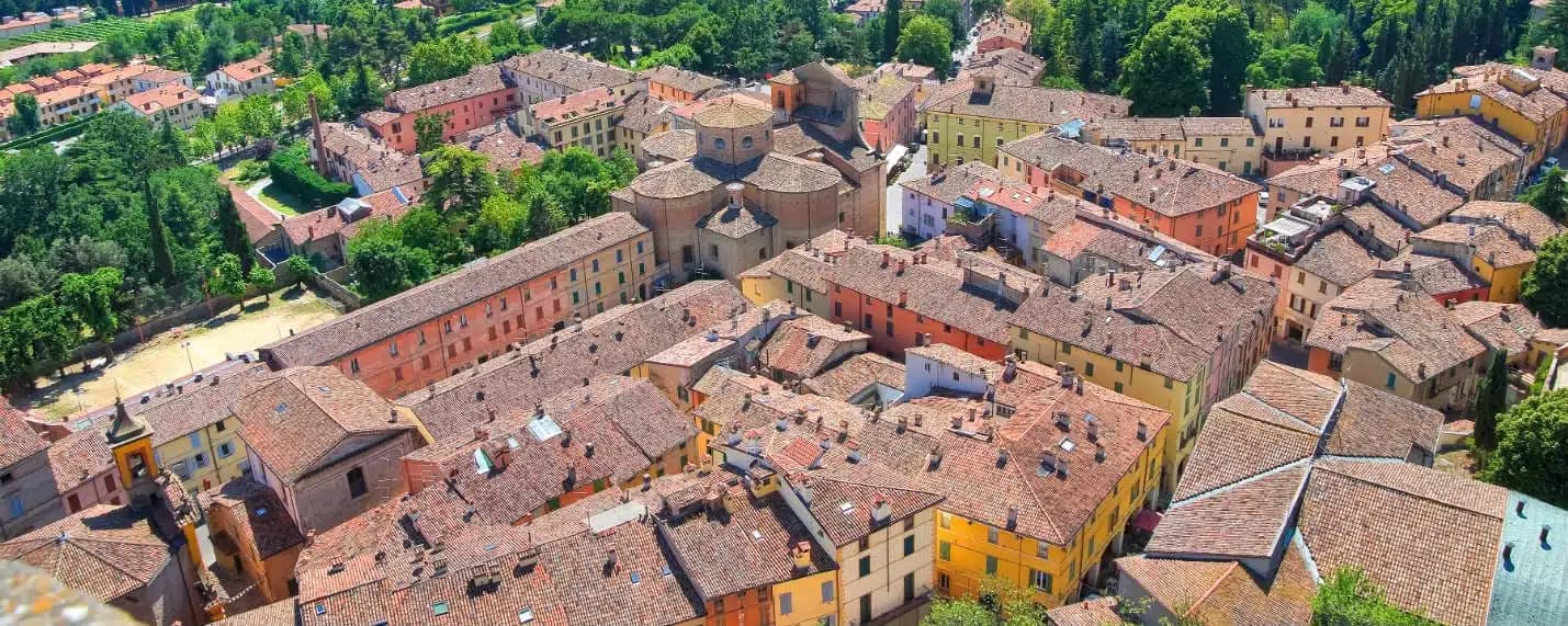
A Lamone-valley borgo at 115 meters under three selenite hills crowned by a fortress, a clock tower, and a sanctuary.
Busseto
Province: Parma
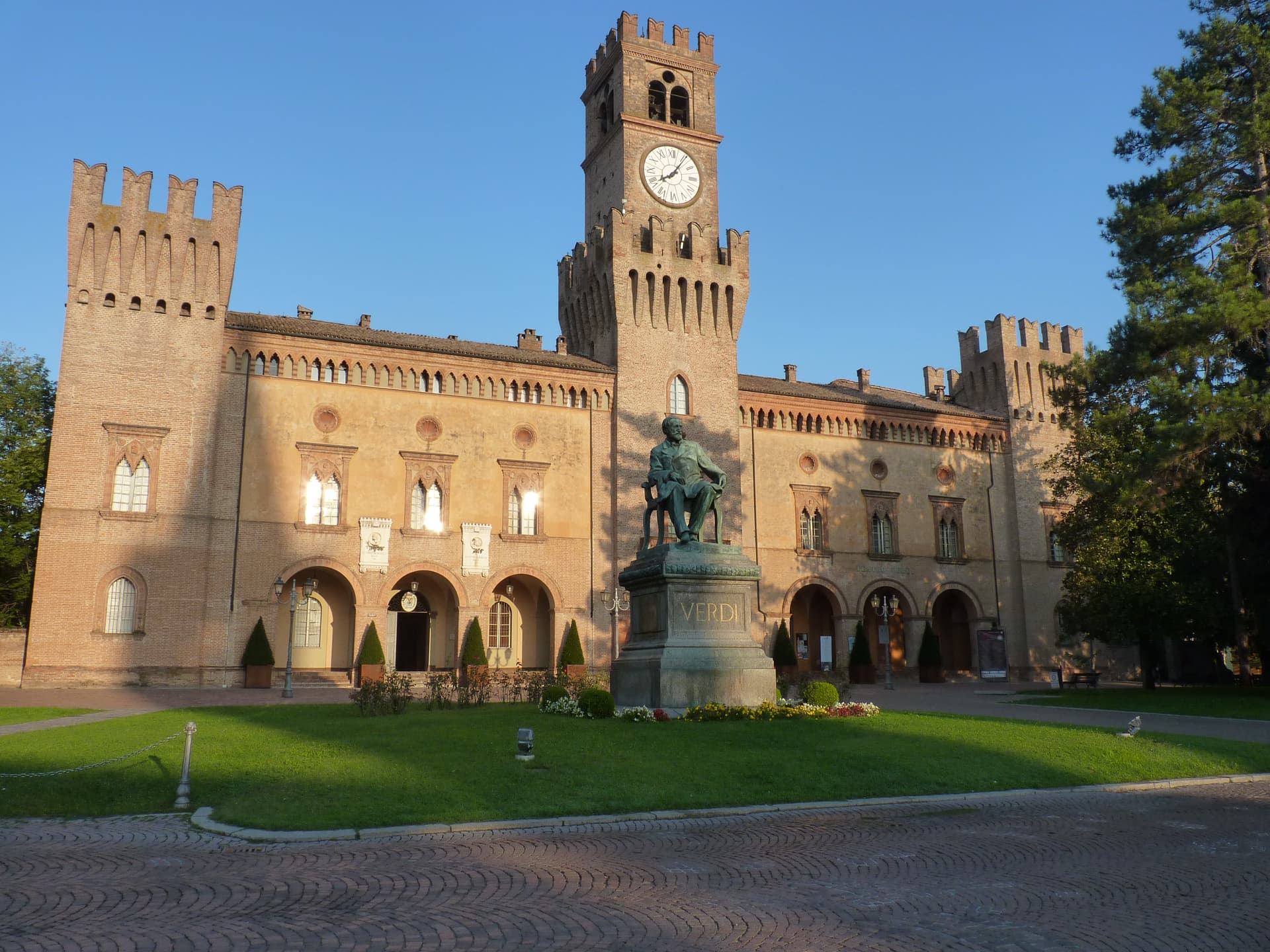
A 40-meter Bassa Parmense town where Giuseppe Verdi grew up, with a 300-seat opera house in the Rocca he refused to enter.
Castell'Arquato
Province: Piacenza
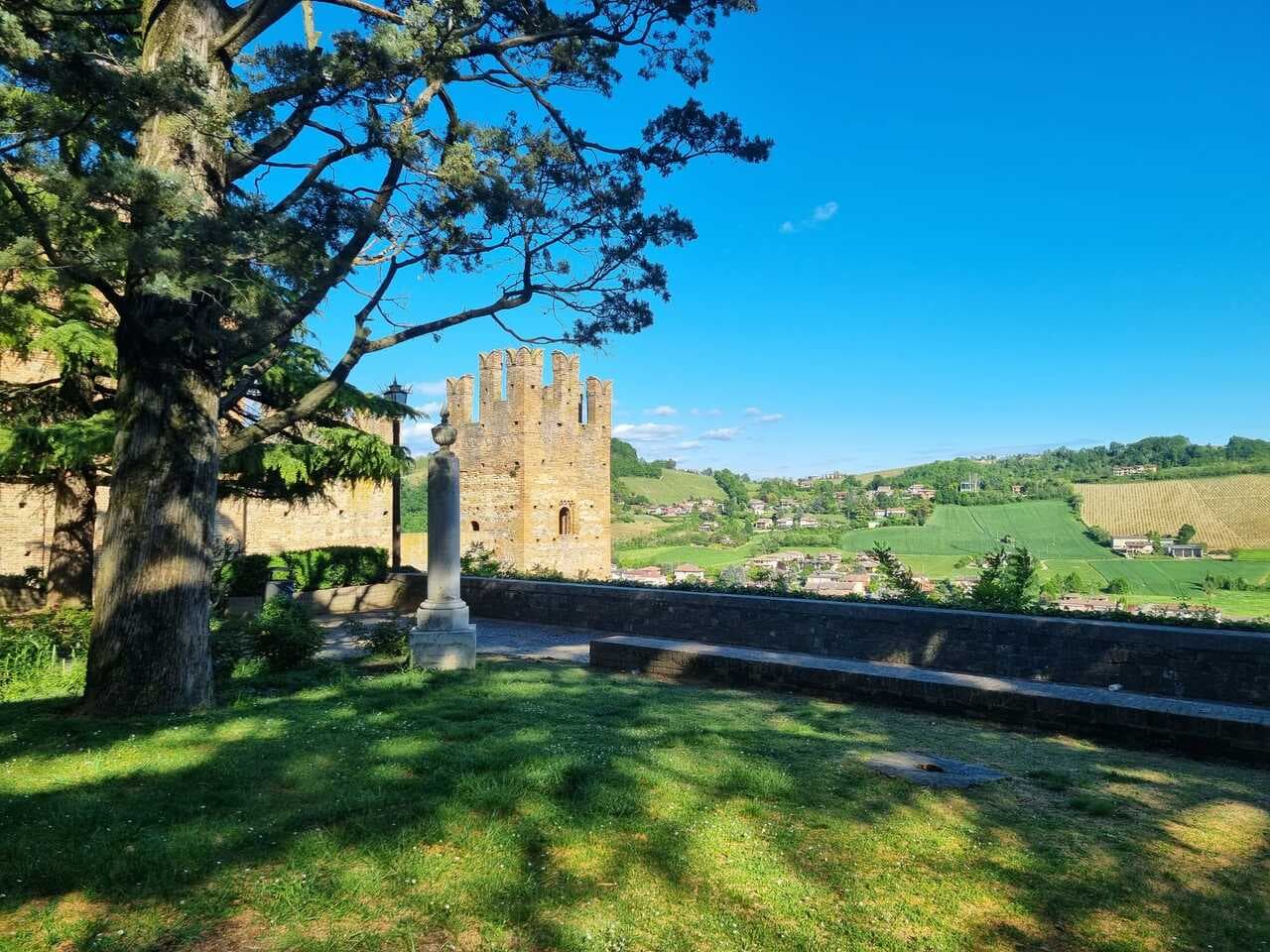
A 224-meter hilltop borgo in the Val d'Arda, kept intact since the tenth century and crowned by Luchino Visconti's 1342 fortress.
Castelvetro di Modena
Province: Modena
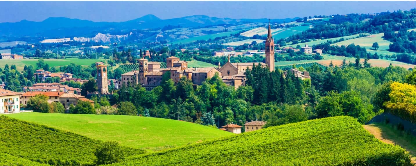
A 152-meter hill borgo south of Modena whose checkerboard piazza sits above the slopes that grow Lambrusco Grasparossa.