
Via Francigena
Via Francigena in Lazio
12 towns
Lazio has 12 Via Francigena communes in our index. They cluster in the Viterbo, Latina, and Roma provinces.
The three most recognised in our catalogue are Nemi, Acquapendente, and Sutri. 9 more towns carry the mark alongside them.
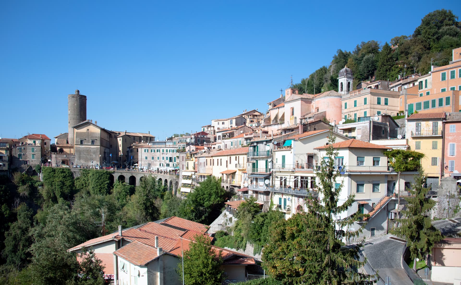
Nemi
Province: Roma · 521 m
The smallest comune in the Castelli Romani, perched at 521 meters above a volcanic crater lake the Romans called the mirror of Diana.
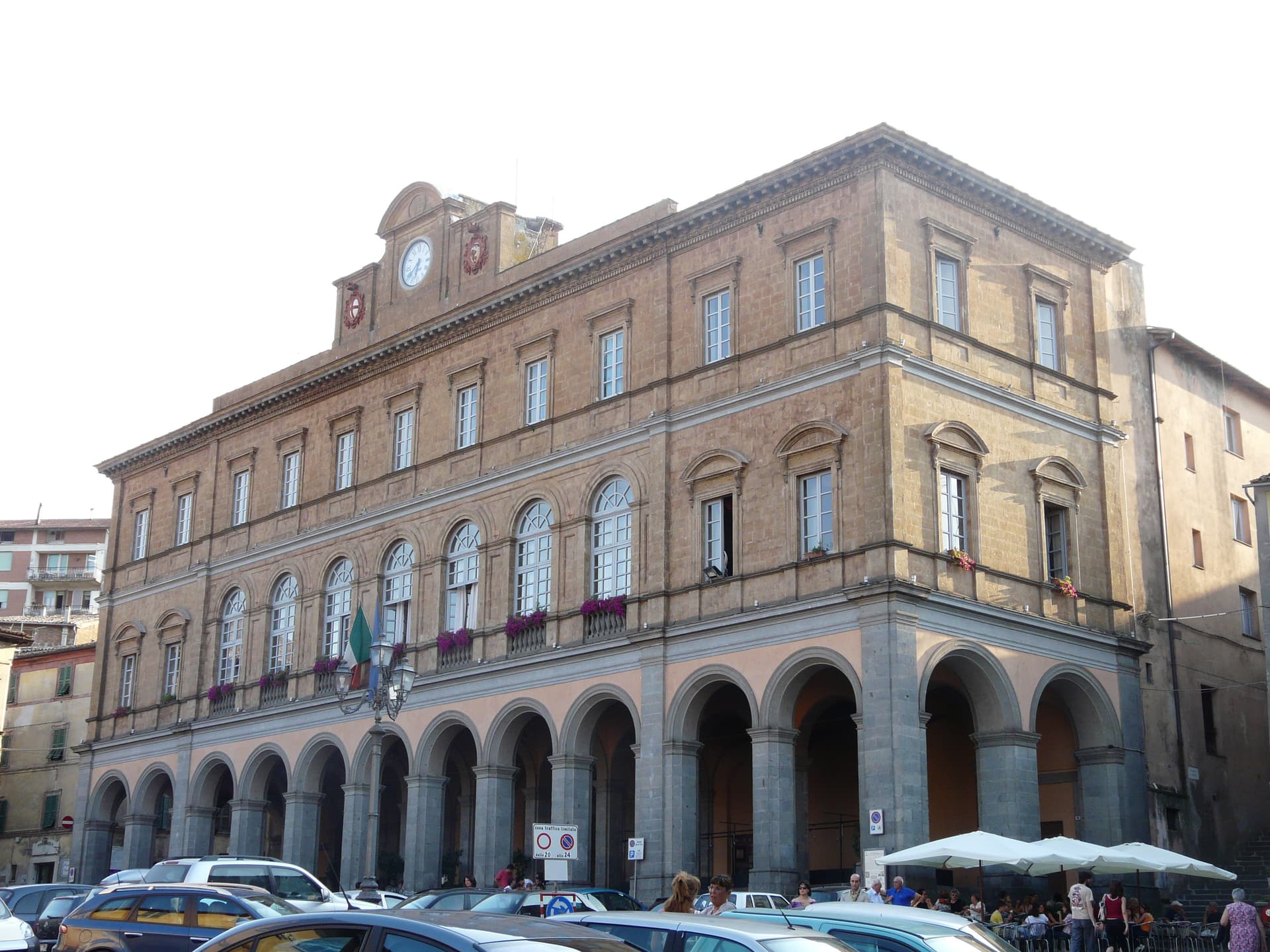
Acquapendente
Province: Viterbo · 420 m
The northernmost town in Lazio on the Via Francigena, at 420 meters above the Paglia, named in 964 for its waterfalls.
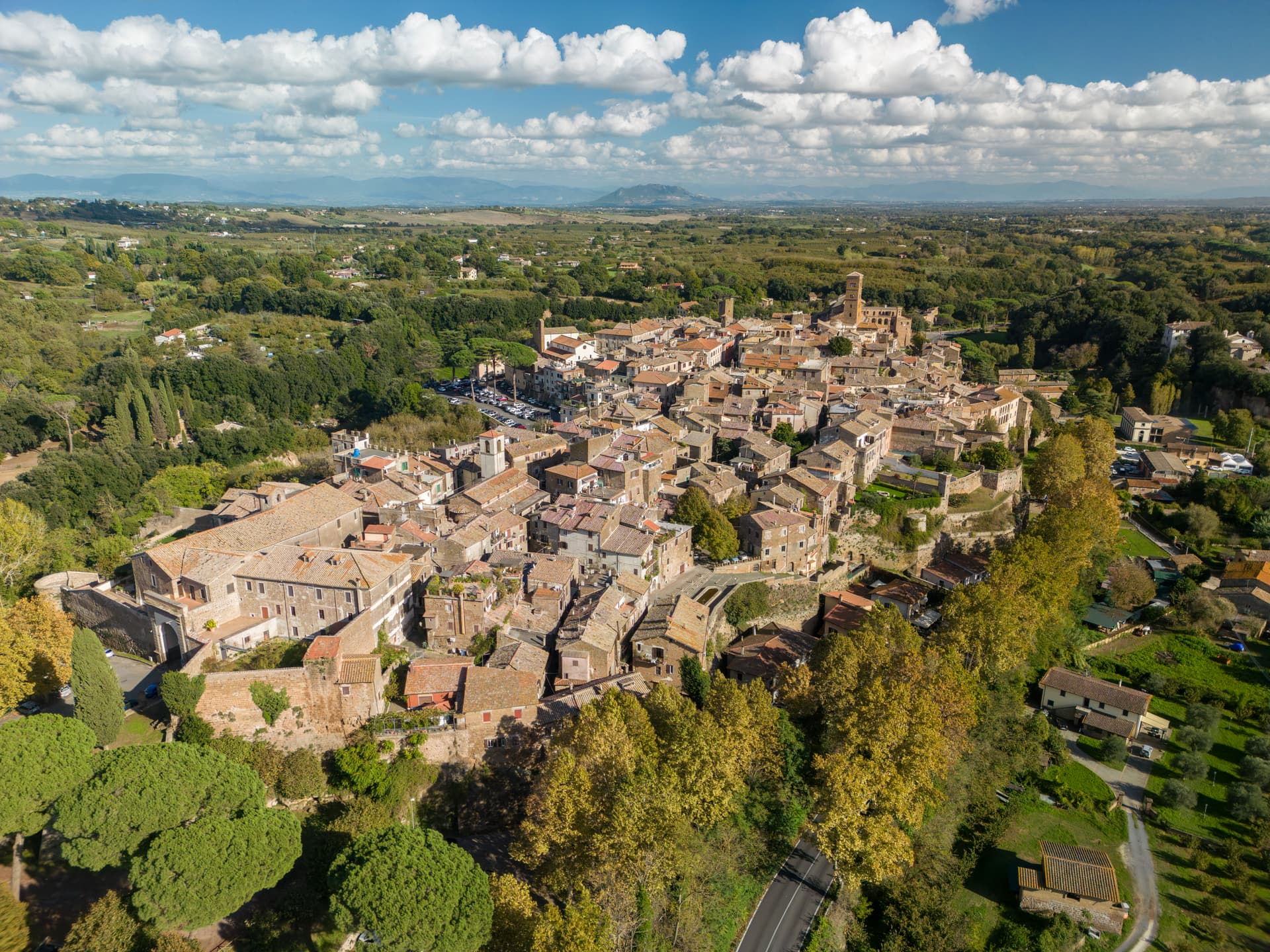
Sutri
Province: Viterbo · 291 m
An Etruscan and Roman town on a tuff spur, with a rock-cut amphitheater carved straight from the volcanic stone of the Cimini.
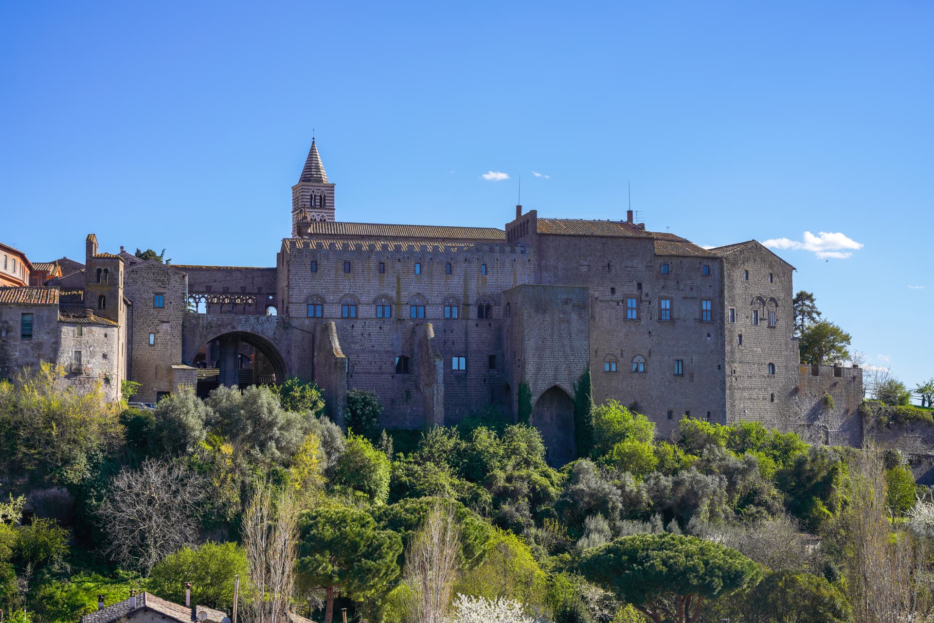
Viterbo
Province: Viterbo · 326 m
The medieval capital of the Tuscia, papal seat for five popes between 1257 and 1281 and home to the longest conclave in Church history.
Minturno
Province: Latina · 140 m
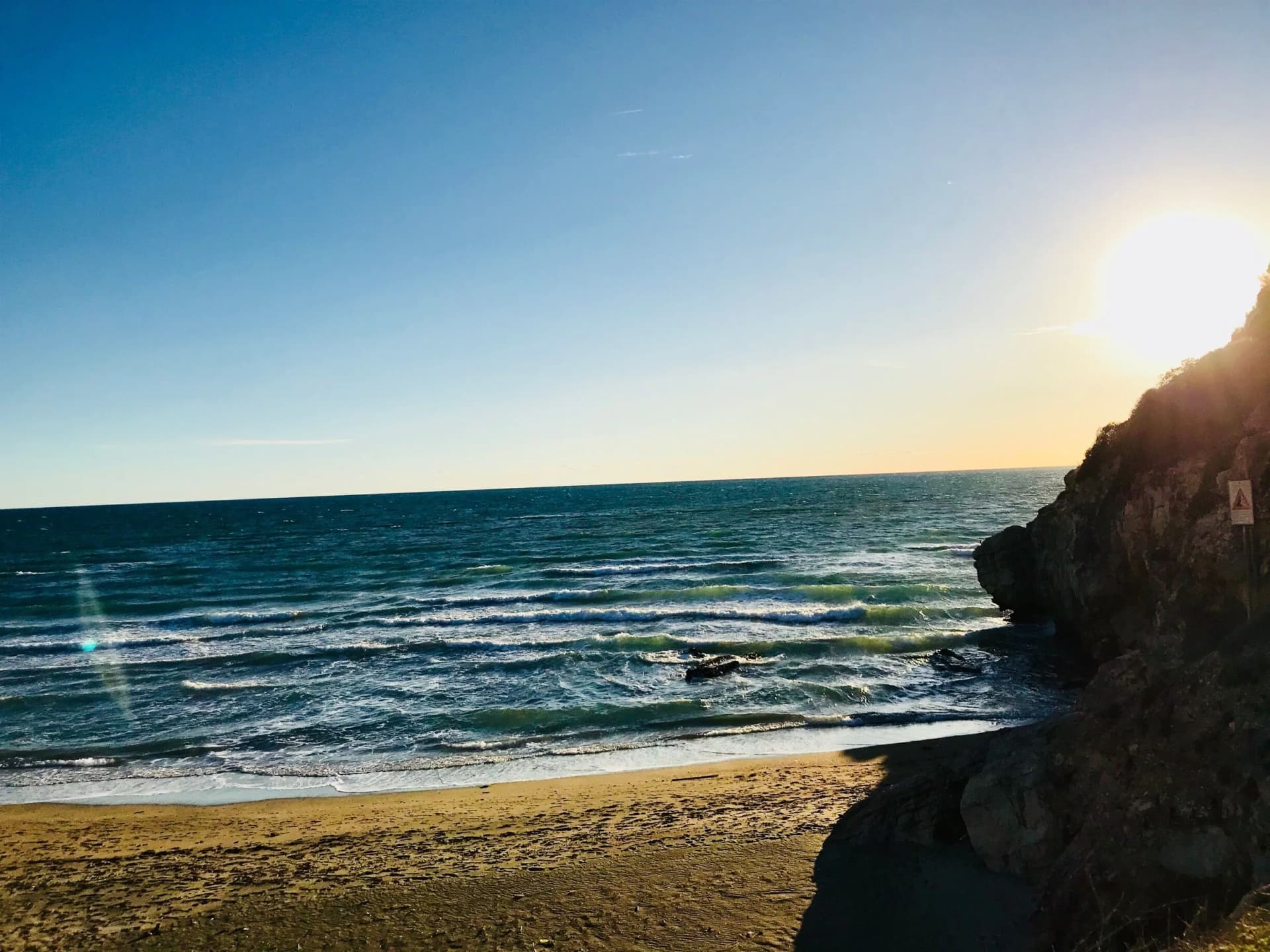
A coastal comune at the mouth of the Garigliano, built on the Roman colony of Minturnae, five-time Bandiera Blu through Scauri and Marina.
Terracina
Province: Latina · 24 m
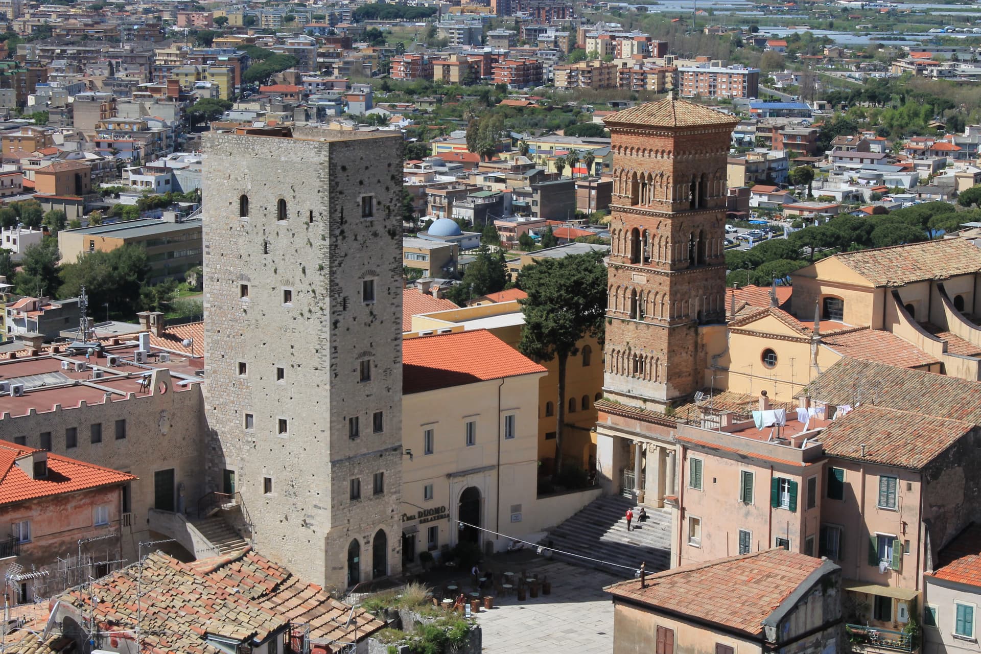
The Volscian Anxur on the Via Appia, where Jupiter's temple sits 227 meters above a port Trajan cleared through stone.
Bolsena
Province: Viterbo · 350 m
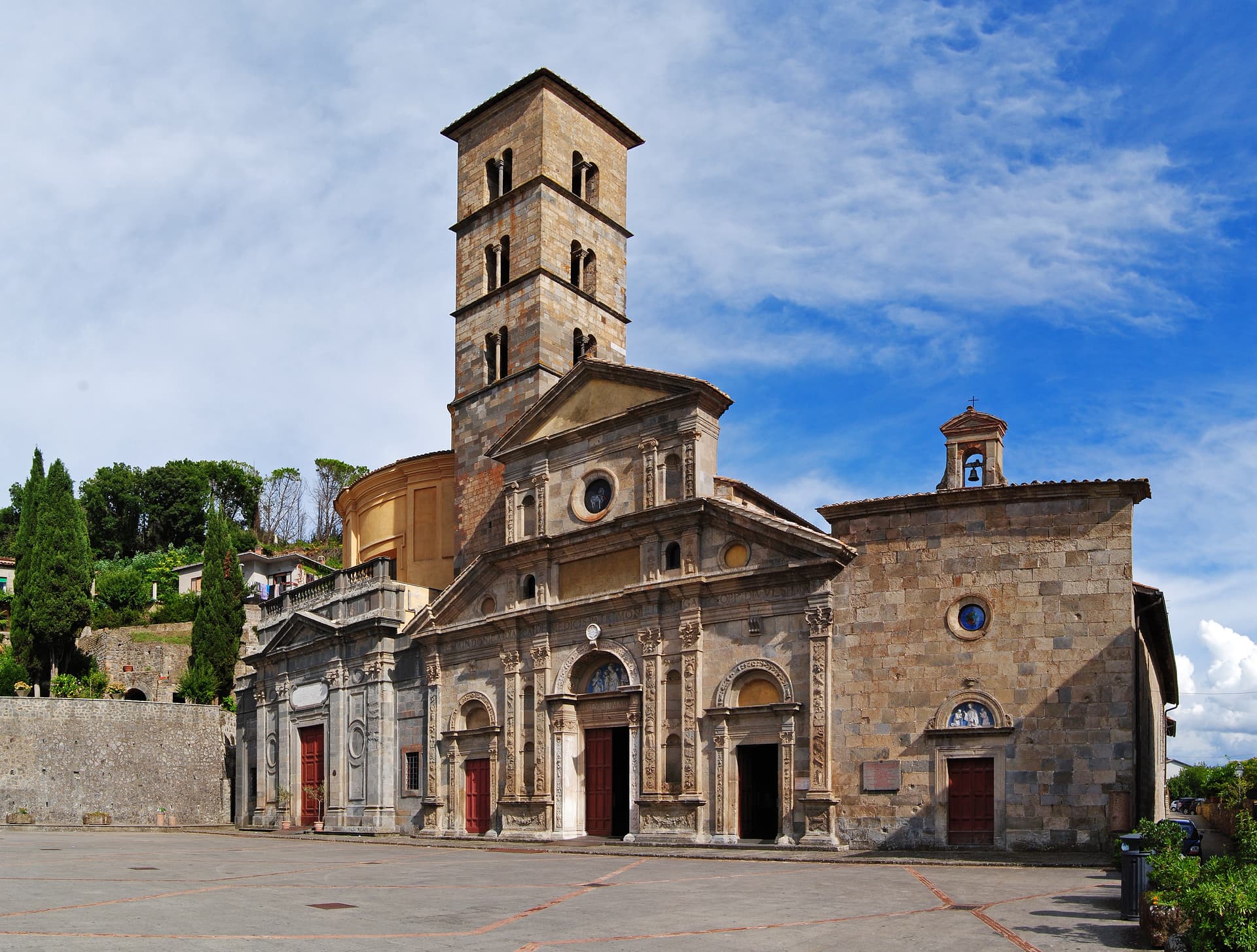
A medieval town at 350 meters on the eastern shore of Europe's largest volcanic lake, where a Bohemian priest reported a Eucharistic miracle in 1263.
Capranica
Province: Viterbo · 370 m
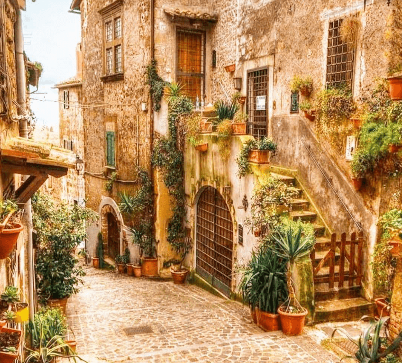
A medieval hill town on the old Via Cassia, taken by the Anguillara family in 1305 and remembered as the place Petrarch stayed in 1337.
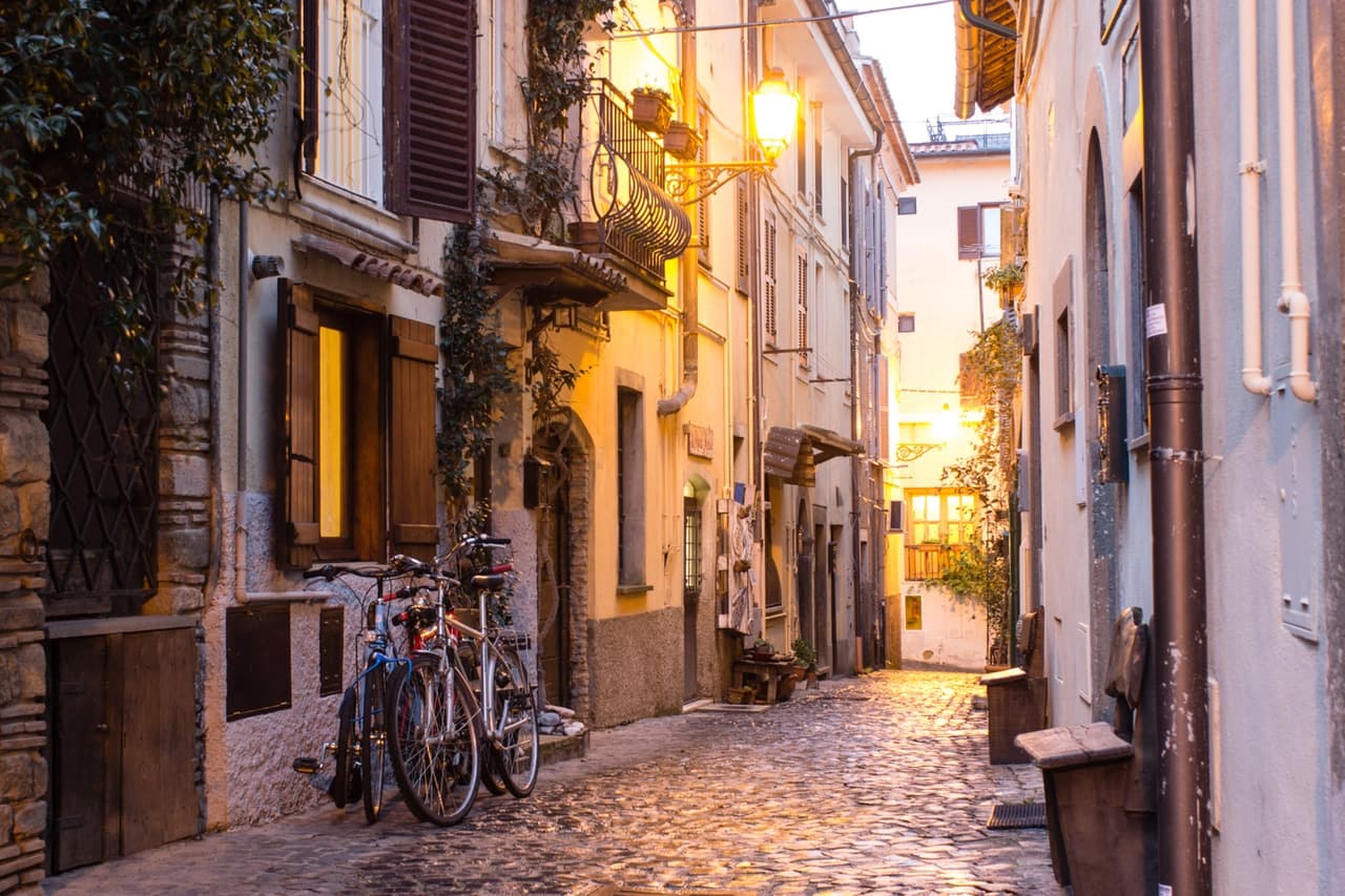
Castel Gandolfo
Province: Roma · 426 m
A papal town on the rim of Lake Albano's volcanic crater, summer residence of the popes since 1626 in the Castelli Romani.
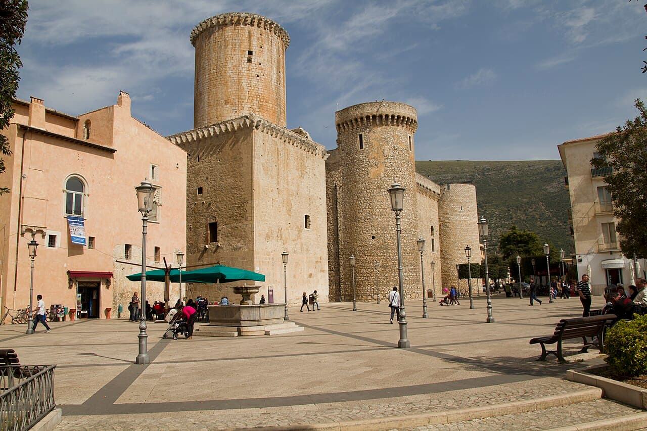
Fondi
Province: Latina · 9 m
The plain town between the Ausoni and Aurunci mountains where the Caetani built a castle in the middle of farmland instead of on a hill.
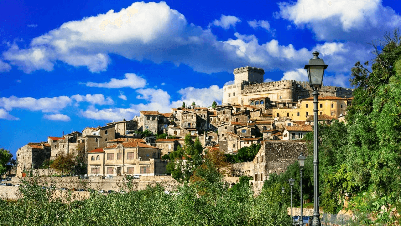
Sermoneta
Province: Latina · 257 m
A walled medieval town on a Lepini spur above the Pontine Plain, the Caetani stronghold whose 42-meter Maschio has stood since 1297.
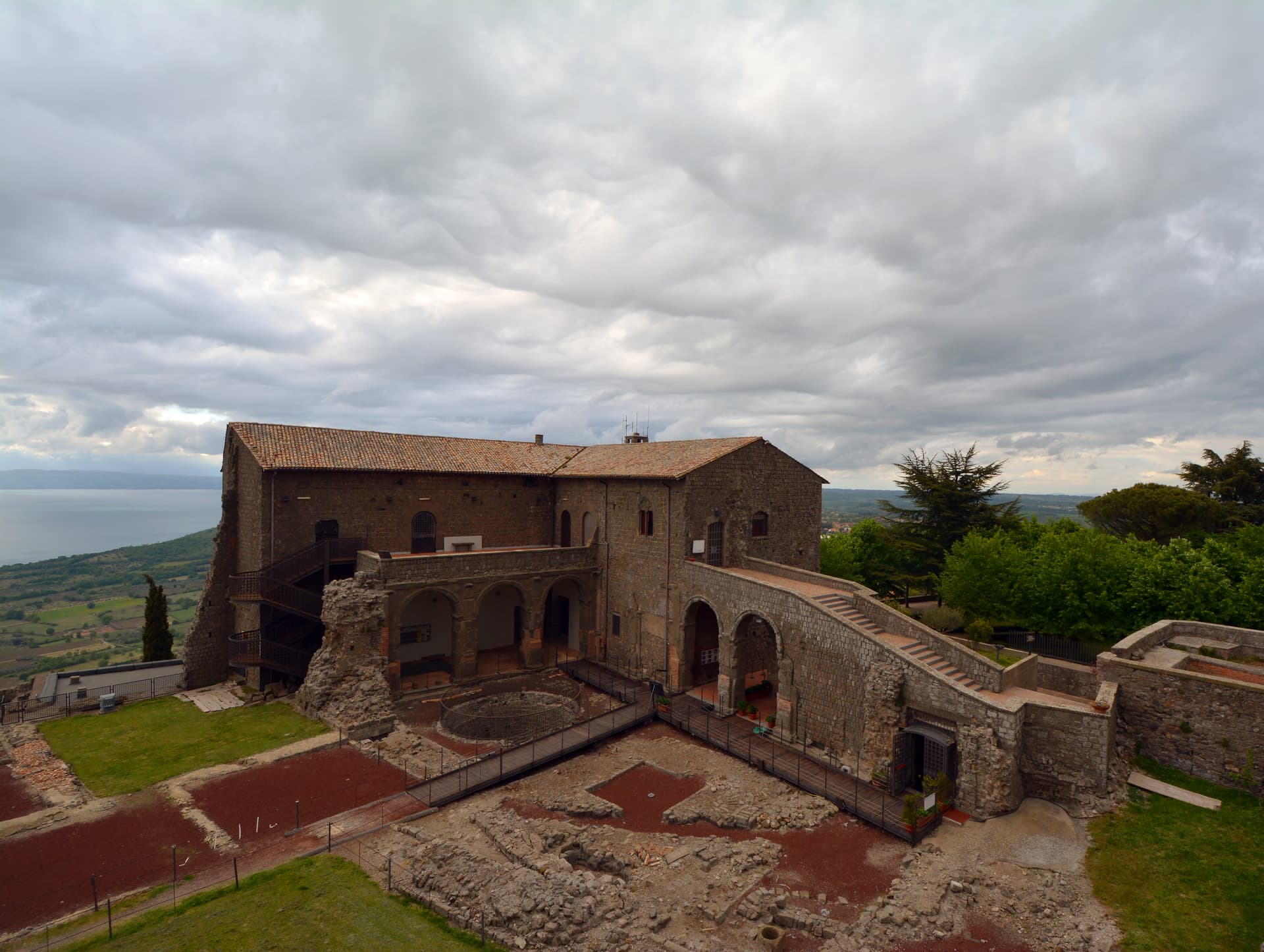
Montefiascone
Province: Viterbo · 590 m
A 590-meter hill town on the southeastern rim of Lake Bolsena, the source of Est! Est!! Est!!! and a Via Francigena stop.
Subscribe — free
Get the best guides on hidden Italian towns.
One letter on Sundays. The week’s town, with the photo, the food, the festa. Free, by Peter & Sophia from Pietrasanta.
Substack sends a confirmation link to your inbox. The signup finishes when it’s clicked.
From elsewhere in Italy
Five more towns to discover
Putignano
Province: Bari
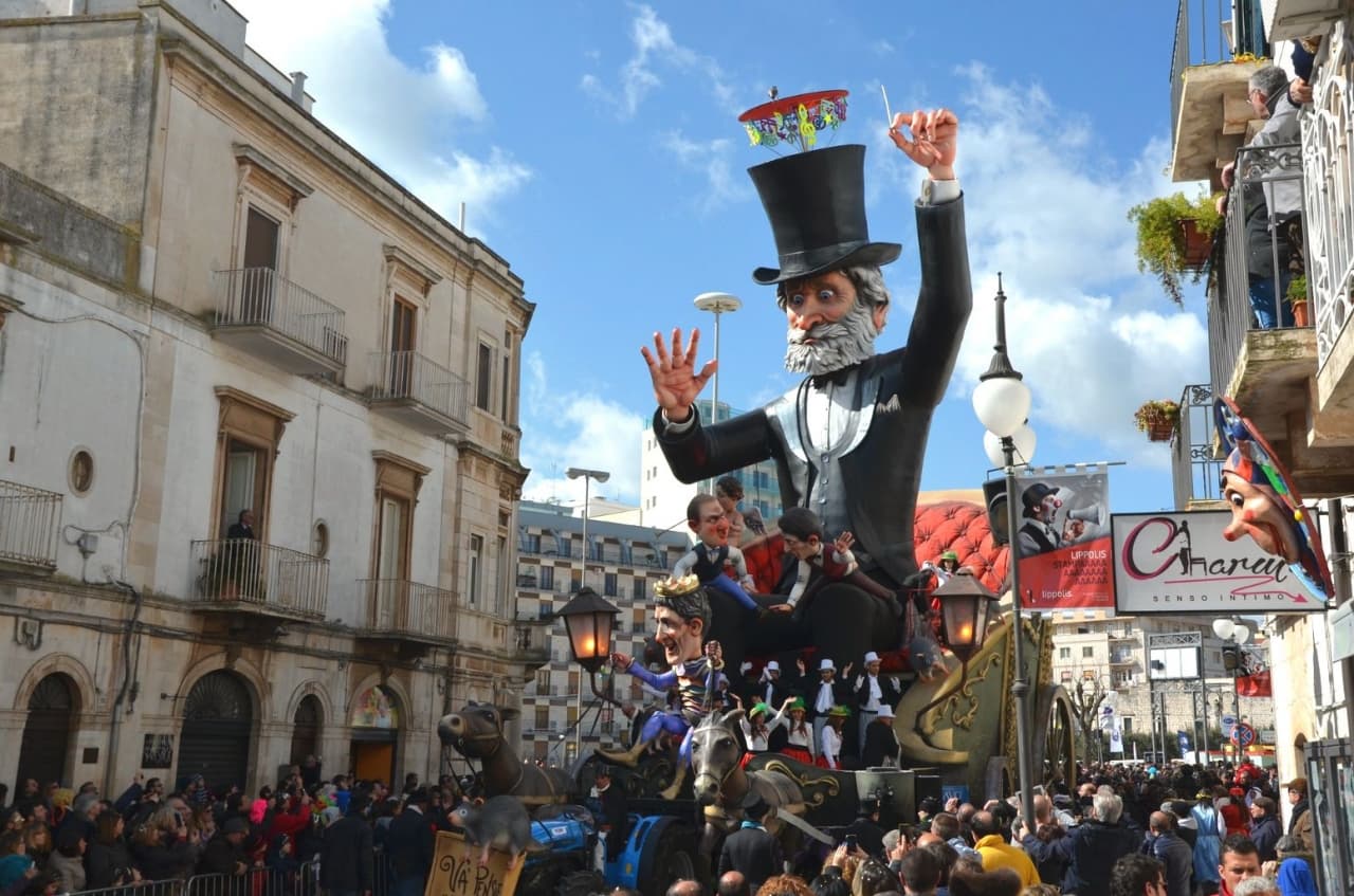
Europe's longest-running carnival — Putignano Carnevale has run continuously since 1394, with 631 years of cartapesta papier-mâché floats, a 26,000-resident Murgia town on the Bari–Lecce plateau, and the Grotta del Trullo karst cave inside the centro.

Pistoia
Province: Pistoia
Italy's nursery capital and the medieval Tuscan rival that gave its name to the pistol — a quietly extraordinary centro storico of zebra-striped Romanesque churches, Andrea della Robbia's polychrome frieze on the Ospedale del Ceppo, and Italy's Capital of Culture 2017, all 30 minutes from Florence by train.
Tropea
Province: Vibo Valentia
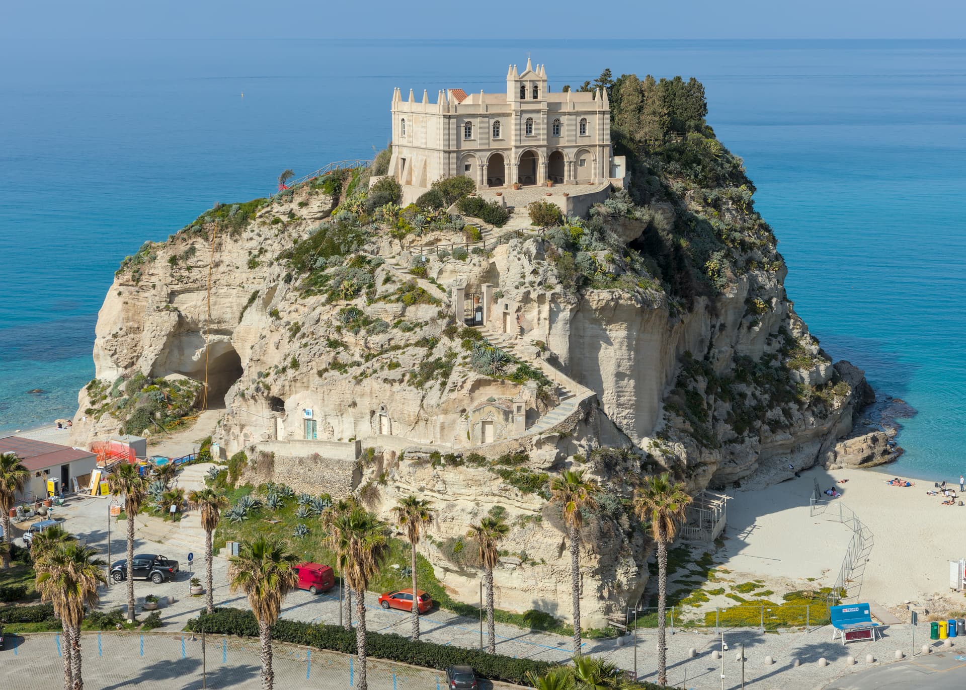
Cliff town on a tufa headland over the Tyrrhenian Coast of the Gods, with a Norman monastery on a sea rock.
Caldes
Province: Trento
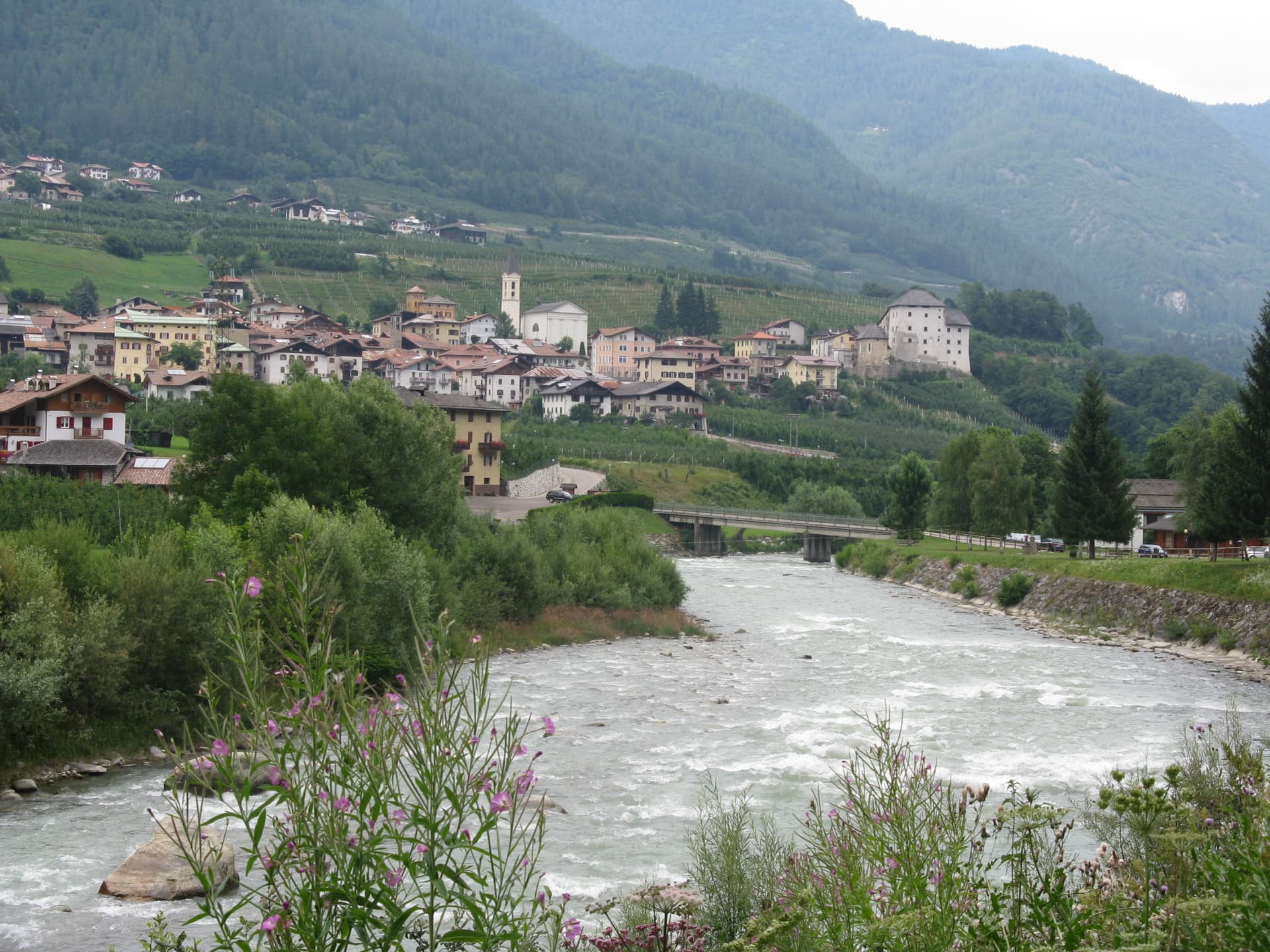
A scattered Val di Sole commune on the Noce, six hamlets gathered around a thirteenth-century tower-house castle that once belonged to the Thun family.
Cantiano
Province: Pesaro e Urbino
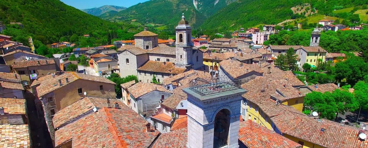
A border borgo at 374 meters under Monte Catria on the old Via Flaminia, known for the Good Friday Turba and the sour-cherry visciola harvest.