
Tuscany · Siena
Cetona
A medieval borgo below Monte Cetona, sold by Cosimo I to the Vitelli in 1556 and the centro storico still shaped by their fortress reconstruction.
Known for
VITELLI
Marchese Chiappino Vitelli bought the town from Cosimo I in 1556 and reshaped it around the Renaissance Piazza Garibaldi at the foot of the medieval grid.
MONTE CETONA
1,148-meter ridge above the borgo, dividing the Val d'Orcia from the Val di Chiana, with Paleolithic caves on the southwestern flank.
BELVERDE
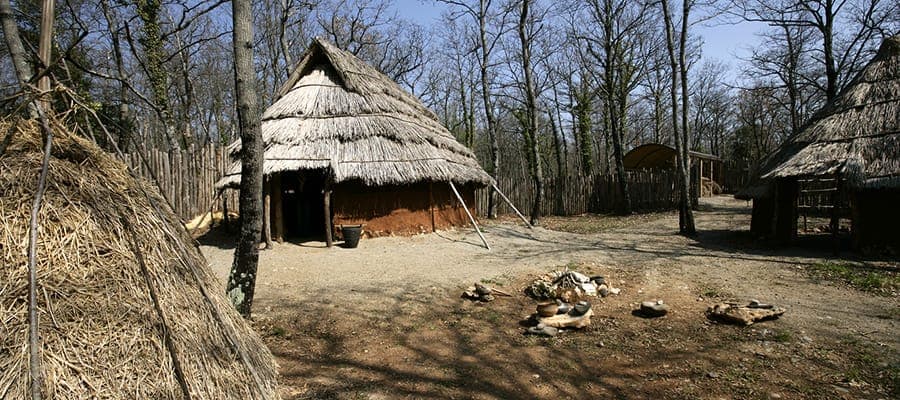
Cave complex on Monte Cetona with Mesolithic, Neolithic and Bronze Age occupation, and a hermitage with Cola Petruccioli frescoes nearby.
When to visit
Best · Apr–Oct
- J
- F
- M
- A
- M
- J
- J
- A
- S
- O
- N
- D
- Best
- Hot or crowded
- Quiet
- Mostly closed
The festa: Stefano, 26 December
Why come
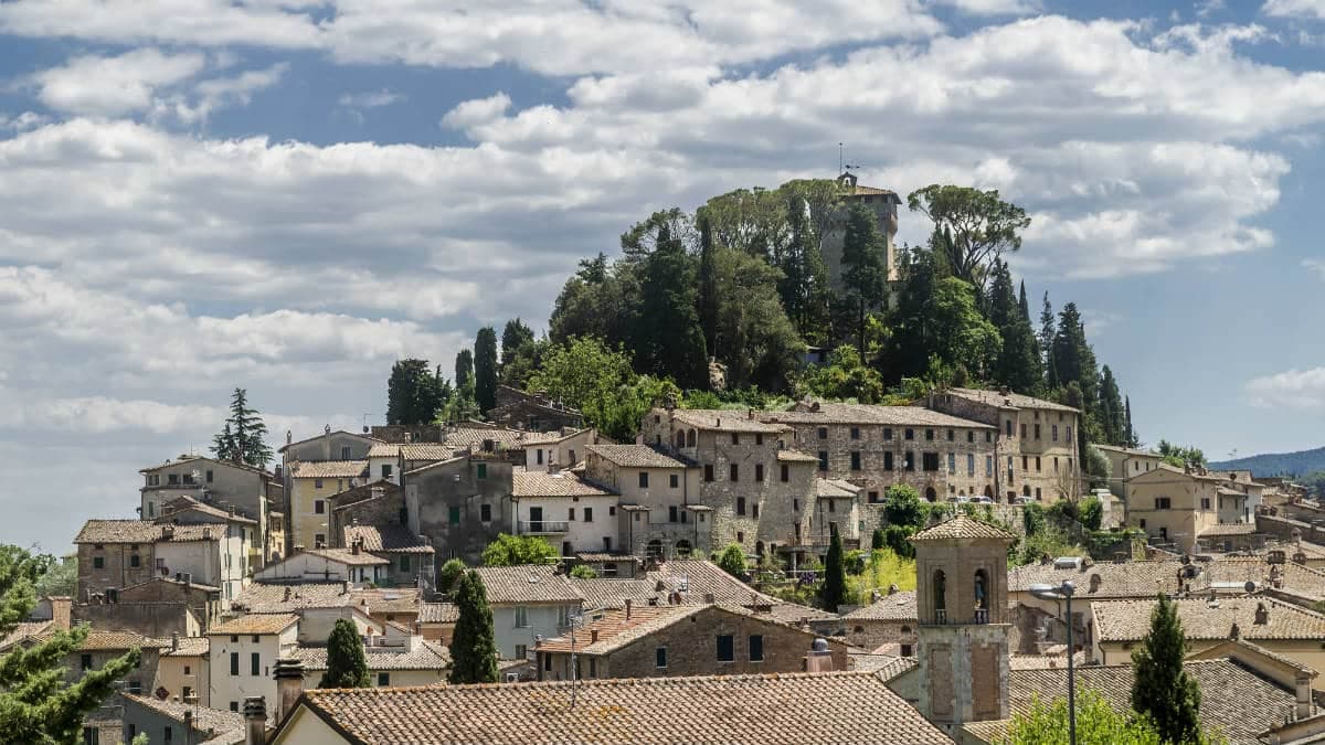
Cetona sits on the western flank of Monte Cetona, the 1,148-meter ridge that separates the Val d'Orcia from the Val di Chiana at the meeting point of Toscana, Umbria and Lazio. Paleolithic and Neolithic finds in the Belverde caves on the mountain confirm continuous human use since the Mesolithic. The medieval comune was alternatingly ruled by Siena, Orvieto and Perugia before passing to Siena in the late fourteenth century.
In 1556, Cosimo I de' Medici sold the town to Marchese Chiappino Vitelli, who turned the medieval fortress at the top of the borgo into a private residence and laid out the elegant Piazza Garibaldi below. That Renaissance urban gesture, a flat civic stage at the foot of a steep medieval grid, is what most visitors notice first. The Convento di San Francesco has stood since 1212 and the Eremo di Santa Maria a Belverde, in the woods above the town, holds fourteenth-century frescoes by Cola Petruccioli of Orvieto.
The Sunday letter
We haven’t written Cetona’s letter yet.
One town every Sunday, with the photo, the food, the festa. Be there when this one comes up. Free, by Peter & Sophia from Pietrasanta.
By subscribing you agree to Substack’s Terms of Use, our Privacy Policy and our Information collection notice.
What to see
Piazza Garibaldi
Sixteenth-century elliptical square laid out by Chiappino Vitelli at the foot of the medieval grid, the civic stage of the borgo.
Rocca di Cetona
Medieval fortress at the top of the centro storico, converted to a private Vitelli residence in 1556, with surviving walls and the keep.
Convento di San Francesco
Franciscan convent founded in 1212 below the borgo, with a single-nave church and a small cloister still in religious use.
Eremo di Santa Maria a Belverde
Fourteenth-century hermitage in the woods on Monte Cetona, with frescoes by Cola Petruccioli of Orvieto, accessible by a marked path.
Grotte di Belverde
Paleolithic and Bronze Age cave complex on Monte Cetona, documented since the Mesolithic, open seasonally with guided tours.
The slow-trip planner
Building a trip? Find where Cetona fits in a slow Italy circuit.
Answer five questions. We will shape a geographically coherent slow trip from the 1,000 Italian towns most travelers skip. Yours to save and share.
We recommend
Where to eat and stay
Not our picks, but places the guides put their name to — a Michelin star, a Gambero Rosso fork, a Slow Food snail, a Michelin Key for the hotels. Worth a table, a counter, or a night when you pass through.
Da NiloRistorante
Da Nilo carries a spot in the Michelin Guide.
Il Tiglio di Piazza da NiloTrattoria
Il Tiglio di Piazza da Nilo has one Gambero Rosso prawn to its name.
Living here
- Population 2,488
- Off the beaten pathi
- Pharmacy in town
- Nearest high school over ~30 minutes away
- Nearest airport Bologna, 2 h 47 min drive
- Regional capital Firenze, 1 h 47 min drive
Tags & datadesignations · numbers · sources
The numbers
- Elevation: 384 m
- Population: 2,488
- Surface area: 53.57 km²
These figures were compiled from public directories — ISTAT, OpenStreetMap, Wikidata — and from the official listings of the guides named on this page. Town details change; verify with official sources before you travel.
Close by
More towns near Cetona
Chiusi
Province: Siena
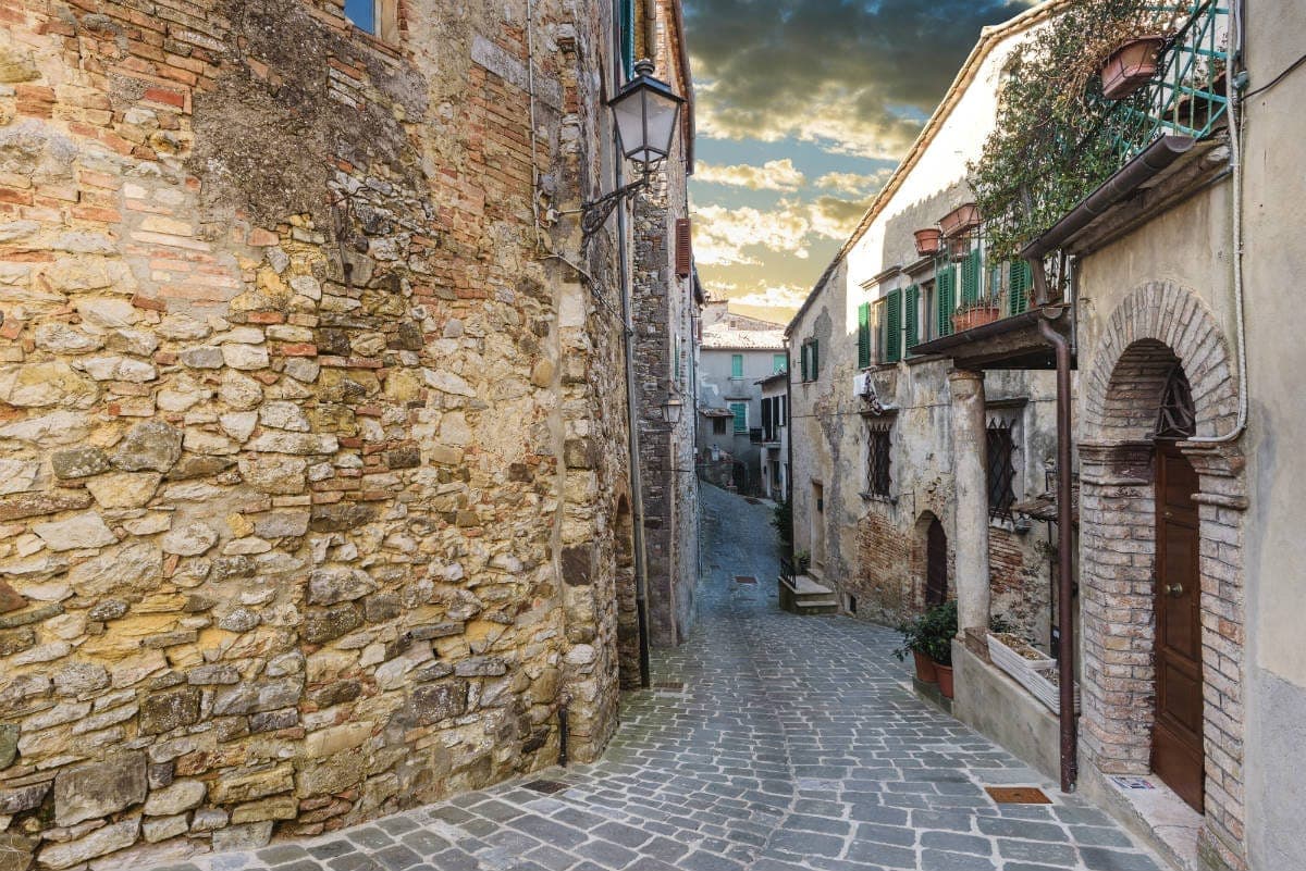
The Etruscan city of King Porsenna at 398 meters above the Val di Chiana, with one of Italy's major Etruscan museums and tunnels carved beneath the streets.
San Casciano dei Bagni
Province: Siena
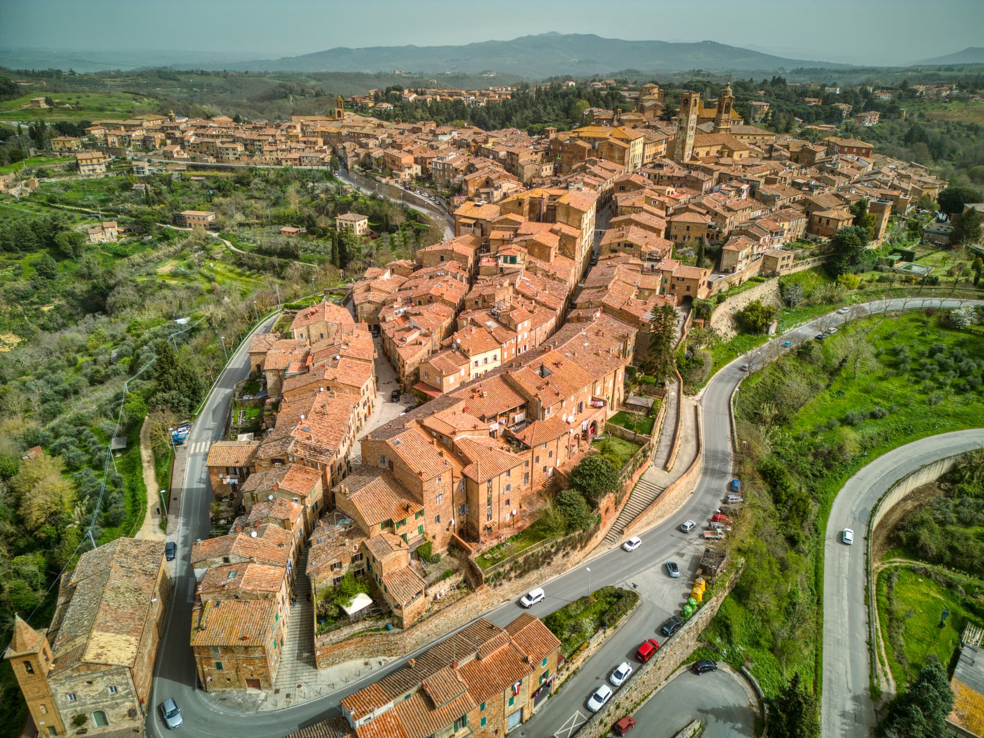
A hilltop borgo at 582 meters above 42 hot springs that produced the largest Etruscan bronze hoard of the last fifty years.
Città della Pieve
Province: Perugia
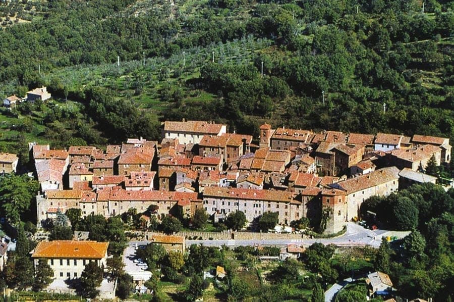
A red-brick hill town at 508 meters above the Valdichiana, the birthplace of Perugino and the home of Italy's narrowest alley.
Paciano
Province: Perugia
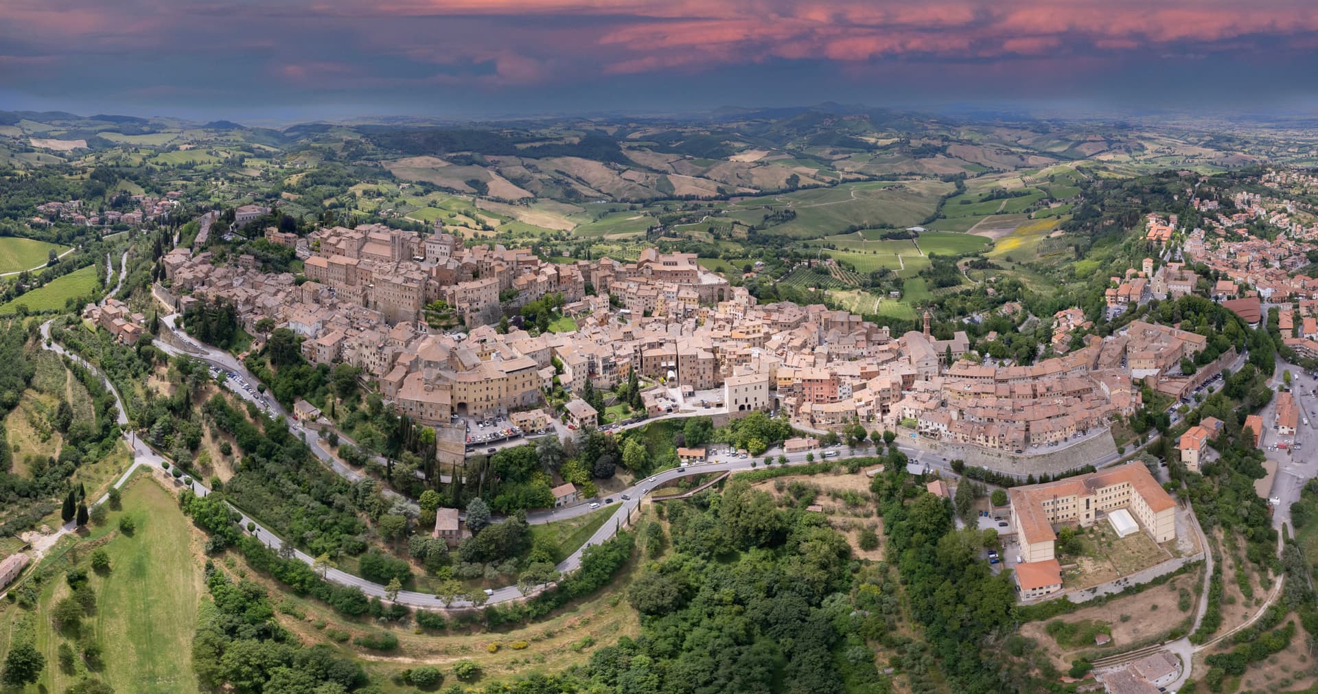
Walled hill town of 957 people at 391 meters above Lake Trasimeno, three parallel streets, eight towers and three medieval gates intact.
Montepulciano
Province: Siena
A Renaissance hill town at 605 meters on a limestone ridge, where Vino Nobile is aged in vaulted cellars beneath the palazzi of Piazza Grande.
🎨 Borghi più belli d'Italia
More Borghi più belli d'Italia towns in Tuscany
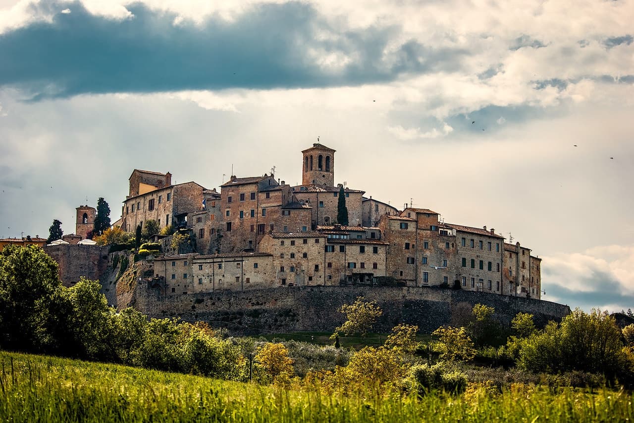
Anghiari
Province: Arezzo
A walled medieval town at 430 meters over the upper Tiber valley, where Florence beat Milan in 1440 and Leonardo started the fresco he never finished.
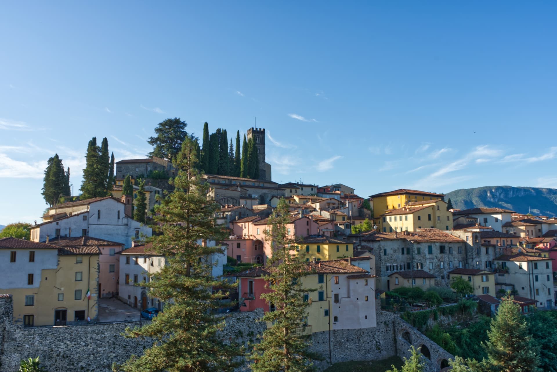
Barga
Province: Lucca
A medieval hilltop town at 410 meters in the Serchio valley between the Apuan Alps and the Apennines, where Giovanni Pascoli wrote his last poems and the August festival serves fish and chips.
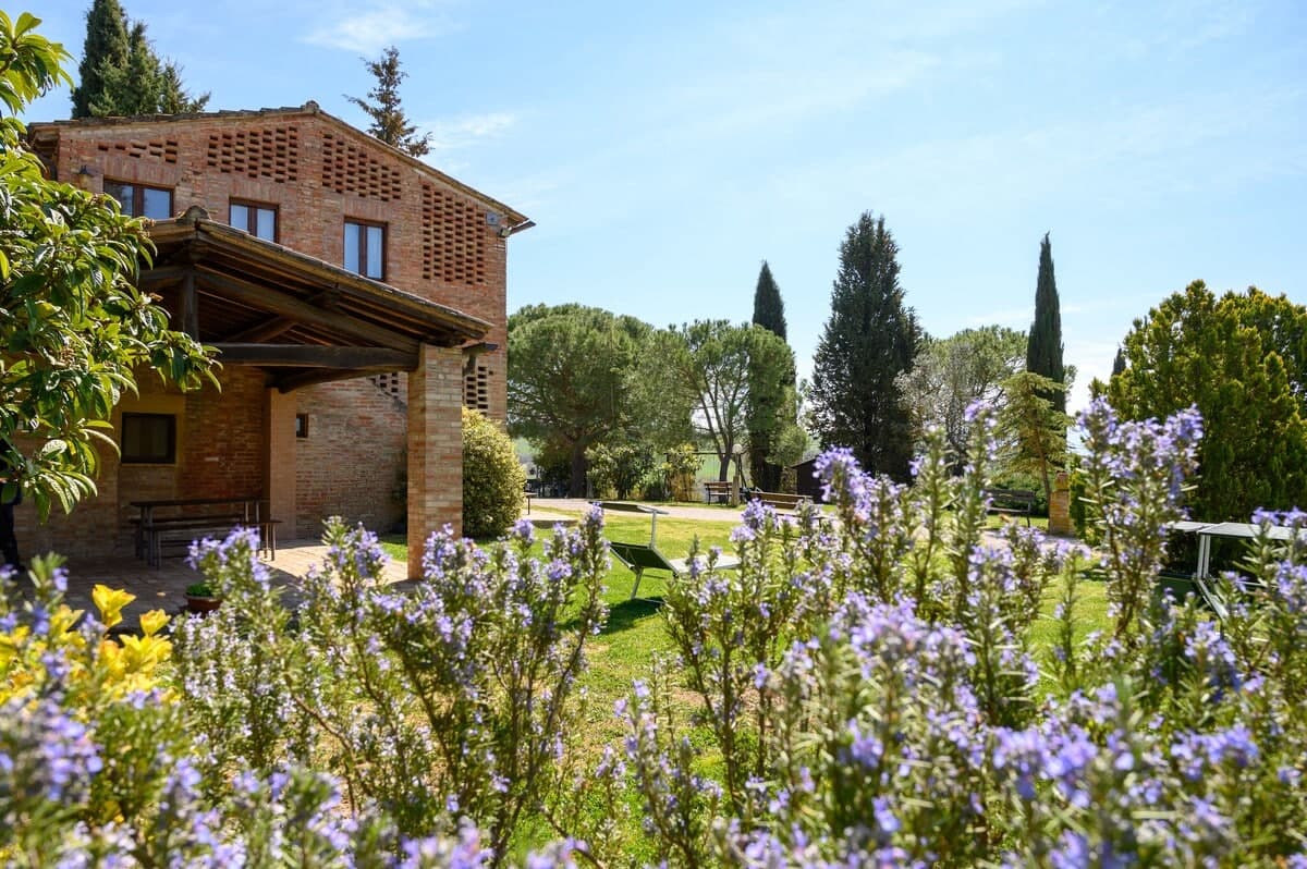
Buonconvento
Province: Siena
The walled brick borgo in the Crete Senesi where Emperor Henry VII died in 1313, on the Via Cassia at the confluence of the Arbia and Ombrone.
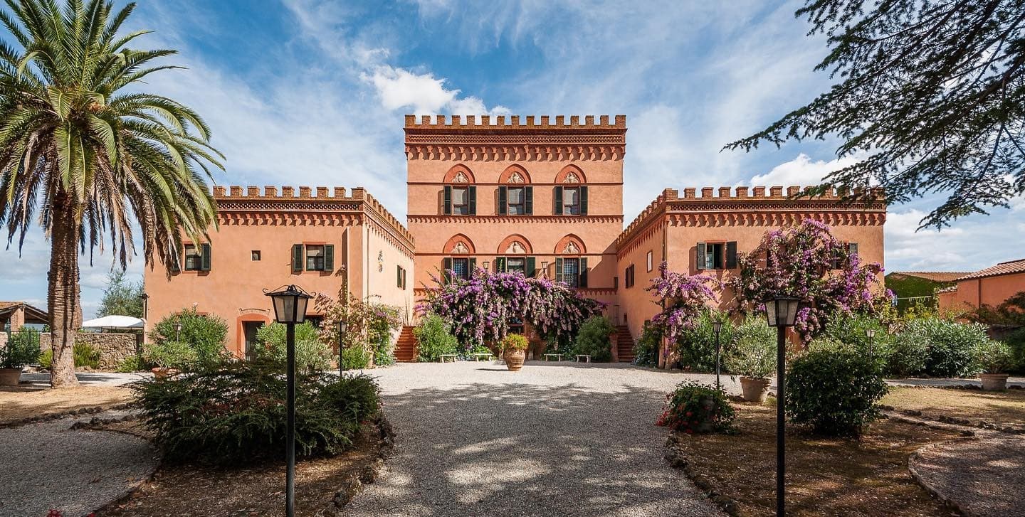
Campiglia Marittima
Province: Livorno
A walled hilltop borgo above the Val di Cornia, where the Rocca tower watches a mining landscape worked from the Etruscans to 1976.
Capalbio
Province: Grosseto
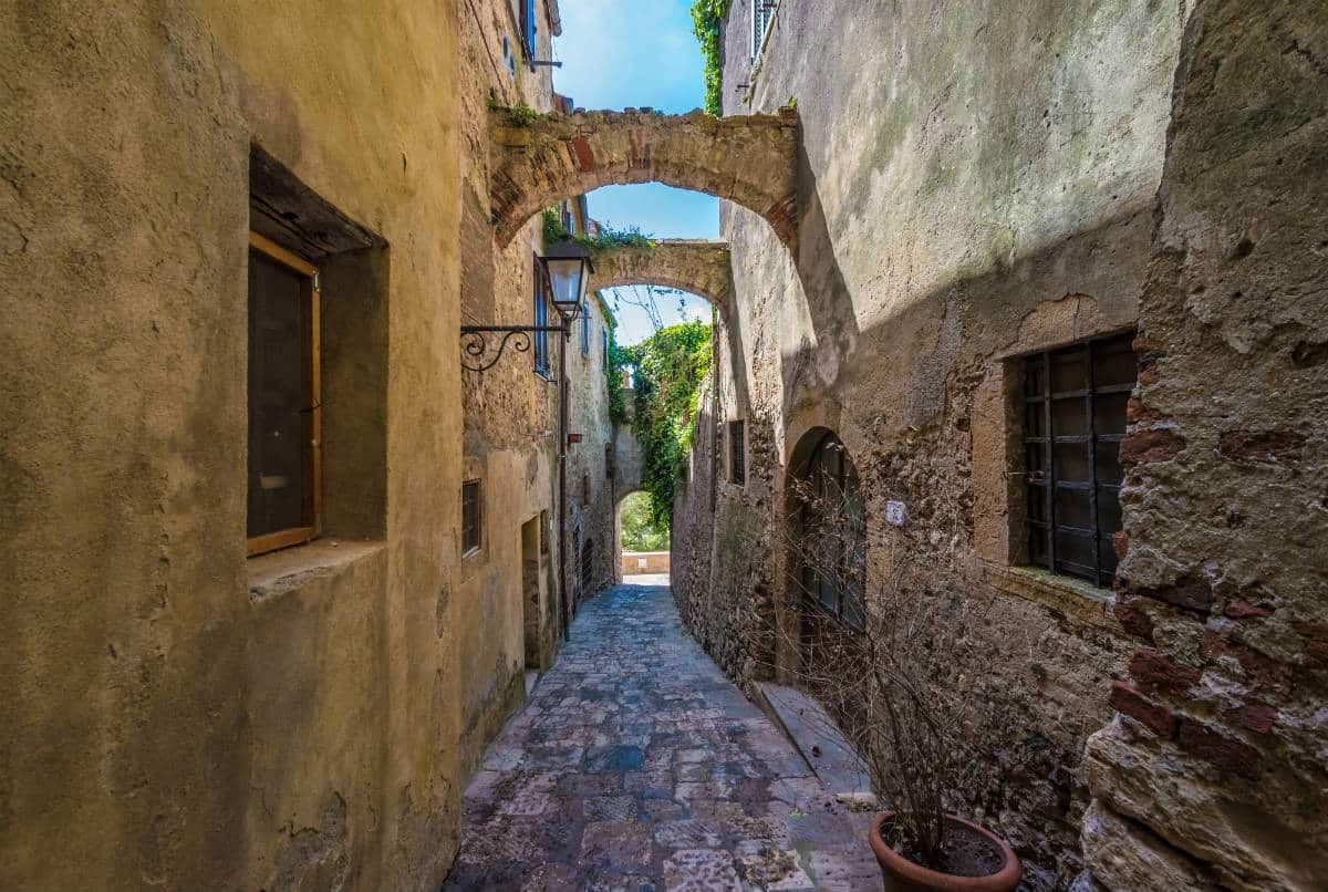
A walled hilltop borgo at 217 meters in the southern Maremma, donated to the Abbey of Tre Fontane by Charlemagne and home of Niki de Saint Phalle's Tarot Garden.