
Parco Nazionale
Parco Nazionale in Campania
23 towns
Campania holds 23 Parco Nazionale sites inside our catalogue. They cluster in the Salerno, Benevento, and Napoli provinces.
The three most recognised in our catalogue are Cerreto Sannita, Ascea, and Pompei. 20 more towns carry the mark alongside them.
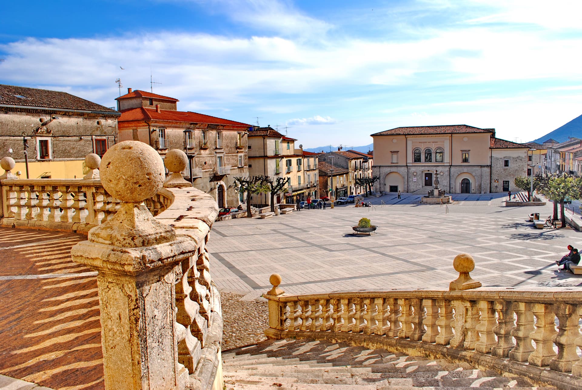
Cerreto Sannita
Province: Benevento · 290 m
A Sannio ceramics town at 290 meters, rebuilt from scratch by royal engineer Giovanni Battista Manni after the 1688 earthquake leveled the old hill.
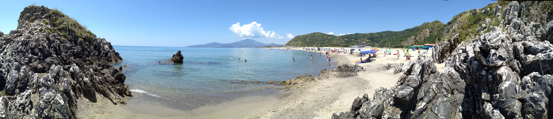
Ascea
Province: Salerno · 230 m
Two villages, a hilltown at 230 meters and a Cilento marina, with Parmenides and Zeno's Eleatic school in the ruins of Greek Velia below.
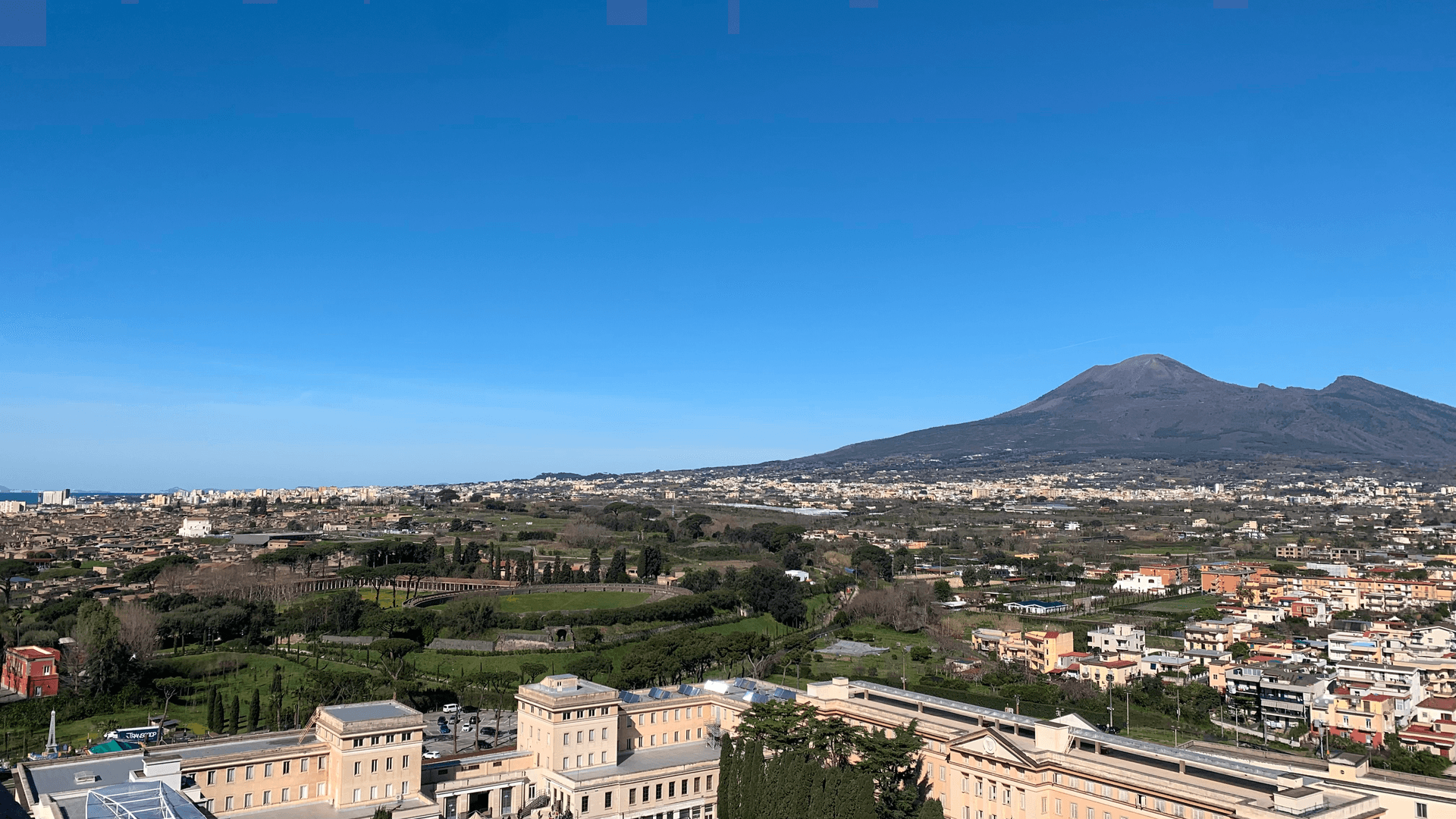
Pompei
Province: Napoli · 30 m
The Roman city buried by Vesuvius in 79 AD, dug back up since 1748, and a modern town around Bartolo Longo's 1876 sanctuary.
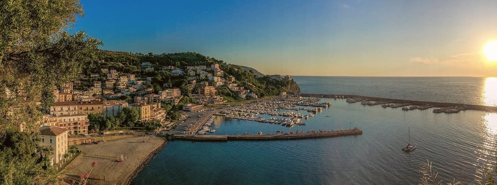
Agropoli
Province: Salerno · 24 m
The gateway commune of the Cilento, a Byzantine acropolis on a promontory taken by the Saracens in 882 as a base for raids on Salerno.
Alife
Province: Caserta · 110 m
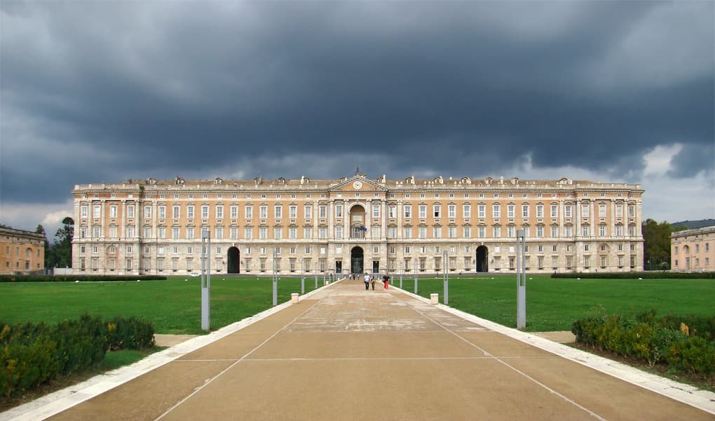
A Roman walled town at the foot of the Matese, founded as a 326 BC oppidum, with Italy's fourth-largest amphitheatre still half-buried.
Camerota
Province: Salerno · 422 m
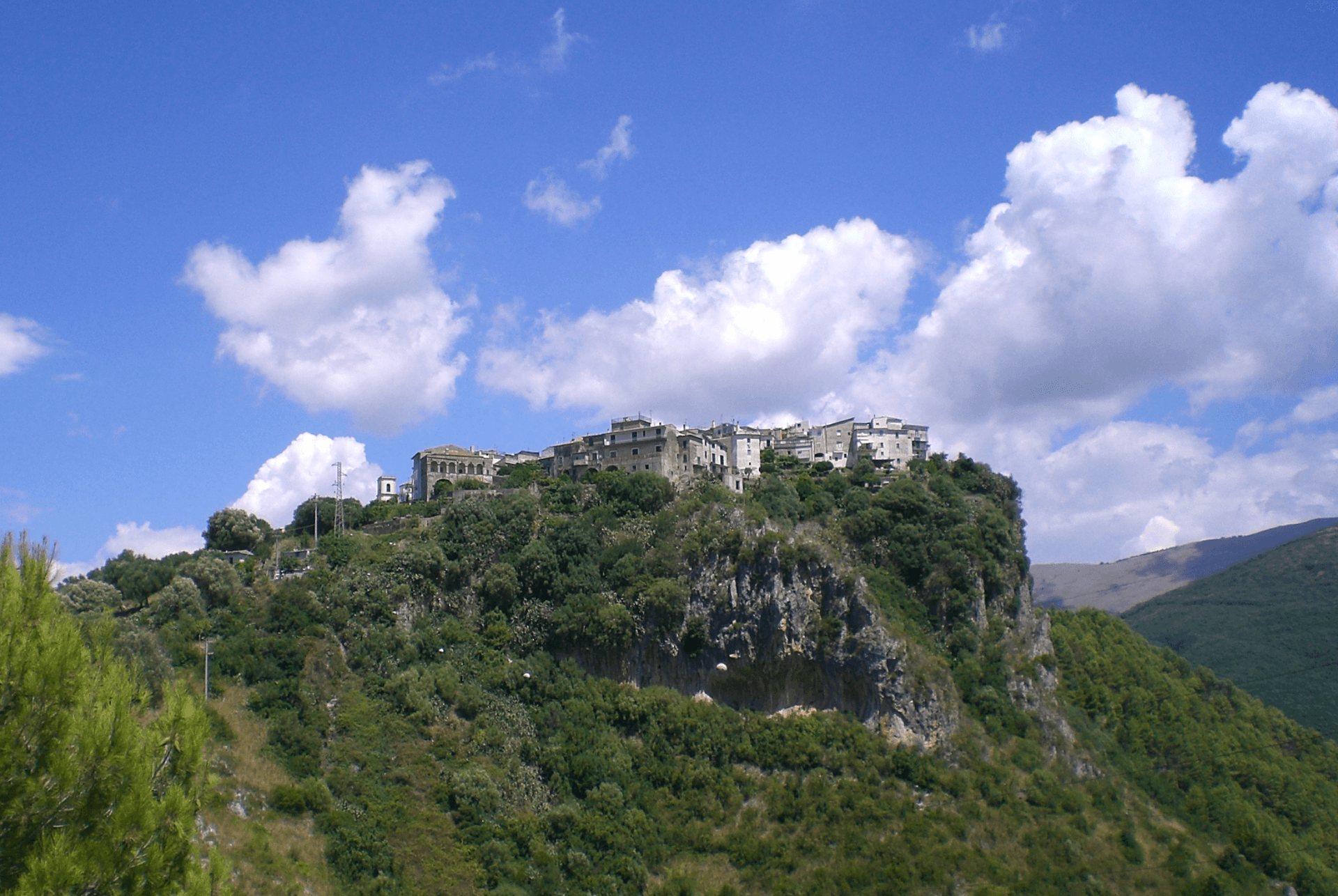
A Cilento hill of 422 meters above the Costa degli Infreschi, with prehistoric caves documenting Neanderthal occupation along the southern Tyrrhenian.
Capaccio Paestum
Province: Salerno · 419 m
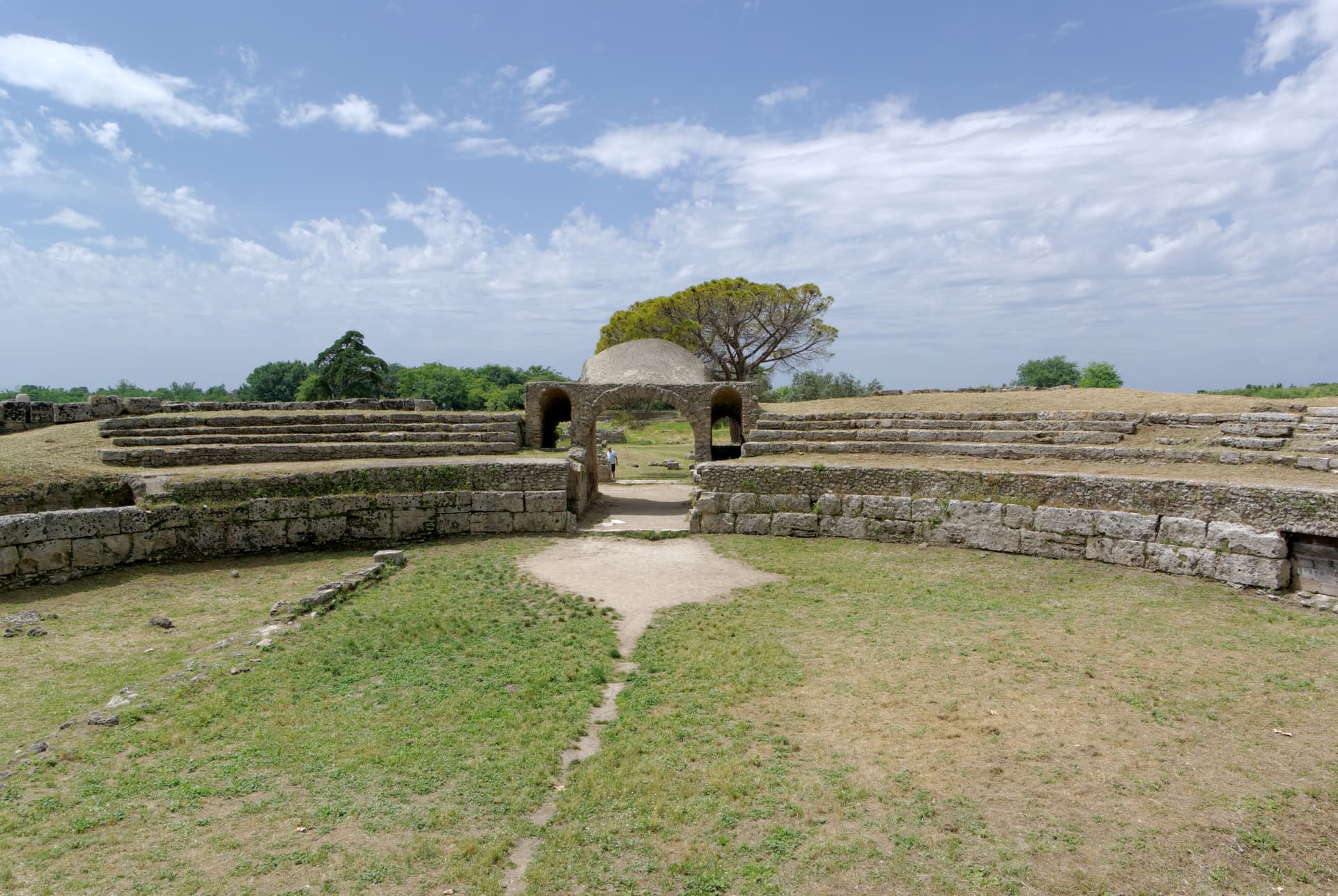
Three Doric temples of 550 to 450 BC on the Sele plain, with mozzarella di bufala DOP on the buffalo flats below Monte Calpazio.
Castellabate
Province: Salerno · 280 m
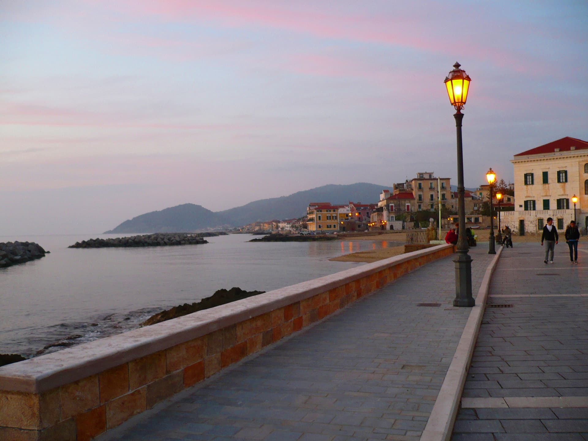
A 1123 abbot's castle on a 280-meter Cilento ridge, with a Bandiera Blu beach below and the Benvenuti al Sud film.
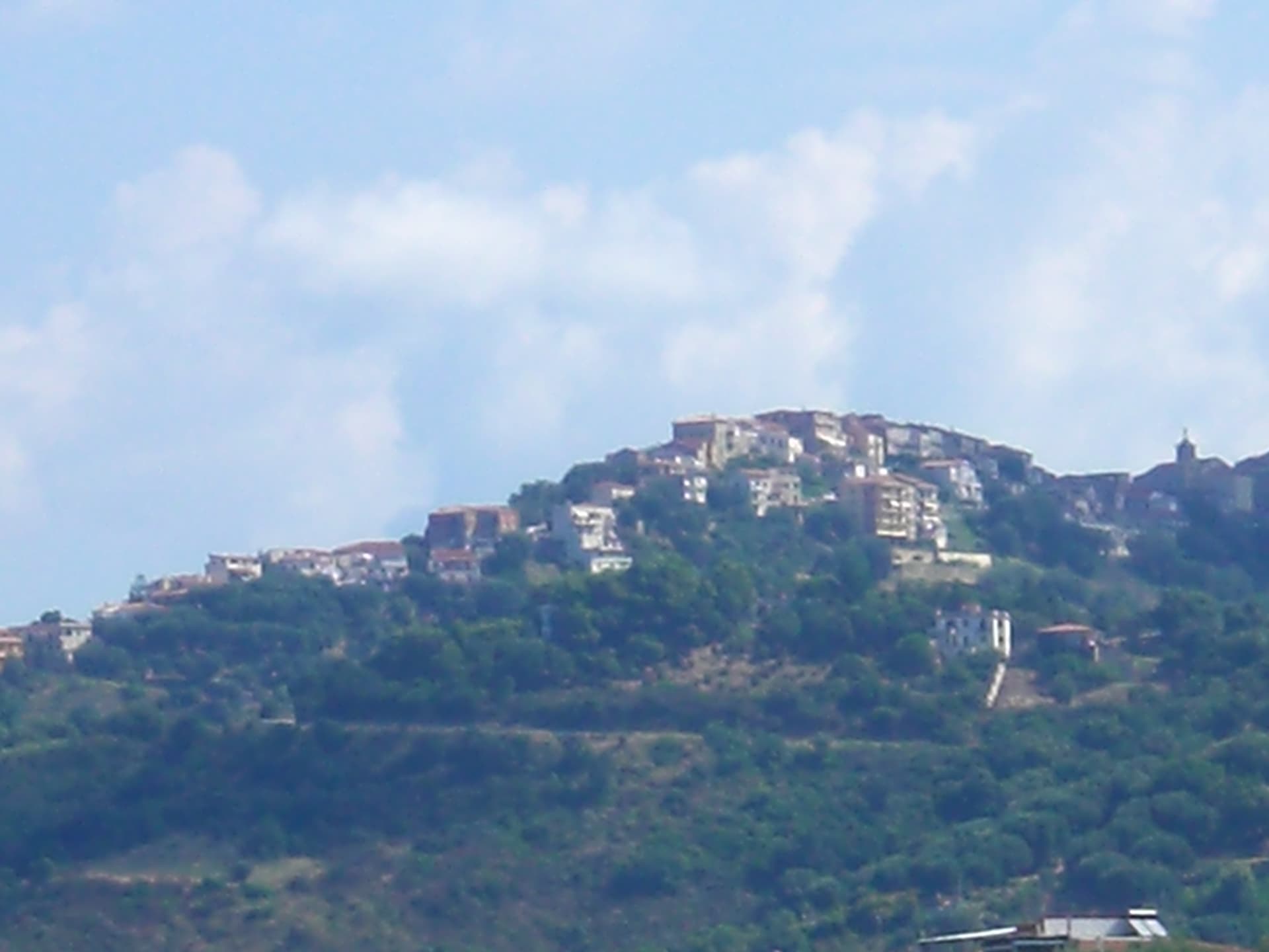
Centola
Province: Salerno · 336 m
A Cilento hill village at 336 meters whose seaside frazione, Palinuro, carries the helmsman of Aeneas and a Bandiera Blu coastline.
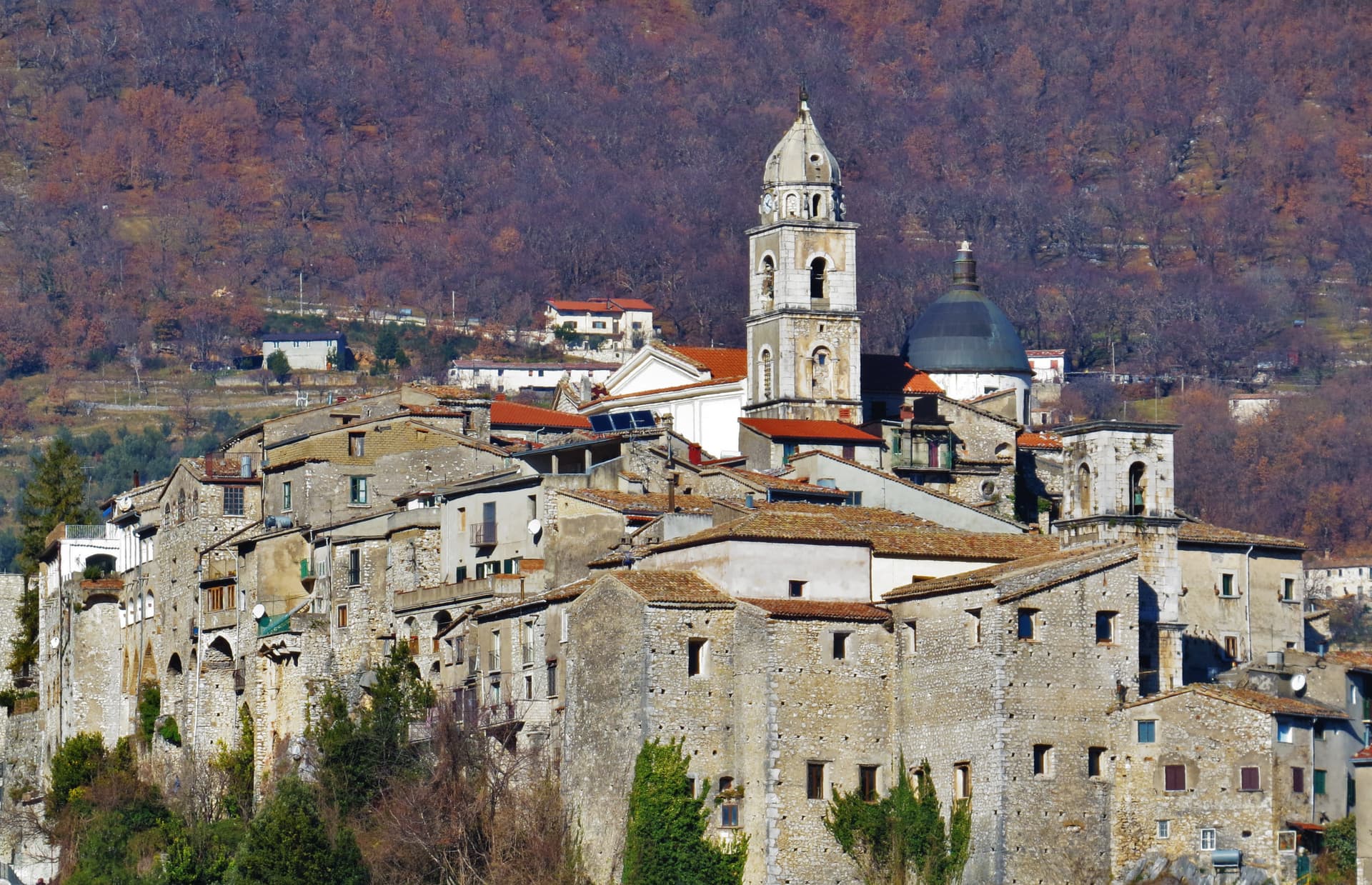
Cusano Mutri
Province: Benevento · 475 m
A Sannio hill borgo at 475 meters on the south face of the Matese, the only town in the area spared by the 1688 earthquake.
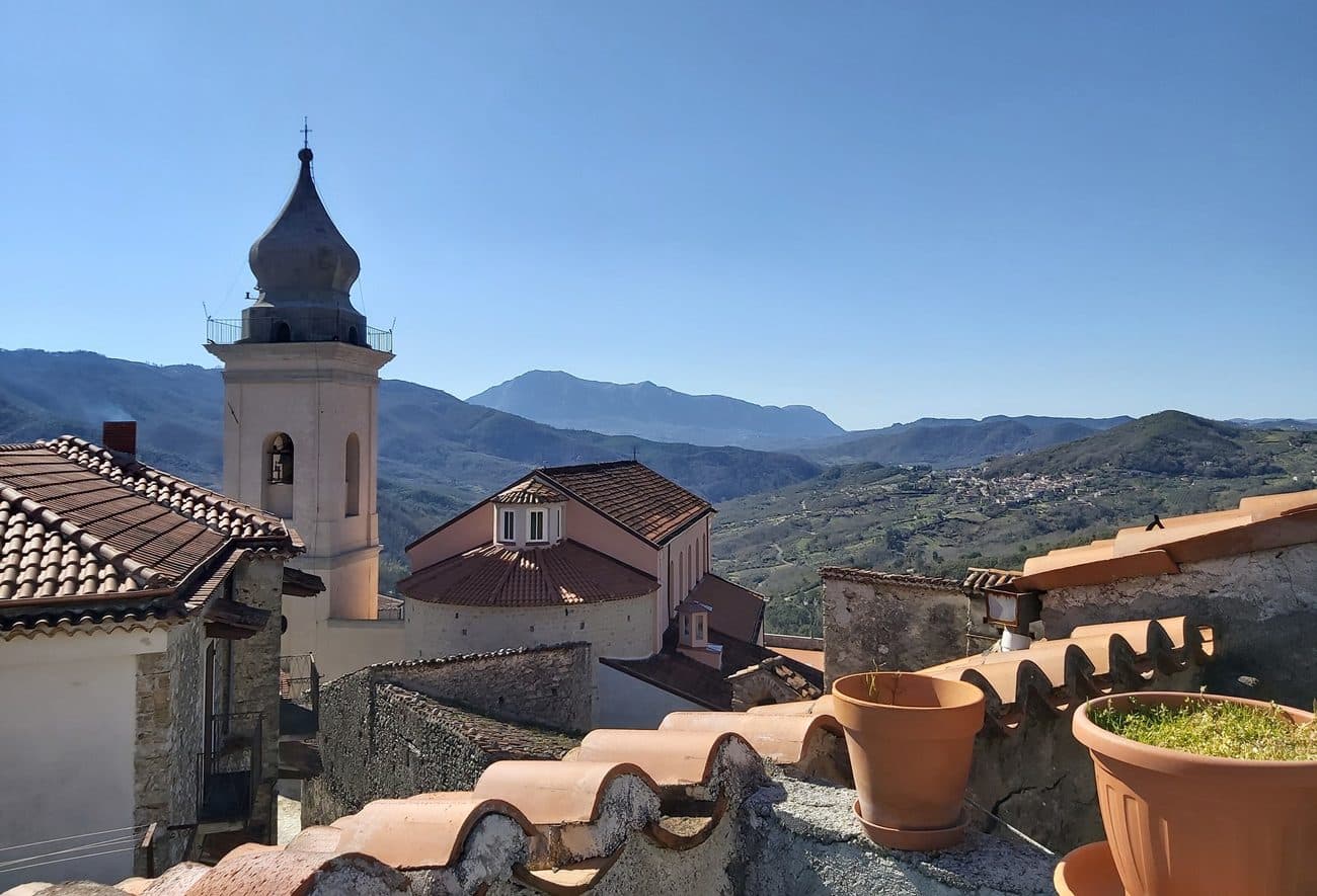
Morigerati
Province: Salerno · 340 m
A 608-person Cilento village above the Bussento gorge, the river surfacing from underground caves directly beneath the cliffs.
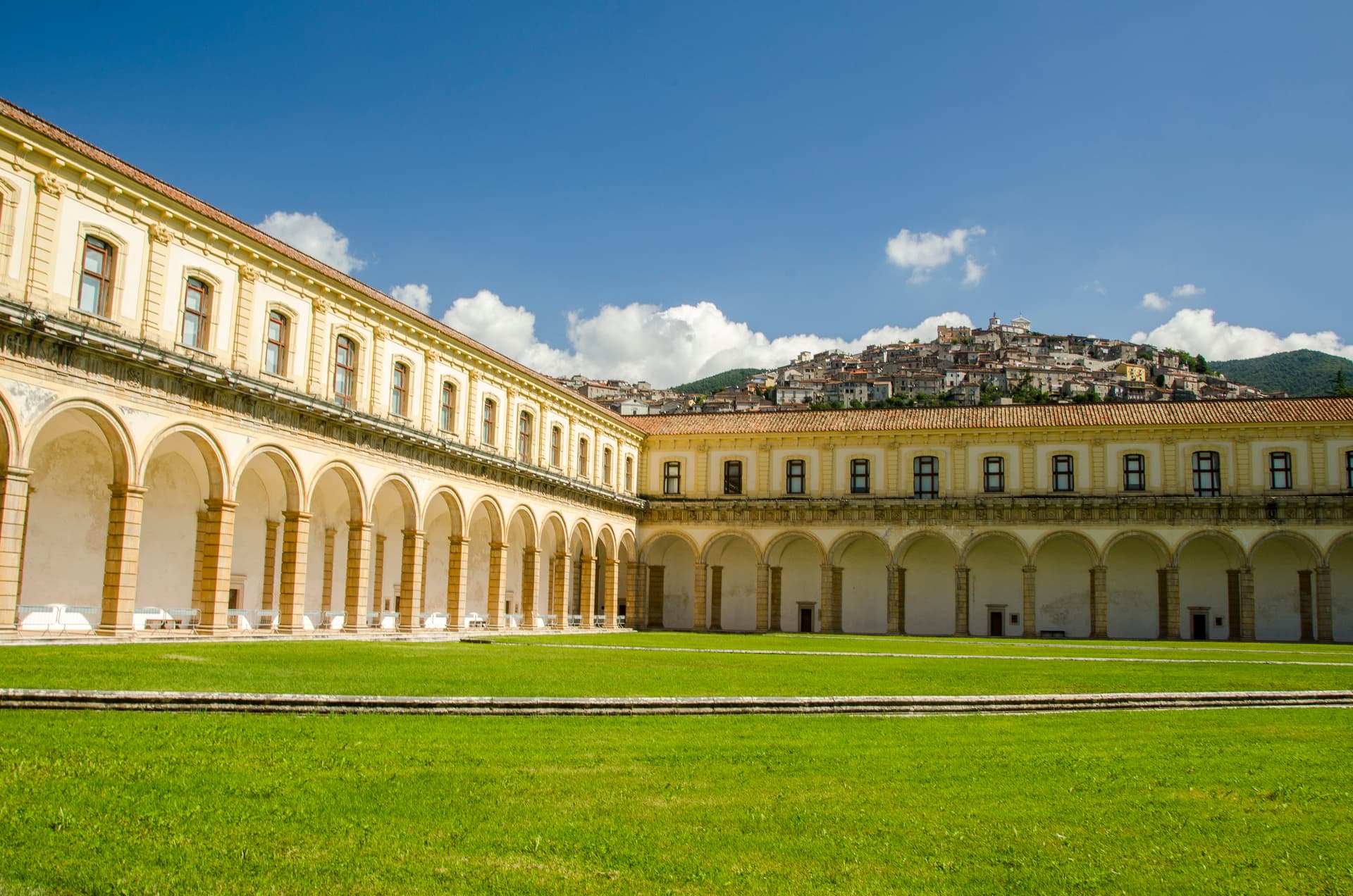
Padula
Province: Salerno · 699 m
A hill town at 699 meters above the Vallo di Diano, holding the Certosa di San Lorenzo and the world's largest cloister.
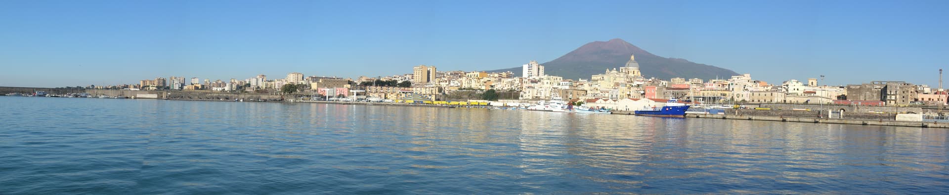
Torre Annunziata
Province: Napoli · 15 m
Capital of Italian pasta in the interwar period and home of the Roman Villa di Poppea, on the bay at the foot of Vesuvius.
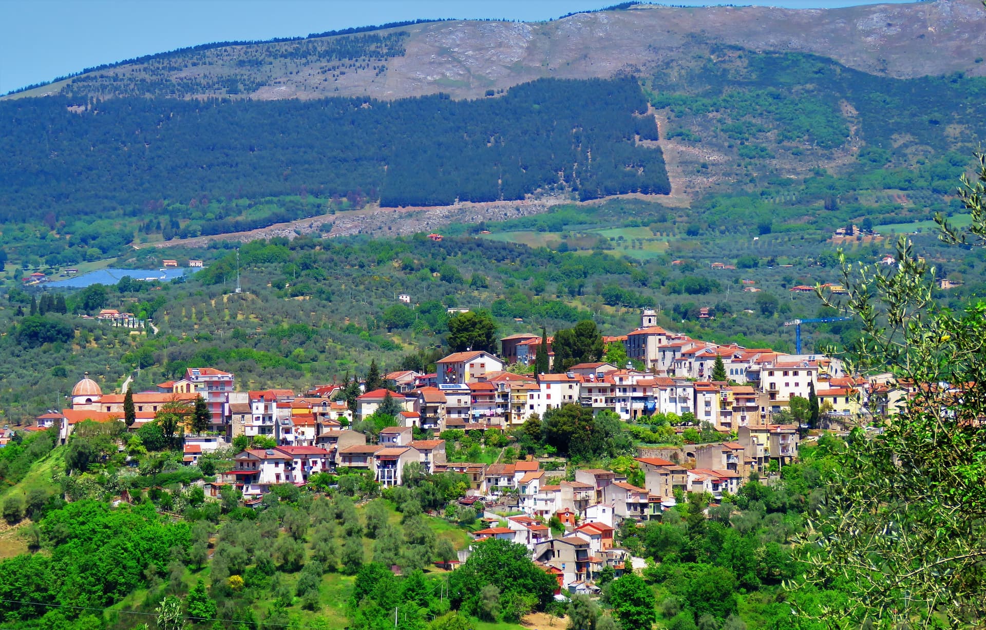
Auletta
Province: Salerno · 280 m
A Tanagro hill town above the Cilento-Vallo di Diano park, fortified by 1000 AD, scene of an 1861 anti-Piedmont massacre and an 1857 earthquake.
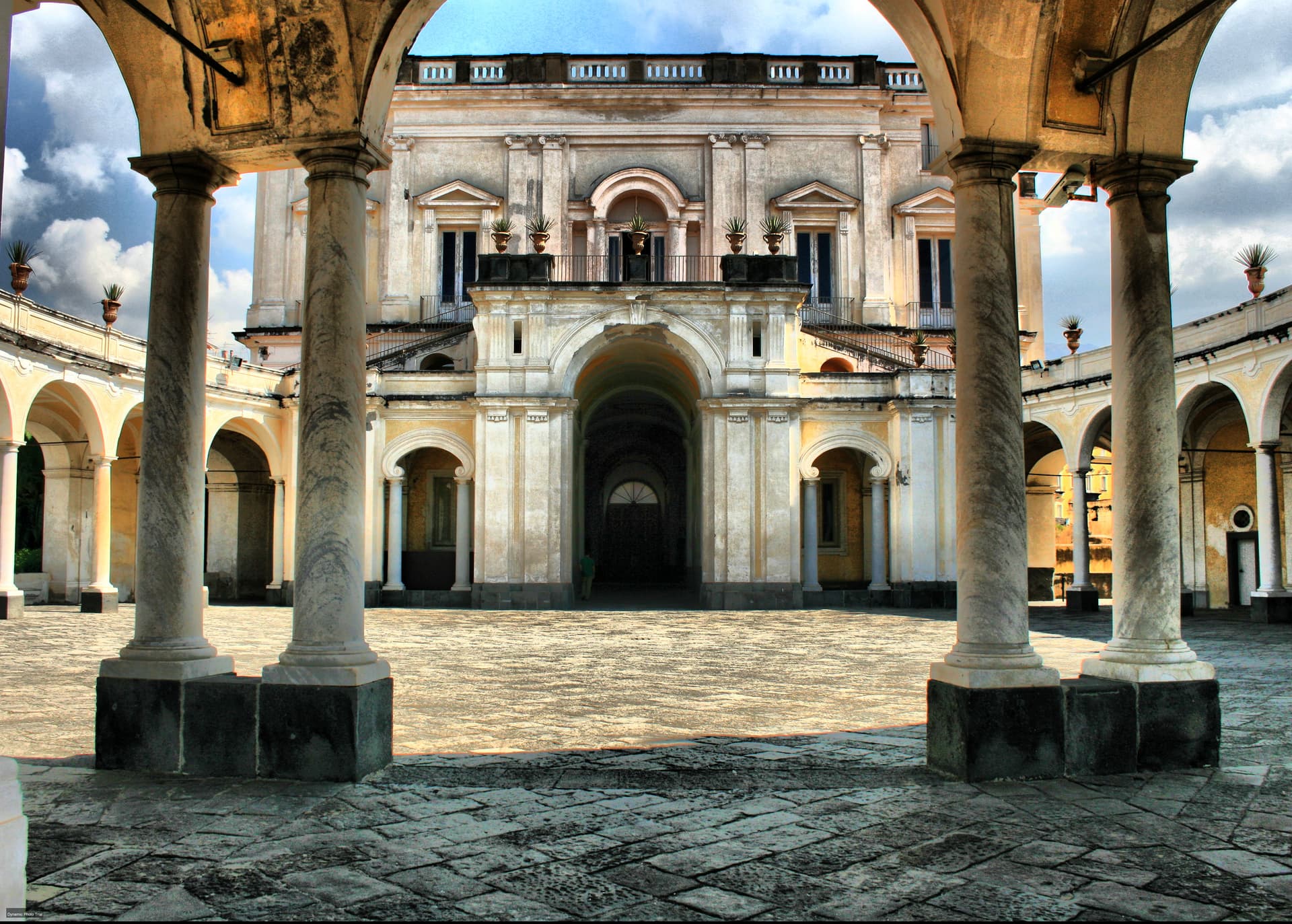
Ercolano
Province: Napoli · 44 m
The smaller, denser, more intact Pompeii — Herculaneum was buried under 25m of pyroclastic mud (not ash) on 24 October AD 79, preserving wooden roofs, papyrus scrolls, and second-storey balconies that no other Roman site has, and the modern comune of Ercolano above it adds the Vesuvius National Park gateway and the 18th-c Bourbon Ville Vesuviane along the Miglio d'Oro.
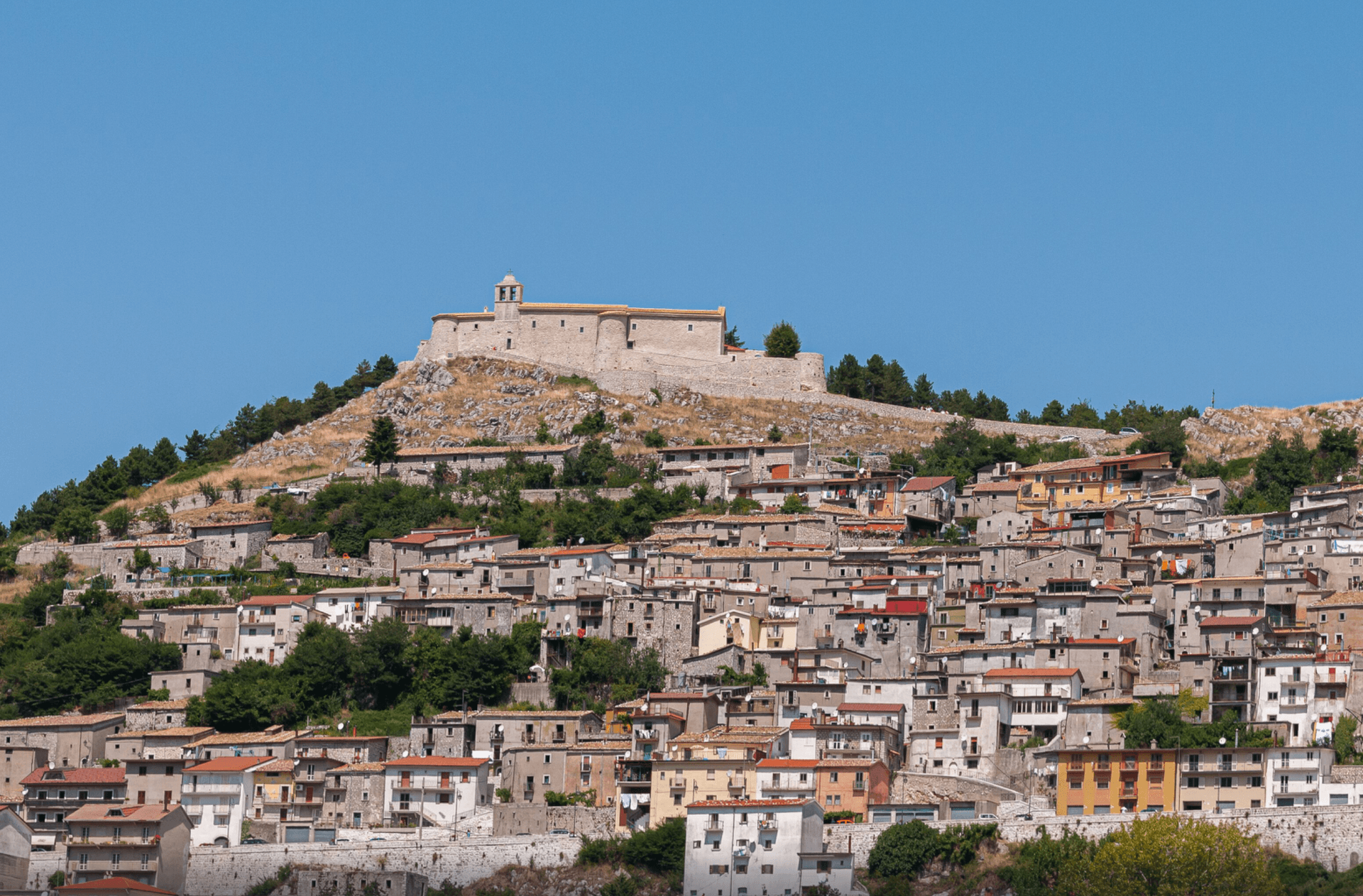
Letino
Province: Caserta · 961 m
At 961 meters the highest commune in the province of Caserta, where in April 1877 anarchists declared a Republic of Letino in the village hall.
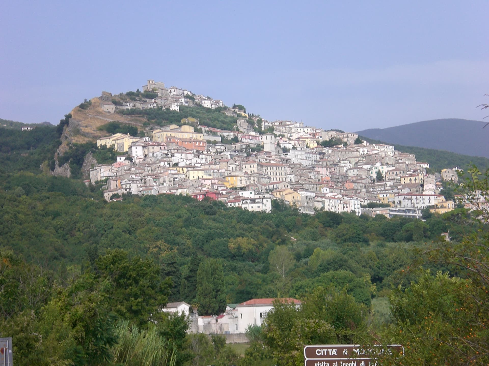
Morcone
Province: Benevento · 600 m
A Sannite hill town at 600 meters above the Tammaro valley, with 5th-century BC walls and the convent where Padre Pio took vows.
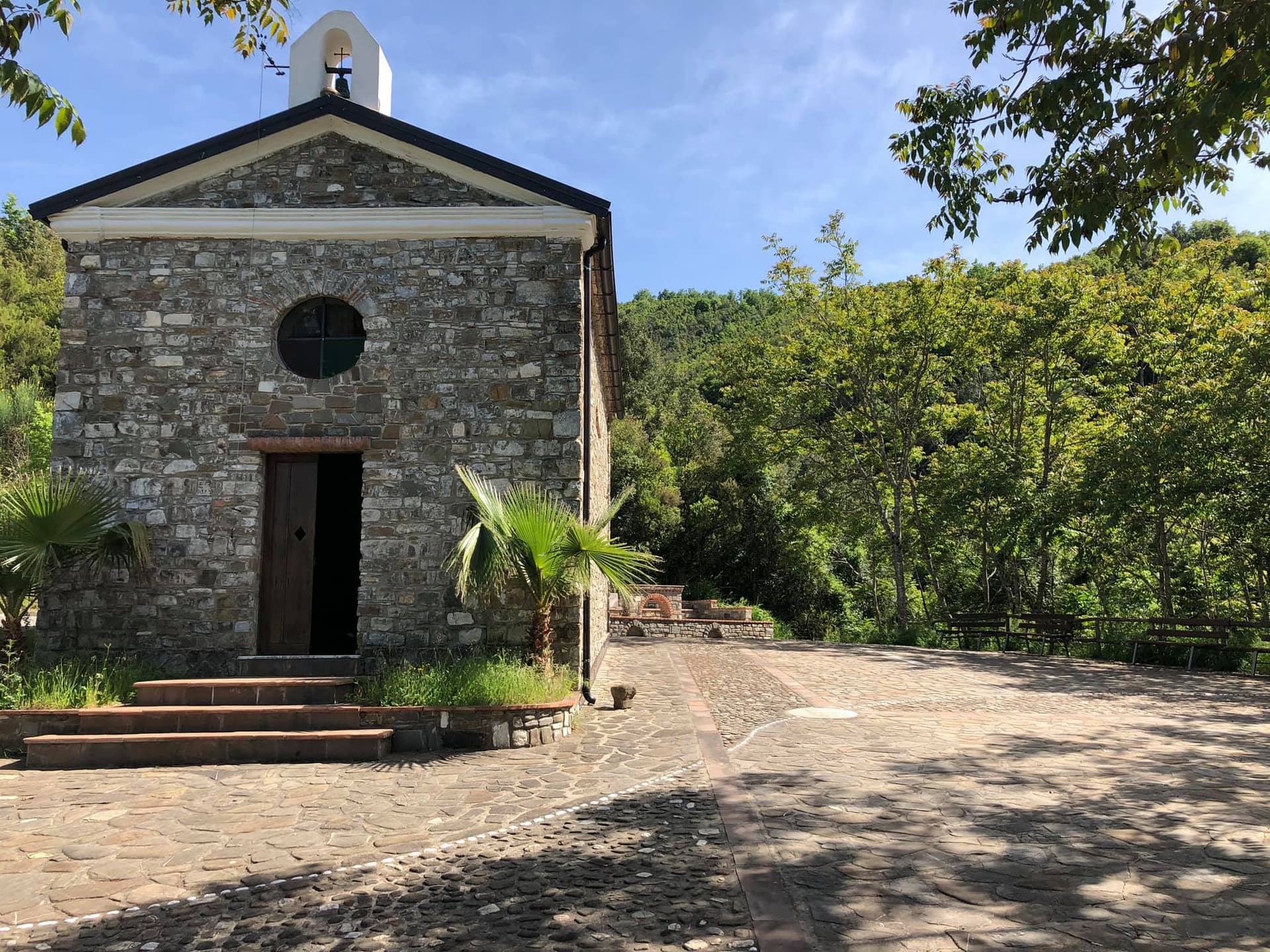
Perito
Province: Salerno · 480 m
A Cilento ridge town at 480 meters above the Alento valley, once a center of black-powder production for hunting, defense and brigands.
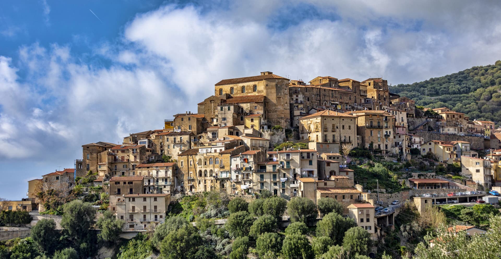
Pisciotta
Province: Salerno · 171 m
A Cilento hilltop town of olive terraces above the Tyrrhenian, where fishermen still pull anchovies with the medieval menaica net.
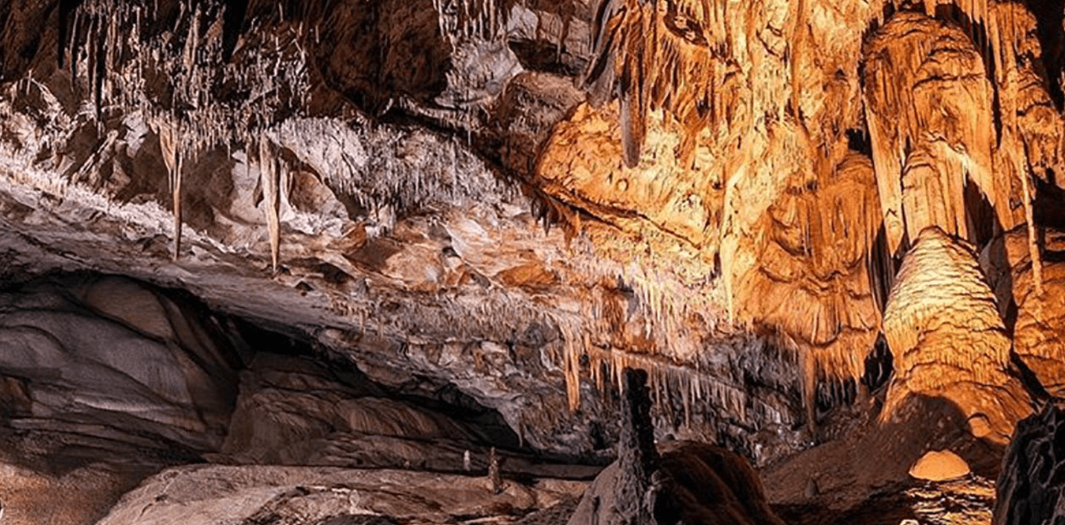
Castelcivita
Province: Salerno · 526 m
A small Alburni hill town at 526 meters in the Cilento national park, the surface entrance to a 4,800-meter karst cave inhabited 40,000 years ago.
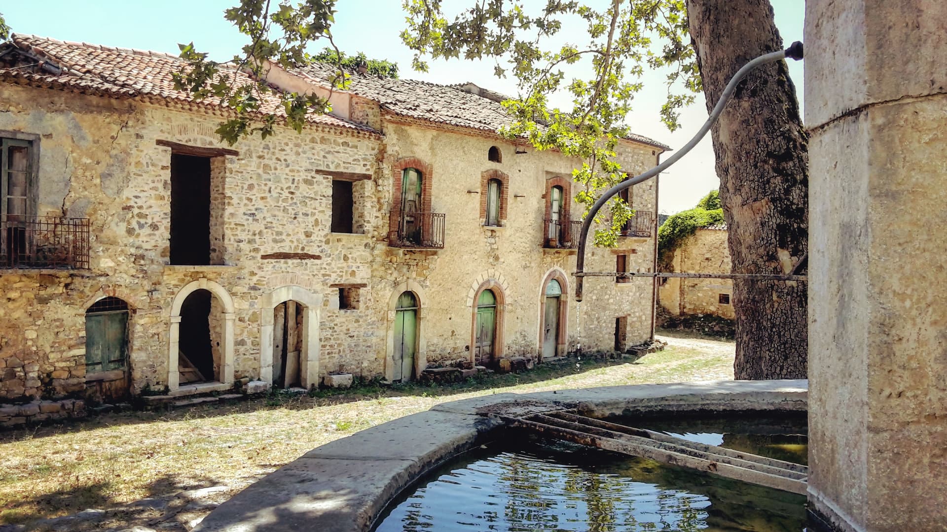
Roscigno
Province: Salerno · 570 m
A Cilento ghost town at 570 meters, emptied by a 1902 landslide and known as the Pompeii of the twentieth century.
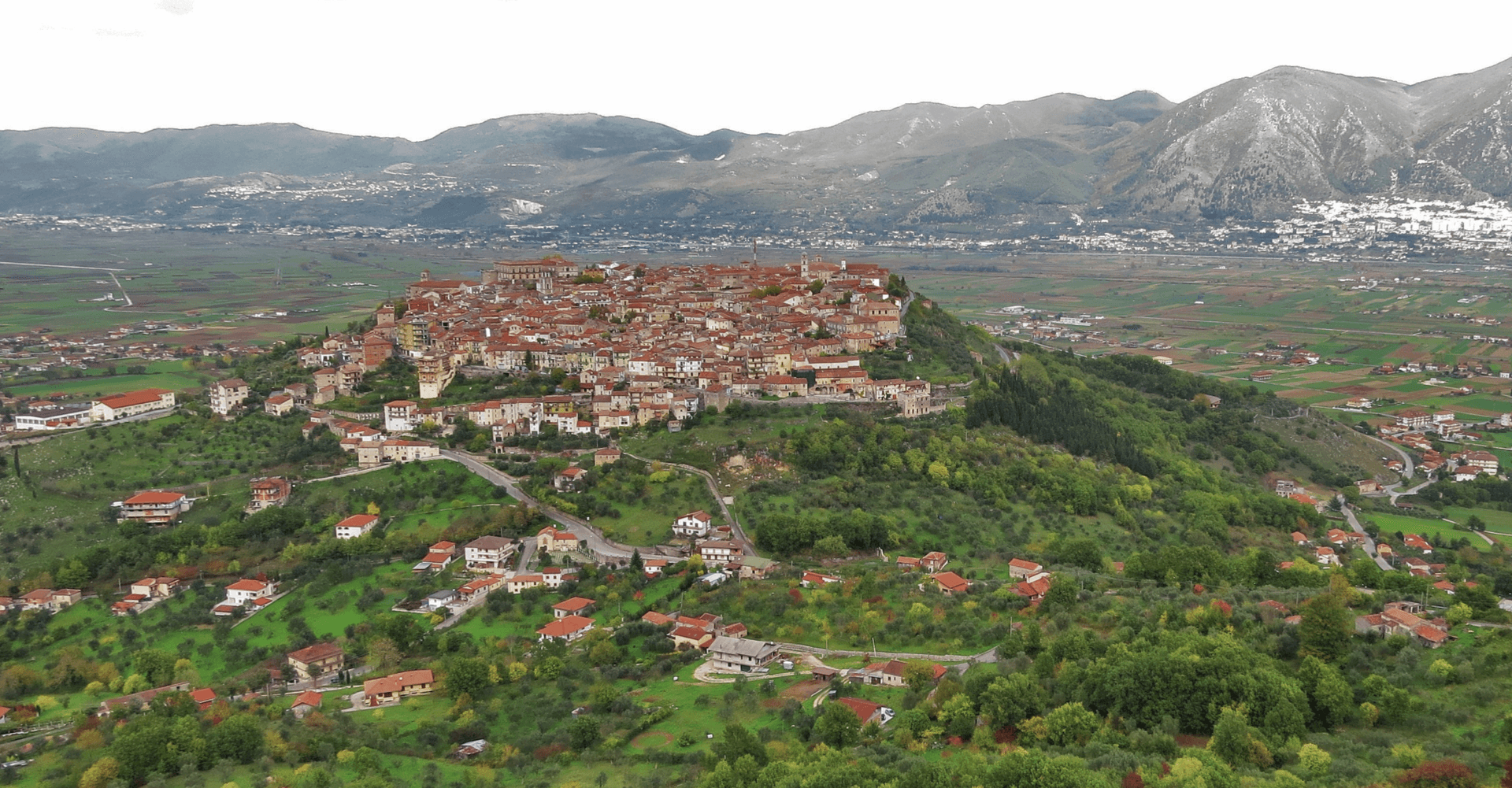
Teggiano
Province: Salerno · 635 m
A ridge town at 635 meters above the Vallo di Diano, the ancient Tegianum that named the valley, held by the Sanseverino for three centuries.
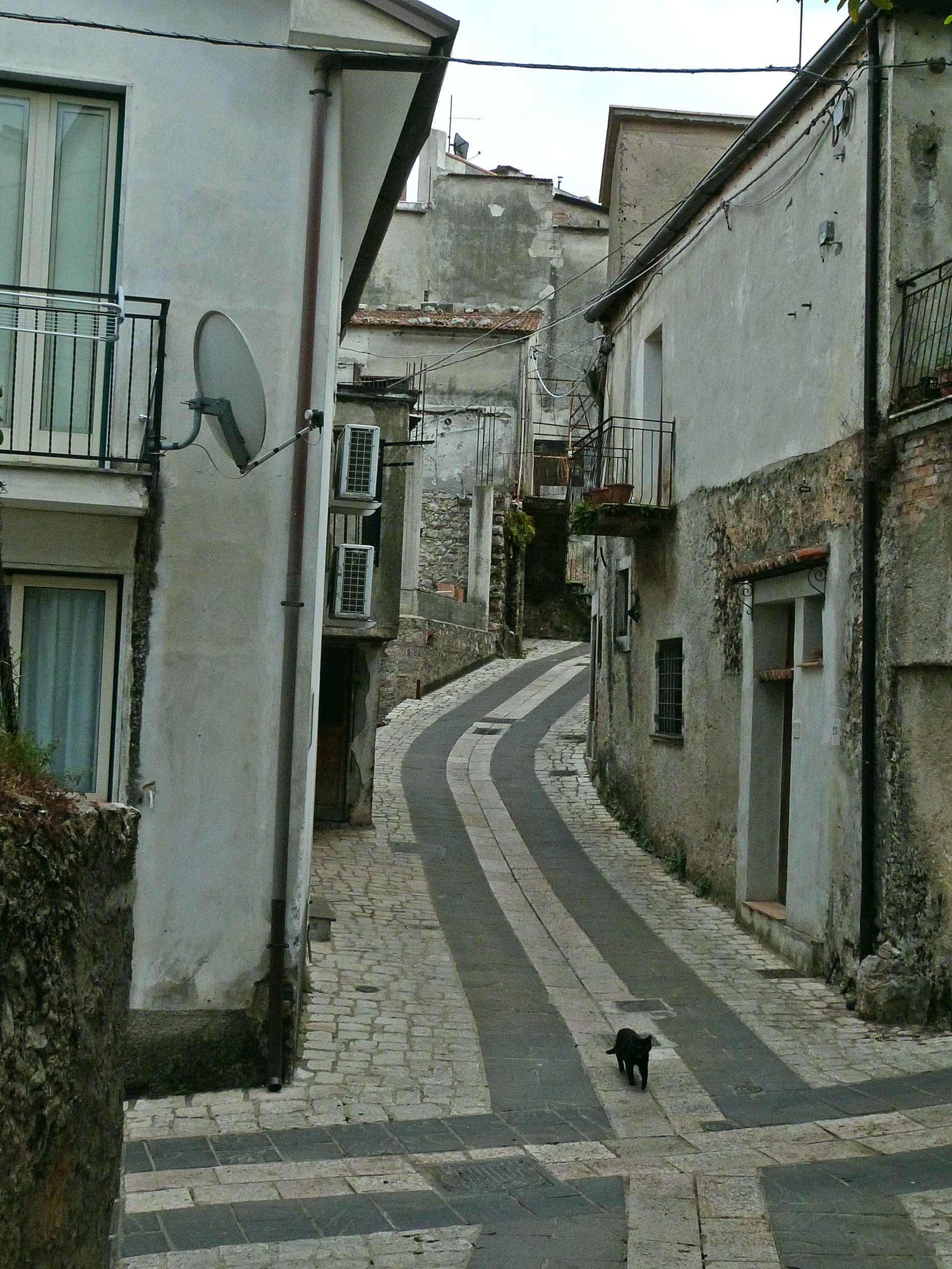
Trentinara
Province: Salerno · 606 m
A Cilento balcony at 606 meters on the Cantenna cliff, called the Terrazza del Cilento, with a 1,500-meter zipline that drops 170 meters toward Paestum.
Subscribe — free
Get the best guides on hidden Italian towns.
One letter on Sundays. The week’s town, with the photo, the food, the festa. Free, by Peter & Sophia from Pietrasanta.
Substack sends a confirmation link to your inbox. The signup finishes when it’s clicked.
From elsewhere in Italy
Five more towns to discover
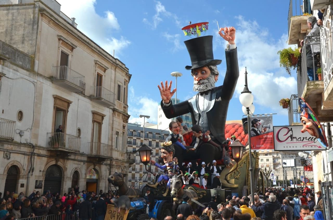
Putignano
Province: Bari
Europe's longest-running carnival — Putignano Carnevale has run continuously since 1394, with 631 years of cartapesta papier-mâché floats, a 26,000-resident Murgia town on the Bari–Lecce plateau, and the Grotta del Trullo karst cave inside the centro.

Pistoia
Province: Pistoia
Italy's nursery capital and the medieval Tuscan rival that gave its name to the pistol — a quietly extraordinary centro storico of zebra-striped Romanesque churches, Andrea della Robbia's polychrome frieze on the Ospedale del Ceppo, and Italy's Capital of Culture 2017, all 30 minutes from Florence by train.
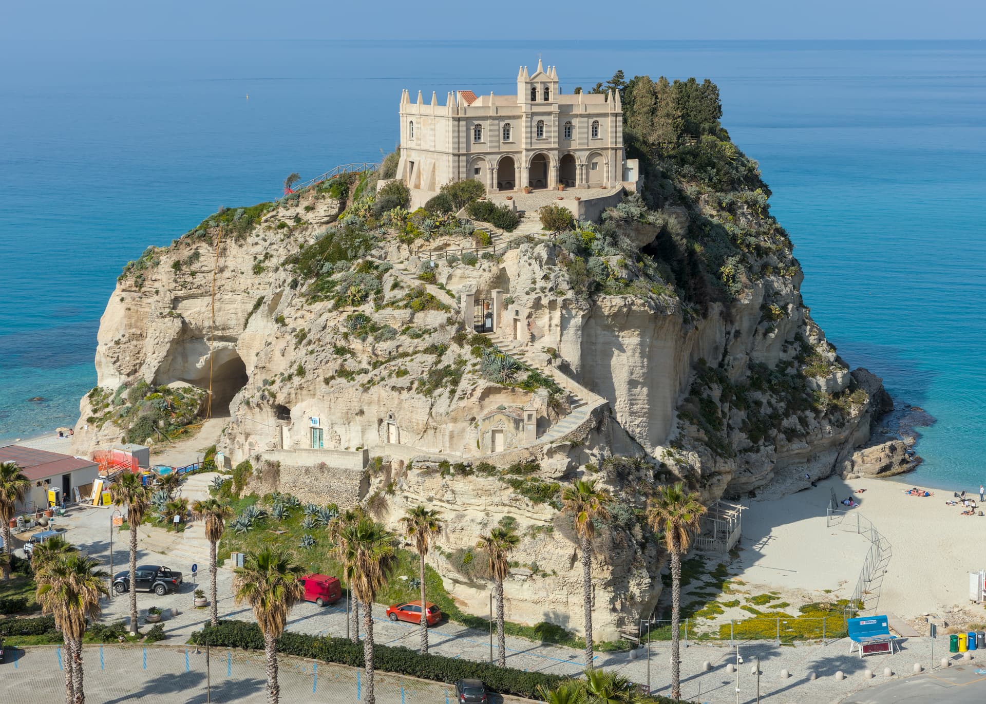
Tropea
Province: Vibo Valentia
Cliff town on a tufa headland over the Tyrrhenian Coast of the Gods, with a Norman monastery on a sea rock.
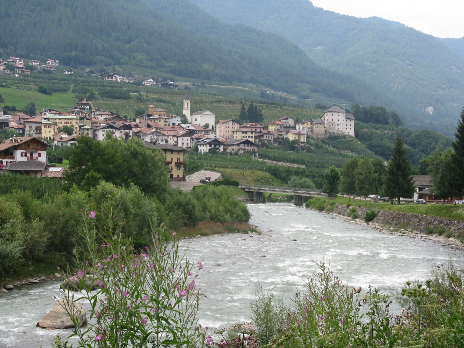
Caldes
Province: Trento
A scattered Val di Sole commune on the Noce, six hamlets gathered around a thirteenth-century tower-house castle that once belonged to the Thun family.
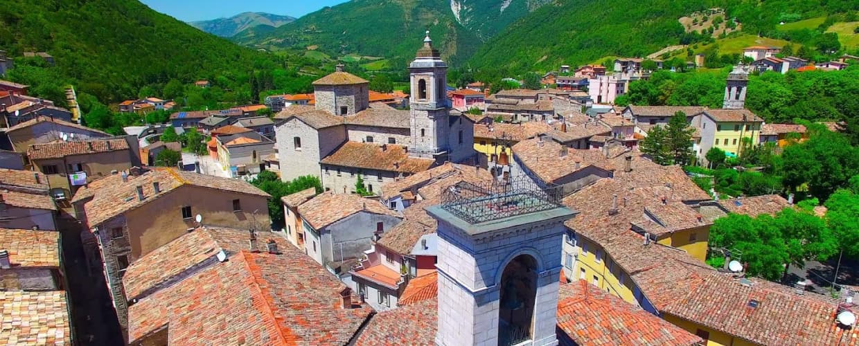
Cantiano
Province: Pesaro e Urbino
A border borgo at 374 meters under Monte Catria on the old Via Flaminia, known for the Good Friday Turba and the sour-cherry visciola harvest.