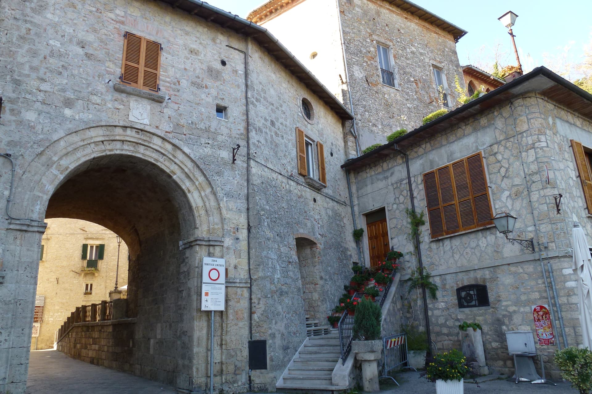
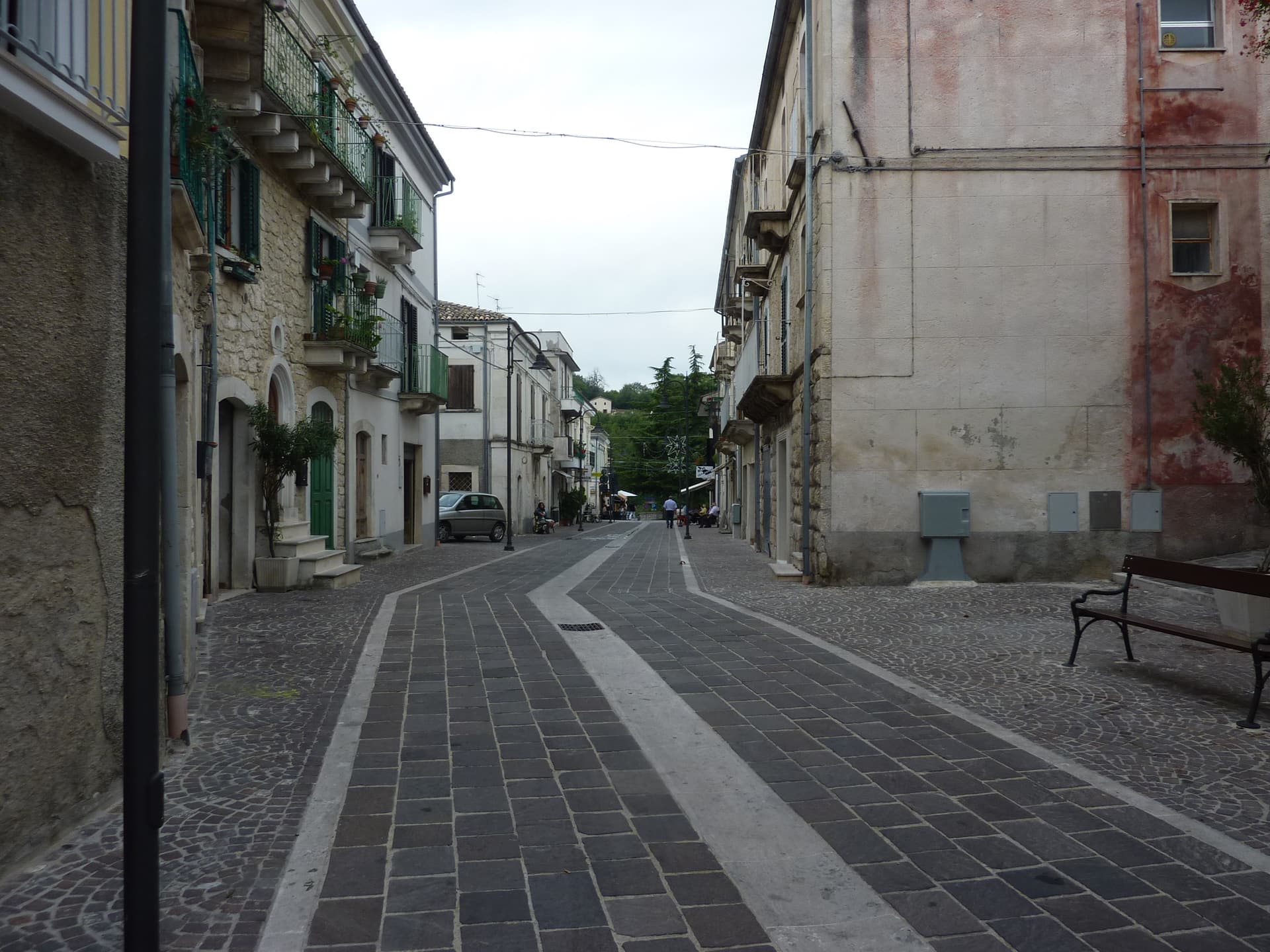
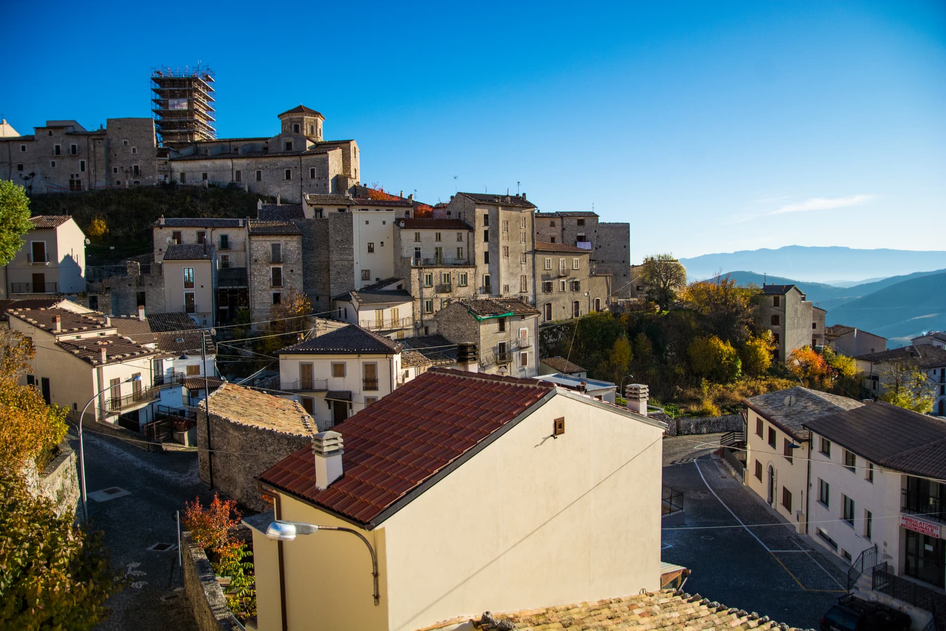
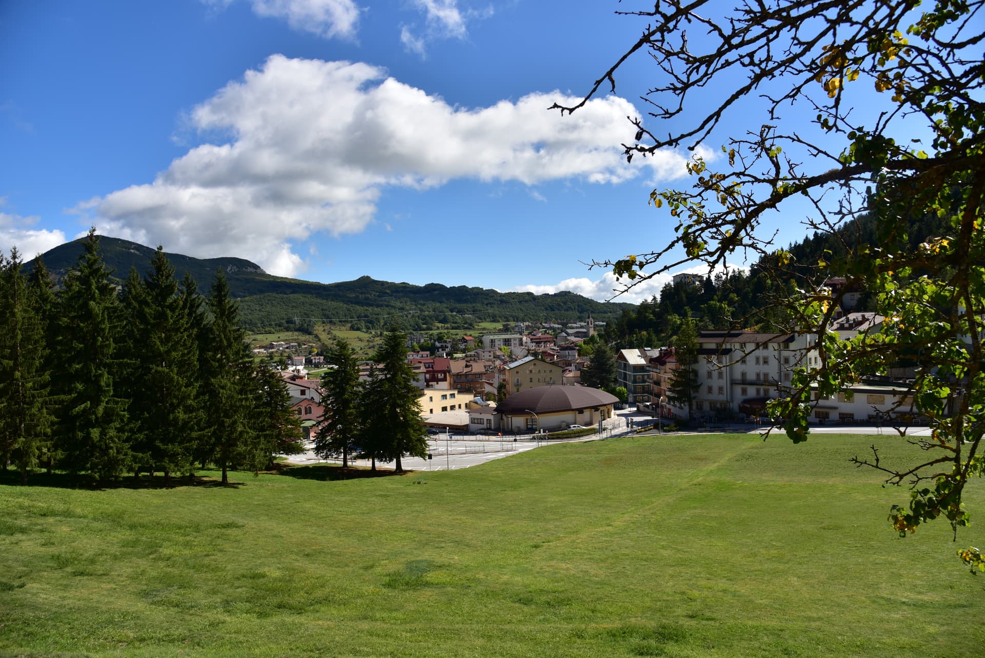
Parco Nazionale
Parco Nazionale in Abruzzo
34 towns
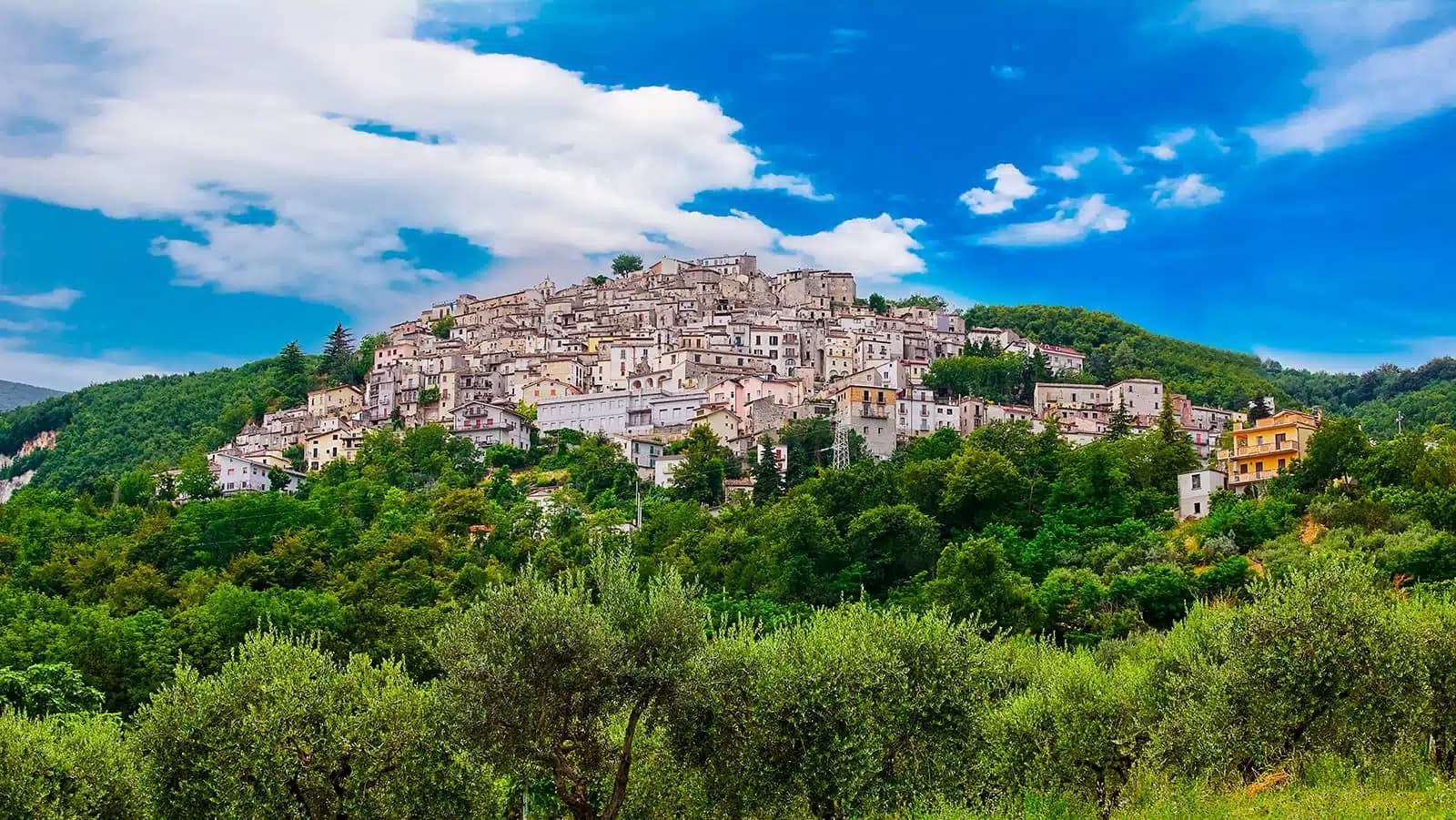
Abruzzo holds 34 Parco Nazionale sites inside our catalogue. They cluster in the L'Aquila, Chieti, and Pescara provinces.
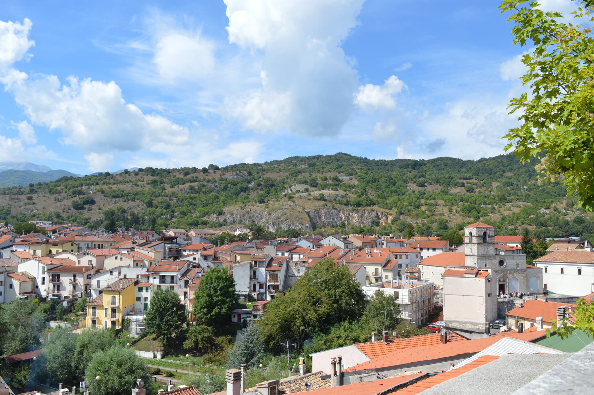
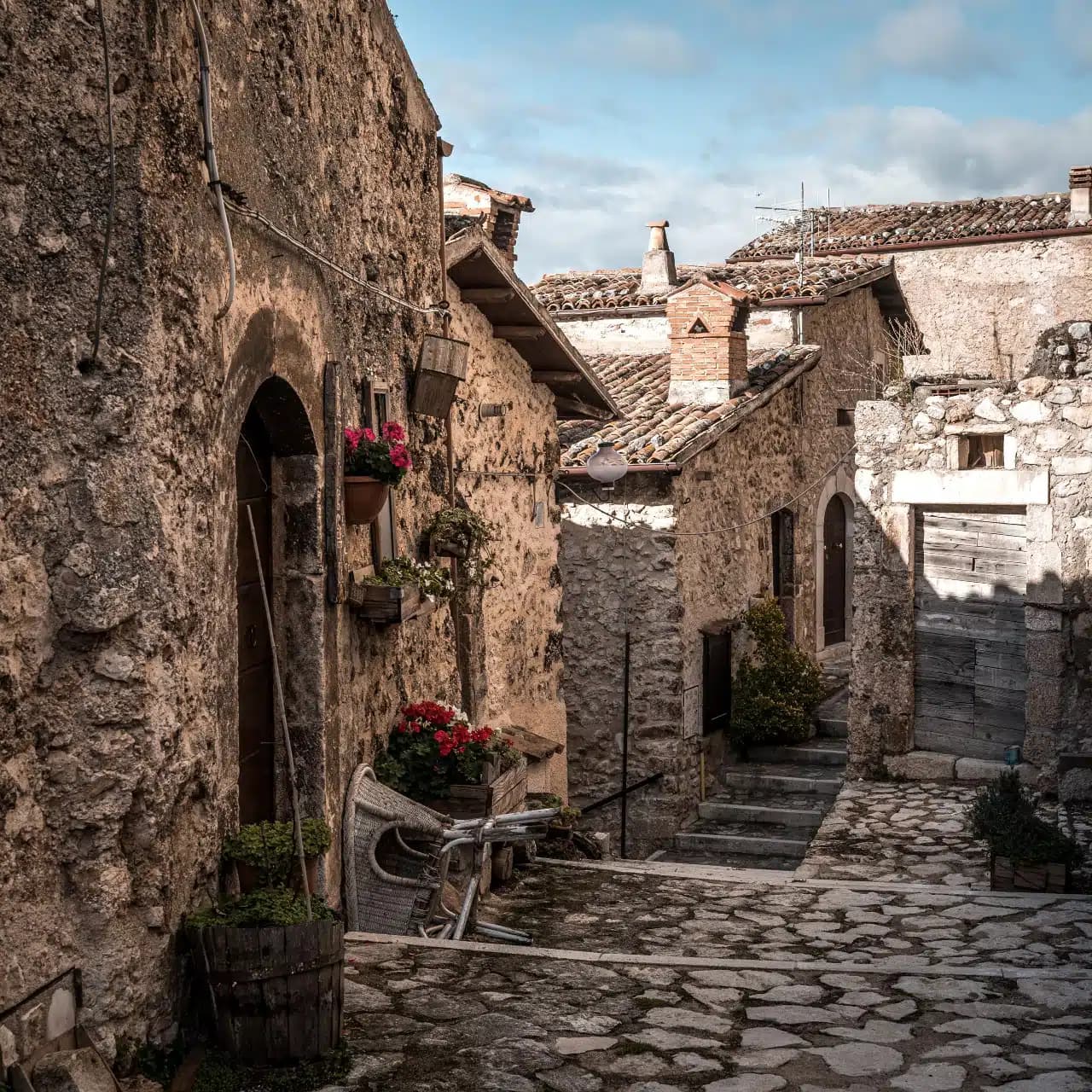
The three most recognised in our catalogue are Scanno, Caramanico Terme, and Fara San Martino. 31 more towns carry the mark alongside them.
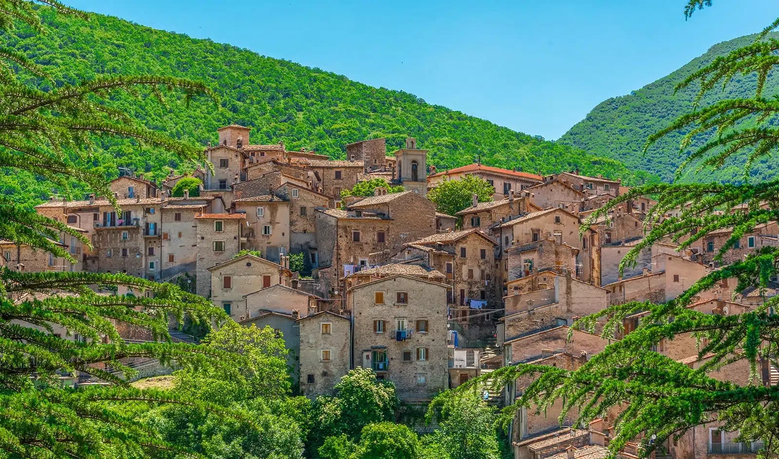
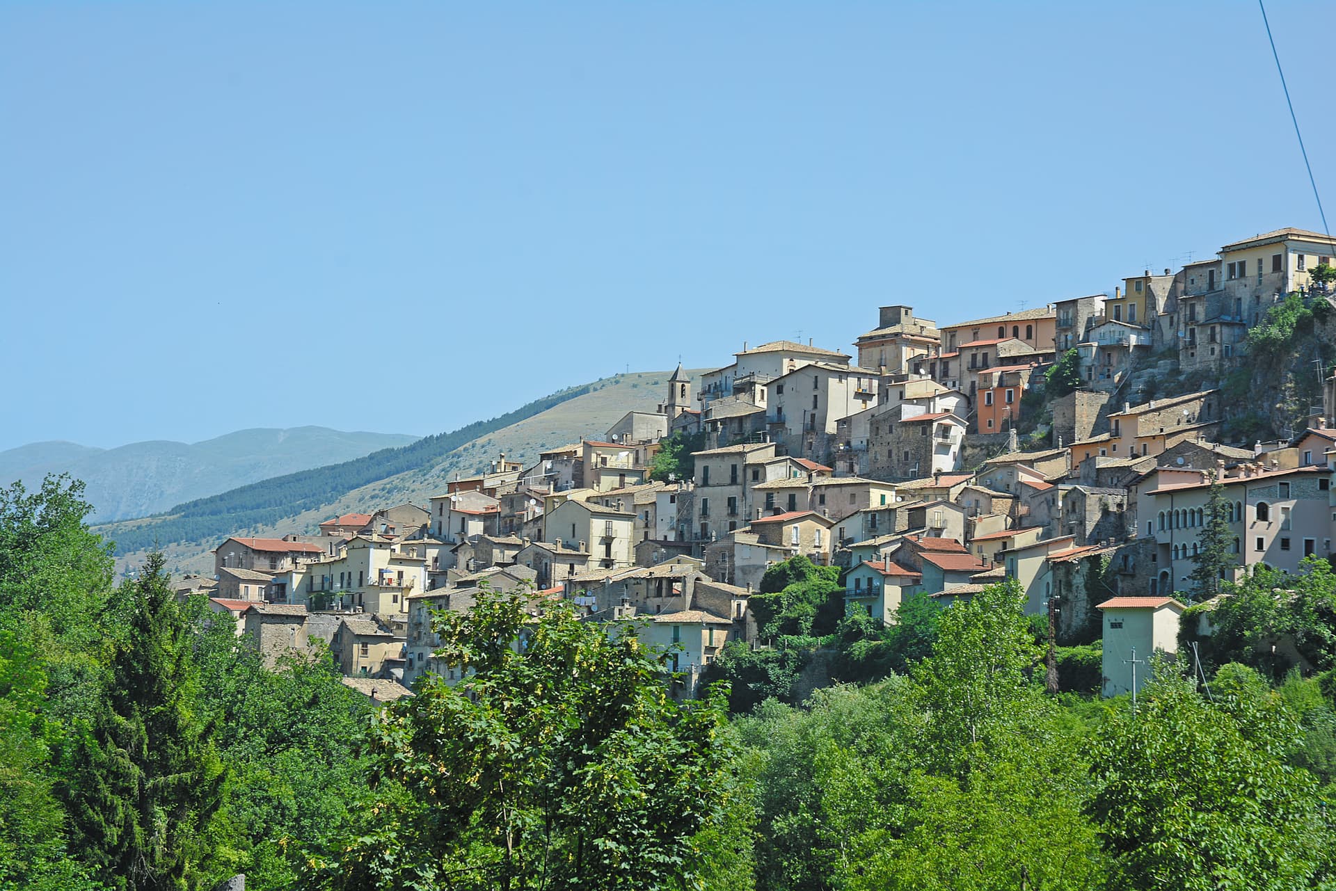
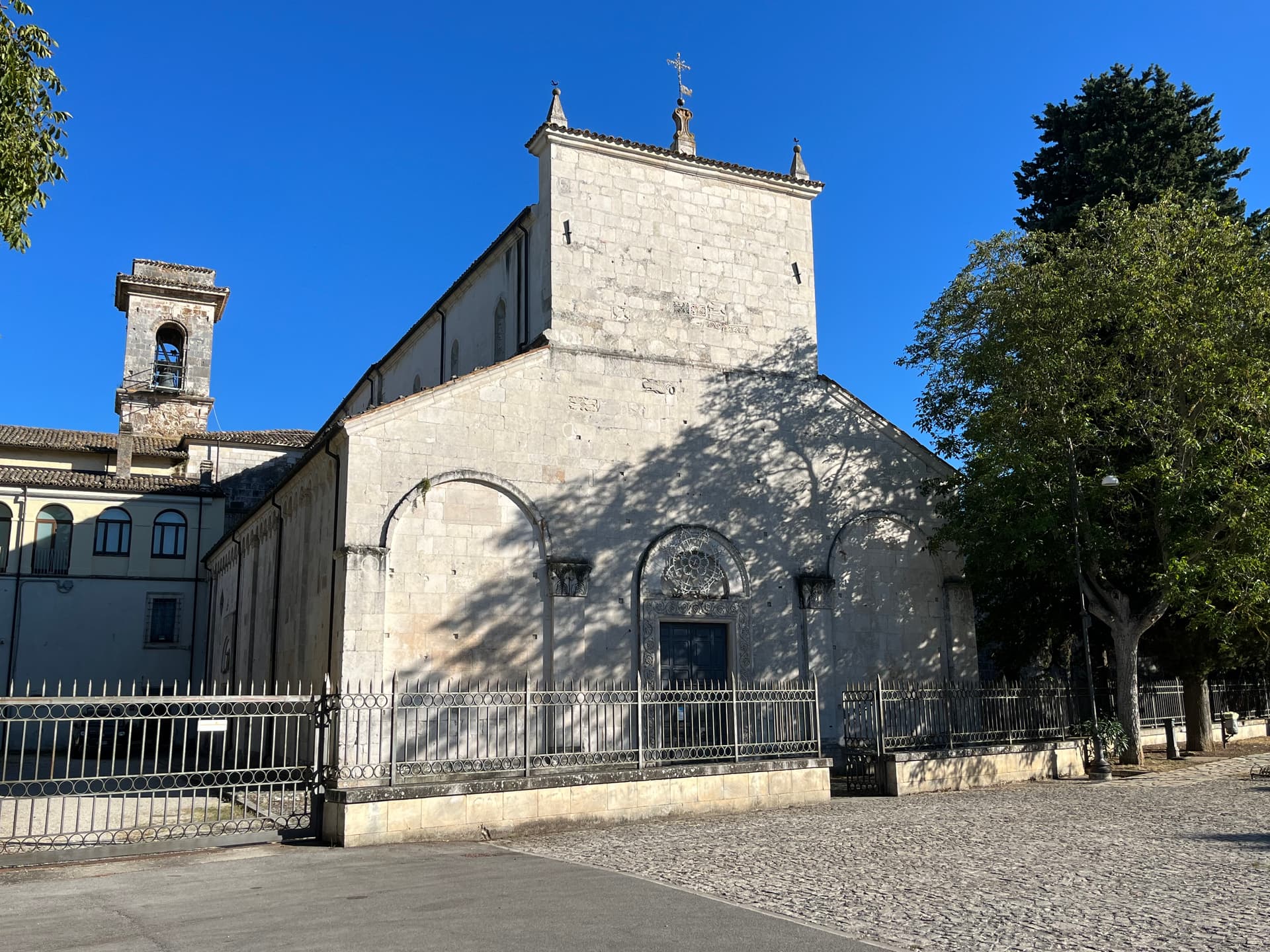
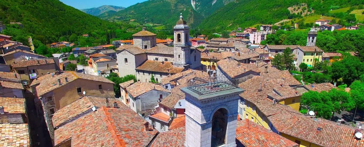
Scanno
Province: L'Aquila · 1,057 m
A 1,057-meter Sagittario valley village photographed by Cartier-Bresson and Giacomelli, where women in black still walk the same alleys as the 1957 series.
Caramanico Terme
Province: Pescara · 650 m
A 650-meter Majella spa village at the confluence of the Orfento and Orta, with sulphurous springs whose properties were documented in 1576.
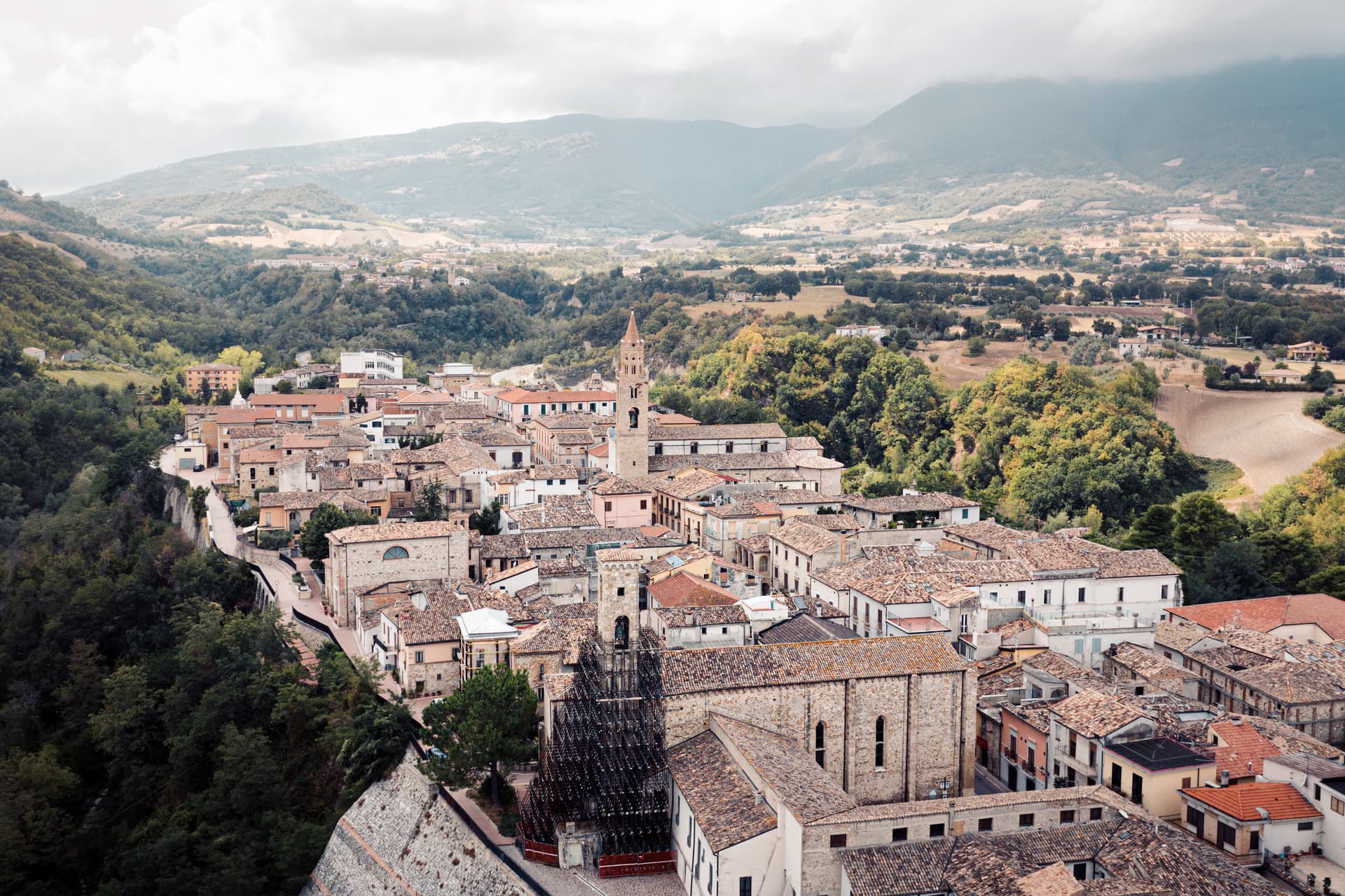
Fara San Martino
Province: Chieti · 440 m
The pasta capital of Italy at 440 meters, where De Cecco was founded in 1886 and the Verde river runs out of a two-meter slot in the Majella wall.
Lama dei Peligni
Province: Chieti · 669 m
A 669-meter Majella village known for chamois, the Cavallone cave, and a prehistoric burial dug from Fonterossi dated 7000 to 5000 BC.

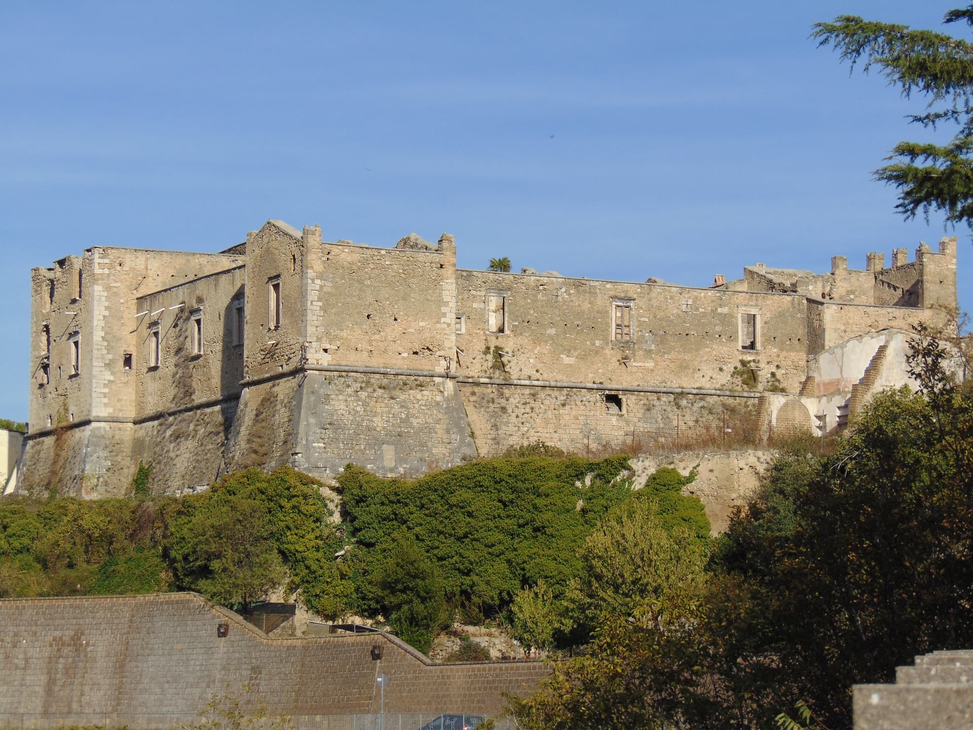
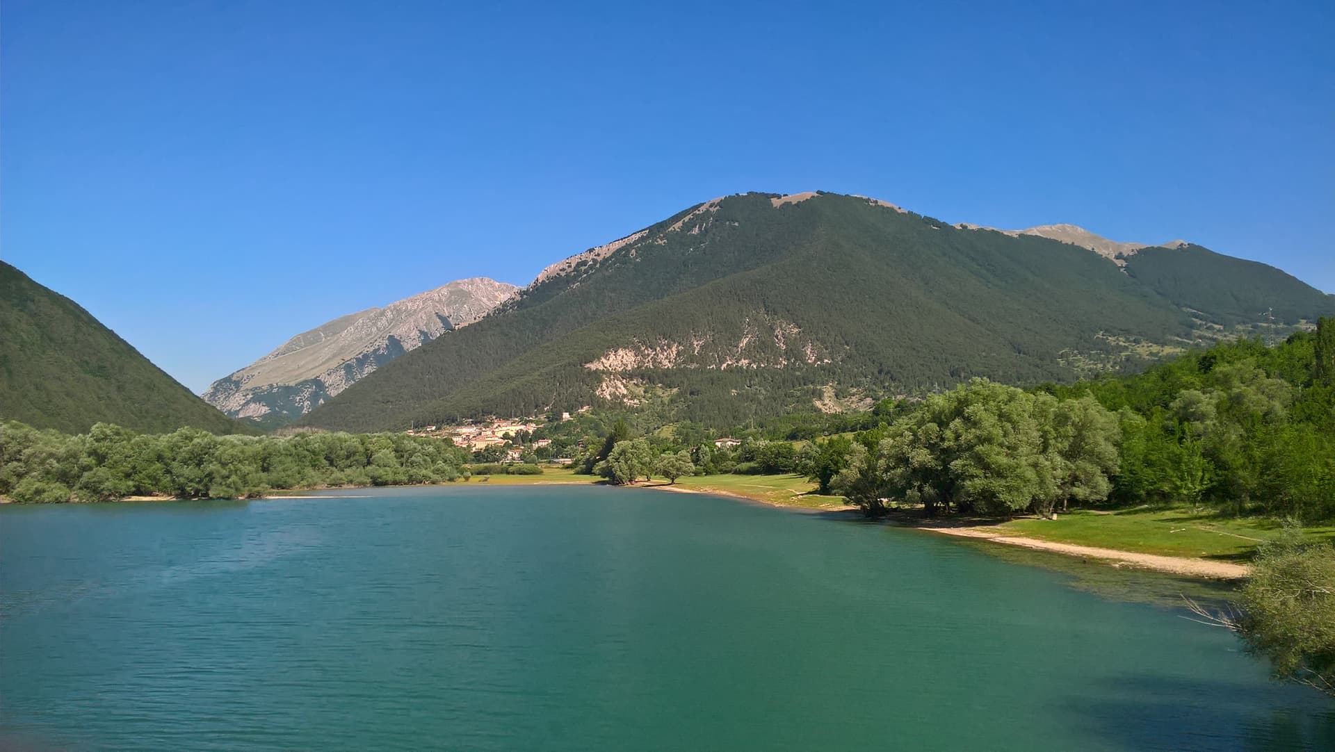
Barrea
Province: L'Aquila · 1,066 m
A 1,066-meter spur above an artificial lake at the heart of the Abruzzo National Park, with a Samnite necropolis and an 11th-century di Sangro castle.
Civitella del Tronto
Province: Teramo · 589 m
A rocky crest at 589 meters above the Tronto valley, crowned by the last Bourbon fortress to surrender to united Italy in March 1861.
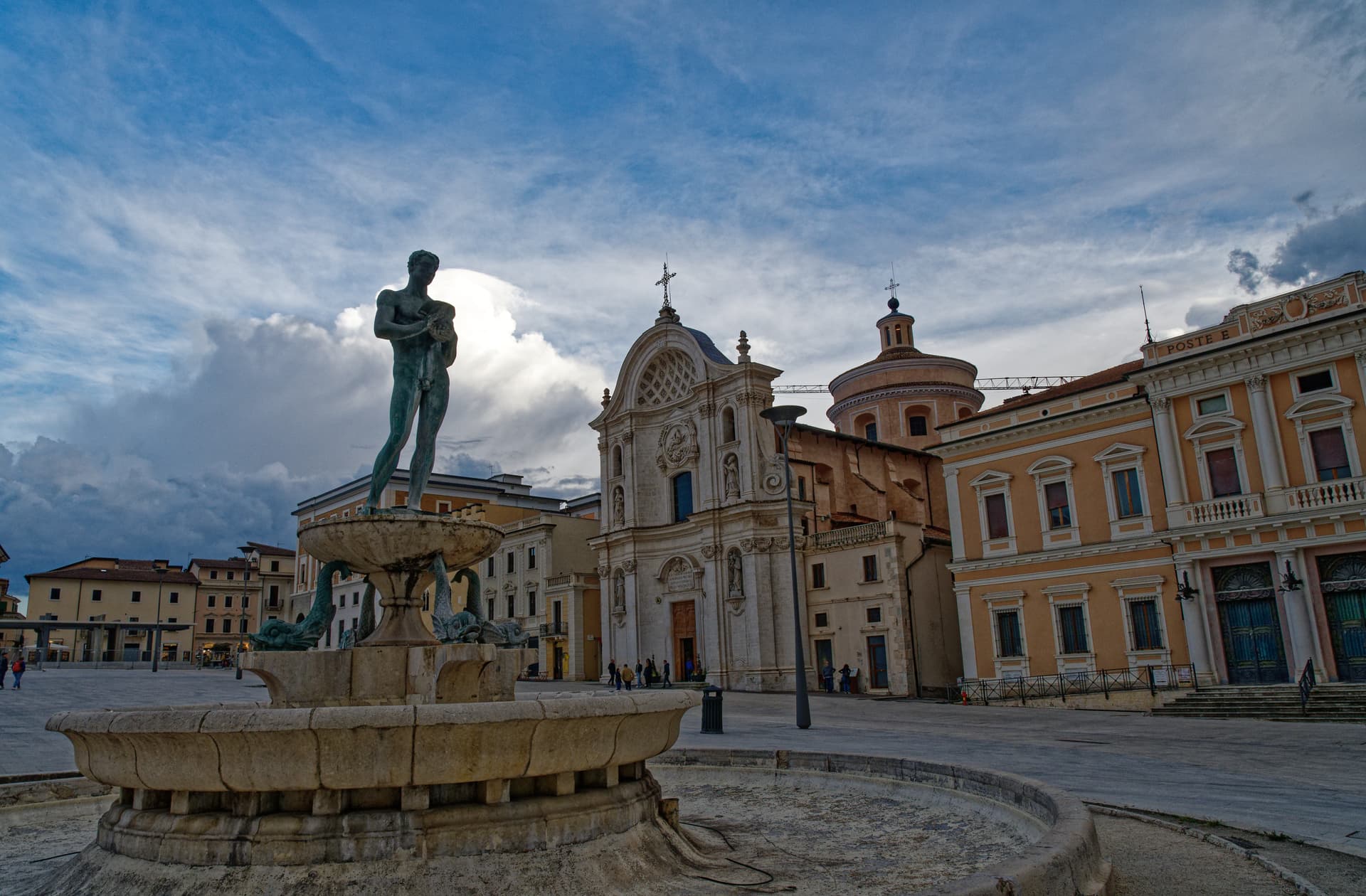
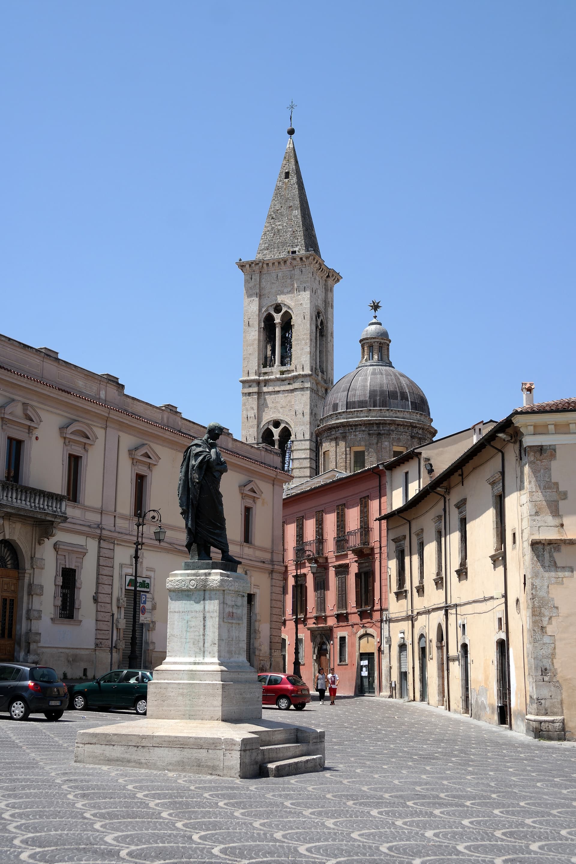
L'Aquila
Province: L'Aquila · 721 m
The regional capital at 721 meters under the Gran Sasso, founded by Frederick II around 1240 and still reconstructing after the 2009 earthquake.
Ofena
Province: L'Aquila · 531 m
A 531-meter Vestian basin called the Forno d'Abruzzo, sealed by the Gran Sasso wall, where Montepulciano ripens on what may be the oldest of its slopes.
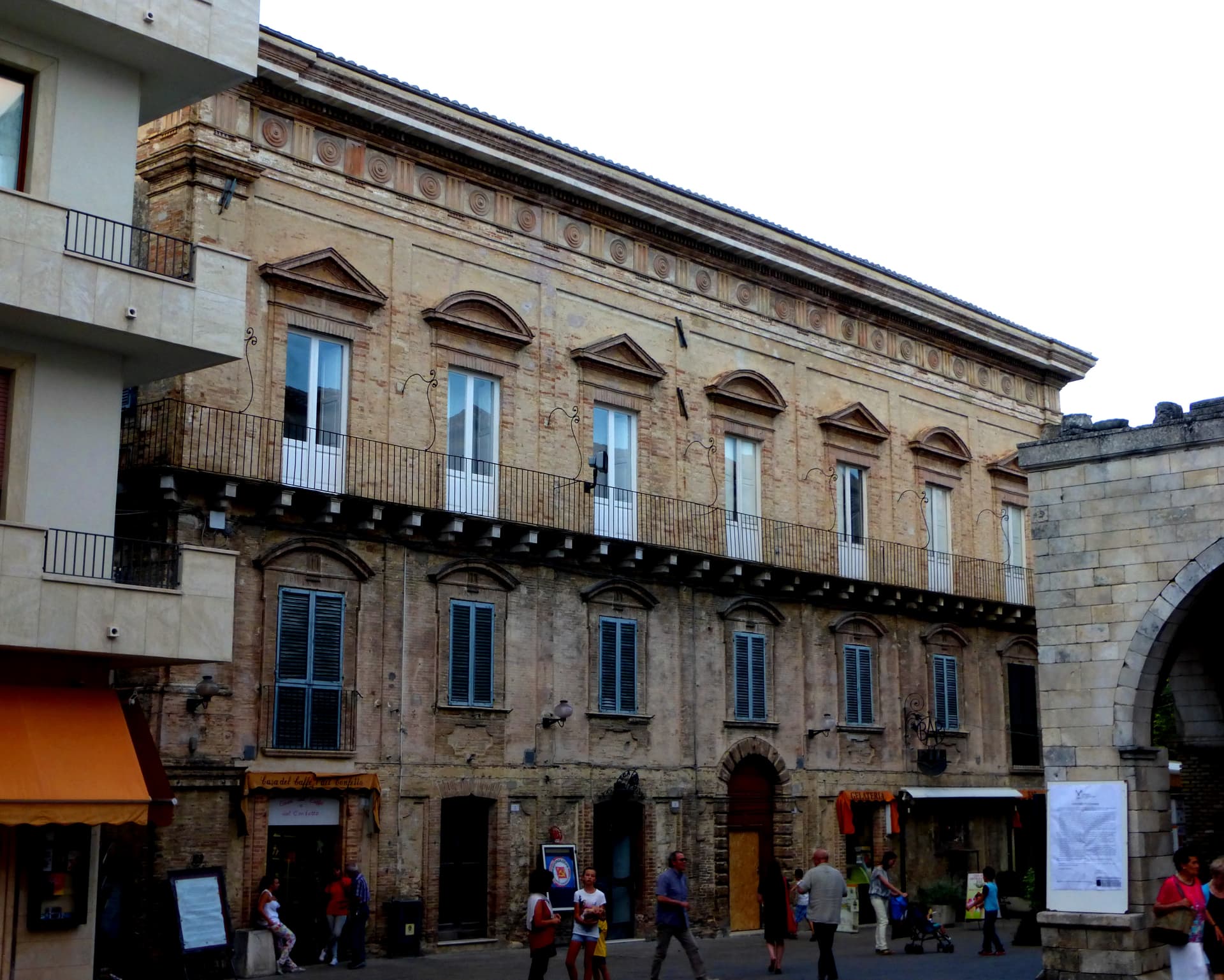
Pescocostanzo
Province: L'Aquila · 1,395 m
A planned Renaissance town at 1,395 meters on the Quarto Grande plateau, with bobbin lace, wrought iron, and the wood ceilings of a five-nave church.
Pettorano sul Gizio
Province: L'Aquila · 656 m
At 656 meters above the Gizio river, a Cantelmo fortress town that guarded the gateway to the Peligna valley for four hundred years.
Pretoro
Province: Chieti · 530 m
A village of 856 stacked at 530 meters on the eastern Maiella, with wolves in a fenced enclosure and woodturners still working on Via Roma.
Tocco da Casauria
Province: Pescara · 356 m
A 356-meter hill town between the Pescara river and the Maiella, built around a Carolingian abbey and an herb liqueur called Centerba.

Campo di Giove
Province: L'Aquila · 1,064 m
At 1,064 meters under the southwestern Maiella, the highest village in the park, named for a Roman temple to Jupiter.
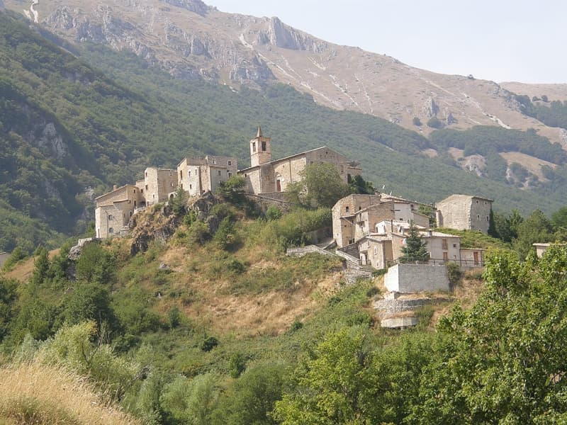
Civitella Alfedena
Province: L'Aquila · 1,123 m
At 1,123 meters above Lake Barrea, 285 residents, the trailhead for the Camosciara reserve and home of the Apennine Wolf Museum.
Corfinio
Province: L'Aquila · 346 m
A village of under a thousand on the Peligna valley floor at 346 meters, sitting on the Italic League's would-be capital Italia.
Guardiagrele
Province: Chieti · 576 m
The 576-meter terrazza d'Abruzzo on the Majella's foothills, hometown of fifteenth-century goldsmith Nicola da Guardiagrele and seat of the Majella park.

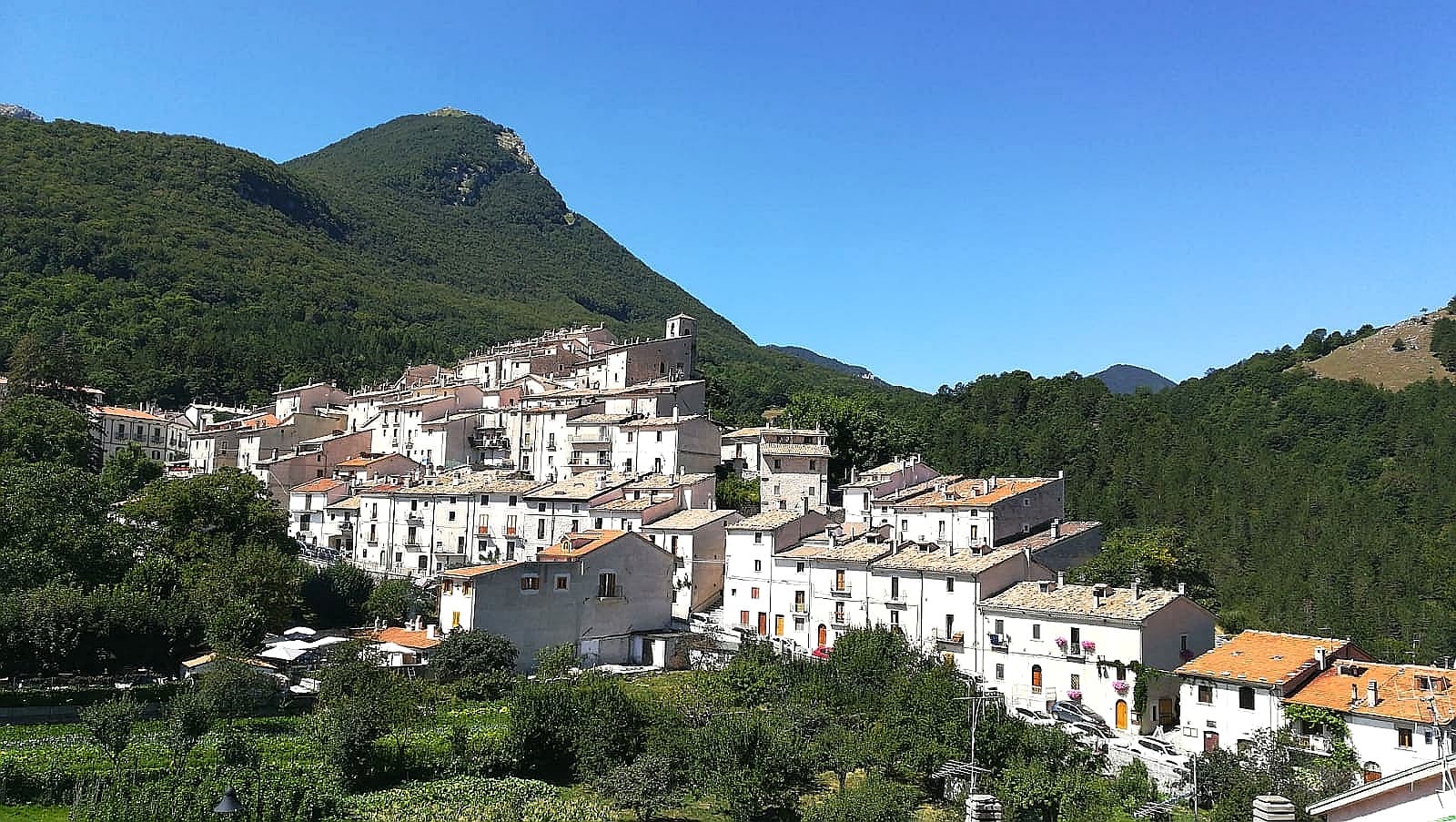
Pacentro
Province: L'Aquila · 650 m
A medieval village at 650 meters under the Caldora castle towers, where every September a barefoot race honors a Madonna and a pop singer's grandparents.
Pietracamela
Province: Teramo · 1,005 m
A village of 218 people clinging at 1,005 meters under the north wall of Corno Piccolo, birthplace of Italian Apennine climbing in 1925.
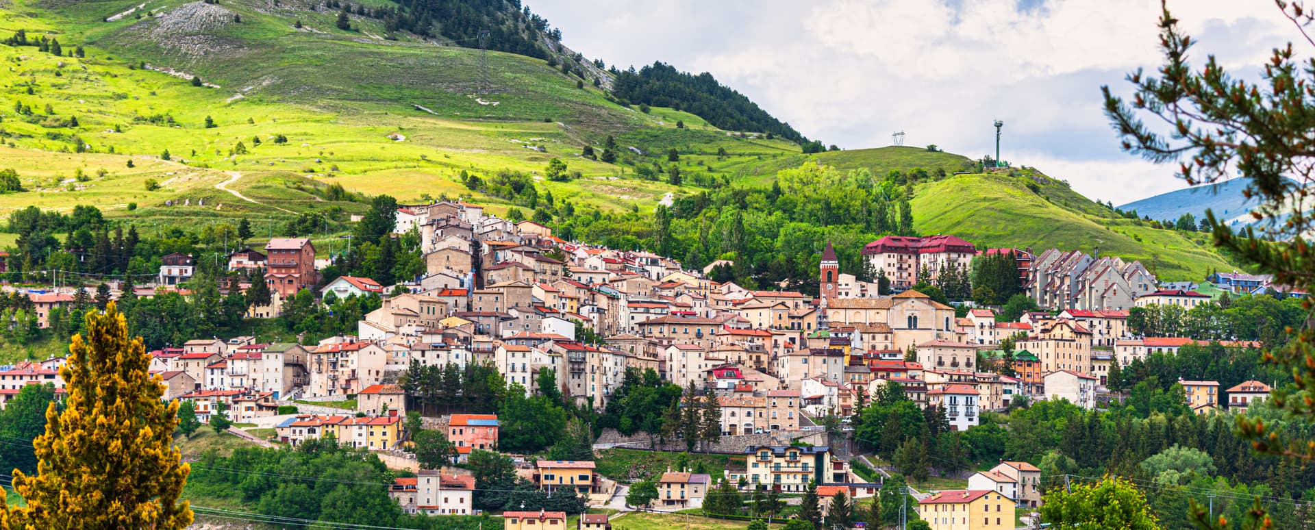
Rivisondoli
Province: L'Aquila · 1,320 m
At 1,320 meters on the Cinque Miglia plateau, paired with Roccaraso in the Alto Sangro ski domain and known for its Epiphany living nativity.
Roccamorice
Province: Pescara · 520 m
A village at 520 meters in the Majella foothills, gateway to the rock-cut hermitages where Pietro da Morrone lived before becoming Pope Celestine V.
Alfedena
Province: L'Aquila · 914 m
At 914 meters at the head of the upper Sangro valley, the Samnite Aufidena, with a 15,000-tomb necropolis and a Roman conquest in 298 BC.

Calascio
Province: L'Aquila · 1,200 m
At 1,200 meters under the highest castle in the Apennines, a village of 125 people that played the monk's refuge in Ladyhawke.
Campli
Province: Teramo · 393 m
A 393-meter town under the Monti della Laga, held by the Farnese for two centuries, with a Scala Santa carrying papal indulgence.
Castel del Monte
Province: L'Aquila · 1,346 m
At 1,346 meters under Monte Bolza facing Rocca Calascio, the capital of shepherds, whose wool reached the Medici and whose witches return each August.
Castelvecchio Calvisio
Province: L'Aquila · 1,067 m
118 people at 1,067 meters on a ridge above the Tirino, inside a fortified ellipse of stone walls with alleys orthogonal to its perimeter.
Manoppello
Province: Pescara · 257 m
A hill town at 257 meters above the Pescara river, custodian since 1620 of the byssus veil known as the Volto Santo.
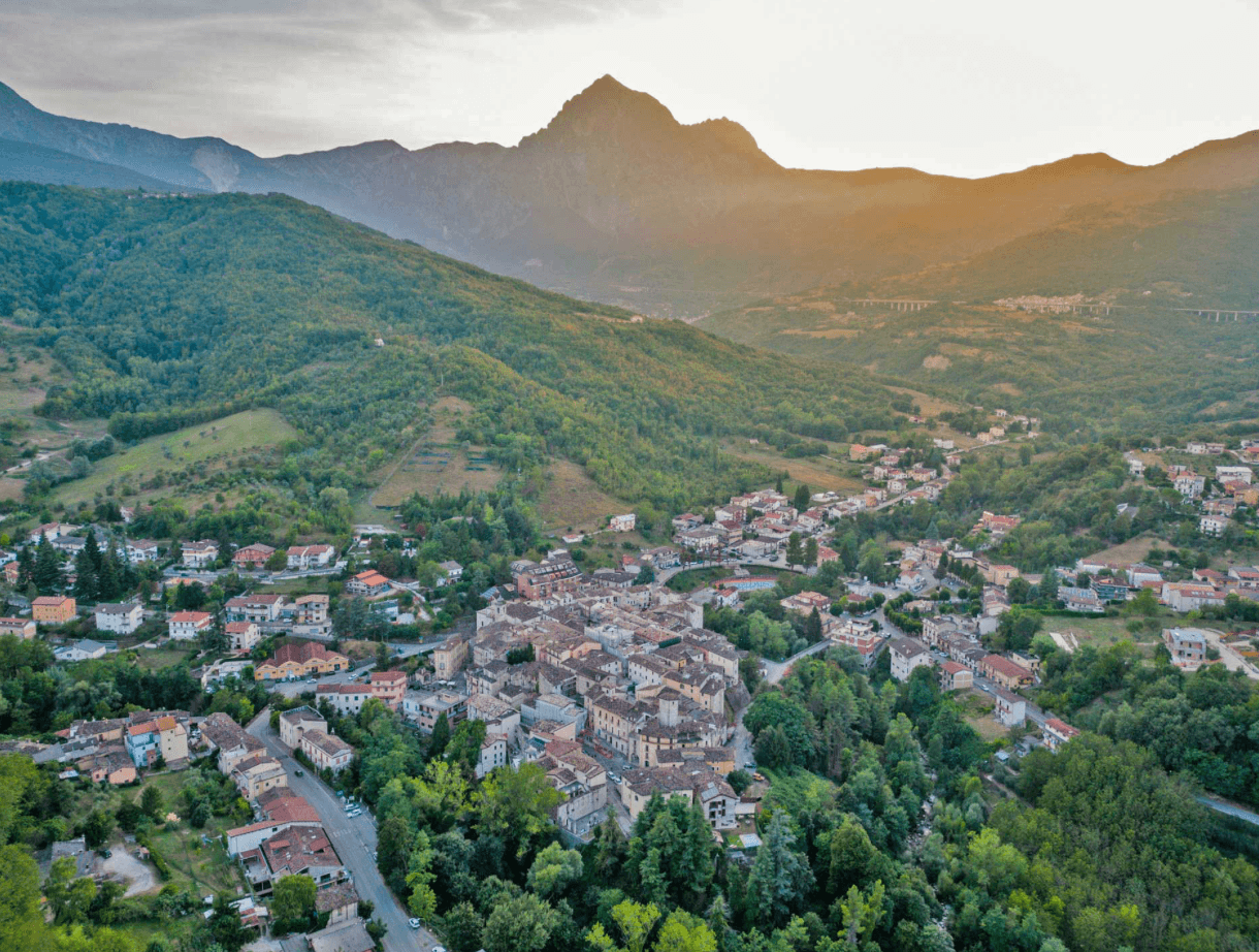
Pescasseroli
Province: L'Aquila · 1,167 m
At 1,167 meters at the head of the Sangro valley, capital of Italy's oldest national park and birthplace of Benedetto Croce.
Roccacasale
Province: L'Aquila · 450 m
A village of 597 on the slopes of Monte Morrone, under the ruins of a Cantelmo-De Sanctis castle blown up by Napoleon's army in 1803.
Roccaraso
Province: L'Aquila · 1,236 m
At 1,236 meters in the Alto Sangro, the south of Italy's largest ski resort, leveled by the Gustav Line in 1943 and rebuilt from rubble.
Santo Stefano di Sessanio
Province: L'Aquila · 1,250 m
A Medici outpost at 1,250 meters on the southern edge of Campo Imperatore, restored building by building since 1999 into Italy's first scattered hotel.
Villetta Barrea
Province: L'Aquila · 975 m
At 975 meters on the shore of Lake Barrea, a village inside the Abruzzo National Park where red deer walk the streets alongside residents.

Capestrano
Province: L'Aquila · 465 m
A hilltop village at 465 meters above the Tirino valley, where in 1934 a farmer turned up the 6th-century BC limestone Warrior of Capestrano.
Isola del Gran Sasso d'Italia
Province: Teramo · 415 m
At 415 meters at the foot of the Gran Sasso massif, the commune holds one of the world's fifteen most-visited Catholic sanctuaries.
Sulmona
Province: L'Aquila · 405 m
At 405 meters in the Valle Peligna, birthplace of Ovid in 43 BC and home of the sugared-almond confetti industry since the 14th century.
Subscribe — free
Get the best guides on hidden Italian towns.
One letter on Sundays. The week’s town, with the photo, the food, the festa. Free, by Peter & Sophia from Pietrasanta.
Substack sends a confirmation link to your inbox. The signup finishes when it’s clicked.
From elsewhere in Italy
Five more towns to discover
Putignano
Province: Bari
Europe's longest-running carnival — Putignano Carnevale has run continuously since 1394, with 631 years of cartapesta papier-mâché floats, a 26,000-resident Murgia town on the Bari–Lecce plateau, and the Grotta del Trullo karst cave inside the centro.

Pistoia
Province: Pistoia
Italy's nursery capital and the medieval Tuscan rival that gave its name to the pistol — a quietly extraordinary centro storico of zebra-striped Romanesque churches, Andrea della Robbia's polychrome frieze on the Ospedale del Ceppo, and Italy's Capital of Culture 2017, all 30 minutes from Florence by train.
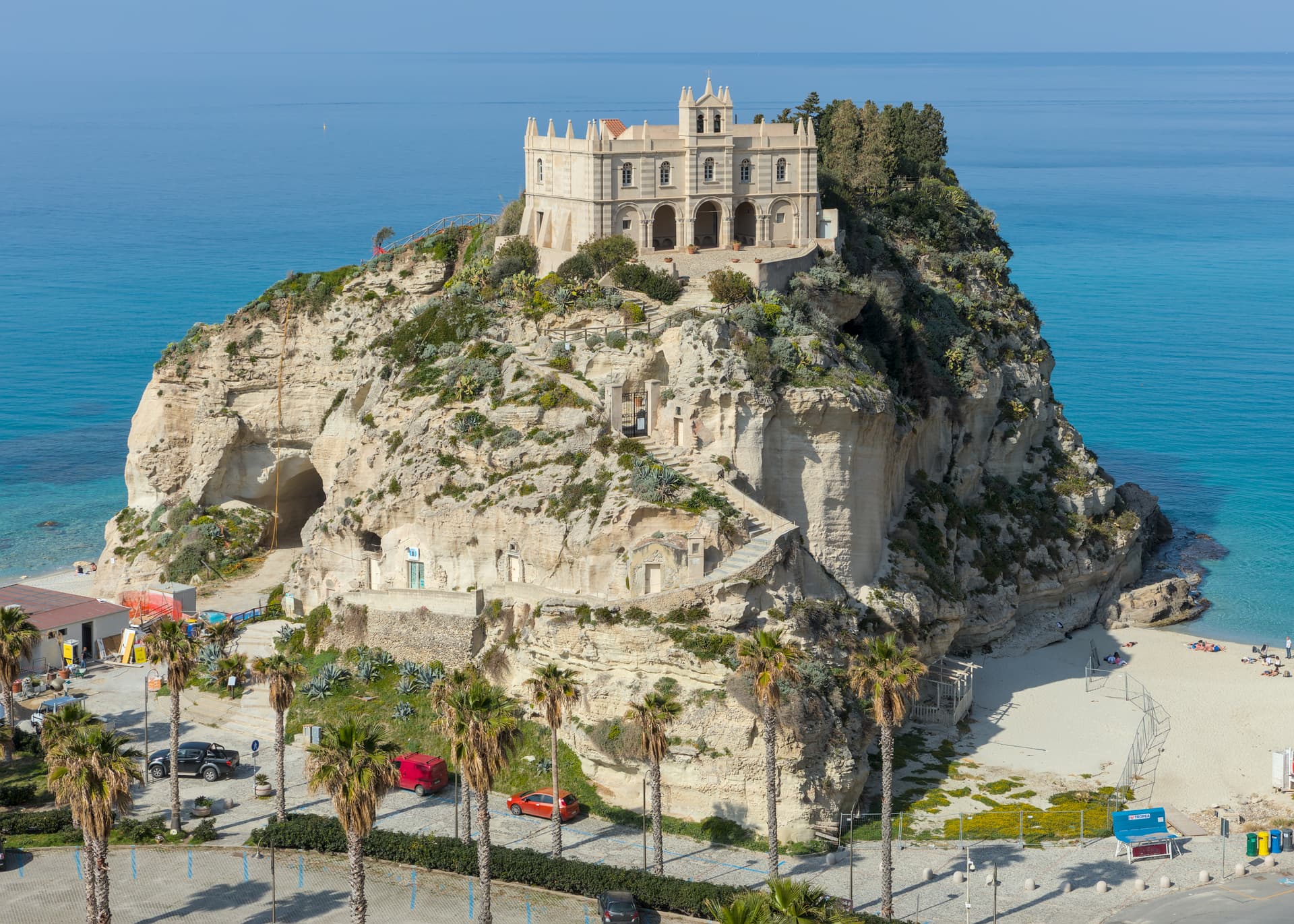
Tropea
Province: Vibo Valentia
Cliff town on a tufa headland over the Tyrrhenian Coast of the Gods, with a Norman monastery on a sea rock.
Caldes
Province: Trento
A scattered Val di Sole commune on the Noce, six hamlets gathered around a thirteenth-century tower-house castle that once belonged to the Thun family.
Cantiano
Province: Pesaro e Urbino
A border borgo at 374 meters under Monte Catria on the old Via Flaminia, known for the Good Friday Turba and the sour-cherry visciola harvest.